カテゴリー: サイクリングルート

  • “Two Towers in One Day” Challenge – Useful Info and Experience Sharing (2)

    “Two Towers in One Day” Challenge – Useful Info and Experience Sharing (2)

    このブログ記事の翻訳を進行中です。もうすぐ完成しますので、後ほど再度ご確認ください。ご不便をおかけして申し訳ありません。現在は、こちらで提供されているGPXルートや地図などの情報を自由にご利用ください。

    Execution

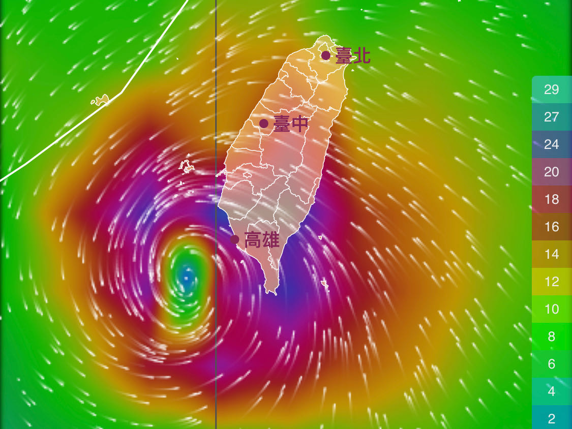
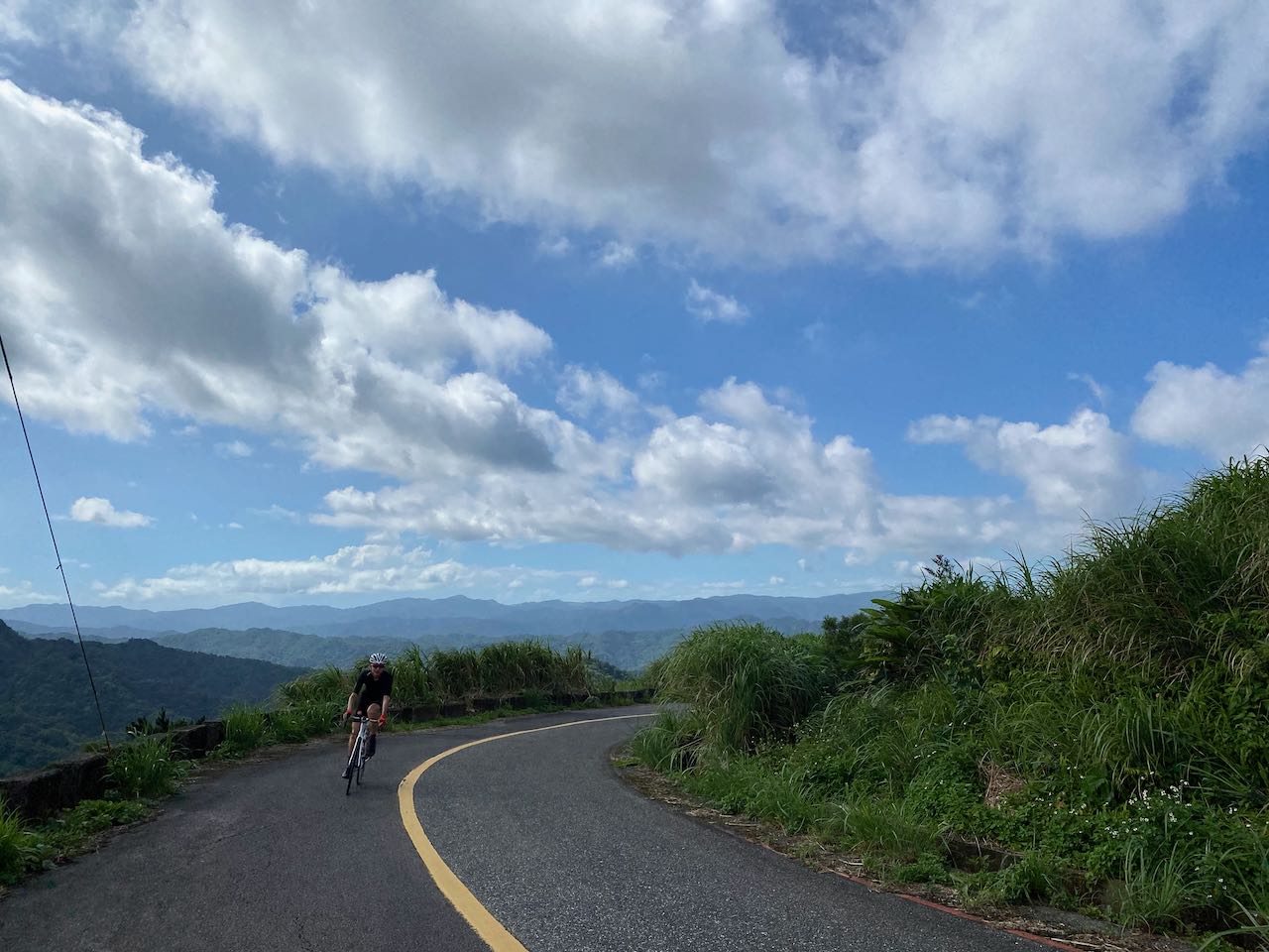
    Bad news: weather forecast said there wouldn’t be tailwinds for us. It’s very uncommon for this season and it happened to fall on the event day. It turned out that at some point, there would even be a 7km/h wind blowing against us and I had to join some groups for drafting. But on the bright side, the lack of north wind means that it would be dry and there would be no slippery, dirty road surfaces.

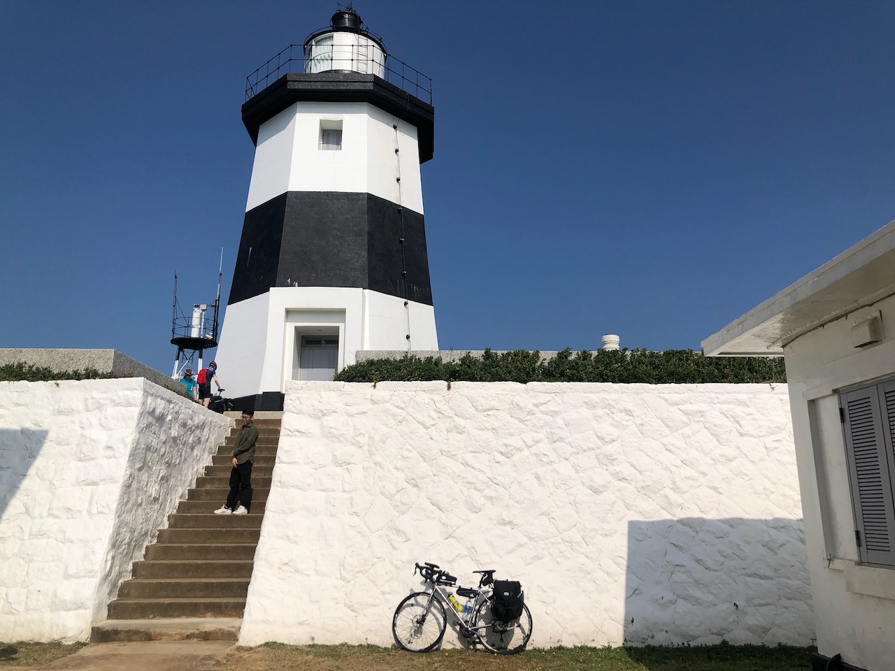
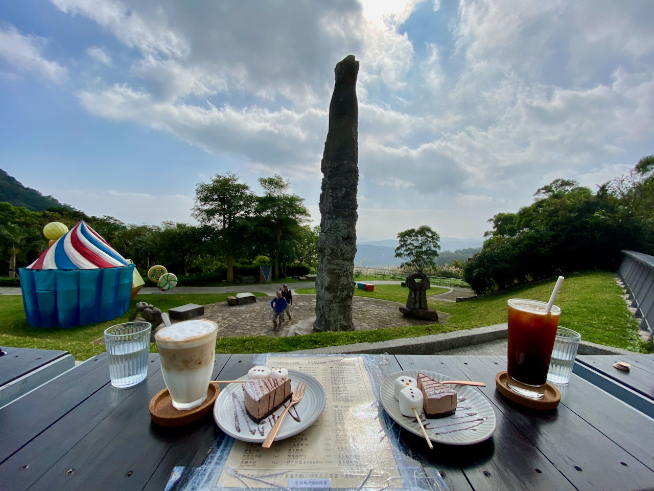
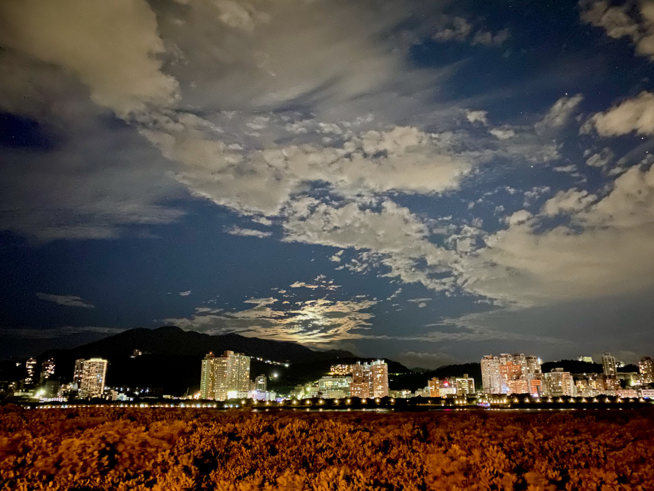
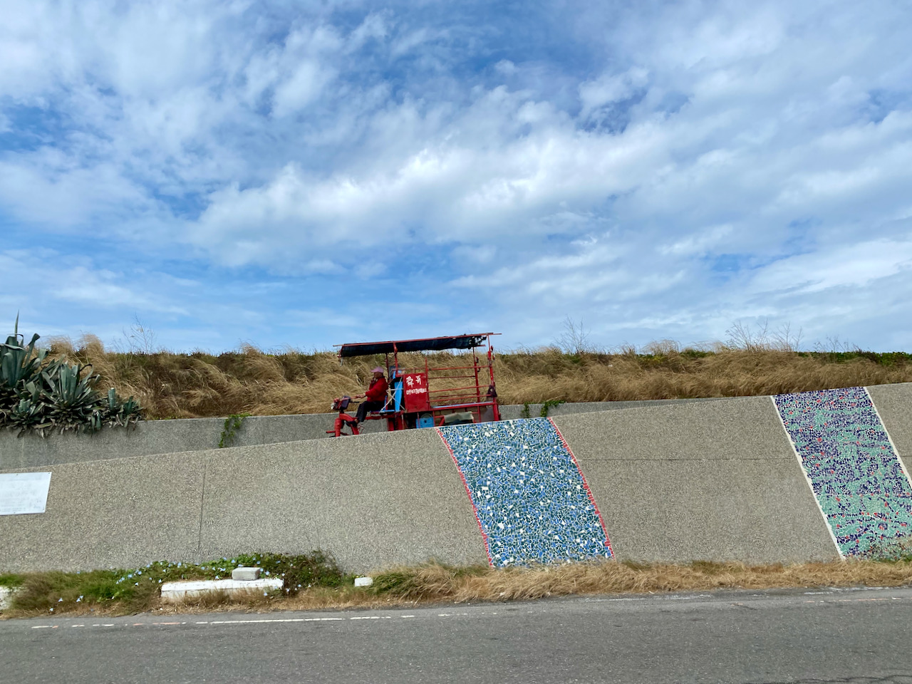
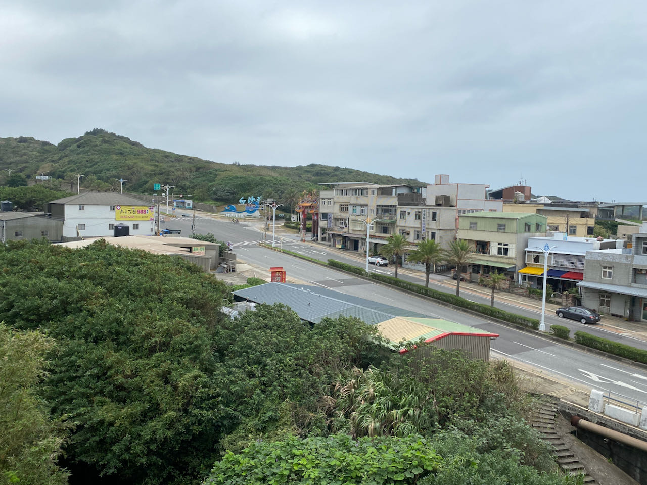
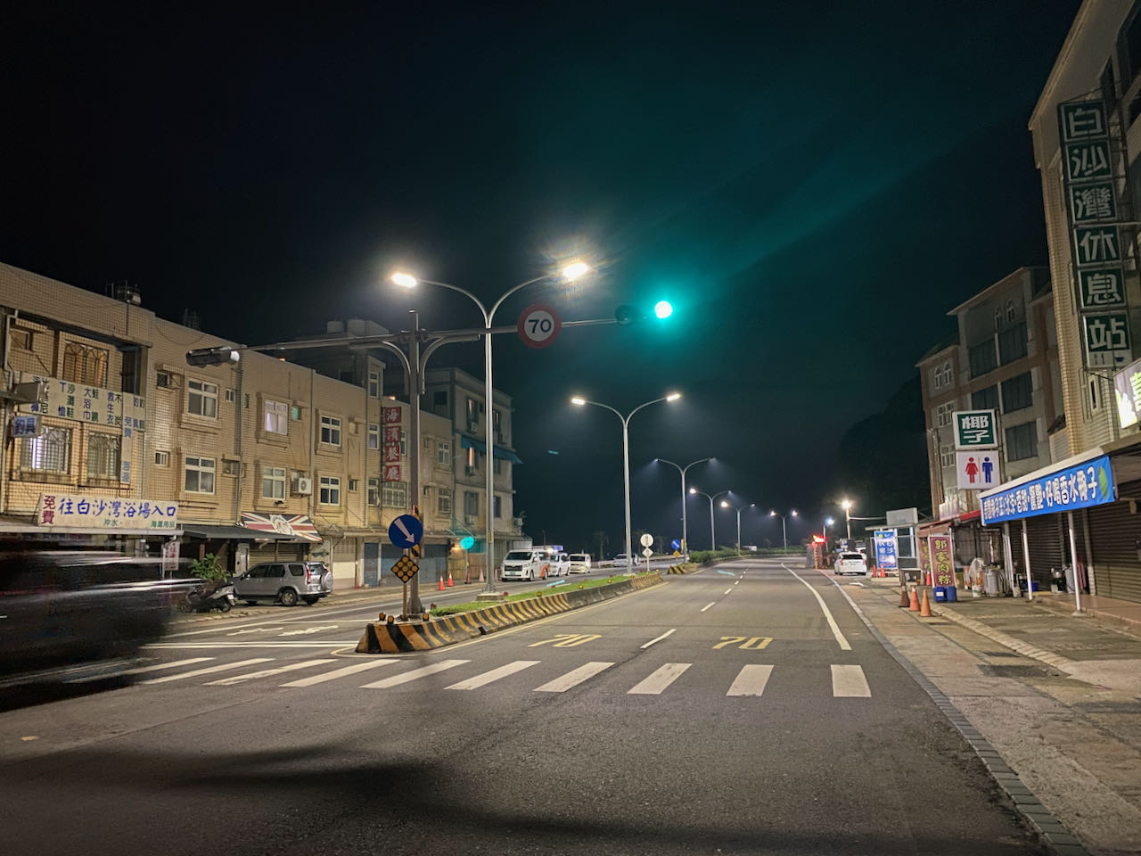
    On Friday morning, I took the MRT to Hongshulin Station and cycled 20 km to Baishawan where only three businesses were open: a pub, a grocery store and a food stall selling sticky rice dumplings and escargots. They only exist because of those visitors to the beach during summer. The atmosphere is completely different in November. I felt so lonely and regretted that I had only a simple meal from 7-eleven in Hongshulin. I should have treated myself to a decent one before getting to this small settlement. 

    Poor Choice of Hotel

    I checked into a small hotel I booked a couple weeks ago. It was clean with a good view. But the mattress was too soft for me. There was no support at all and it left my body in a strange posture. I missed my own bed already. I took a shower and had a beer with some escargots and two sticky rice dumplings for “dinner”. Around 4:00 pm, I was ready to go to bed. I estimated that I would have had 6 hours of sleep before my alarm went off at 10:00 pm. But I was woken up by the arrival of a group of cyclists who checked in around 6:00 pm. Soundproofing of that building was so poor that whenever the elevator moved, there was a squeal followed by a knocking sound when it stopped, which made it impossible for me to fall back to sleep. Though being frustrated and angry, I forced myself to lay flat and keep my eyes shut and wait for the time to pass. It’s going to be a long day. Gotta conserve every drop of energy. I learnt, afterwards, that some would even take sleeping pills but I wouldn’t go that far.

    9:50 pm, I could not do it any more. I jumped out of bed and ate 2 pieces of bread to top up the fuel in my body, also hoping to trigger some bowel movement soon enough so that it would save me the trouble of looking for toilets during the event.

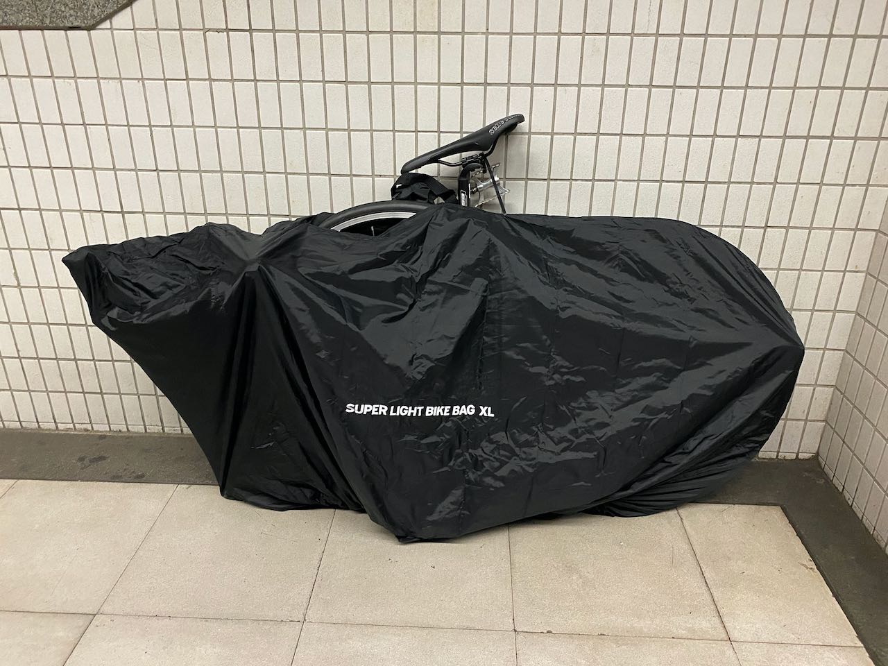
    Takeaways: I could have booked a better hotel where I had stayed years ago. But somehow that hotel had a lower priority on GoogleMaps so that it didn’t show up when I was searching for accommodation in the area. The map even showed that the hotel was closed after I explicitly searched for it. That’s why I ended up experimenting with a new one. But I saw other cyclists heading into it that day so it was probably still in business. Maybe the hotel did not own or update their Google Business Profile actively. So, it’s always a good practice to make a phone call to make sure.

    Small homestays/hotels with less rooms should be better choices as there won’t be large groups of travellers making lots of noises. More homestays/hotels are available in Sanzhi District 三芝區 which is around 6 km to 8 km away from the starting point. 
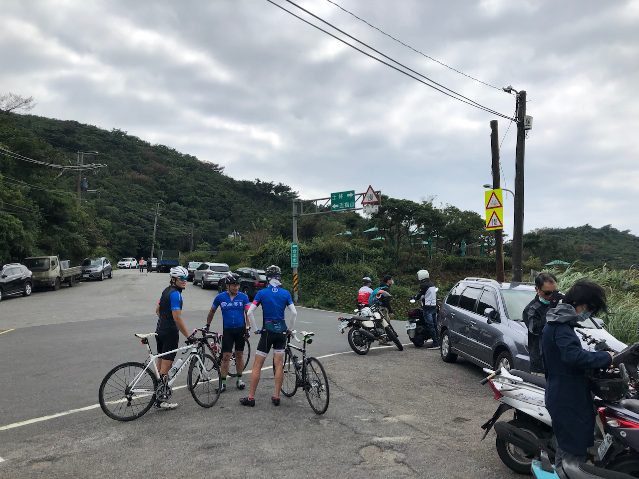
    Starting

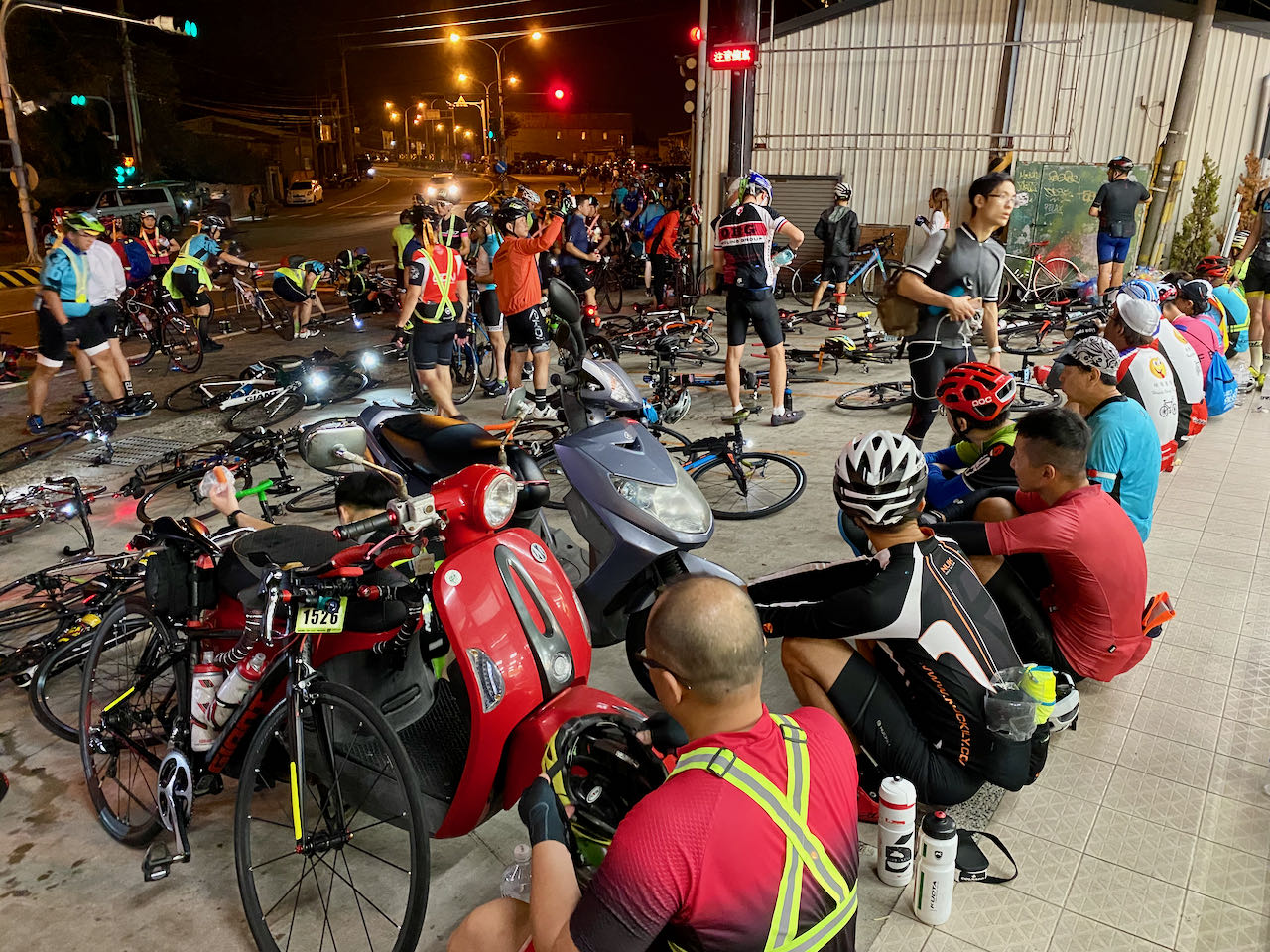
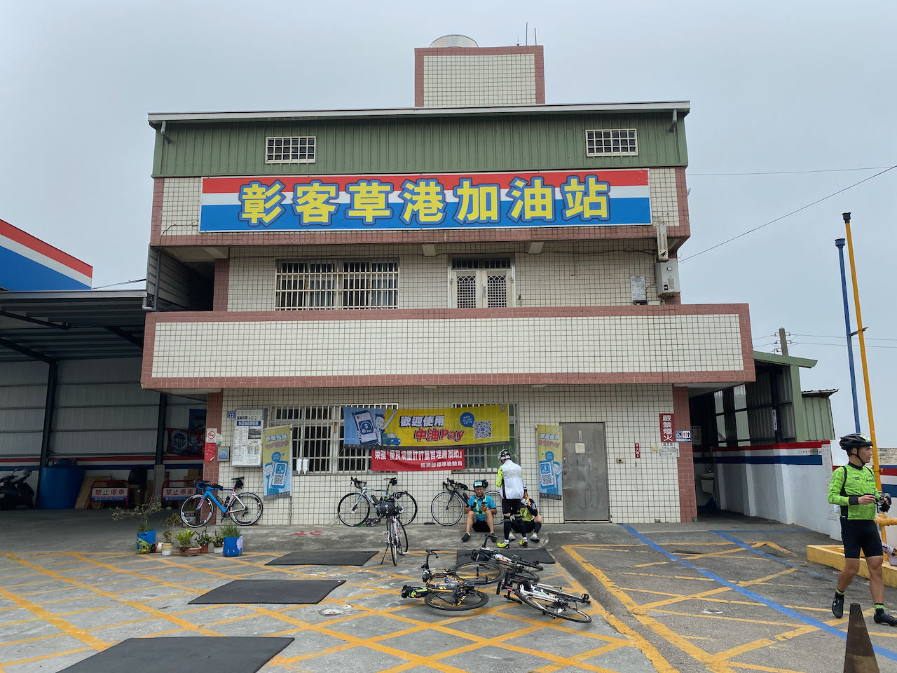
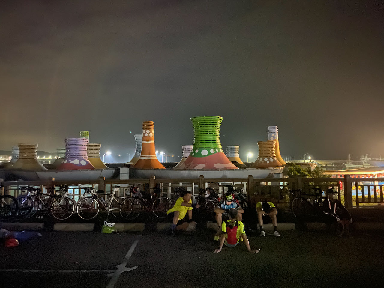
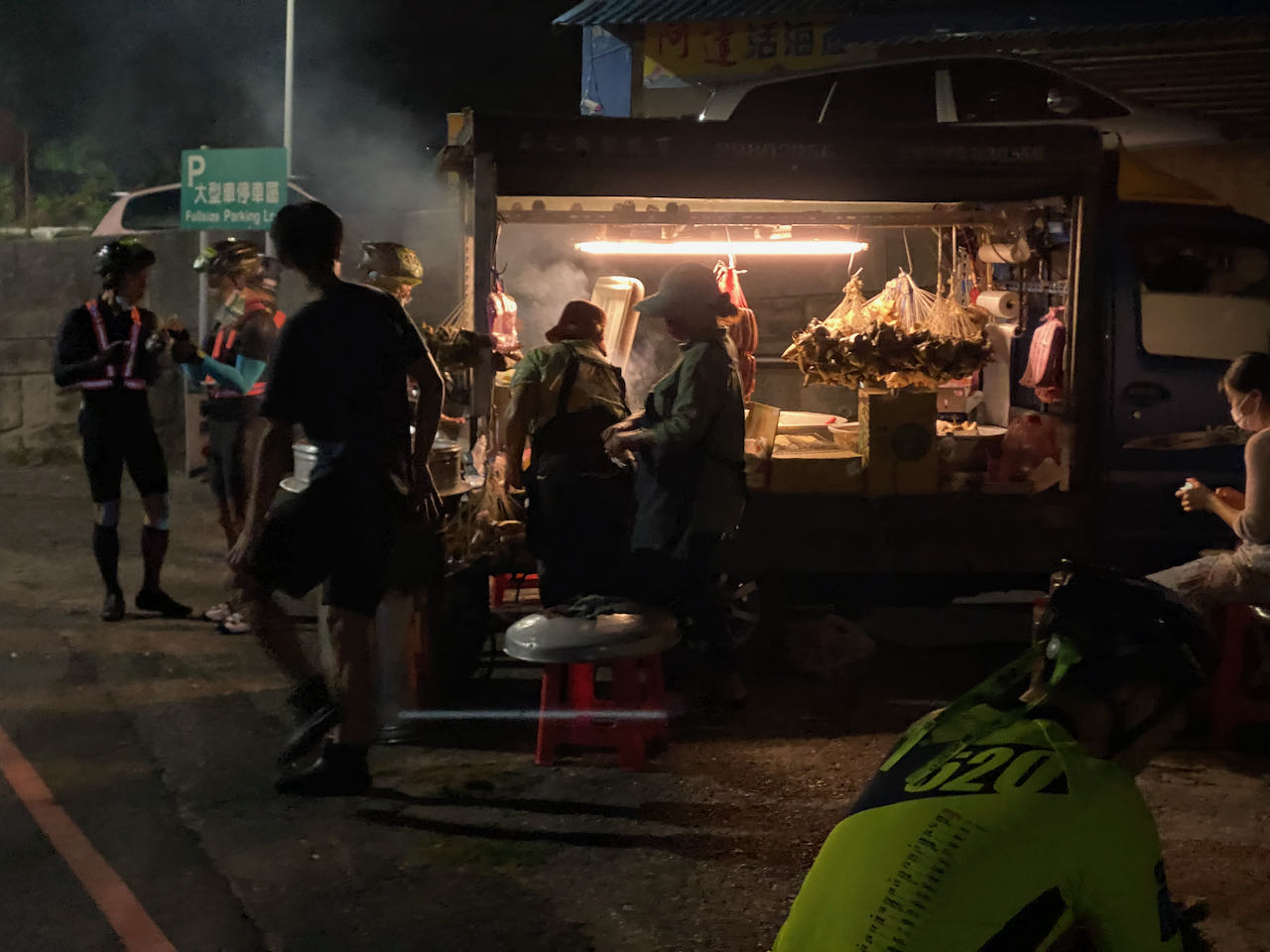
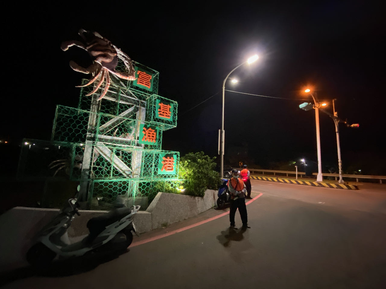
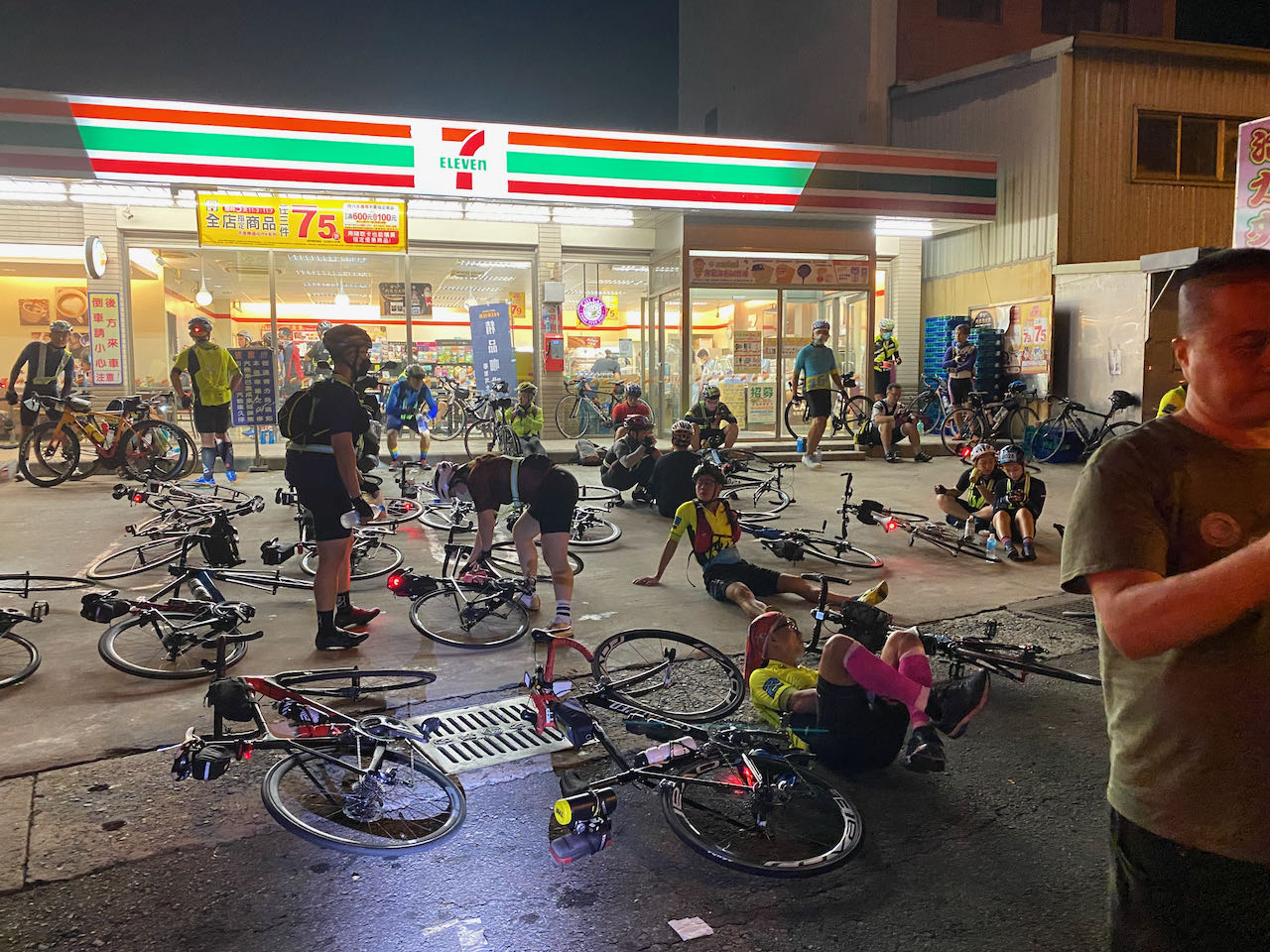
    It only took less than 5 minutes to cycle to Fuguijiao. There was a food truck selling sausages and sticky rice dumplings, one more chance to load up more fuel. At 22:30, there were already lots of participants waiting, most of them sitting in the big car park with their bikes. The big public toilet in the seafood market was open to the participants. No more administrative work required. We only needed to sign in by cycling through the starting gate with our number stickers on our helmets. It took a minute to deposit my backpack. 

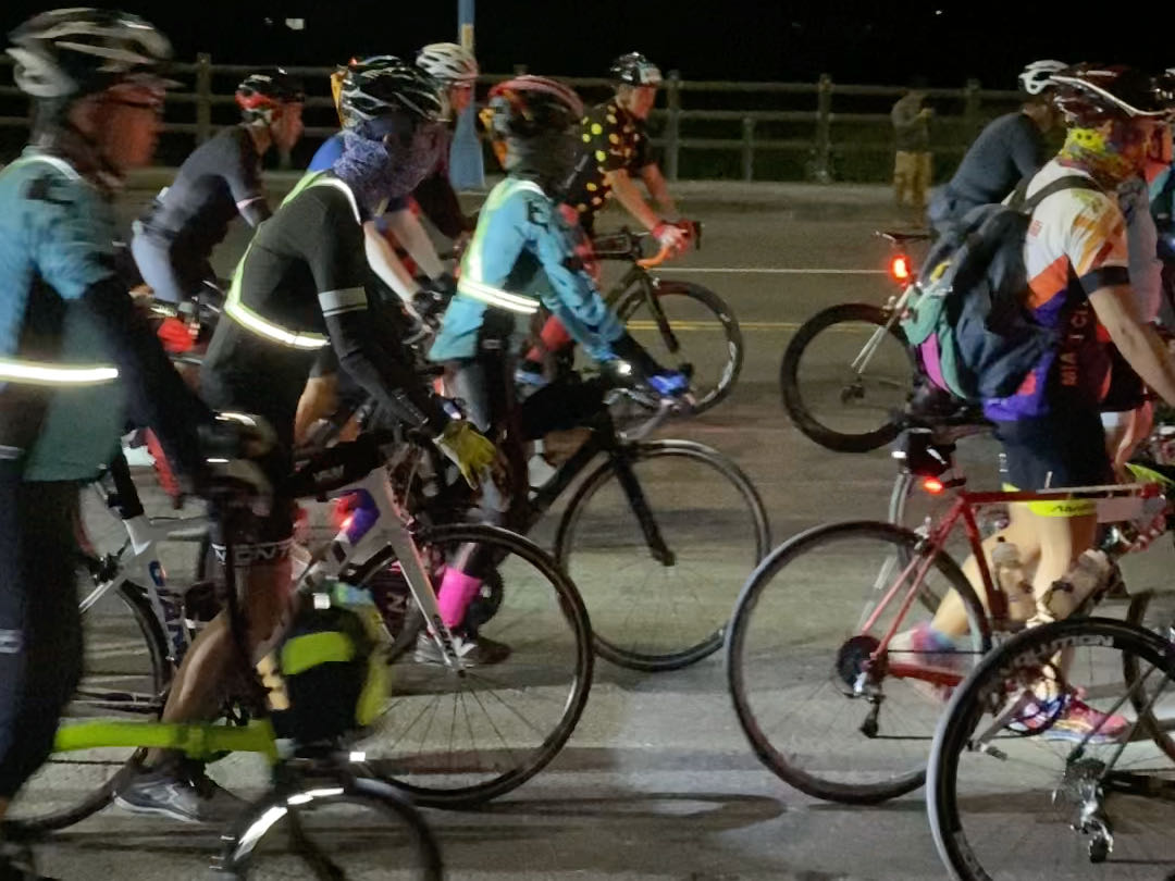
    There were more than 1500 participants queueing up behind the starting gate. Getting bored waiting, I chatted up a guy in his fifties who was also doing the challenge alone. Turned out it was his first time, too. Not even had he done the Taipei to Kaohsiung in One Day Challenge before. He finished work that day, asked his daughter to drive and send him to Fuguijiao, took a brief rest and had dinner, then here he was. 

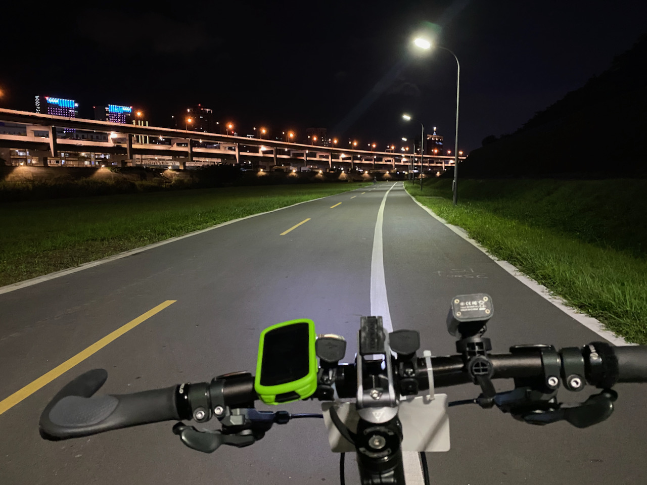
    The event started at 0:00 sharp. I saw the peloton unzipping itself and feeding through the starting gate. When it was my turn, it was more than a minute later. It was rather packed and we occupied a whole lane of the road. 

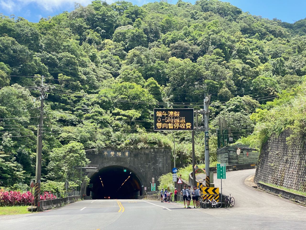
    We were supposed to follow the traffic lights. But there was really no good reason to stop for the light at those small junctions at a time like this. So, everyone just proceeded after making sure it was safe to go. At some important junctions, there were traffic controllers to guide the participants. 

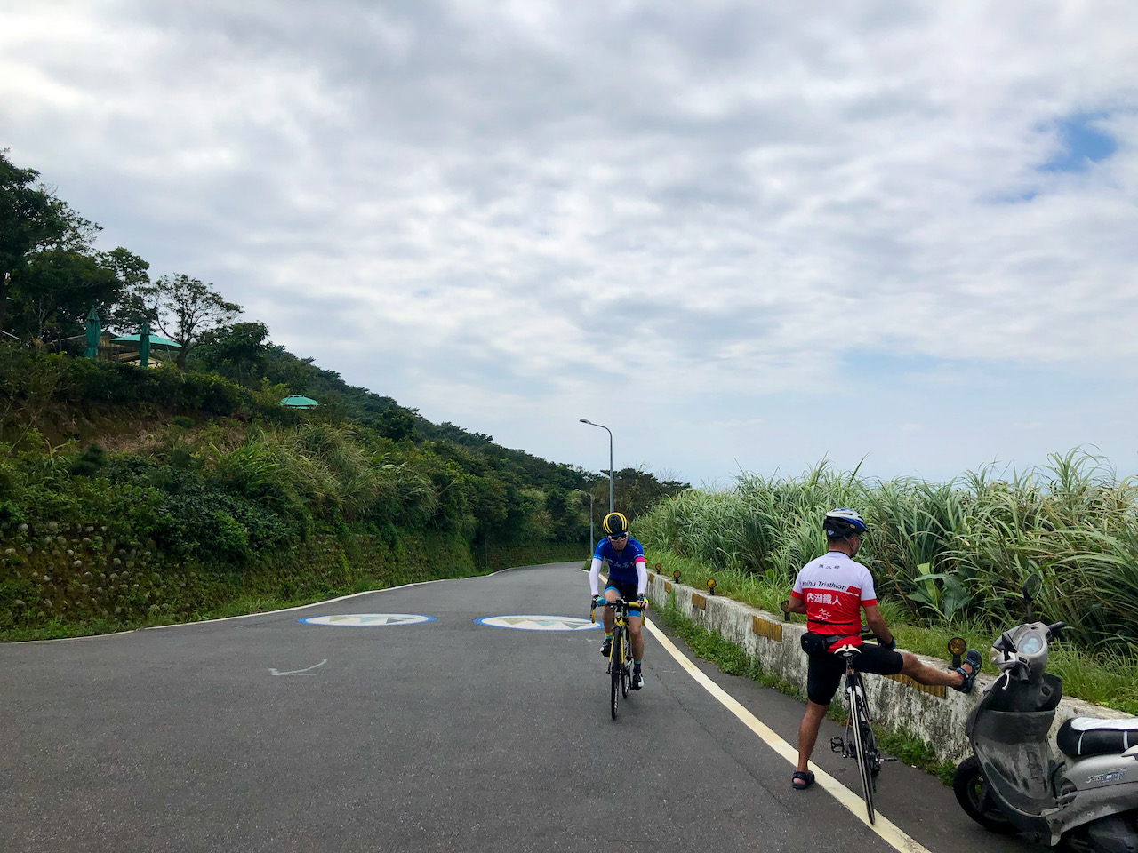
    After passing Guandu bridge (27km), the peloton stretched much thinner and I was able to cycle at my own pace. I stopped to buy a bottle of water at the first convenience store after Guandu bridge. A couple passing by were surprised to see so many bikes in the small hours and asked me where we were going. I proudly said “Eluanbi Lighthouse” and then moved on, probably leaving them even more surprised/confused. 

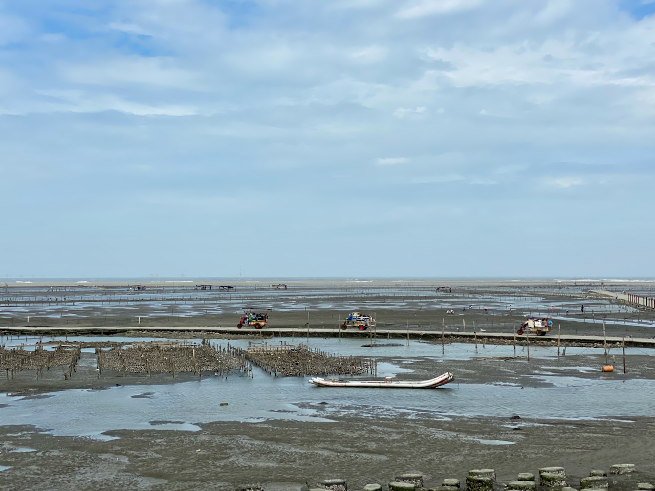
    The wind was not particularly favourable to us but it was a nice ride on the west coast. In less than 3 hours, I had covered 85km and reached my first supply stop at Yongan Fishing Harbour. There were big boxes of energy gels stacked up in the convenience store. I ate two onigiris and one pack of energy gels, maybe a bit too much and too quickly. My stomach gave me a warning nudge with a reflex, almost creating a reflux. OK ok. Next time, I would be gentler.

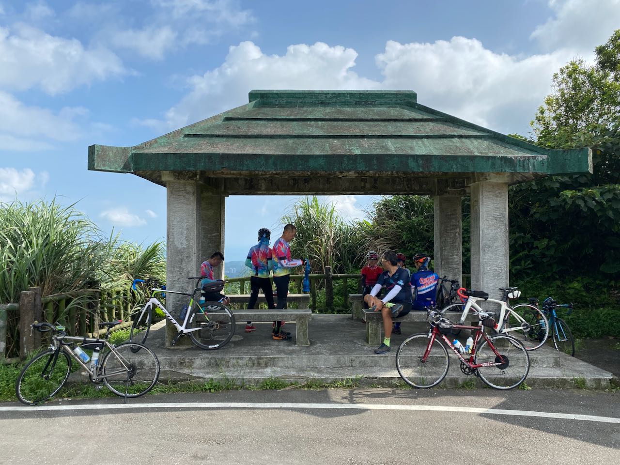
    After taking a break and refueled, I was feeling refreshed and energized. I found myself overtaking a fleet slowly. But I soon realized the leader was cycling at a very steady pace, so I decided to tag along for drafting. Their pace was just right for me! For courtesy, I did not follow them too closely, leaving more than one bike’s length in front of me. But it was such a wonderful 20km ride. At the first official checkpoint in Hsinchu (107km), they stopped and I carried on. Then I saw them in front of me again as they had overtaken me when I was looking for a toilet. How lucky I was! I tagged along with the group again.

    I made it to my 3rd supply stop (148km) in Baishatun at 5:20 a.m., more than 1.5 hours earlier than planned. The group carried on and I stopped for a break. To be honest, I had almost worn myself out trying to keep up with them. I checked my iPhone and found that the battery was still 70% full. I had put it into Low Power Mode and only used it to play some music. The energy level of my first light also looked good. The sun would be rising soon. I was glad that I had decided not to bring two power banks with me.

    I set a timer for 15 minutes and sat on the ground for a break with my eyes closed. Then, I was ready to go again.

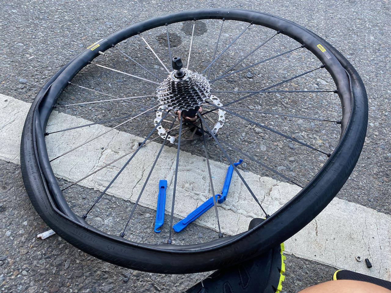
    A punctured tyre, and more

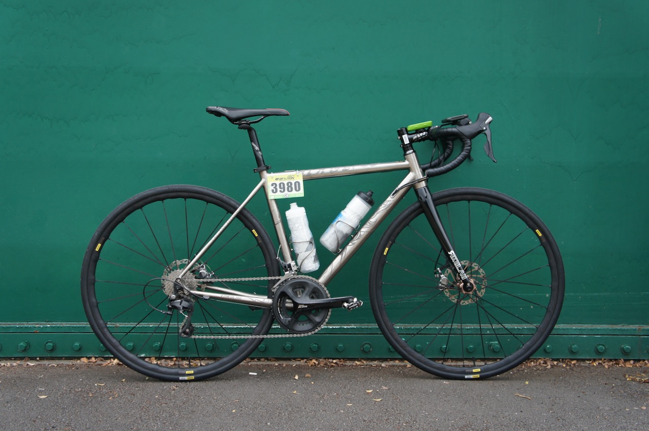
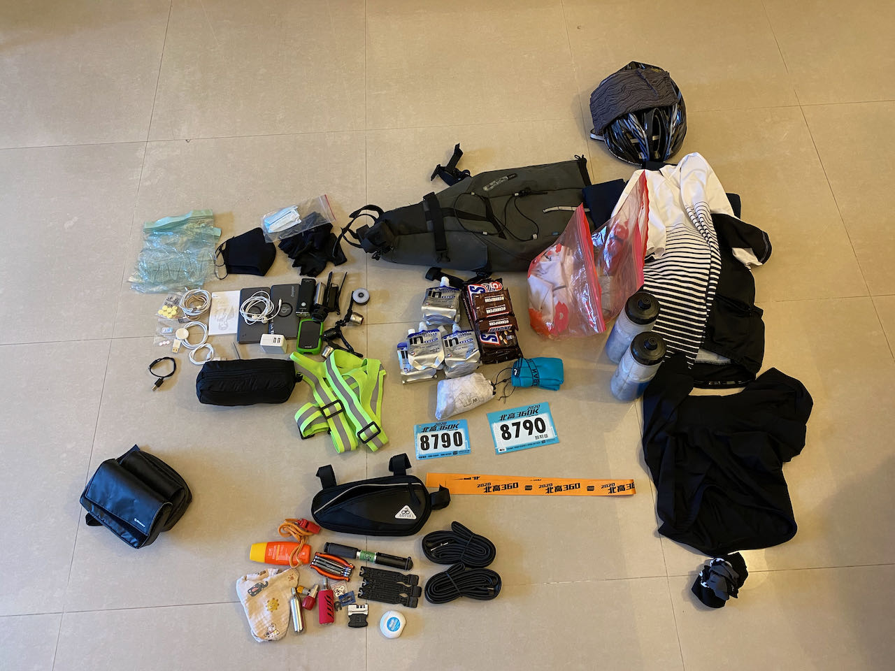
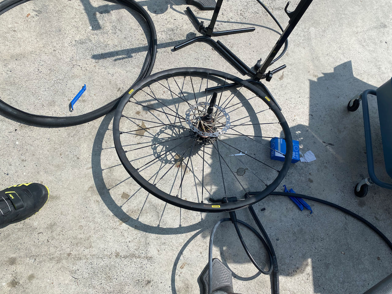
    At 6:15 a.m. I bumped into a pothole with very sharp edges. My rear wheel was flat. It must be a pinch cut. But no worries. I made good progress so far and I had a spare tire and a hand pump for occasions like this. Staying cool, I took a bite of some snacks and used 14 minutes to replace the tyre (I took pictures to keep time record). I did not want to spend too much time and effort on pumping. So, I started cycling after putting a decent amount of air into the tire. My average speed was well above the required 22 km/h for finishing the challenge in 24 hours and I wanted to keep it that way.

    So, I borrowed a floor pump from a supporting car to make sure the tyre pressure was high enough. It was only 60 PSI. In order to make sure the pinch flat wouldn’t happen again, I pumped it up to 100 PSI, 20 higher than what I usually use.

    As I entered the west fringe of Taichung city, there were lots of traffic lights with very long countdowns. My average speed was dropping to a low 23km/h. Then, the rear tire went flat again at 8:15 a.m. Shit! Did I do anything wrong when I fixed the tyre? I still had inner tube patches and I could fix a puncture. But if it was a pinch cut again, those wouldn’t work. Besides, it would add 15 minutes or more to patch the tyre. So I tried my luck by calling up a friend who was providing support to a participating team. He had told me he could help if needed as long as it did not interfere with his operation. He happened to be only 2km away from me and he would give me two more spare tyres. 

    We agreed to meet midway while he cycled towards me and I walked my bike towards him. Some truck driver saw me and offered to bring me to a nearby support station but I politely declined, believing I would be seeing my friend soon. But then we realized we were both heading in the wrong direction and away from each other! My rear tyre started to come off from the rim as it was rolling on the surface full of dirt. It got more and more difficult to push my bike forward. That’s when a man on a scooter with all kinds of bicycle supplies and tools saw me and stopped to ask about my problem. He was there to provide support to his friends. He gave me two inner tubes and ended up staying with me to fix the tyre. He refused to take any money from me. 

    It was a puncture that caused the flat. We found the sharp object and removed it from the tyre. It was pure bad luck, not that I had done it wrongly the previous time.

    Try to catch up, but…

    I had lost count of how much time it took us to fix this problem. I realised that my average speed had dropped to around 21km/h. I tried to make up for the time lost but my lower back got so stiff just like flying with economy class on a long haul flight. I needed to stop to take more breaks. It seldom happened to me when I was on this bike. 

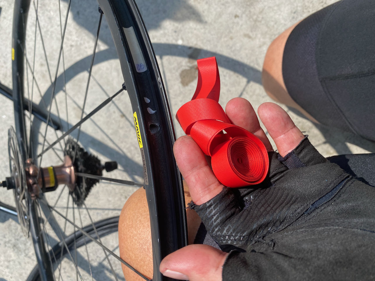
    I also found that my favourite energy gels were sold out in convenience stores. Only chocolates, cakes and breads were available. I stopped at a busy one for supplies. There were so many bikes that I had to lay mine down on the roadside. Just when I was ready to pick it up and continue my ride, I heard gas leaking. No way! It’s my bike again! The rear went leaking again after 45km.

    Well well well, no worries. The situation was far better than the previous time. I had two spare inner tubes (one from the man on scooter and one from my friend). Also there was a pop-up stall selling bike supplies and tools right beside the convenience store, from which I bought another inner tube because it was sold in a box. It gave me a bit more faith. The staff of that stall also let me use their floor pumps. Should it be necessary, I could even get new tyres from them. At this point, mine looked suspicious.

    I removed the inner tube and inspected it. The wheel was warm under the sun. The inner tube had a small hole facing the rim. It was neither a puncture nor a pinch. I concluded that it’s not my tyre that had caused the leaking. I decided to keep using it, partly as a proof of my reasoning capability and my sanity under this woeful situation. I was not defeated yet.

    From my past experience, when we have a hole like this, it means the rim tape is getting too old. But there was no rim stripe nor spoke hole on this wheel. I thought there must be something wrong with the rim surface and I had a rim stripe with me. So, I put it on the rim and installed the inner-tube-sold-in-box. I pumped it to slightly over 100psi. Worked just fine. 

     (When I told Chengnon about this afterwards, he said it was the tube that was defective.)

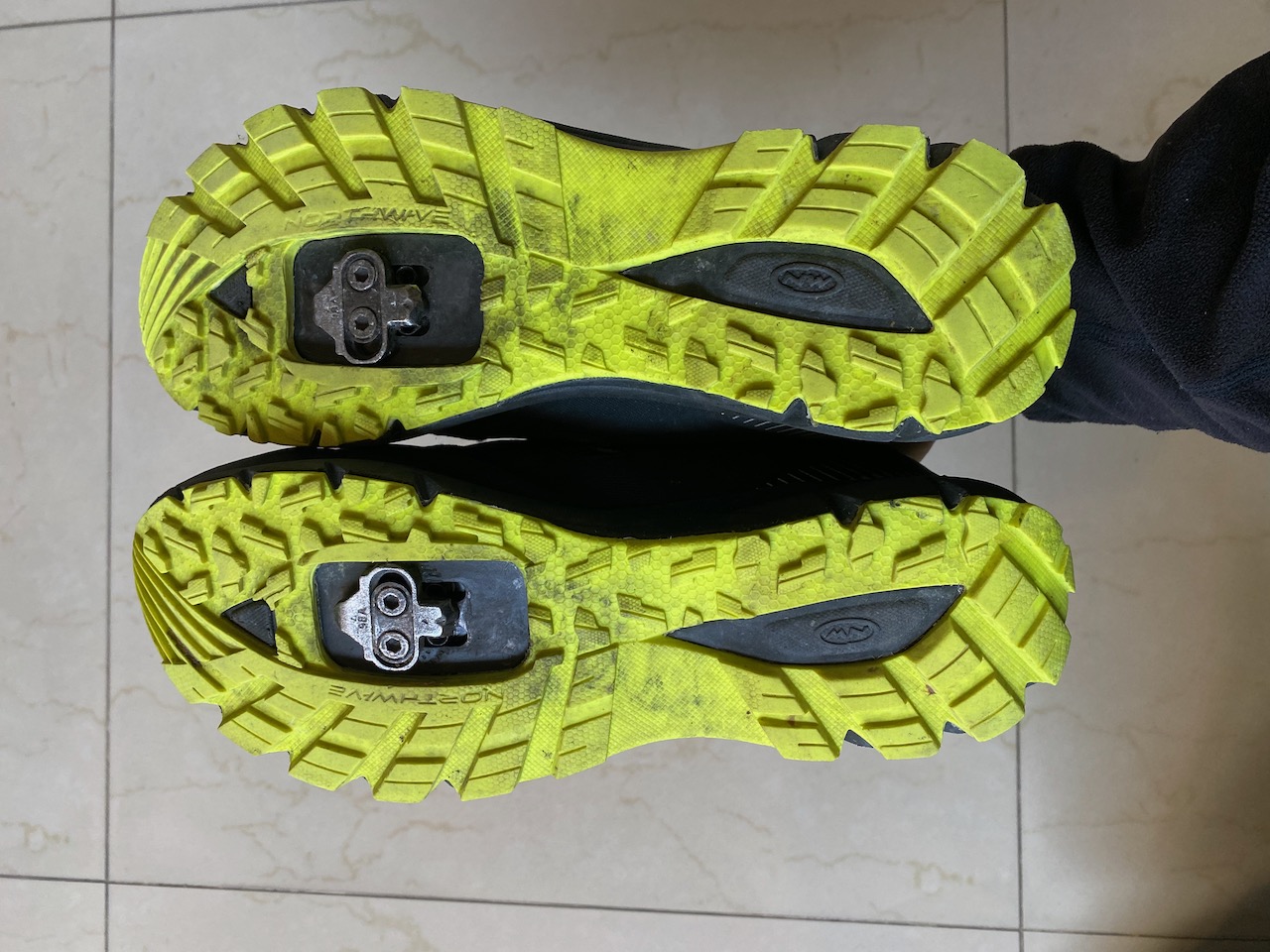
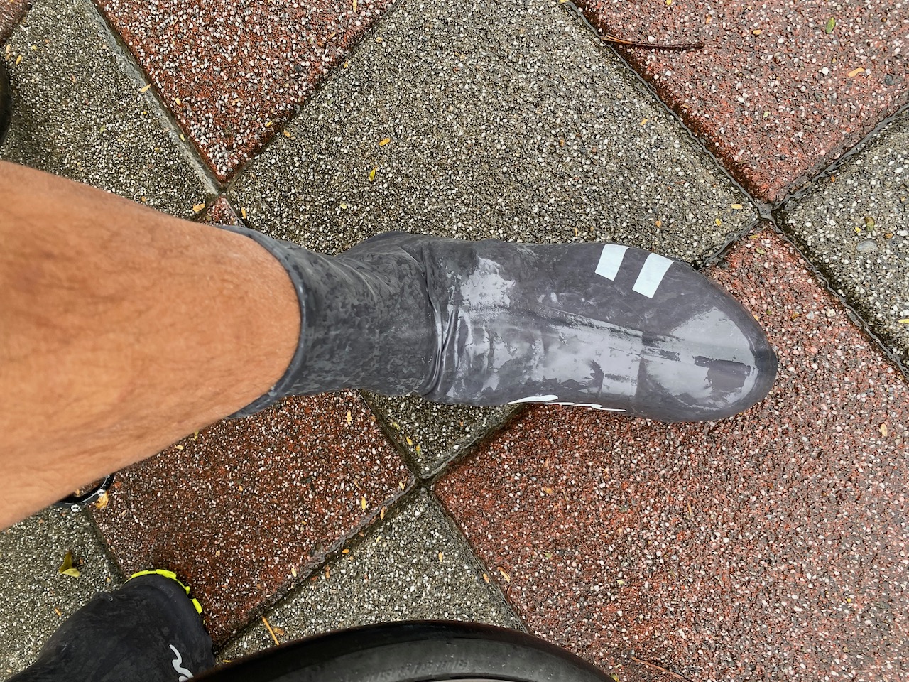
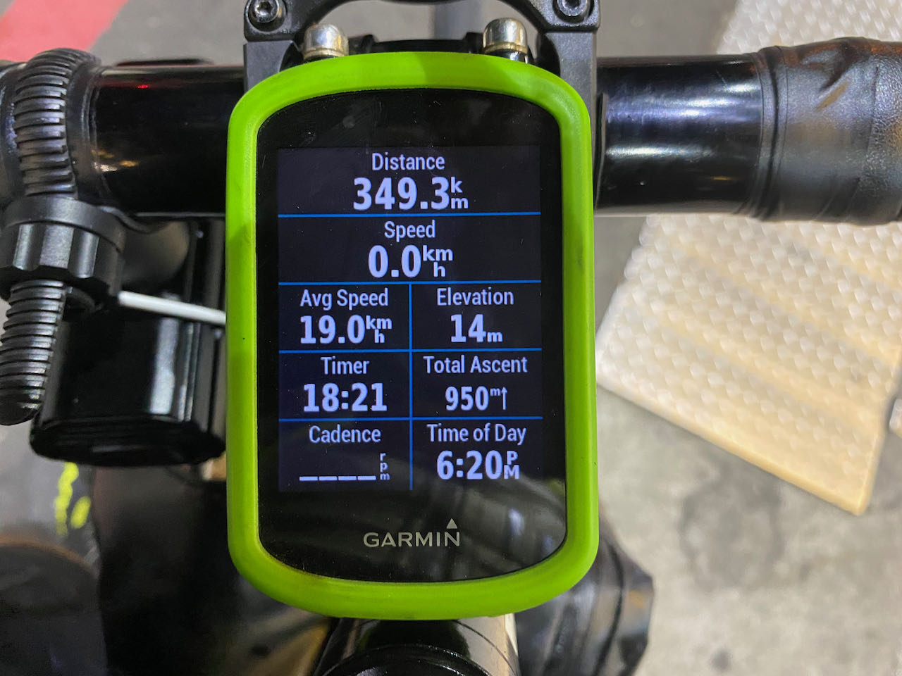
    When I was ready to go again, I checked my Garmin and found my average speed dropped to 19km/h, well below my target speed of 21.25km/h in order to reach Eluanbi Lighthouse by 0:00. My legs were still working fine although they felt weaker. My feet had swelled up but they were okay after I released the buckle to the extent that my feet could slip out from the shoes easily. I was glad I had bought a pair of oversized shoes. 

    Then, I realized I could ride at a speed of 30km/h more easily. There were dry leaves rolling alongside me on the road. Yes! The wind had changed. Now it was in my favour. My average speed climbed slowly to 19.4km/h. But the stiffness on my lower back had evolved into unbearable pain. I found myself putting more weight on my hands and my shoulders were tense. I had to stop more frequently to stretch. Ah… the tyre pressure was probably too high as it’s 25% higher than usual. It might have absorbed less shaking and rattling, which had been putting pressure on my spine since the first puncture. But I was hesitant to release some air because I did not have a gauge and I did not want any more flat tire.

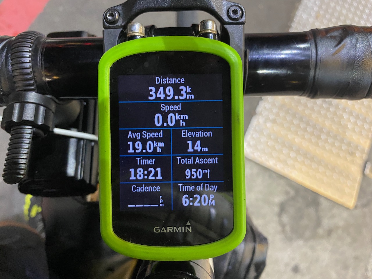
    I had covered 300km. It was clear that I wouldn’t be able to finish within 24 hours. A part of me missed my comfortable bed back home while the other part was trying to convince myself to keep going. The game was still on. I was making progress despite all those setbacks. It would soon be 400km and I would be counting down from the last 100km to reach the finish line. I took some painkillers for my lower back pain, though not quite helpful. I decided to treat myself to a longer break with some real food when I reached Tainan city. 

    Time to decide

    The route was flat, the road surface was nice and the wind was in my direction. I managed to overtake some other participants. My cadence sensor went offline and the music from my earphones stopped. When I reached Tainan city centre, it was totally dark and the effect of lack of sleep kicked in. Or perhaps the effect of the painkillers too. My mind started to go blank from time to time. I bought instant noodles and coffee at the first 7-Eleven I saw. And then I found my iPhone was off. The battery had drained much sooner than I expected. This was the last draw. Technically I did not need my iPhone to keep cycling. I had my Garmin for navigation. My first light was still showing no sign of low battery and the second light was untouched. There was still some juice in the powerbank. But my will power was hit hard by yet another unexpected situation. 

    I could still push myself forward. If I arrived at Eluanbi Lighthouse by 6:00 a.m. the next day, there would be a nice hotel room waiting for me.

    But then the pain on my lower back was getting excruciating. I would have to stop more frequently and rest longer. The time I stayed on the bike would get shorter. It would be harder and harder to estimate my arrival time. In case I arrived late, I was not quite sure where to collect the hotel room key. My backpack and bike bag would be shipped back to my home the next day. Without a bike bag, I would not be able to board the bus with my bike… More importantly, beyond Kaohsiung, there would be no escape route and I would have to keep going until I reached Eluanbi Lighthouse or turned around. I was feeling a little bit dizzy and sleepy already. The risk of falling off the bike was not nonexistent. If only I had subscribed to my friend’s supporting team! I could have supporting vehicles waiting for me and bringing me to the hotel in case I exhausted myself before reaching the finishing line.

    The Tainan Train station was 15km from me. It was still open. I could cycle there, drop my bike at the luggage room for shipping back to Taipei, then board the next train to Tainan HSR station for a 2 hour ride home. The next exit option would be Kaohsiung. But I wasn’t sure if I could make it there before 8:00 pm when the luggage room closed for the day. So, I decided to retire from the challenge in Tainan City. By 10:00 pm, I was home for a good shower and hugs with my wife and kids.

    As to the guy I chatted up at the starting line, I happened to have his sticker number in one of my photos. The record showed that he finished in 22 hours 26 minutes. Bravo!

    Self Evaluation:

    The main reason why I could not continue with the challenge is my lower back pain. Here are some factors I think may have contributed to the problem.

    Wrong mattress. My lower back, shoulders and neck would get stiff after sleeping on a soft mattress. This is what I found in that small hotel I had stayed. It may not be a major issue in other circumstances, but for a day with more than 20 hours’ ride on a bike, the issue is bound to be magnified. 

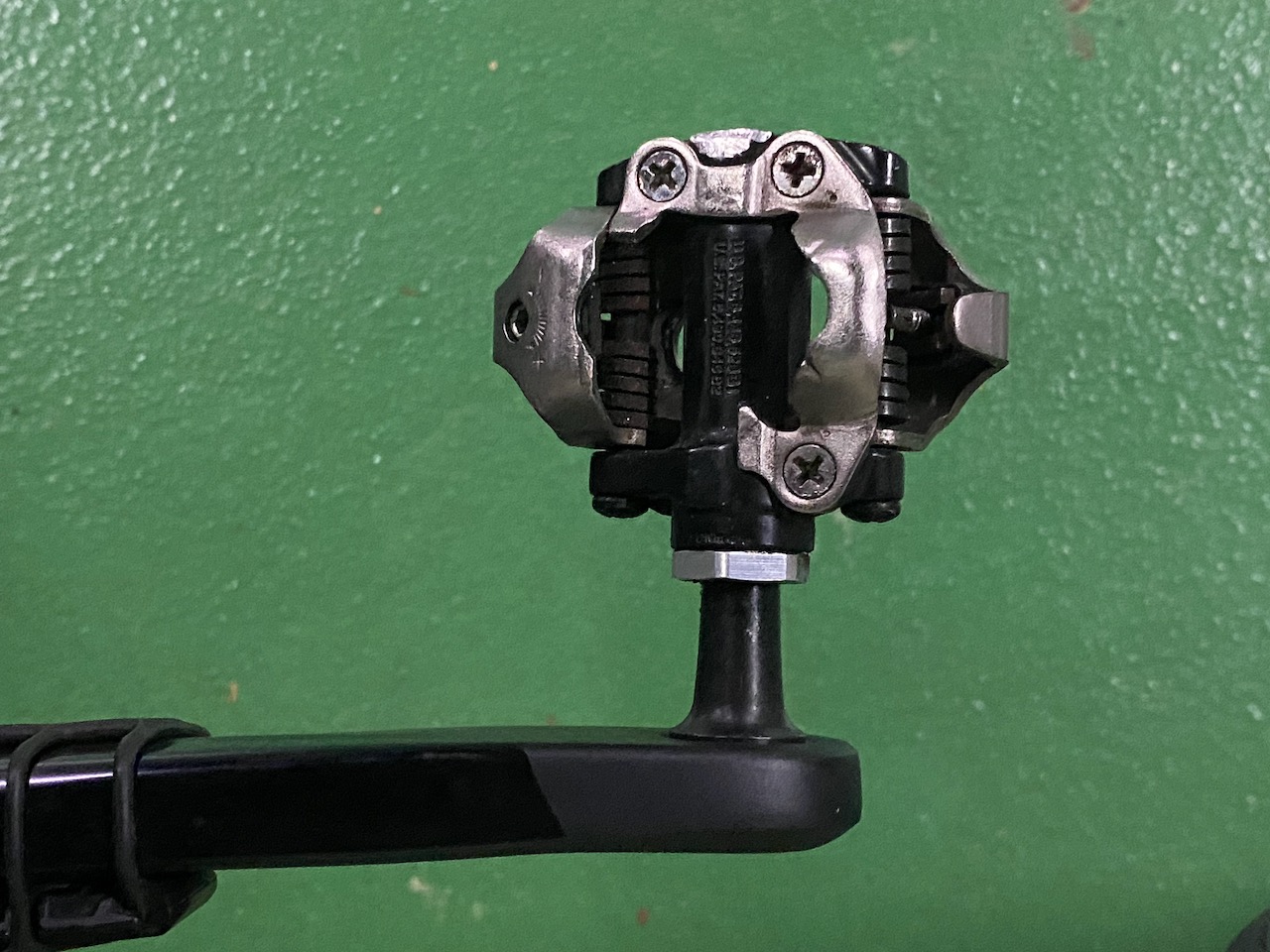
    Tyre pressure. I had increased my tyre pressure quite significantly since the first pinch flat. A tyre with high pressure will transfer more rattle and shaking from the road surface to my body, my spine particularly in the case of a rear tire. In fact, right before big events, one should not experiment with new settings, including positions of the cleats or saddle.

    Lack of long distance training. I finished the Taipei to Kaohsiung Challenge in 2020 without any issues like this time. But I was using an Audax Hercules back then, which was made for long distance cycling. This year I was doing it on a bike with more aggressive geometry. I should have done at least one long distance training and observed the reaction of my body. All those pains and discomfort can be avoided with proper posture. You can refer to this post from Sheldonbrown.com for more details.

    Ineffective painkillers. And I suspected that they had also contributed to my dizziness when I was reaching Tainan.. 

    Unfamiliar route. I had not prepared for the last 100km from Kaohsiung to Kenting. I thought it was just another 100km along the route. But it turned out that this had undermined my confidence and willpower quite significantly especially during stress events.

    Lack of food varieties. I was planning to sustain myself by drinking energy gels because it’s easy to swallow and digest, so that I could spend less time on eating and more time on cycling. But this proved to be harder and less fun than I thought. I regarded the breaks more like an obligation than a chance to relax, both for my mind and muscles. This had backfired. It’s a long challenge. We should reward our mind and body from time to time. The taste of real food would definitely boost morale, even if it’s just a bowl of instant noodle.

    Lack of support. Being an introvert, I did enjoy cycling alone. But for an event like this, the importance of mutual support from teammates and the aids from supporting cars could not be overlooked. I believe my unfortunate experience in the Execution Section has made this clear. 

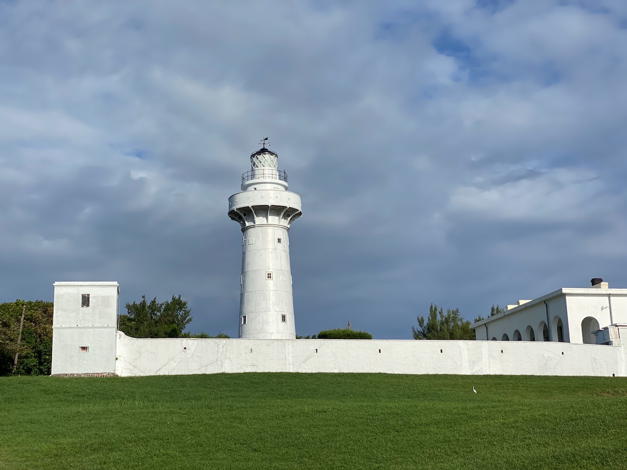
    So, that’s it. I hope you are going to enjoy the “One Day Two Towers” Challenge and finish it in time.

  • “Two Towers in One Day” Challenge – Useful Info and Experience Sharing (1)

    “Two Towers in One Day” Challenge – Useful Info and Experience Sharing (1)

    このブログ記事の翻訳を進行中です。もうすぐ完成しますので、後ほど再度ご確認ください。ご不便をおかけして申し訳ありません。現在は、こちらで提供されているGPXルートや地図などの情報を自由にご利用ください。

    The “Two Towers in One Day” Challenge 一日雙塔 is another popular cycling event in Taiwan held early November each year. In this event, participants need to start cycling from the northern tip of the island of Taiwan to its southern tip to cover a total of 520km within 28 hours. Two lighthouses, Fuguijiao Lighthouse and Eluanbi Lighthouse, mark the starting point and finishing point respectively, hence the name “Two Towers in One Day”.

    Those who would like to try a less challenging one can instead sign up for the “Taipei to Kaohsiung in One Day” Challenge 一日北高, which will be held on the same day and cover 360km in 20 hours.

    After completing the “Taipei to Kaohsiung in One Day” Challenge in 2020, I decided to take up the “Two Towers in One Day” Challenge in 2021. Unfortunately I could not make it to the finish line this time. In this post is some experience I would like to share. Please refer to this post for more information about Support, Rules and Administration.

    My Plan and Strategy

    28 hours is a very long stretch of time and I doubt I would be able to stay awake and keep cycling. So I had aimed to finish it in 24 hours. I believed I would be able to stay sharp and focused for that long if I had enough sleep beforehand. With this target in mind, I would need to achieve an overall average speed of 21.66km/h. To allow 4 hours for breaks, my average moving speed would need to be around 26km/h. This looked reasonable, given that there should be prevailing wind coming from the north east in the winter that would give us a push.

    I used to mistake the impact of lack of fuel as tiredness when my legs went soft after cycling for around 2 hours. Then I learned from my experience last year during the “Taipei to Kaohsiung” Challenge that our legs never get tired and all I need is fuel. As long as we keep fueling our muscles by taking in carbohydrates, our legs will keep pedalling. Along the route of the “Two Towers” Challenge, there are numerous convenience stores where we can find all kinds of carbohydrates, including my favourite energy gels. Their locations are marked on the GoogleMaps in the next section of this post. Since supplies are very easy to get, I decided not to join any teams nor hire any supporting vehicles.

    The Challenge starts at 00:00 Saturday (midnight). I took a day-off on Friday, booked a hotel around 2km away from the starting point with the hope to get as much sleep as possible right before the event. Participants could drop their night pack with the organizer at the starting point and it would be sent to the finishing line for collection when the participants arrive. The organizer could also help book a hotel room right next to the finish line if needed. This is what I had opted for. I could take a good rest when I finished. For the return trip, there are coaches bound for Kaohsiung HSR station. I could bag my bike, hop on one of the coaches and then take the HSR back to Taipei.

    Contingency Plan: In case I needed to retire early from the Challenge, there are numerous train stations along the route. Some train stations would take my bike and send it back to Taipei for me to collect later. I could then travel like an ordinary passenger (though with filthy cycling outfits). There are also some coach stops. The tricky part is between Kaohsiung and Kenting. The population is sparser further down south and there won’t be much public transportation available in between. 

    The Route

    The organizer suggests a route (shown in blue on Google Maps) but we are not obliged to use it. We just need to pass the four checkpoints and reach the destination within respective time limits. I had done some research and modified the route (shown in green on Google Maps) a little bit to avoid a climb (100 metres of elevation) at Houlong Township (後龍鎮) and the traffic lights in Budai Township (布袋鎮) and Kaohsiung. The segment in Taichung also has quite a few long traffic lights but I have yet to see any tips on how to bypass it.

    The checkpoints and those convenience stores close to the route are marked on this map for your easy reference.

    Equipments and Accessories

    Bike

    I used a Rikulau Master 325Ti with a 11-28T, 11-speed cassette and a compact chainring (50/34T). With a narrower range of teeth numbers (instead of 11-32/34T), the 11 steps between the gears are smaller, which is easier to get an optimal gear ratio for my tired muscles to work with approaching the end of the Challenge. 

    The frame is made of Titanium alloy with 3% of Aluminum and 2.5% of Vanadium, hence the name 325Ti. Although 325Ti is considered to be less stiff than a 64Ti (6% Aluminum and 4% Vanadium), I was surprised to find it much stiffer than I had expected on my first ride. It is so light and stiff that the 28-tooth cog is enough to handle all of the climbing I usually do. I have no problem climbing with my friends who use big cogs with 32 or 34 teeth on their cassettes. This bike has boosted my confidence.

    A short chat with Chengnon Hsu, co-founder of Rikulau, gave me a better idea about how they achieved such an efficient bike. The titanium tubes were shaped by hydroforming to make them structurally stiff, strong and lightweight. Instead of being built with a simple round top tube and down tube, the Master 325Ti was built with round hexagonal tubes swaged to match the size and shape of the head tube and the bottom bracket shell for broader structural support. 

    Lights

    Lights are vitally important. There are segments with no street lamps at all and there are about 18 hours in which we need to cycle in the dark. One of my friends lent me a powerful one with 1600 lumen. I did not need such a bright light but it comes with a big big battery, which proved to be a huge benefit. During the event, I only set it to half its brightness and it went on for 6 straight hours, showing no signs of exhaustion. It could probably last through the second night if I had continued with the Challenge. 

    Pedals

    I used Shimano SPD pedals (generally used on mountain bikes) because the cleats for these pedals are recessed into the shoe soles so that I can walk in them normally. I did not want to pack an extra pair of shoes for the return trip. Also, in case I could not ride on my bike, I could still walk.

    The route is rather straightforward but it would be a waste of time and effort if I miss a turn. So I loaded the route into my Garmin Edge 530. Smartphones could do the job but they consume much more power and are vulnerable to rain and rattles.

    Water Proofing

    It is likely to rain in winter in northern Taiwan. I have no problem cycling in the rain except I really hate it when my shoes are soaked. So I have got these velo Toze cycling shoe covers. They remind me of those latex swimming caps. It is really difficult to put them on but totally worth the trouble. I tested in the rain for more than an hour. My socks and shoes were as dry as they should be. 

    Electronic devices were sealed in water tight bags in case it rained.

    Repair Kits

    I packed a spare inner tube, tyre patches, a tyre boot, a hand pump, a chain tool and a quick link, a multi-tool, a rim stripe. I did not pack CO2 canisters and a second inner tube because the chance of getting flat tires was not high. One insurance policy should be enough (which proved to be not quite enough).

    Training

    In the few weeks before the event, I cycled more than 35 km every morning on weekdays. I had also done some long distance training when I was preparing for the “Taipei to Kaohsiung” Challenge (Ahem… last year). I believe it should be enough for me to complete the challenge. 

  • Cycling Route: Buddha’s Palm – Climb Training

    Cycling Route: Buddha’s Palm – Climb Training

    このブログ記事の翻訳を進行中です。もうすぐ完成しますので、後ほど再度ご確認ください。ご不便をおかけして申し訳ありません。現在は、こちらで提供されているGPXルートや地図などの情報を自由にご利用ください。

    The cycling route known as “Buddha’s Palm” 如來神掌 is one of the most challenging route in Taipei and New Taipei. It consists of a total distance of 135km and an accumulated elevation gain of 3,130 metres. Those who have completed the route will find themselves climbing over the Yangmingshan twice and drawing a palm in their GPS tracking apps. In order to draw a finger, you need to climb from the north coast at 280m to the hillsides of Yangmingshan at 500m. In total, there are 6 climbs to complete. The downloadable GPX file of this cycling route is at the end of this post. 

    Recently we had a customer from Europe, a Taiwan KOM finisher, who hired a bike from us just to do this route. I did some research to provide him more information to help him achieve his goal. Might as well share it here with all of you.

    “Start as early as possible, like 5:00 a.m.” is the first advice I got from a fellow cyclist who completed this route last November. It is a long route that involves a lot of climbing and descending. We should try to finish it when we still have daylight. Descending in the dark is dangerous especially when we are tired on the last leg. Some would even start at 3:00 a.m. or 4:00 a.m. for the long climb at the very beginning and do the first descent when the sun comes out. This is particularly applicable in winter as we have only around 10.5 hours of daylight with the sun setting around 17:15.

    “Wind did not seem to be an issue. But there are some segments that could be very very steep, so be careful when descending”, my fellow cyclist gave me this advice when I was trying to figure out if we should do it clockwise or anticlockwise by taking the wind and the terrain into consideration. She recommended doing it anticlockwise. Though wind was not an important parameter,  the prevailing wind in winter coming from the north-east did make it easier in the coastal open area when doing it anticlockwise. And in summer, the prevailing wind is not strong.

    For supplies, except for the middle finger, you can find at least one convenience store (7-eleven, Family Mart or Hilife) before each climb on the forearm and the fingertips. In those convenience stores, you can find various kinds of drinks, energy gels, chocolates, bananas and even some simple microwave hot meals. At the middle fingertip, there are some small grocery stores around for you to buy water.

    Toilets can be found in most of the convenience stores but it was not open to the public due to the Coved-19 alert level 3 when my customer was to take on this challenge. Clean public toilets can be found easily in those tourist spots like LengShuiKeng 冷水坑, Fuguijiao (or Cape Fugui) 富貴角 and the beginning of the GPS route available in this post. Some petrol stations will open their toilets to the public too.

    Those spots for supplies and toilets are marked on GoogleMaps for your easy reference.

    For contingency, we can use Provincial Highway No. 2 to get to Tamsui. You may also board the MRT at Hongshulin Station if the time is right. Please refer to this post for more details. Some taxis or Ubers may also be willing to take you with your bike.

    Good luck and all the best if you are planning to do the Buddah’s Palm. 

    Route:

    NOTE: To use the routes, please install the App on your smartphone. The App will launch and load the route automatically after you tap the above links on your smartphone’s browser. For Garmin Connect, you can then use the APP to send the route to your garmin device. If your Garmin device is not purchased in Taiwan, you will also need make sure you have the Taiwan map on your device. Here is our blog post on this topic.

  • Cycling Route: Guanyinshan – Climb Training

    Cycling Route: Guanyinshan – Climb Training

    このブログ記事の翻訳を進行中です。もうすぐ完成しますので、後ほど再度ご確認ください。ご不便をおかけして申し訳ありません。現在は、こちらで提供されているGPXルートや地図などの情報を自由にご利用ください。

    Guanyinshan 觀音山 is another popular cycling destination for a quick climbing exercise at the north-west side of New Taipei City, right next to the the left bank of Tamsui River. It makes it easily accessible via the Riverside Bikeways. I went there for a half day cycling exercise with my friend Tom on a Sunday in December 2020. We met in the Shilin District 士林區 and used the Guandu Bridge 關渡橋 to get to the left bank. So, the route I plotted starts and ends at the bridge. There is a convenience store nearby on Provincial Highway No. 15 for supplies. The downloadable GPX file of this cycling route is at the end of this post. 

    The Guandu Bridge has a separated bike lane connecting the bikeways on the right bank to the left one. We cycled on the Bali Bikeway after leaving the bridge. Then, Tom led me into a small lane that merges with Provincial Highway No. 15. And soon we took a branch, TP50, on our left hand side. There were vehicles rushing at high speed. Be aware.

    The climbing started immediately on TP50. I managed to keep up with Tom and even chatted some with him. From my research the night before, I’d learned that this route could include Zhongzhi Road 中直路, which is notorious for its steepness. The altitude gains 224 metres in 2.59km, meaning an average gradient of 8.65%. There is one 600-metre segment with a gradient of 19%, so steep that a gate was built to stop vehicles over 2.5 metres from using that road. Tom said he had descended on this road before. It’s no fun at all. It isn’t my cup of tea, either going up or down!

    Fortunately Tom did not lead me onto this road. We switched to TP53 for the peak and it became steeper. Tom had long disappeared into the turns ahead. I had to take a short break. After that I struggled to clip in my clipless pedal when trying to start again. The logical procedure would be to point the bike downward when starting so that the bike would move without pedalling. That way I could balance the bike easily while I was trying to clip in my other foot. But I did not want to lose an inch of altitude in that process. So I tried to start by holding on something on the roadside to clip in both feet. It didn’t work. A fellow cyclist passing by had seen my failed attempt. He told me the way I had tried to avoid doing was possibly the best and only way. I tried and voila! I was back on the pedal with both feet. All I needed to do was ease the brakes slightly to let the bike move a little. It’s so much easier to clip back in when your legs are not responsible for powering the bike. Actually the U-turn I made was so natural that I didn’t even need to think. It was a tight, swift one and I might only just go down less than a foot.

    Tom waited for me at the top at 365 metres where there is a tourist information centre and a nice cafe. It was quite busy with some hikers who drove up in their cars to climb the 1.5km of stairways for a viewing platform at 616 metres. Guanyinshan is a lonely small hill that offers a 360 degree view of the city. It’s definitely worth the effort to get to the viewing platform if you can lock your bike safely.

    Tom and I treated ourselves to coffee and cakes before starting our descent back to the Riverside Bikeways on TP55 before noon. It is a nice route for a half day ride.

    Route:

    NOTE: To use the routes, please install the App on your smartphone. The App will launch and load the route automatically after you tap the above links on your smartphone’s browser. For Garmin Connect, you can then use the APP to send the route to your garmin device. If your Garmin device is not purchased in Taiwan, you will also need make sure you have the Taiwan map on your device. Here is our blog post on this topic.

  • “Taipei to Kaohsiung in One Day” Challenge (2)

    “Taipei to Kaohsiung in One Day” Challenge (2)

    このブログ記事の翻訳を進行中です。もうすぐ完成しますので、後ほど再度ご確認ください。ご不便をおかけして申し訳ありません。現在は、こちらで提供されているGPXルートや地図などの情報を自由にご利用ください。

    Execution

    In order to make sure I have a quiet place to sleep in the afternoon before the event, and also to welcome me at the finish line, Lois brought the kids to a resort in Kaohsiung in the morning of the event. I was left alone at home to prepare for the event. There had been a typhoon near the southern part of Taiwan but it left just in time. The event went on as planned. I had a big lunch to load up more calories before putting myself to sleep. Perfect! So I thought.

    Unfortunately, I was met with an unexpected issue. I woke up in the evening with a weird feeling in my stomach. My digestive tract must have shut down when I was asleep. It didn’t get a chance to deal with the food I ate and now the food was frozen up inside! Oh… I should not have eaten such a big meal before sleeping.

    I cycled 35km to the starting point from home. As I was approaching the gathering point, the convenience stores were getting more crowded. The weather was so fine and my stomach started to wake up. I stopped at a convenience store and ate microwave noodles to encourage my bowel movement. But instead I made it worse. My stomach froze up again. Well, anyway, now I had a full load of food inside my digestive tract. I wouldn’t need to stop to eat. 

    There were coaches and vans unloading bikes everywhere near the gathering point. Some of the participants were actually from Kaohsiung or the southern part of the island. They had already spent hours in the coaches just to get there. It must be harder for them as they had a much longer day on the road. 

    When it was about time, I pushed my bike to the starting line. There was already a long queue building up, occupying a traffic lane. But the crowd was quiet and orderly. There was no need to fight for any specific positions as individuals’ records would be taken when we passed the gates.

    The race started finally! The whole fleet moved forward slowly feeding into the starting gate. When it’s my turn to go through the gate, I heard through the PA system lots of beeping sounds and the organiser’s repeated announcements about the latest weather conditions. Then we were free to set our own pace as the road before us became wider. It was fun to have so many people doing something together. I took it easy, kept my effort constant and managed to keep up with my friends at the first stop, Yongan Fishing Harbour, at 50km. I had a full load of energy bars and energy gels in my bags but I did not eat much because I wanted to take this opportunity to burn some fat. And in any case, my digestive tract had not been moving.  
    At 100km, the 2nd stop Baishatun Gontian Temple, I could hardly keep up with my friends. I arrived just when they had taken a good rest and were about to leave. My average speed was 23km/hour. It was acceptable. But I was on my own from that moment onward.

    My energy level started to plunge and the typhoon, as it was heading west leaving the island, had driven the air to the opposite direction, making the wind blow against us on the southern part of the island. It took me longer and longer to reach my target speed again after each pause in front of the traffic lights. When I was about to cross a long bridge, a fellow cyclist, while catching up from behind, shouted to me telling me to follow tight with the group ahead to save some effort. But it was too late. The wind had nipped me away from the group. I had to press on against the wind all by myself on the bridge.

    Here is the link for the latest forecast

    Then I tried to follow those groups in double pace line. They were moving steadily ahead like a locomotive and radiating a spirit of determination. I could save myself some energy from the wind by joining them. But they were moving at a much faster pace than I could manage so I kept dropping off. I tucked myself in the wind shadows of some solo riders who were cycling slightly faster than I did. The benefit and help was noticeable. The resistance from my pedals was lower so that I could switch my gear one stop higher. I could pedal in a lower cadence with less effort. I kept scanning for other riders with speeds that suit me better, rather like a parasite jumping from rider to rider. But I felt no shame at all. I had seen others using their support vans to push away the wind for them at the front. After the challenge, I learned that not only the riders at the back could save energy as high as 30%, the riders being followed could also save 10% of power. I am glad I reciprocated their favor. 

    It began to rain. I did not bother to put on my rain jacket. It’s good to take away some heat from me. A driver in a support van at the traffic light rolled down his window and offered to give me a disposable poncho. 

    A friend of mine was running a supply stall as a way to promote their cycling App, Velodash. She invited me to get some food or drink when I was there. I asked nicely for a banana from a group of people sitting next to their banner. They enthusiastically offered everything they had. Then I realized I had mistaken them as the staff of my friend. They were actually just there to support their own friends. But they were so ready to help, like most people in Taiwan, who are always kind and generous. 

    I was not worried about my progress as my meter showed an average speed well above 23km/h. Then at around 15:00, I texted Lois to tell her about my progress. I had completed 263km already and with 97km more to go. It’s down to a two-digit figure now! But wait a minute! That meant my average speed for the 263km was only 17.3km/h instead of 23km/h! If I were to finish the whole trip within 20 hours, my average speed had to be well above 18km/h. I was misled by my meter. It was the Average Moving Speed. The timer would stop when I was not moving! 

    Just when I realized that I had to speed up, something magical happened: bowel movements. I discarded some significant weight of burden in the toilet and my body was more willing to take in energy bars and energy gels! I started to follow the experienced riders’ advice: eat before feeling powerless, at least once an hour.  

    I had packed lots of Snickers because of their high energy concentration of weight and volume. Each bar has 220kcal of energy, weighing only 47 grams. In case all the food was sold out or there were long queues in the convenience stores, I would still have enough kcal available with me. I could tear open the bag and eat it while I was cycling. Though it has to go down with lots of water, drinking water is easier to get. These are the upsides I found during the training sessions. But there are downsides. I almost choked on it when I was in a rush to finish it in front of a traffic light. And there are 10 grams of fats, corresponding to 90kcal, in each bar. I have a copious amount of fat in my body. If I wanted to burn my own fats, I should just eat pure carbohydrates, which are also essential to boost muscle power output. 

    There was no shortage of food as I was told by one of my friends who had participated in this event years ago. The convenience stores along the route are getting smarter. They knew that there would be lots of cyclists looking for supplies during the event. So they would load up much more food and energy gels in their shelves and storage. The only thing in short supply is toilets. The queue for toilets in the gas stations and temples were always shorter. They were very generous in letting the participants use their toilets.

    To my surprise, my legs were working afresh after I adopted this energy intake strategy. My speed was picking up and my legs never felt tired. Actually, they had not been tired the whole time. I had mistaken the feeling of lack of fuel as tiredness. It got dark but the rain stopped. I was cruising powerfully. No more wind shadow chasing. Instead, I was aiming at overtaking the others. I had the idea of taking a short break but shook it off my head. I knew there would be many traffic lights inside the Kaohsiung city before I reached the finishing line. I did not want to risk having the finish gate closed in front of Lois and my kids. 

    Finally, I made it to the finishing line at 19:50, 10 minutes before the cut off time of 20:00. 

    Along the way, I saw quite a number of bikes pulling over upside down, probably with flat tires. Lucky me! I had puncture resistant tyres. If there were any flat tyres, I probably would not make it in time. My Apple watch showed that my active calorie burned that day was 8319 CAL. I burned at least 415CAL per hour. So, It’s really important to keep eating to refuel the body.

    After finishing the challenge, my friends took the HSR back to Taipei right away. I went to the resort with my family for a good night’s sleep and a family day in Kaohsiung before returning to Taipei. For those who still want to cycle after finishing the challenge, how about heading to the east coast and completing the around the island? You have done half way anyway.

    Routes:

    This is a suggested route by the organizer. Participants can plot their own routes as long as they passed the gates/checkpoints.

    NOTE: To use the routes, please install the App on your smartphone. The App will launch and load the route automatically after you tap the above links on your smartphone’s browser. For Garmin Connect, you can then use the APP to send the route to your garmin device. If your Garmin device is not purchased in Taiwan, you will also need make sure you have the Taiwan map on your device. Here is our blog post on this topic.

  • “Taipei to Kaohsiung in One Day” Challenge (1)

    “Taipei to Kaohsiung in One Day” Challenge (1)

    このブログ記事の翻訳を進行中です。もうすぐ完成しますので、後ほど再度ご確認ください。ご不便をおかけして申し訳ありません。現在は、こちらで提供されているGPXルートや地図などの情報を自由にご利用ください。

    The “Taipei to Kaohsiung in One Day” Challenge 一日北高 is one of the most popular cycling events in Taiwan, organised by Taiwan Bike Association 台灣自行車協會 and held every November. In order to be awarded the certificate of completion, participants need to cycle from Taipei to Kaohsiung along the west coast within 20 hours. The total distance is around 360 km. There is actually another more advanced challenge held at the same time and along the same route, the “Two Towers in One Day” Challenge 一日雙塔,  which starts at the island’s northernmost lighthouse Fuguijiao Lighthouse and ends at the southernmost lighthouse Eluanbi Lighthouse, making it a 520 km route instead. To get the certificate of completion, you have to complete the route within 28 hours. These two Challenges are so popular that on average there are more than 3,000 participants signing up for the events every year. I was one of them in 2020. It was such a wonderful experience! I have learned a lot and I would like to share with you in this post.

    Rules and Administration

    Participants can usually sign up and pay for the event online from 1 January to 30 June via the organizer’s website. Participant’s pack will be distributed 2 weeks before the event commences. A sticker with an IC chip will need to be stuck onto the helmet for the sensors at the starting point and finish line to mark your time. There are also 3 gates/checkpoints en route which the participants will have to pass by a certain time. As the roads won’t be closed for the event, participants will need to follow traffic rules like other normal road users. But there will be voluntary helpers stationed at important junctions to direct traffic.  A suggested route in GPS format is also available for download. 

    Supports

    The organiser provides essential support only, which includes transferring a small backpack for each participant from the starting point to the finishing point. No food nor drinks are served at checkpoints so you will have to prepare for your own. In case of emergency, participants can reach out to an emergency hotline for help. But everyone is responsible for arranging their own transportation home.

    The organizer recommends participating in groups so that it will become more affordable to hire support vehicles to provide services like supplies, repair and maintenance, luggage transportation, charging of phones and navigation devices, and the return trip home.

    But for a free soul like me, I prefer doing it at my own pace. I can get my own supplies from the convenience stores and small shops in the towns along the route. I am also able to fix any small issues with my bike if needed.

    Bike 

    Bikes used in this event were predominantly road bikes but there were also folding bikes like Bromptons. I think as long as your bike is comfortable for long rides, properly fitted and has enough gear ratio, it would be fine. 

    For me, I picked an Audax Hercules, a flat bar road bike from Rikulau specifically designed for long distance cycling. It is one of the most popular models in our rental fleet for multi-day rides. I could ride in a more relaxed posture on this bike for the long journey. And I wouldn’t need a drop bar for the benefit of aerodynamics as there would be prevailing winds from the north east to give me a push. 

    I supposed weight is not that important for this event as the route is mostly flat. Therefore I had packed everything I needed on the bike. 

    Accessories

    Lights were paramount. The event started at midnight and when we arrived at Kaohsiung, it would be dark again. We would need to cycle in the dark for more than 10 hours. The roads on the west coast are not well lit. Potholes and stones can ruin your bike or throw you off balance if you ride over them unexpectedly in the dark. I have a friend who crashed because of a small piece of stone when she was doing night training on that route. A big bright front light can provide you with better vision and help you go faster and safer. For safety’s sake, participants of the event are also required to wear reflective stripe vest when it’s dark.

    November is the wet season so you should prepare to cycle in the rain. Your spare clothes and electronic devices should be kept in watertight bags.

    My other advice is to load up your Easy Card for quicker transactions in the convenience stores. You may also keep some small change in hand so that you can buy water from those betel nut booths if needed. They can be found in the middle of nowhere and they have long opening hours, too.

    Training

    My goal was just to finish it within the required time. I didn’t think I needed any extra training as I had been cycling regularly and would cycle once or twice a month for routes more than 70km with elevation gain of 800 metres or so. The route of this challenge is rather flat with a short climb of 100 metres elevation gain. It shouldn’t be too difficult. Nonetheless, I did do 3 training rides on this route with my friends to see how my body would react to long rides. I had cycled from Taipei to Lukang (180km) twice, the first one during daytime to familiarize myself with the route and the second one at night just to simulate what I would need to do in the event. Then I did the second half from Taichung to Kaohsiung (200km) just to find out what to expect from the route.

    I was totally fine during those training rides except that my forefeet hurt a little bit after pedalling for numerous times. I expected that it should be easier in the event with the help of the wind in November. However, the full effect of cycling 360 km in one go was yet to be discovered. 

    After these three training sessions, I started to formulate a strategy. If my average speed was 25km/h, I would be able to cover 360km in 14.4 hours. I would then have 5.6 hours (20 – 14.4) for breaks and meals, which seemed to be quite sufficient. Even if I did it at a slower pace like 22km/h, I would still be able to cover the whole route in 16.4 hours with 3.6 hours to spare. So, I just needed to keep my speed well above 25km/h. And if It’s too hard for some parts, 22km/h was also good enough. Just take it easy lest I drive myself too hard and get hurt, this was what I had believed at the time. I would also need to keep myself awake for 20 hours. My strategy was to take a day off right before the event. I would start sleeping after lunch and then get up at 21:00 to start going to the starting point. For my friends, they planned to do it as fast as they could the first half when they still had the tail wind and then see what would happen.

  • Cycling Route: Fengzhongjian – Climb Training

    Cycling Route: Fengzhongjian – Climb Training

    このブログ記事の翻訳を進行中です。もうすぐ完成しますので、後ほど再度ご確認ください。ご不便をおかけして申し訳ありません。現在は、こちらで提供されているGPXルートや地図などの情報を自由にご利用ください。

    Fengzhongjian 風中劍 is a 24km cycling route linking up a numbers of roads sprawling across Shilin District 士林區 and Neihu District 內湖區 of Taipei City. It comes with three peaks at 160m, 321m and 600m respectively, and therefore ideal for climb training. The downloadable GPX file of this cycling route is at the end of this post. 

    Its usual starting point as set in this post, Meiti Evacuation Gate, is less than 8km from most parts within the city and easily accessible via the Riverside Bikeways, which also helps make the route popular among Taipei cyclists. After each climb, you can decide whether to keep going or not, subject to your own preference, capability, or time constraint etc. The name of this route, Feng Zhong Jian, is coined by the local cycling communities by taking the first character out of the names of the major roads and locations (Fengguizui, Zhongshe Road, Jiannan Road) that make up this route. The coinage ends up with a hint of grandeur, carrying the meaning “Sword in the Wind” in English.

    Meiti Evacuation Gate is one of the access points to the Riverside Bikeways in Taipei. I can’t emphasize enough how enjoyable these bikeways are with their motor vehicle free and traffic light free paths, tranquilising views offered by the surrounding rivers and grasslands, and their vast coverage. You may refer to this post to find the access point closest to your location and have a nice warm up before the climb. Then the GPS links available at the end of this post will guide you through the route from Meiti Evacuation Gate.

    Jiannan Road 劍南路

    The first climb you would soon encounter after leaving Meiti Evacuation Gate is Jiannan Road. It is short with little elevation gain. The climb from the southern side is steeper than from the northern side. An elevation gain of 145m in 2.25km means you have an average gradient of 6.4%. Traffic is not busy on this road. Besides some fellow cyclists, you may also meet hikers occasionally. When you see the sign of Wugang Barrack 武山營區, you would have finished half the climb. When you reach the top, there will be a simple shelter for you to take a break.

    After that, head north and descend to Zhishan Road 至善路. On this side of the hill the road surface could sometimes be wet as water overflows from the drainage during wet season or after days of rain. There is also a sharp narrow turn. So, take it easy when you do it the first time. 

    When you reach Zhishan Road, you are at an elevation of 50m. Turn right for Zhongshe Road for the next climb.

    Zhongshe Road 中社路

    An elevation gain of 250m in 3.9km makes an average gradient of 6.2%. It is a cul-de-sac leading only to the residents up the hill. There are buses and cars occasionally. But it is totally fine when climbing because the road is wide with a shoulder that serves as a bike lane. At the top, there is a trail for hikers and a portable toilet. 

    Descending on Zhongshe Road is fun because there are several wide hairpin turns. But be careful with the cars and buses as we will use more road surface for turns and some cars may try to overtake bikes.

    Back to Zhishan Road, it’s time to head for the last climb.

    Fengguizui 風櫃嘴

    Shuangxi Industry Road 雙溪產業道路 and Wanxi Industry Road 萬溪產業道路 make up the climbing route to Fengguizui Lookout. An elevation gain of 412m in 6.4km makes an average gradient of 6.4% again. Although this climb is longer with more elevation gain, I found it the most enjoyable and it is one of the most popular cycling routes in Taipei.

    When you reach the top, the GPX route provided here will bring you back to Zhishan Road and the Riverside Bikeways via the National Palace Museum, using the same route that you have just climbed. Zhishan Road will reward you with a mild long descent but please be aware of the thick rumble strips, which could shake your hands off from your handlebars. So hold them tight.

    Another post for Fengguizui here

    Fengzhongjian is one of my favourite because it offers a lot of flexibility, especially for those who do not have a whole day for cycling or who are not yet competent in climbing. You can always decide when you want to stop and turn around. The route is also so accessible that some people do it in the evening.

    But if you have time to spare and don’t like returning on the same route, you may head south east after Fengguizui, which will lead you to Dahu Park 大湖公園 in Neihu District of Taipei City (TP28 → Dahu Street 大湖街) or Xizhi 汐止 in New Taipei City (TP28 → TP29) . The route to Dahu Park is quite steep while the route to Xizhi is more agreeable, wide and well maintained. 

    You may also head north along TP28 for the north coast and do a counter-clockwise route to return to Taipei via Tamsui District. There are many points of interests en route and will probably take up a full day.

    Route:

    NOTE: To use the routes, please install the App on your smartphone. The App will launch and load the route automatically after you tap the above links on your smartphone’s browser. For Garmin Connect, you can then use the APP to send the route to your garmin device. If your Garmin device is not purchased in Taiwan, you will also need make sure you have the Taiwan map on your device. Here is our blog post on this topic.

  • Cycling Route: Yulao Lookout – Climb Training

    Cycling Route: Yulao Lookout – Climb Training

    このブログ記事の翻訳を進行中です。もうすぐ完成しますので、後ほど再度ご確認ください。ご不便をおかけして申し訳ありません。現在は、こちらで提供されているGPXルートや地図などの情報を自由にご利用ください。

    On a Friday in October 2020, I went cycling from Yingge District 鶯歌 to Yulao Lookout 宇老觀景台 (altitude 1500m) via the Northern Cross-Island Highway 北部橫貫公路 / 北橫, and then descended to Hsinchu High Speed Railway Station 新竹高鐵站. It was a 127km route with a maximum elevation of 1500m, plotted by my friend Sandy, who would be joining a cycling event the next day in Zhudong Township 竹東鎮 with her friend Teresa. The downloadable GPX file of this cycling route is at the end of this post. 

    She wanted to challenge herself by climbing to the lookout en route. She invited me to join them because the two ladies wanted a guy for company in the wilds. The route looked much like the one we did in Dongyanshan 東眼山, which I had enjoyed a lot. So I immediately said yes without putting much thought into it nor doing any further research. 

    We took a train from Taipei to Yingge and started our trip there at 7:00 am (more details about bikes on public transportations can be found here). We made good progress and merged with the Northern Cross-Island Highway at San-min before 9:00. Then we had some supplies in the convenience store Hilife at Jiaobanshan 角板山. Toilets are available in the gas station nearby. Beyond this little town, the only supplies available (bottled water and soft drinks) will be from those small stalls outside the settlements of the indigenous tribes along the road. From the two Fuxing Bridges 復興橋,  I saw some big trucks on the river bed loading up sand. That explained why there had been heavy trucks passing by occasionally.

    After hanging around there for some photos, Sandy found that she got a flat tire on her tubeless wheel. The sealant inside could only slow down the leaking, so I fixed it by installing an inner tube and at the same time gave the ladies a short course on how to do it. 30 minutes later, we were good to go.

    The Northern Cross-Island Highway (Provincial Highway No. 7) linking Taoyuan to Yilan is one of the three cross-island highways that connect the island’s east coast to its west coast by climbing over the Central Mountain Range 中央山脈. The other two are the Central Cross-Island Highway 中部橫貫公路 / 中橫 (Taichung to Hualien) and the Southern Cross-Island Highway 南部橫貫公路 / 南橫 (Tainan to Taitung supposedly). While the Central Cross-Island Highway becomes so famous because of the Taiwan KOM Challenge, the Southern Cross-Island Highway is still being reconstructed after damages caused by a typhoon in 2009. Some sections of the highway are reopening and attracting many cycling enthusiasts.

    With a total length of 130km and maximum altitude of 1250m, the Northern Cross-Island Highway is so enjoyable and suitable for cycling that I sometimes wonder if it was built especially for bikes. Road surfaces are well maintained except for some sections with the hazard of falling rocks.

    We had a great time cycling in the gorge and reached a junction called Sule 蘇樂 for lunch before 14:00. The small restaurant there was open and serving hot meals. Lucky! At that time, we had covered 53km and reached 660m altitude without spending too much effort on climbing. Yulao Lookout was around 25km away and there was around 900m to climb. And once we reached the top, we just needed to glide back to the ground level without pedalling.

    After lunch, we left the Northern Cross-Island Highway and turned to Yufend Road 玉峰道路  (TY113 or 桃113 and then 竹60-1 or HC60-1) for Yulao Lookout and then Zhudong Township, the east fringe of Hsinchu. The views were even better and we had the whole route to ourselves. Sandy was in the mood of taking short detours to find indigenous tribes settlements and take photos for her social media account. I told Teresa that we might have to descend from Yulao Lookout in the dark because the sun sets around 17:30 in October.

    The mild slopes in front of us fooled us into believing that the route ahead would be easy. Then, we hit the real climb after Yufeng Bridge 玉峰橋. It is a 750m gain in 10km to reach Yulao Outlook, an average gradient of 7.5%. We had long passed the point of no return. We had no choice but to keep going. I was not worn out yet but I needed to get off and push the bike half the time. I needed to be conservative lest I got spasm on my legs. We finally made it to the top to catch the last glimpse of sunlight at around 17:45. All the stalls were closed. Even the police station was vacant. 

    Then it went dark completely when we started to descend. The 20km of 8% downhill slope ahead was not lit. The countless hairpin turns made the descending even trickier. We had bike lights but they could not light up the road far enough. If we went too fast we would not have enough reaction time and could have thrown ourselves into the bush or rocks on any one of the sharp turns. On the other hand, my inability to descend with my hands on the drops had created another problem. I have only been using drop bar road bikes for less than 2 years. I can only do a decent with my hands on the hoods, where the braking leverage is substantially less than that on the drops. Therefore I had to squeeze the brakes very hard to limit my speed because of the slope and poor lighting. Soon I was losing my gripping power. We had to take breaks regularly for my hands to recover. The effortless downhill dive I had imagined turned out to be a survival challenge. There were cars passing by though I had no idea where they came from. One gentleman rolled down his window and yelled “Jiayou 加油” at us to give us some moral support. Thank you! That really helped. I meant it.  At least he did not say that we were stupid. 

    Sandy was not bothered by the aggressive downhill slope even though she could only cycle with her hands on the hoods, too. It’s probably because she weighs around half my weight. Less braking force was needed to control the speed. But she started to worry about the lights. We did not expect to be stuck in the mountain like this and we did not know how long the lights would last because we could not recall when was the last time we charged them. Anyway, this was just a potential problem. We should focus on getting back to the ground level. After something like forever, we finally saw a betel nut stall, the first sign of civilization. I stopped to buy a bottle of water just to reconnect with other human beings. The road was still not lit but the slope got milder which was easier to handle. Then, we were back to those well lit county highways and were able to pick up some speed to get to Zhudong Township, where the two ladies would stay overnight for the event next day.

    After a quick dinner, they went to collect their luggage from a convenience store before checking in to a hotel. They used the courier service of the convenience stores to send their stuff over so that they wouldn’t need to carry the luggages while cycling. For me, there were buses bound for Taipei that could take my bike, but I decided to take the High Speed Railway instead because it is much faster and I live close to one of the stations in Taipei. So, I hopped on my bike and cycled 12km more to the Hsinchu HSR station. When I reached the station, it was around 3.5 hours after we left Yulao Lookout. In an hour, I would be home.

    It is an unforgettable cycling trip. I will definitely try to complete the Northern Cross-Island Highway in the future. But we have to be more careful when planning for a long cycling trip in an area where the population is so sparse. We were really lucky this time. There were many things that could have gone wrong. What if the restaurant was not open? We would have to climb with empty stomachs.  What if it got cold and wet when we were heading down from the top? Our fingers would have been frozen and unable to control our speed. What if either one of our lights were out of battery… 

    Be well prepared. I don’t just mean your bike, but also your muscles. Fuel them with plenty of carbohydrates. Don’t follow your friends blindly. They don’t know your limits. Study the route beforehand and plan your time carefully. This is a lesson I learned from this trip. 

    Routes:

    NOTE: To use the routes, please install the App on your smartphone. The App will launch and load the route automatically after you tap the above links on your smartphone’s browser. For Garmin Connect, you can then use the APP to send the route to your garmin device. If your Garmin device is not purchased in Taiwan, you will also need make sure you have the Taiwan map on your device. Here is our blog post on this topic.

    Afterwords

    After writing this post, I learned the story about Daniel Greenhoe, an American PhD student studying in Hsinchu years ago, who once volunteered to teach English in a small primary school in Shihlei 石磊, after learning that the school was struggling to find an English teacher to teach the kids of the indiginous Taiya tribe. He started to travel the 60km with 1700m of climbing in the small hour of every Monday for 3 years. The vehicle he used was a mountain bike. The route he climbed was the one that had freaked me out when I was descending.

    More details here:

    https://www.taipeitimes.com/News/taiwan/archives/2006/01/17/2003289400

  • Cycling Route: Dongyanshan – Climb Training

    Cycling Route: Dongyanshan – Climb Training

    このブログ記事の翻訳を進行中です。もうすぐ完成しますので、後ほど再度ご確認ください。ご不便をおかけして申し訳ありません。現在は、こちらで提供されているGPXルートや地図などの情報を自由にご利用ください。

    I went cycling from New Taipei’s Tucheng (土城) to Dongyanshan (東眼山; literally “Eastern Eye Mountain”) National Forest Recreation Area in Taoyuan County with a small group of friends on a Sunday in September 2020. It was a 71km loop with the maximum elevation of 913m, plotted by Sandy Wang, a cycling enthusiast. The starting point, and also the end point, is at the southern terminus of Taipei Metro’s Blue Line, Dingpu Station. The downloadable GPX file of this cycling route is at the end of this post. 

    I took the earliest metro with my bike from home and arrived at Dingpu before 7:00 am. There were already some other cycling groups gathering outside the convenience stores, of which you can be pretty sure to find one or two within the proximity of MRT stations, train stations, etc. We then had a quick breakfast and set off on Provincial Highway No. 3.

    Traffic was not very busy but there was some overhead road construction work going on along the route. It got quieter and the air became fresher as we headed into the valley on Township Road TP110 and TP TP114 (shown on Google Maps as 北110 and 北114 respectively). I loved this route already. 

    After crossing a small bridge, we switched to Provincial Highway 7B (Shown on Google Maps as 7乙). This is the Northern Cross-Island Highway (北部橫貫公路/北橫), which is one of the 3 Cross-Island Highways (橫貫公路) that could bring you to the other side of the island by climbing over the Central Mountain Range 中央山脈, and this is one of the favorite highways among cyclists and motorcyclists. We soon left the highway by turning into a small road to take a look at an old small church built by the local Atayal tribe, Jiguopai Church. Some pictures of the Jiguopai Church here.

    We had to get off our bikes midway and push them uphill because it was too steep to cycle. We heard dogs barking somewhere nearby. We made sure to stay on the road and not to step into their territory. We then met a young guy heading towards the same destination, who stopped to ask us direction. He was doing the around-the-island on his motorbike. We knew this because he had a foam board on his back showing his progress. To cheer him on and to show support, a breakfast shop owner had given him more sandwiches than he could finish before they went bad. We had the honor and pleasure to share some.

    Unfortunately, when we arrived at the church at last, we found it closed temporarily but without a solid plan as to when to open again. So, before you can be certain that it is reopened, if you are going to follow this route, it may be a good idea just to stay on Provincial Highway 7B and instead pay a visit to the Daxi Tea Factory (大溪老茶廠) enroute before heading for the next stop. 

    The next stop, a small town named Fuxing (復興), is where you can get a cup of nice peach smoothies and a roasted pork sausage seasoned with May Chang or Maqaw, a special kind of pepper. The peach smoothies store that sits right opposite the Jieshou Elementary School (介壽國小) offers unlimited refills for people with cycling outfits. Getting a refill there was on the bucket list of a member in our group. She had one item ticked off that day.

    After the treat, we were back on Provincial Highway No. 7 and then switched to County Highway TY119 (shown on Google Maps as 桃119) for the last climb to Dongyanshan. TY119 is another nice route to climb: quiet with fresh air, lots of shades, and well maintained road surfaces. 

    As we were getting closer to the top, the slope became milder and the dense vegetation disappeared, replaced by a vast view of the mountain ridges. We reached a gate (altitude 913 m) leading to the recreational area. An entrance fee of NTD 100 per head will be charged. There is a viewing platform at the peak (altitude 1212m) around 4 km from the gate. But unfortunately, the hiking trails in the paid area are not cyclable. We were also told that we could not push bikes into the paid area, where there was parking space for cars, which seems really unreasonable for me. Although there was a rack for parking bikes outside the gate, we did not want to leave our bikes unattended for hours. So, we decided to call it a day and started our return leg.

    We were back at a Y- junction, supposedly with County Highway TY119 on the left and County Highway TP113 on the right. But the road on the right looked so small and rugged that we wondered if that was really TP113. A cyclist climbing up from that road confirmed it was and the condition was not as bad as it looked outside. We descended 630 metres in 8.7km (average gradient 7.2%) via that road and had lunch in the first restaurant we saw. The descent was so quick that I had to equalize pressure on either side of the eardrum.

    Then it was a straightforward way back to Dingpu for an MRT ride home. 

    I would suggest avoiding using this road for descent when it is wet because I saw some residue of mosses even on the centre of the road. That means the road will get really slippery if it gets wet. It may be a good idea to cycle this route clockwise. The climb would be much harder but the descent would be mild and safer. Dongyanshan is said to be a difficult climb because most cyclists will do it this way.

    Follow Up:

    We wrote to the Forestry Bureau for the possibility of parking the bikes inside the gate. The message was heard and they will consider doing it.

    Routes:

    NOTE: To use the routes, please install the App on your smartphone. The App will launch and load the route automatically after you tap the above links on your smartphone’s browser. For Garmin Connect, you can then use the APP to send the route to your garmin device. If your Garmin device is not purchased in Taiwan, you will also need make sure you have the Taiwan map on your device. Here is our blog post on this topic.

  • Cycling Route: Wufenshan and Buyan Pavilion – Climb Training

    Cycling Route: Wufenshan and Buyan Pavilion – Climb Training

    このブログ記事の翻訳を進行中です。もうすぐ完成しますので、後ほど再度ご確認ください。ご不便をおかけして申し訳ありません。現在は、こちらで提供されているGPXルートや地図などの情報を自由にご利用ください。

    I went for a cycling trip with a group of cyclists in the outskirts of Taipei on a Saturday in mid June. It is a 67km loop with two climbs to Wufenshan Meteorological Radar  Observatory 五分山氣象雷達站 (757m) and Buyan Pavilion 不厭亭 (530m). The route is designed by Sandy, my cycling enthusiast friend who wanted to offer a group of cyclists from the southern part of Taiwan an unique cycling experience here in the northern part of the island. The downloadable GPX file of this cycling route is at the end of this post. 

    For people living in Taipei city, we can just hop on our bike, head towards a random direction, and there will be a cycling route waiting for us. We can reach those small quiet towns in the outskirts of the city in 1-2 hours. However, in order to get away from the city traffic as soon as possible and spend more time in the countryside, we sometimes take the train with our bikes to get away from Taipei first and begin our ride somewhere else. That day I was to meet my friends in Ruifang Station 瑞芳站 at 6:30 am. I bagged my bike, boarded the earliest north-bound train at Nangang Station 南港站, and arrived at Ruifang Station in 40 minutes. Please refer to this post for more information about traveling with your bikes on public Transportation in Taiwan

    I found a breakfast shop next to two convenience stores (7-Eleven and OK mart) outside Ruifang Station. It offers a wide range of traditional picks that turn plain flour into different kinds of products like deep fried bread sticks, clay oven rolls, and steamed buns of sweet or savory favors. The soybean milk had a slightly burnt taste, which I found really good to go with a clay oven roll. I usually prefer not to eat too much carbohydrate but I needed to load up some energy for the climbs that day. 

    After meeting up and exchanging some greetings, we headed off to County Highway 106 via Provincial Highway 2D (Shown on Google Maps as 2丁) for the first climb. I had cycled on County Highway 106 a couple times before, but all in the opposite direction, starting off from Nangang, and for a descent. I always found the road rather steep. However, when doing the climb, it wasn’t as bad as I had expected. The first part of the first climb, which is around 7.63km, with an elevation of 476m (average gradient around 6.2%) was completed in an hour. It was probably the 14 sharp turns on this route, rather than the gradient, that made me nervous when I was descending.

    After taking a short break chatting with the teammates underneath a small pavilion, where we enjoyed some breeze and the sea view, I reached a familiar junction with a U-turn that leads to a small path for more climbing. I had passed this junction in my previous rides and had always felt relieved for the fact that I didn’t have to take this route after cycling for around 40km from Nangang. But this time, we were going this way because it was the detour mapped out by Sandy that would bring us to the Wufenshan Meteorological Radar Observatory. It turned out to be one of the most enjoyable climbs I have ever done. I reached a state of euphoria in a split second as soon as I arrived at the first turn, which rewarded us with a panoramic view of the peaks sitting on multiple layers of ridges and the sea afar. It was another climb of 281m in 4.55km but I did not notice making any effort reaching the top. There were fellow cyclists doing climb sprinting along the route. If you stop to take pictures, please watch out for speedy bikes coming both ways. 

    We took a dive from the top (757m) all the way to Shifen 十分 (elevation 175m), a small town in a valley, for a short break and some supplies. Shifen had been attracting hordes of tourists for its signature activity of sky lantern launching. Before sending your sky lantern up into the air, you can make wishes by writing them down on the lantern. It must be fun to do that. However, the industry is under the accusation of causing environmental issues and wildfire risks. I surely don’t want the lantern with my wishes on it dangling on a tree and becoming an eyesore of an otherwise beautiful valley, nor do I want it setting fire to someone’s home. To address these issues, the industry and the Tourism Bureau have formulated some countermeasures, including restricting the launch to certain areas, limiting the amount of fuel in the lanterns so as to prevent them from traveling afar. There are also schemes implemented to retrieve and recycle the used lanterns. A local cultural preservation group even developed a new kind of lantern that will self-incinerate in the air after launching, which I find a very good idea. Now I’m more willing to have a try. 

    We took the Provincial Highway 2C (shown on Google Maps as 2丙) to the next town, Shuangxi 雙溪, for lunch. It was another thrilling speedy glide on the wide and straight highway, after climbing a short slope to the tunnel. If you see a spike on the elevation profile on your GPS route, it’s probably because your GPS App fails to recognise the tunnel and tracks it as if you have climbed over the hill. Before we reached Shuangxi, we switched to a small road along a stream for less traffic and more shade. GPS route is available at the end of this post.

    We set off to Buyan Pavilion refreshed. It’s harder for this climb because of the heat in the afternoon. On the other side of the hill sits an interesting town, Jiufen 九份, where Sandy had plotted an eventful route full of interesting spots for the group to visit. But I realized mid-way through the climb that I probably shouldn’t stick with the plan. As I had another cycling trip with a new friend early next morning and I had no idea what his average speed would be, I did not want to exhaust all my strength, risking not being able to keep up with him. So, not without regret, I returned to Shuangxi, packed my bike and took the next train home. 

    That was a wonderful trip. I will surely do it more in the future. As shown on the GPX route at the end of this post, after descending from Buyan Pavilion, there are two branches before reaching the coastal line. The first one to Jioufen Elementary School is for a dessert shop that serves shredded ice topped with taro balls. Located on the edge of the hillside, the shop offers a nice sea view to customers along with delicious desserts. It’s very popular amonglocal cyclists. The other branch leads to an old small canal bridge, which is very photogenic. And there are yet more to be visited. 

    Thank you Sandy for designing such a wonderful route. 

    For more information about Buyan Pavilion, here is another post. https://www.bikeexpress.com.tw/2019/cycling-route-buyan-pavilion-climb-training/

    Routes:

    NOTE: To use the routes, please install the App on your smartphone. The App will launch and load the route automatically after you tap the above links on your smartphone’s browser. For Garmin Connect, you can then use the APP to send the route to your garmin device. If your Garmin device is not purchased in Taiwan, you will also need make sure you have the Taiwan map on your device. Here is our blog post on this topic.