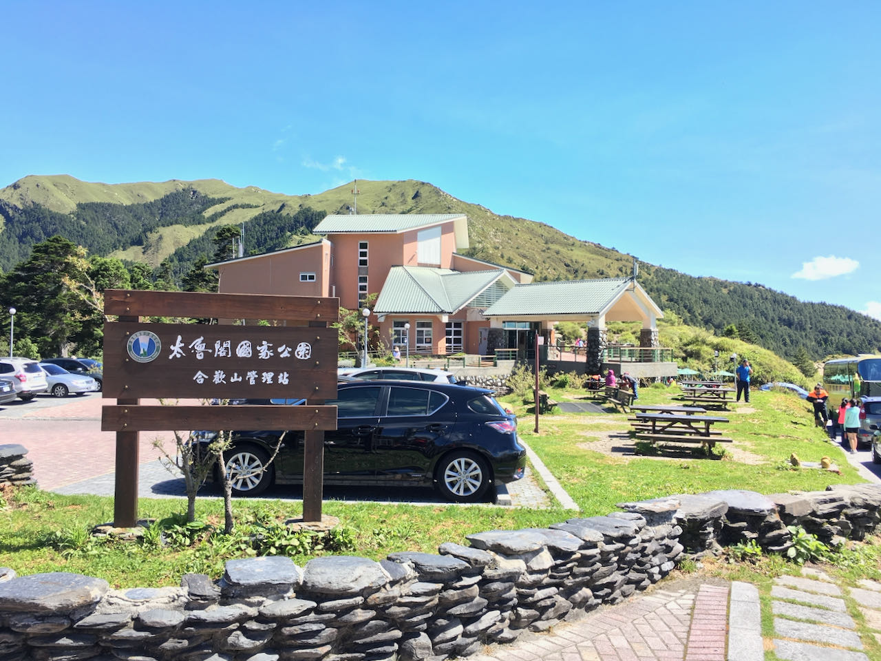
このブログ記事の翻訳を進行中です。もうすぐ完成しますので、後ほど再度ご確認ください。ご不便をおかけして申し訳ありません。現在は、こちらで提供されているGPXルートや地図などの情報を自由にご利用ください。
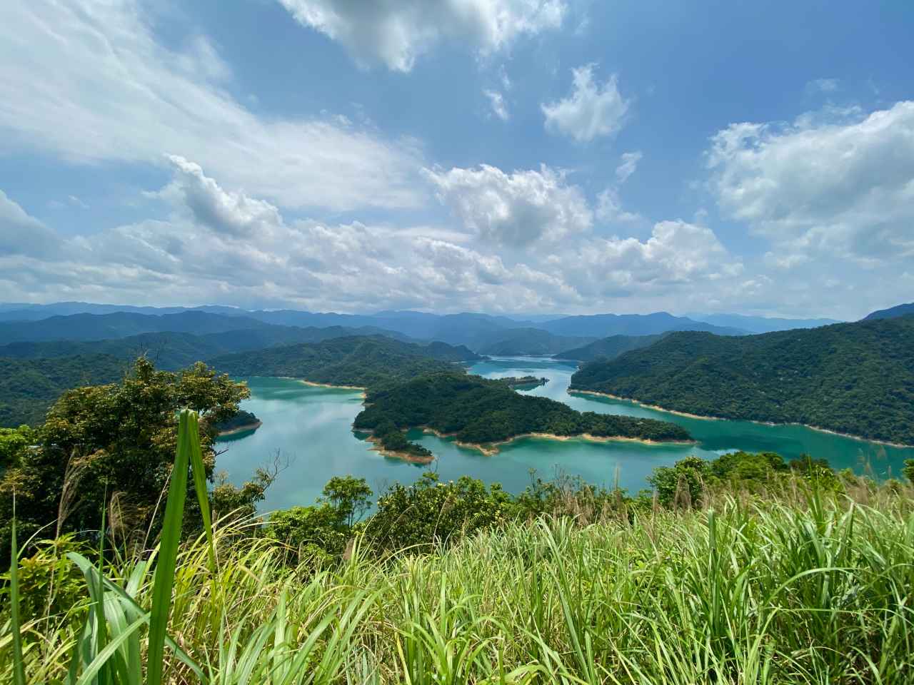
I went for a cycling trip with a small group of local cyclists on a Saturday in May, to get a good look at the Crocodile Island 鱷魚島, which can be found in the Fei-ts’ui Reservoir 翡翠水庫 in Shiding District 石碇區 of New Taipei City. It is a 41km route with a maximum altitude of 583m and an elevation gain 1871m. The cycling route is designed by the group leader Sean Fang. The GPX file is downloadable at the end of this post.
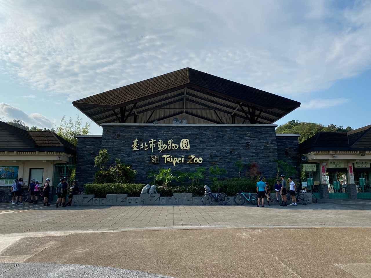
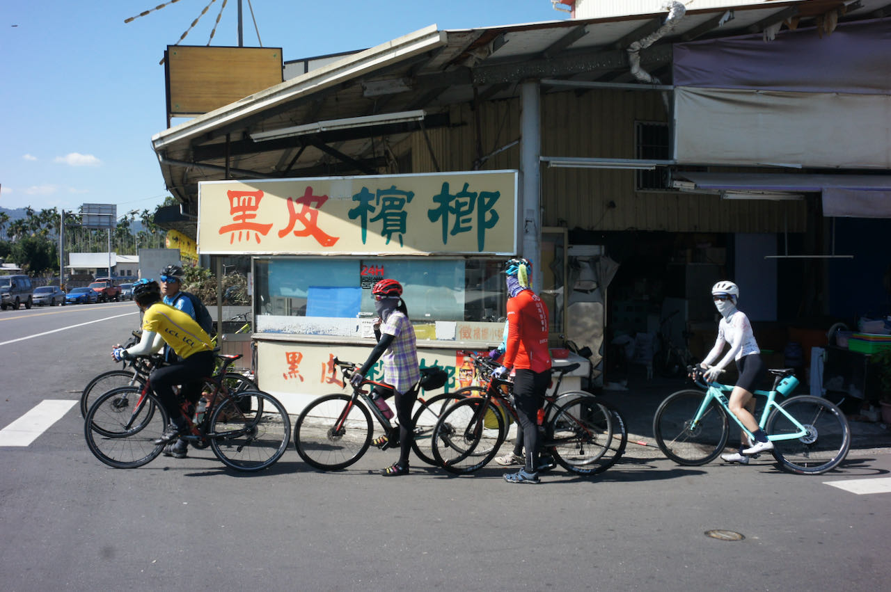
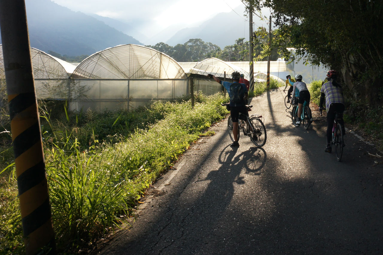
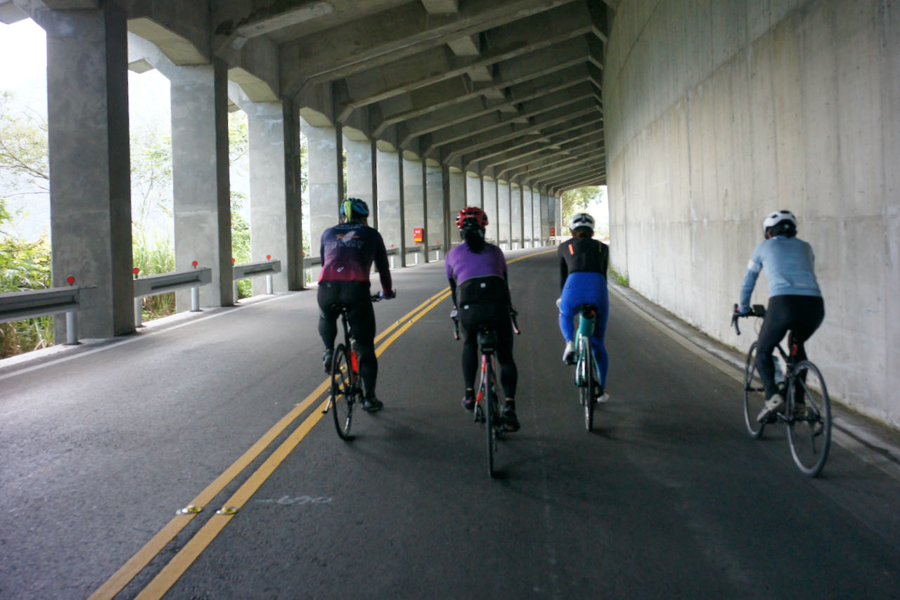
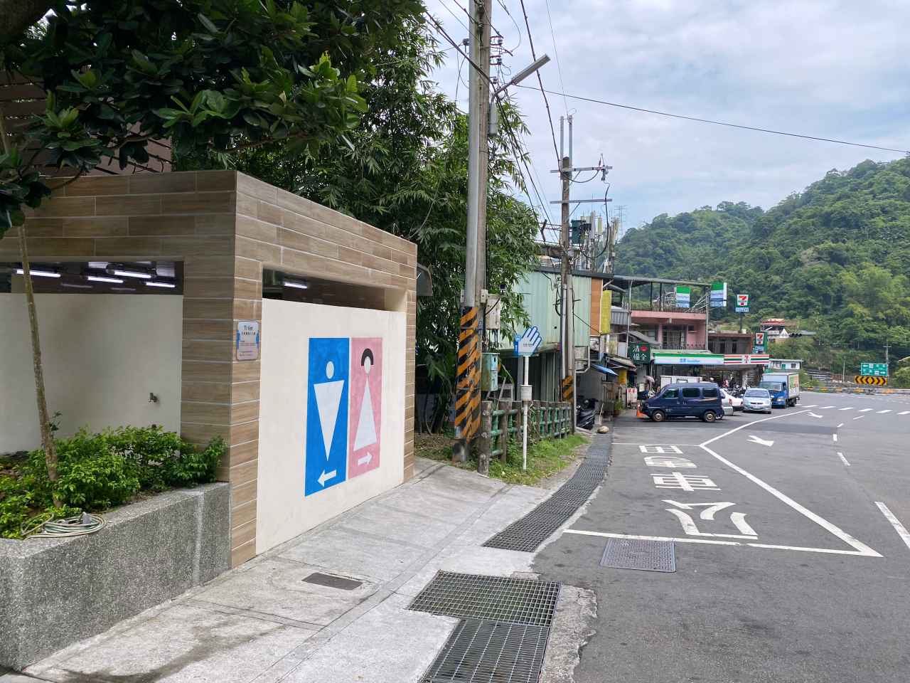
We met at 7:30 am outside Taipei Zoo, and then took County Highway 106B (shown on Google Maps as 106乙) to a junction where 106B meets 106. With two big convenience stores (7-Eleven and Family Mart) and some parking space available, this junction has become a popular stop among cyclists and motorcyclists for toilet breaks and supply. It’s particularly crowded during weekends, so you better park your bike securely before getting into the stores, lest some careless souls may hurt your beloved one by accident.
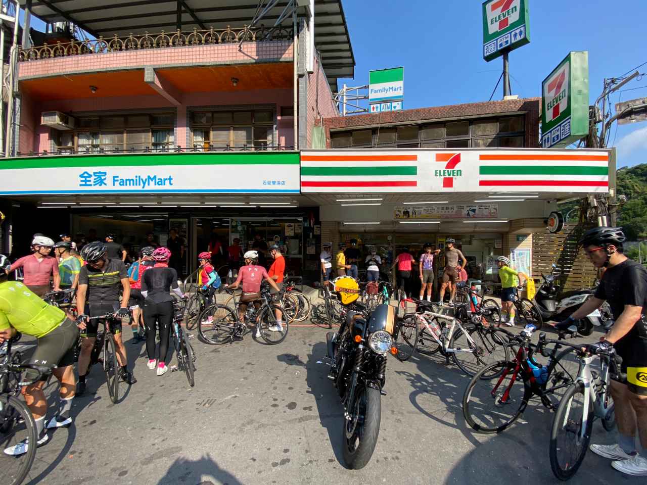
After getting what I needed in one of the convenience stores, I was called by my friends to help a young lady cyclist who can’t speak mandarin. Turned out she was looking for the toilet, which was apparently in short supply in this area. The shopkeeper was so kind that he let her use the one reserved for staff.
Let me sidetrack a bit to talk about toilets in Taiwan. Only a special kind of toilet paper, which is specifically designed to be dissolvable in water, can be flushed down the toilets in Taiwan. But in old buildings or many rural areas where the draining pipes are old and narrow, toilets get clogged very easily, especially when they are in heavy use. That’s why you can always find a garbage bin inside the compartment of those toilets, which is where the used toilet paper is meant to go. Please do not hesitate to use it. Otherwise you may be left in a very embarrassing situation. And when enough toilets are clogged, shopkeepers may stop letting us use their toilets.
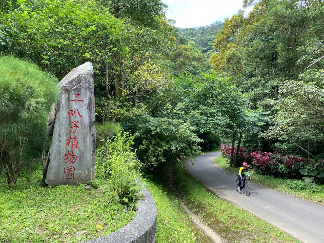
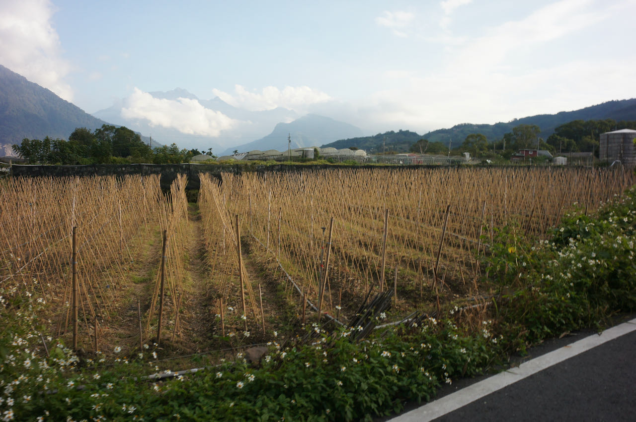
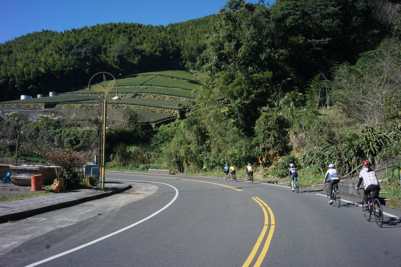
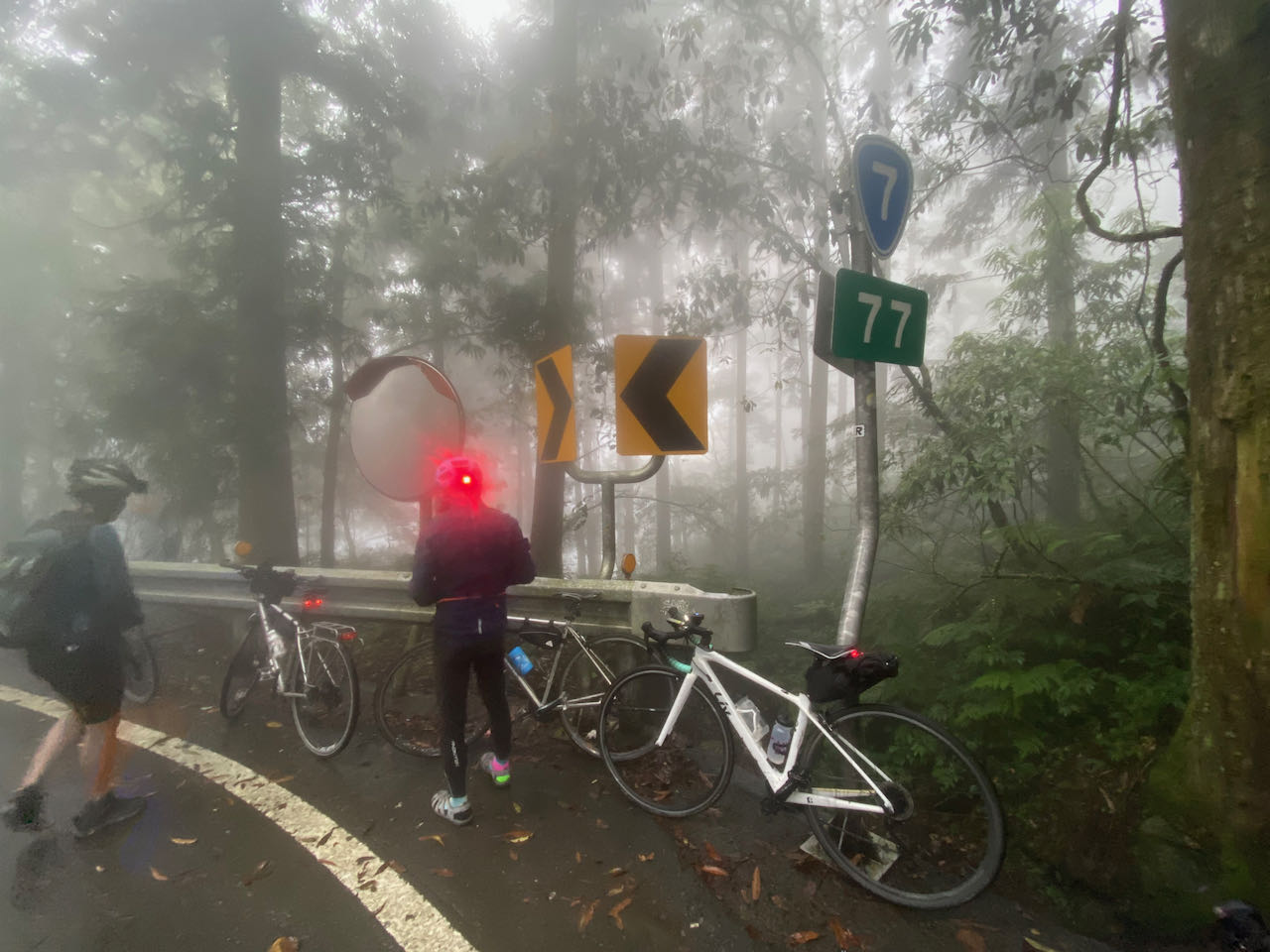
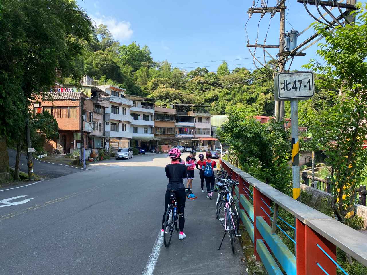
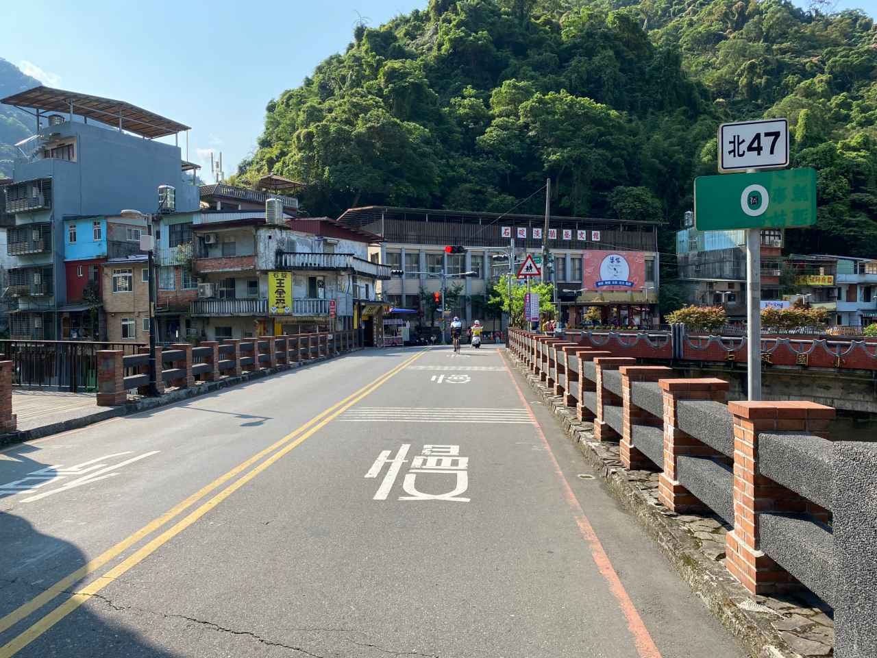
So, we continued on the County Highway 106B and then made a right turn onto the Township Road TP47 (Shown on Google Maps as 北47) after passing the small town called Shiding.
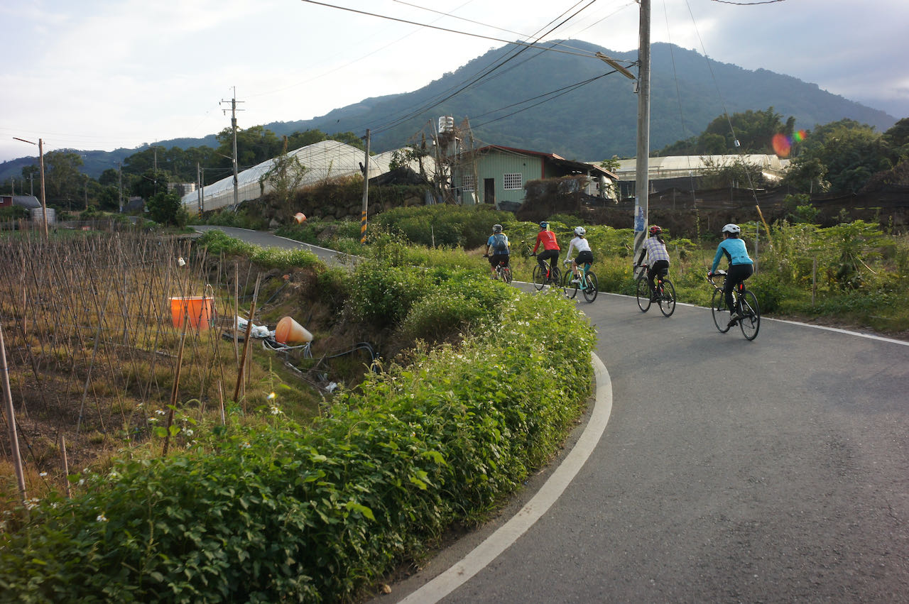
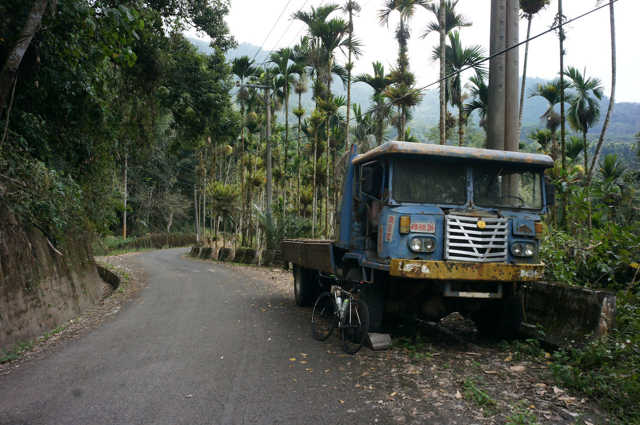
TP47 splitted into TP47 and TP47-1. We were supposed to take TP47-1 and start the climbing. But this turn is a bit tricky – Sean had led us to a wrong path even though he was the one who plotted the route and it was not his first time here. Anyway, we realized our mistake soon enough as the road became impossible for cycling.
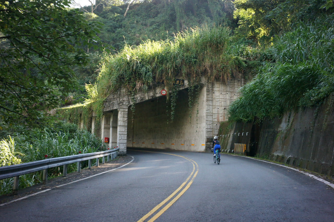
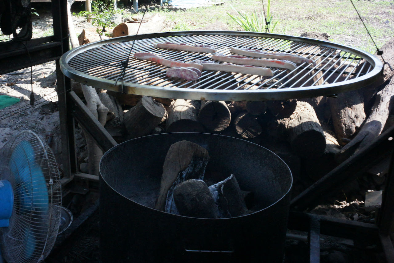
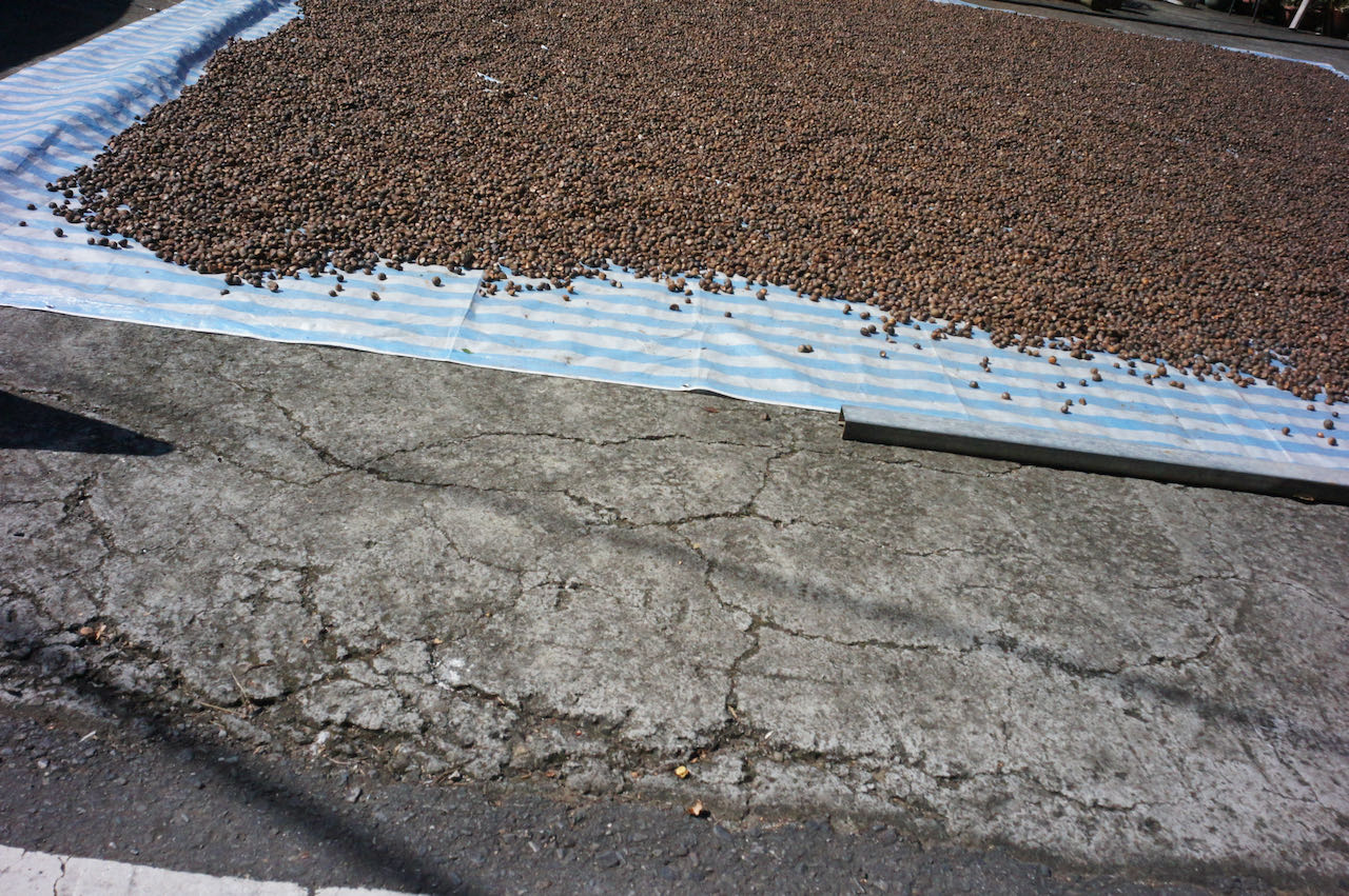
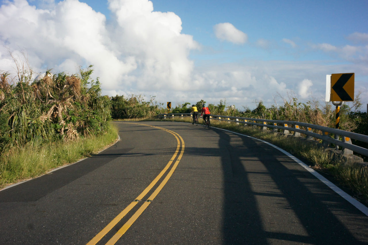
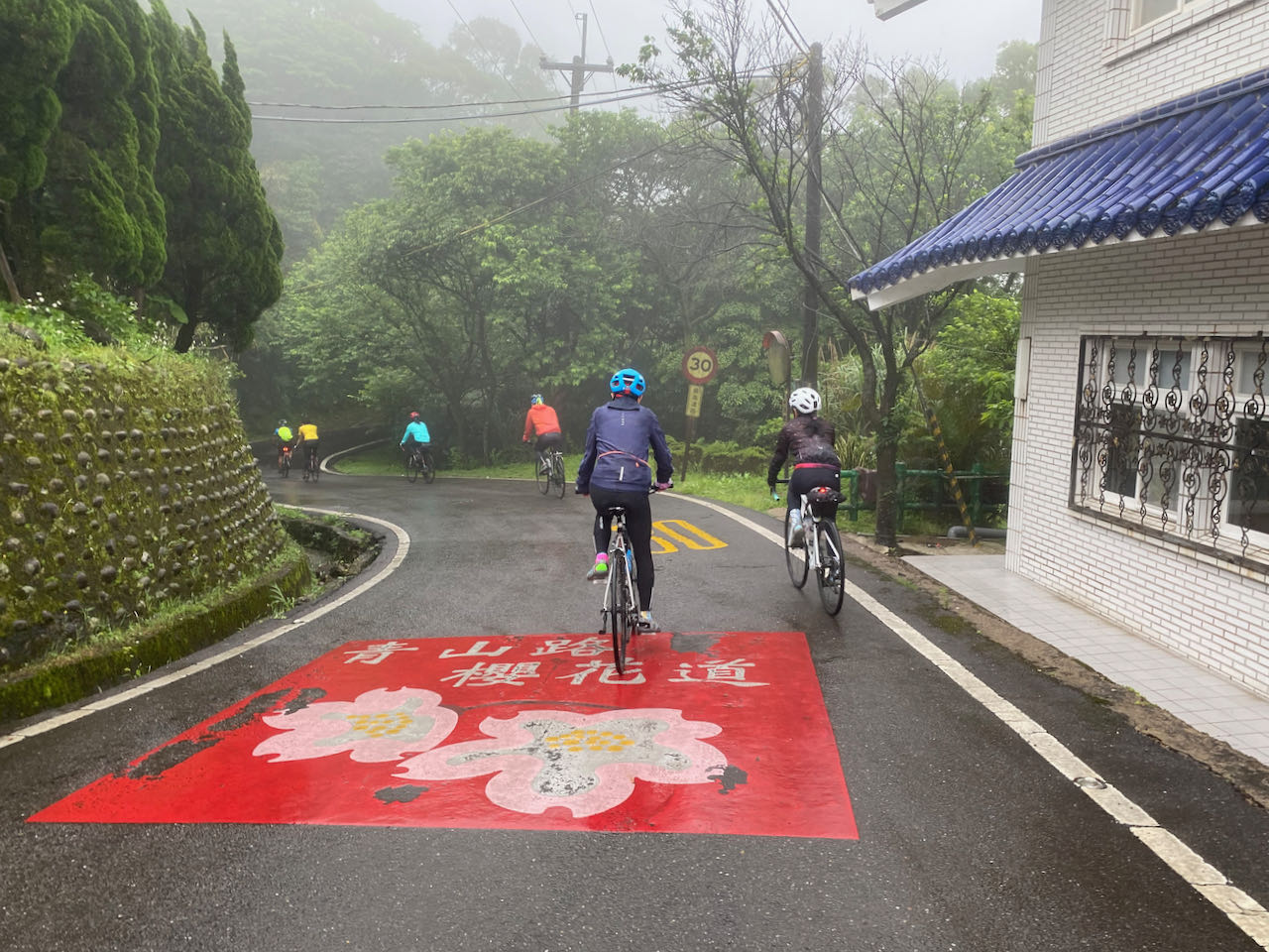
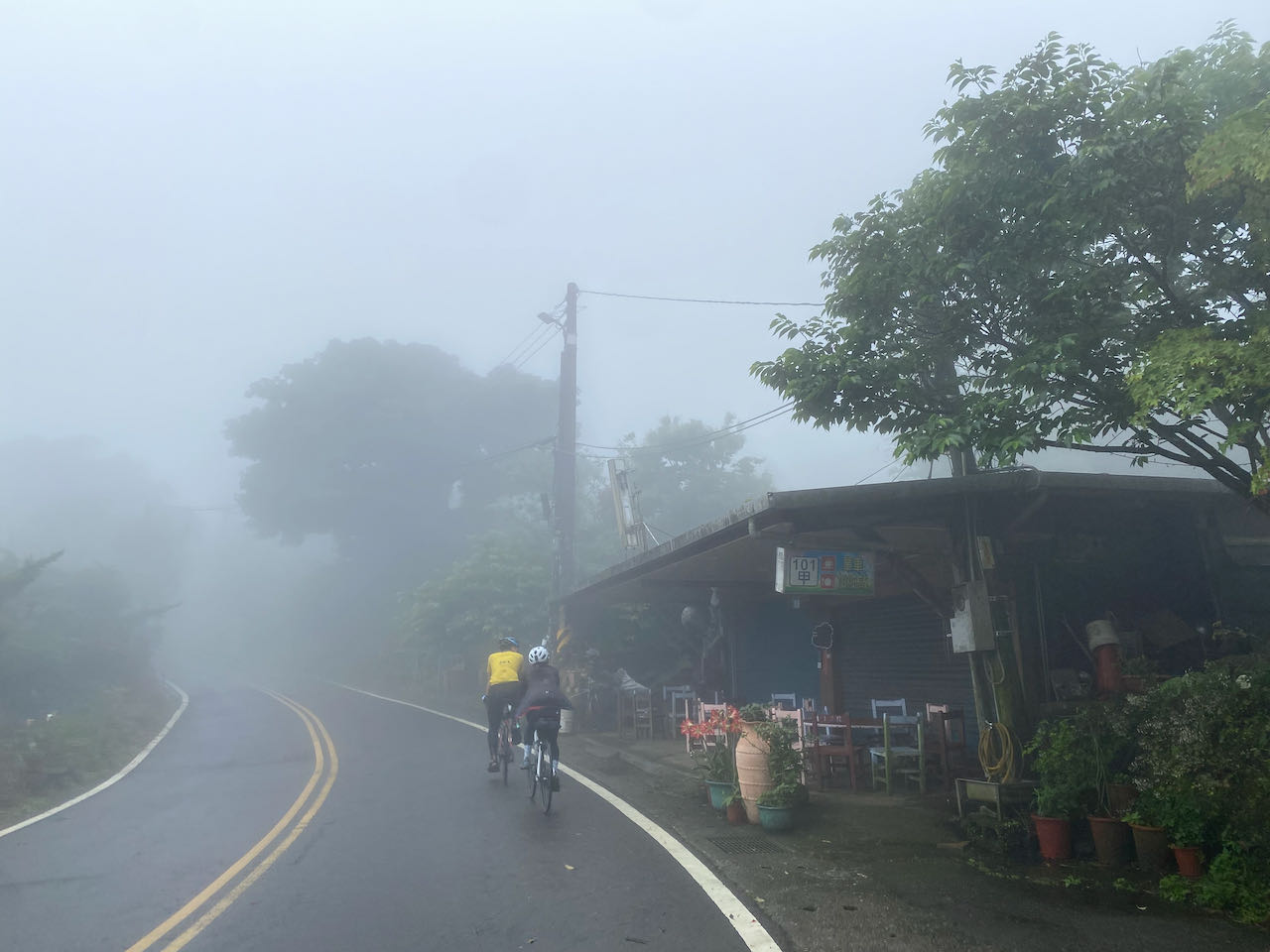
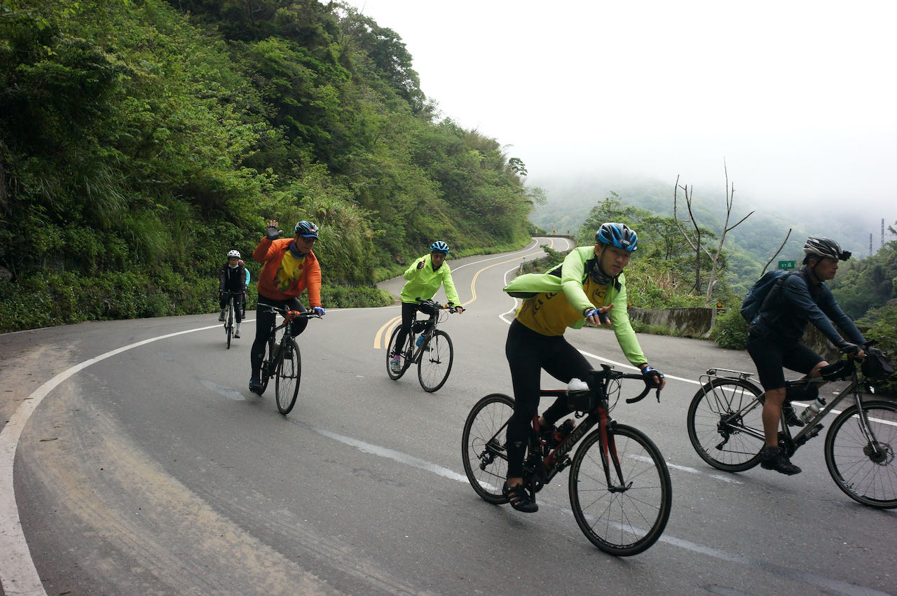
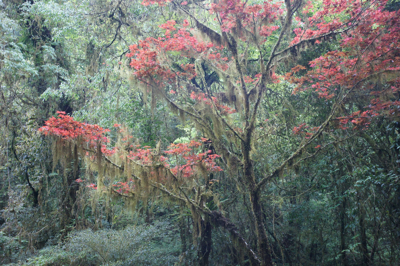
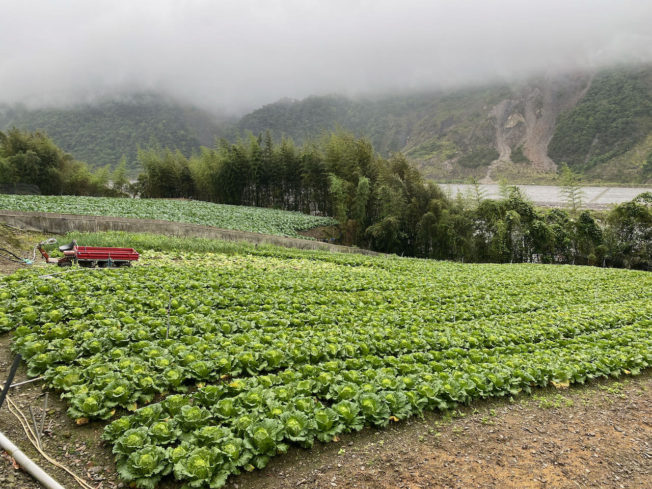
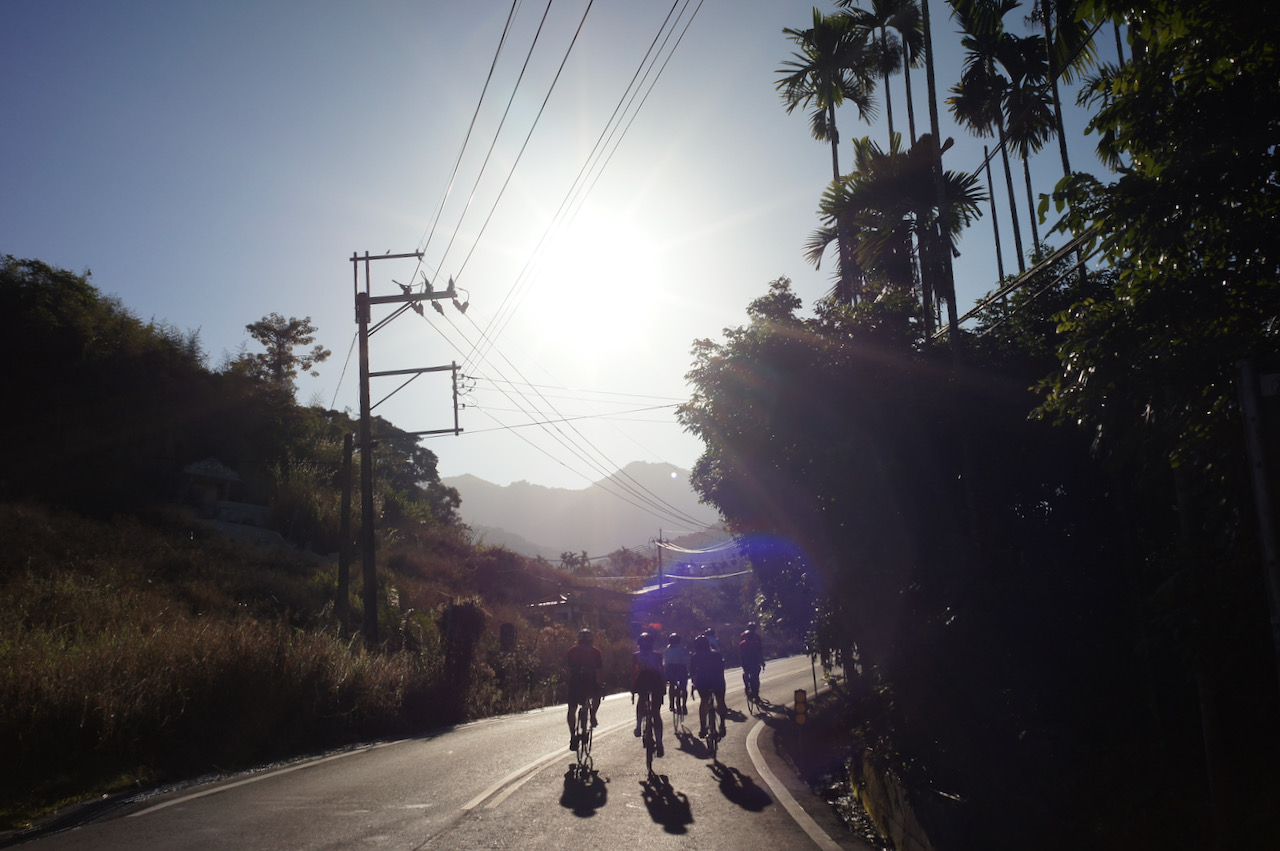
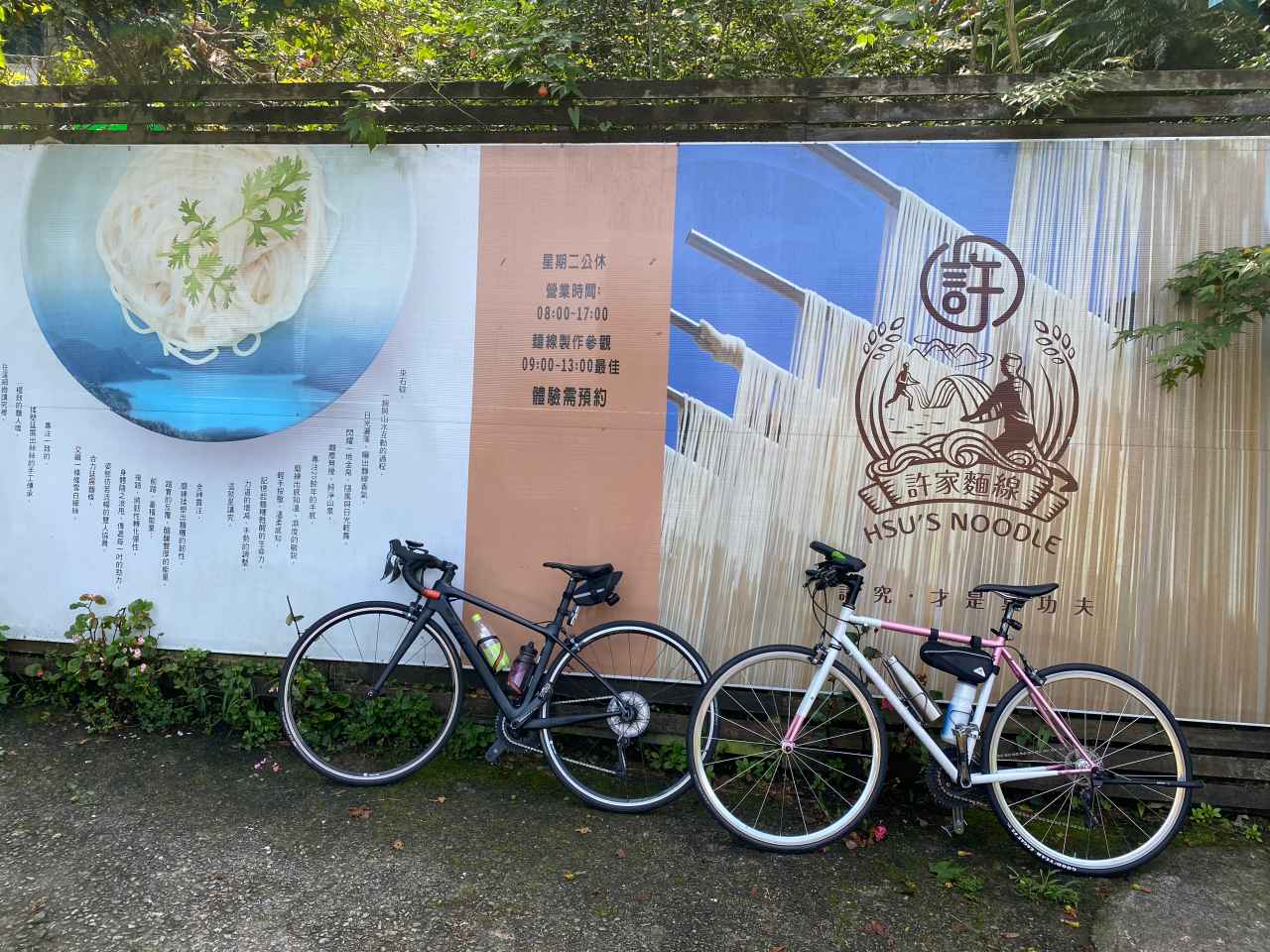
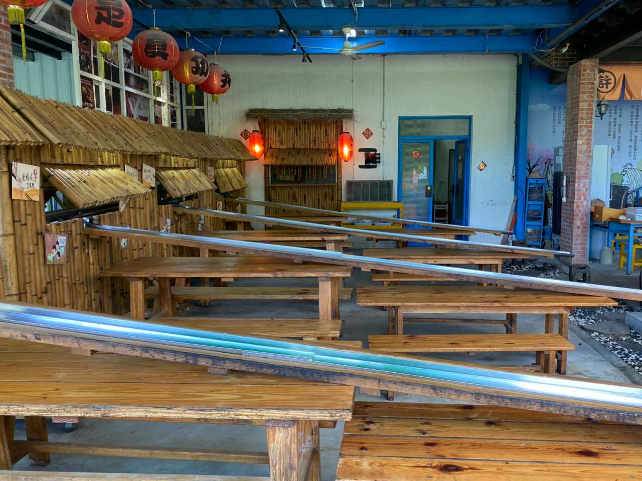
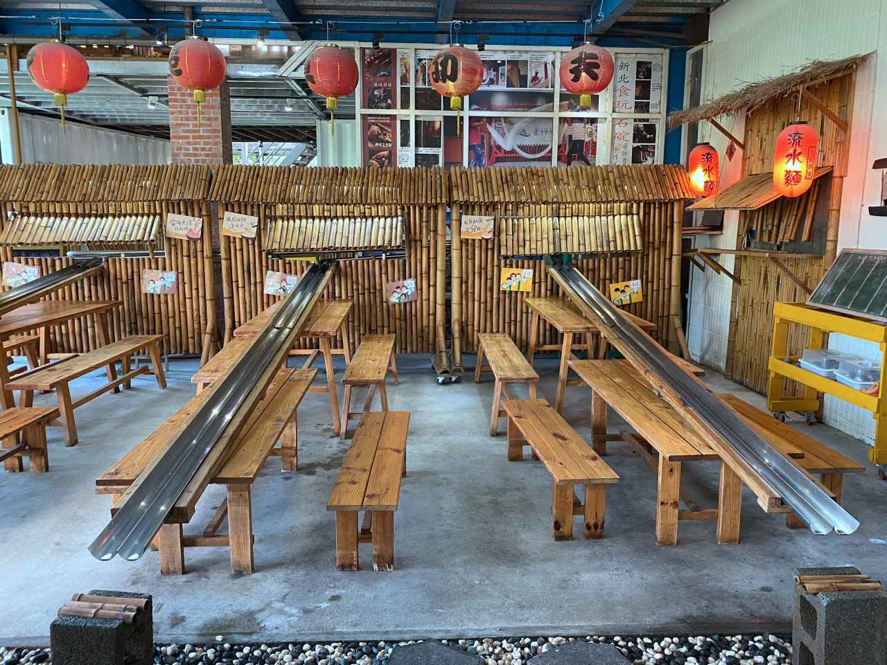
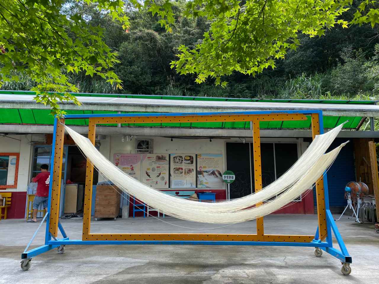
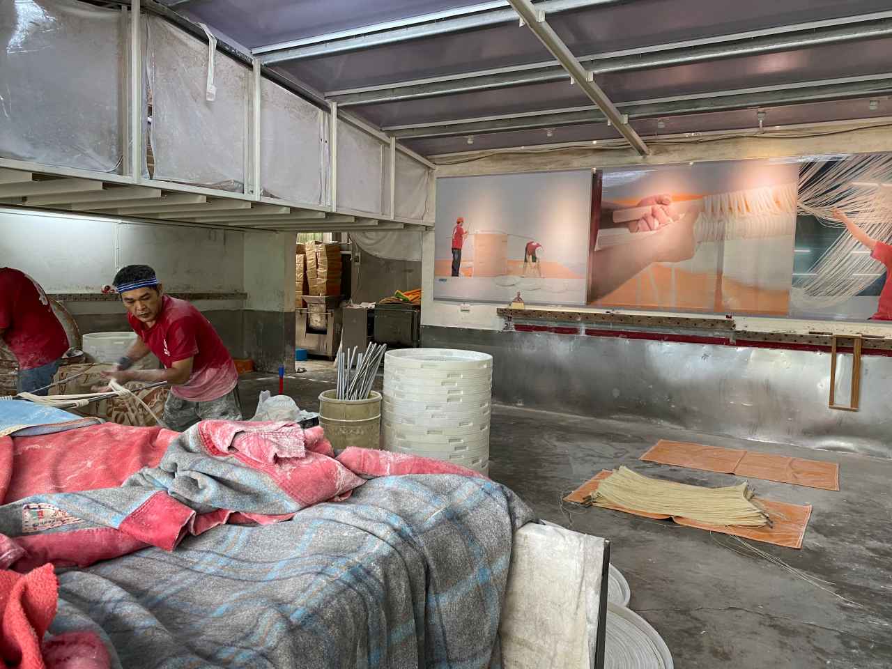
TP47-1 is good for cycling in late spring and summer as the trees along the route will protect us from the sun. That day there were practically zero motor vehicles but we had several cycling groups doing the climb with us. Around midway of the route, there was a handmade noodle workshop, HSU’s Noodle, where visitors could try making their own. For us, it was a nice location for taking a break and getting some supplies. It’s also interesting to see how noodles are made in the traditional way.
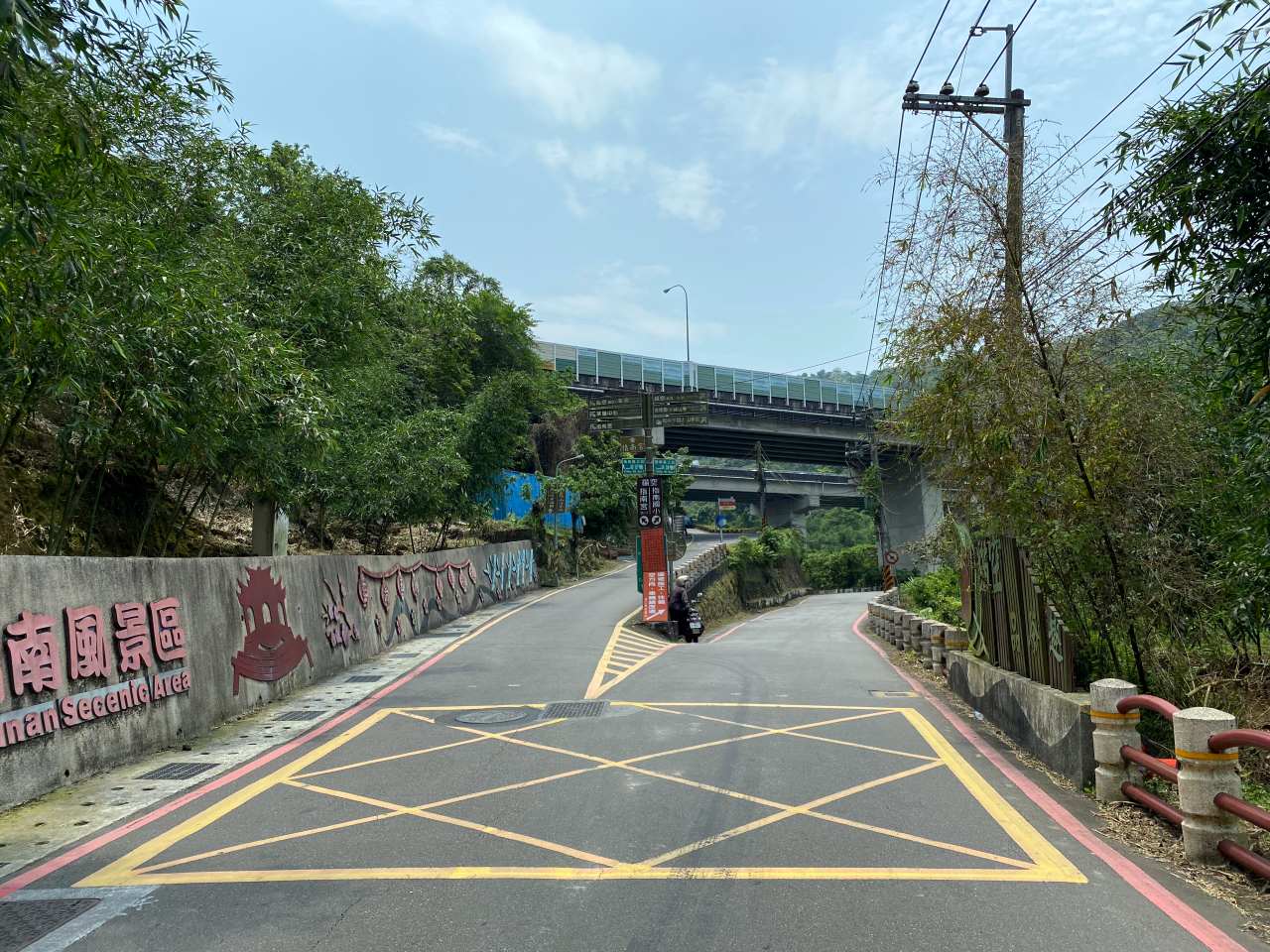
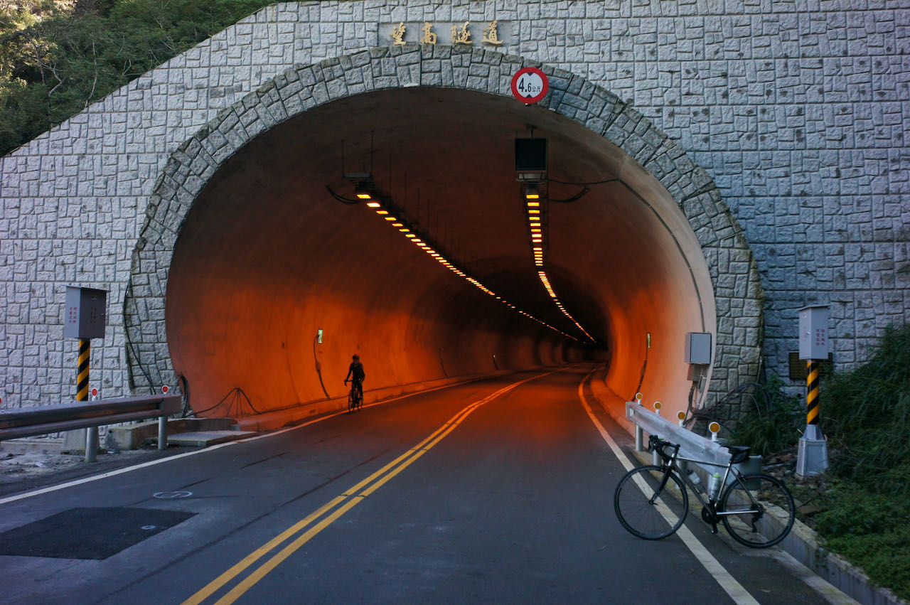
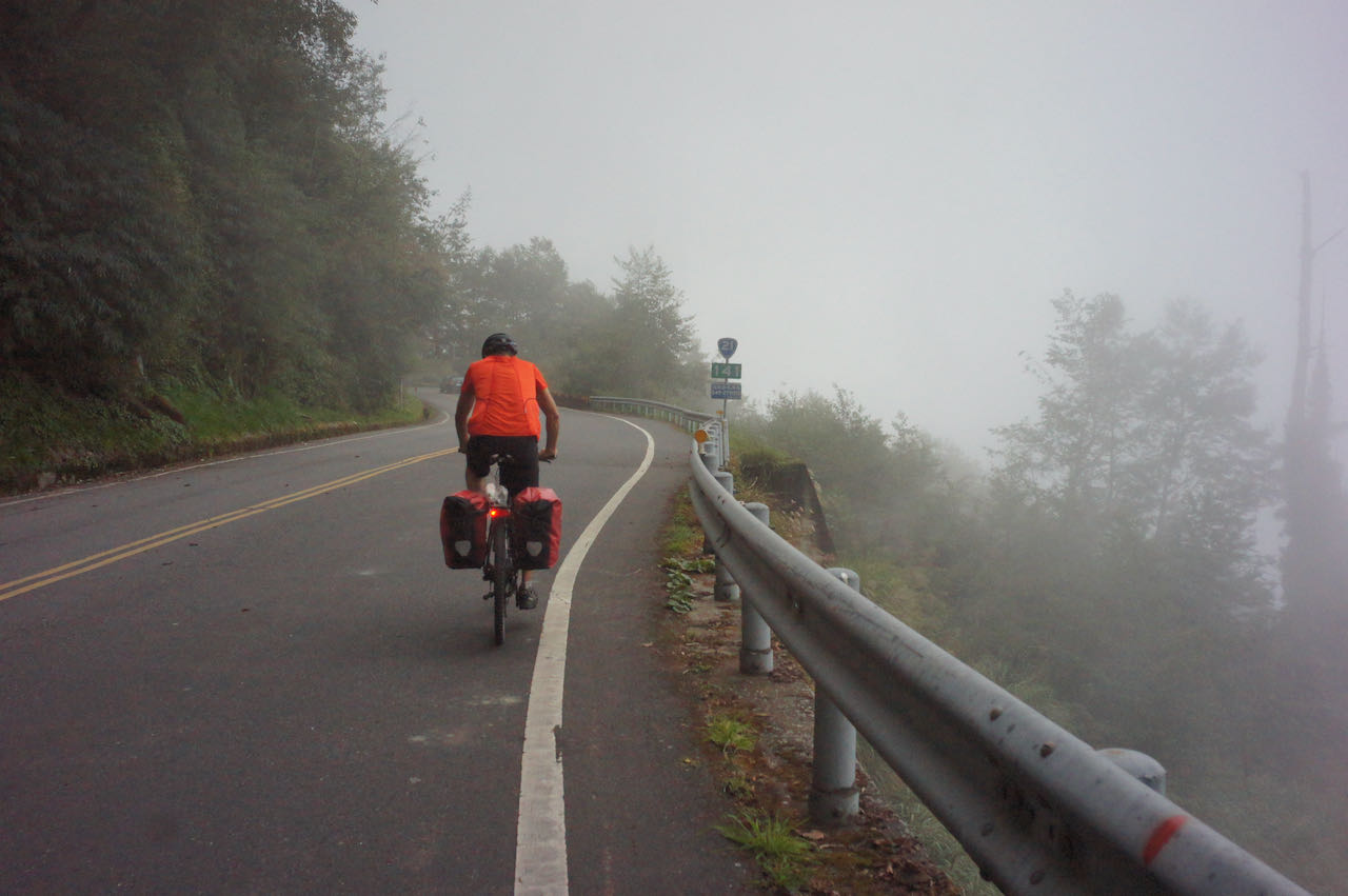
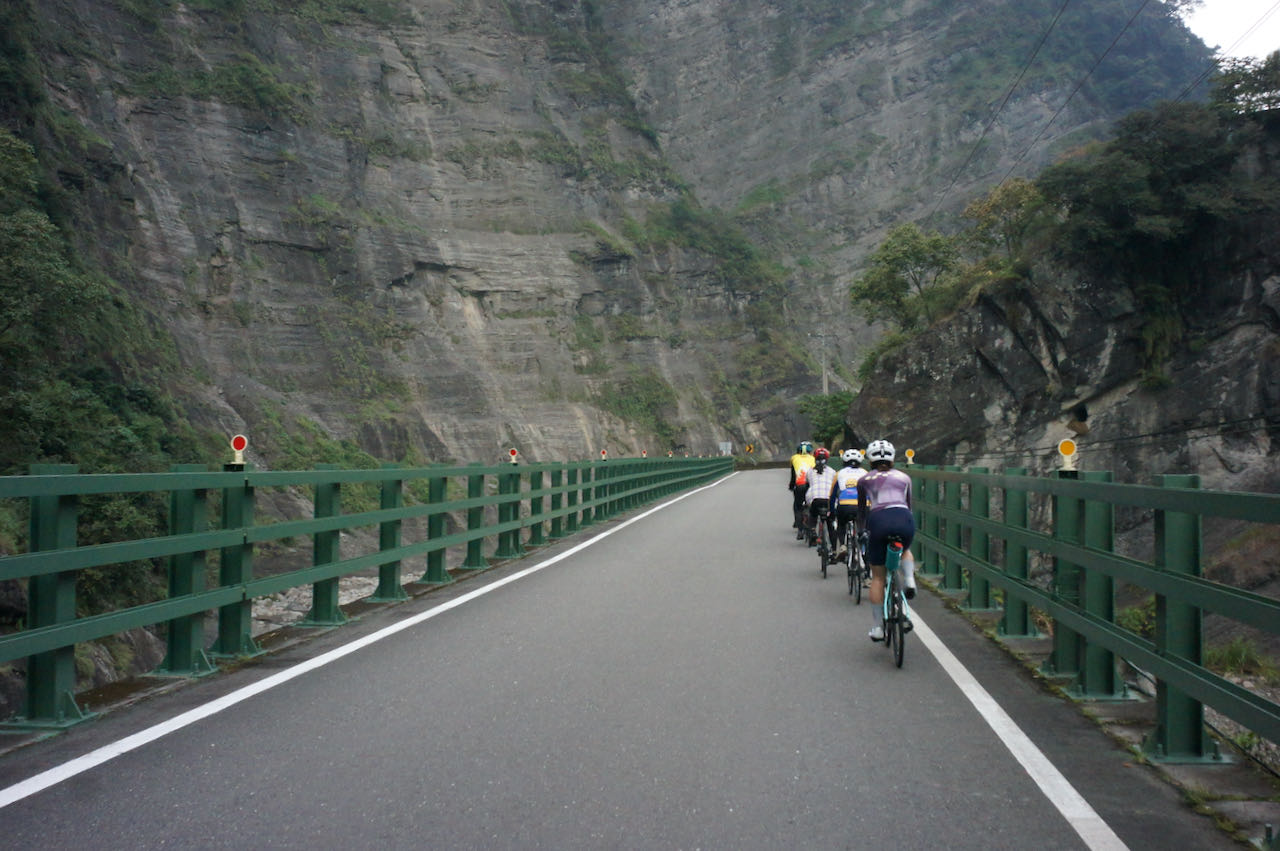
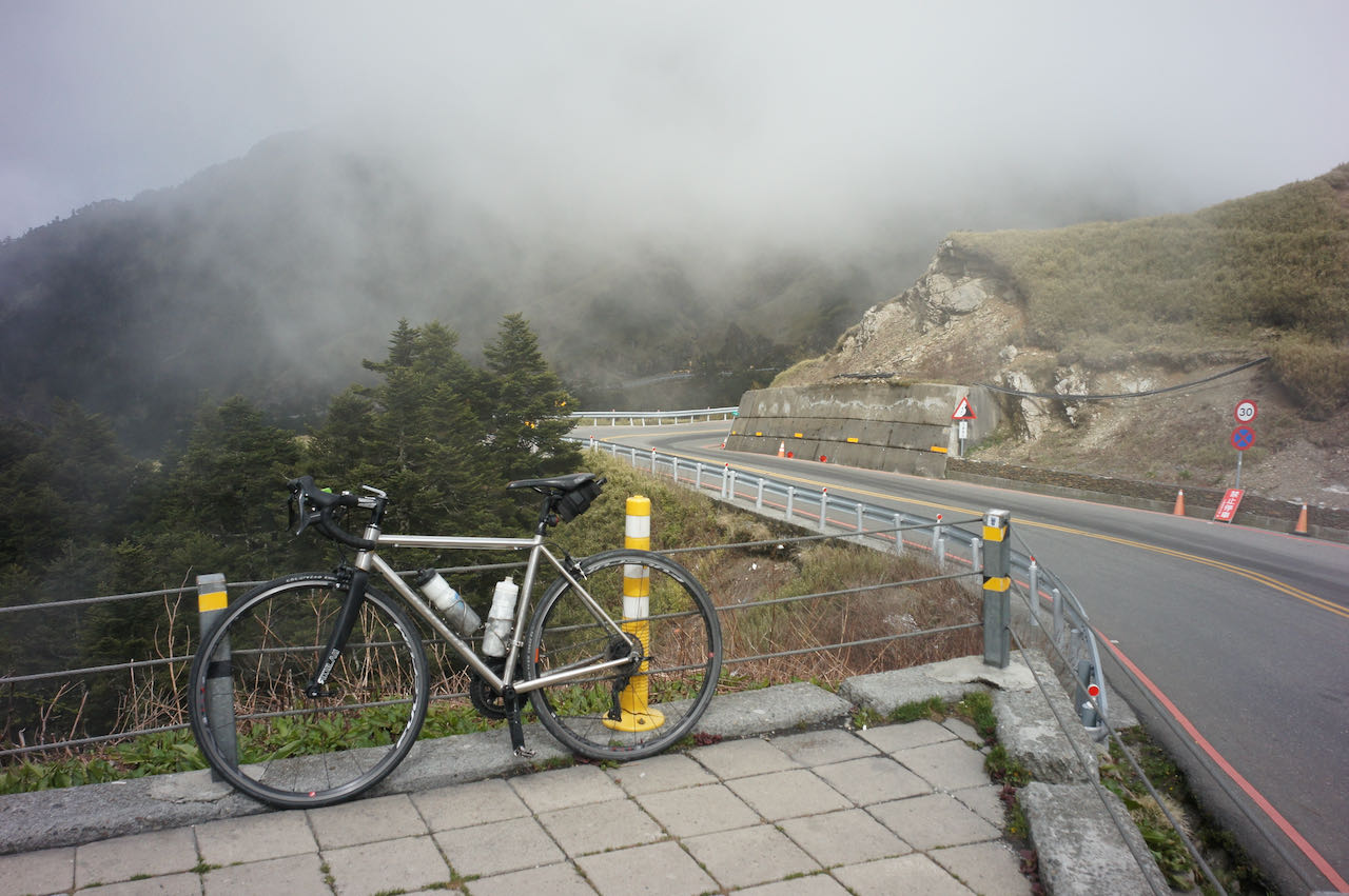
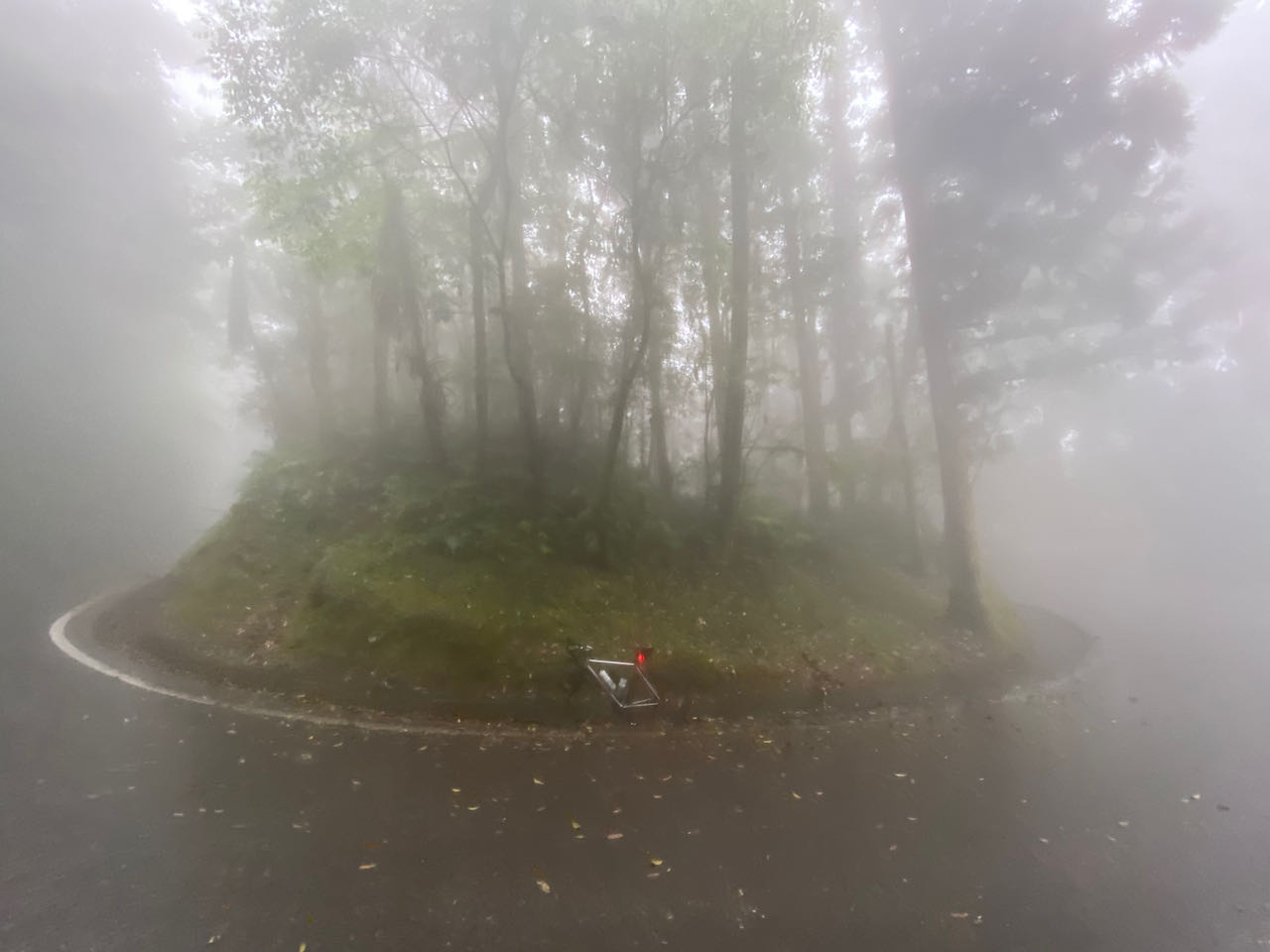
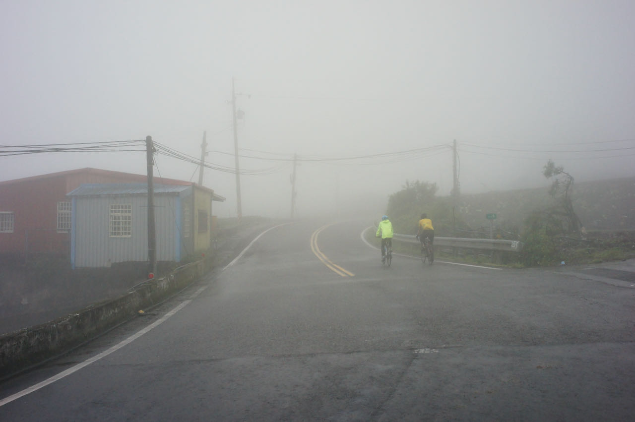
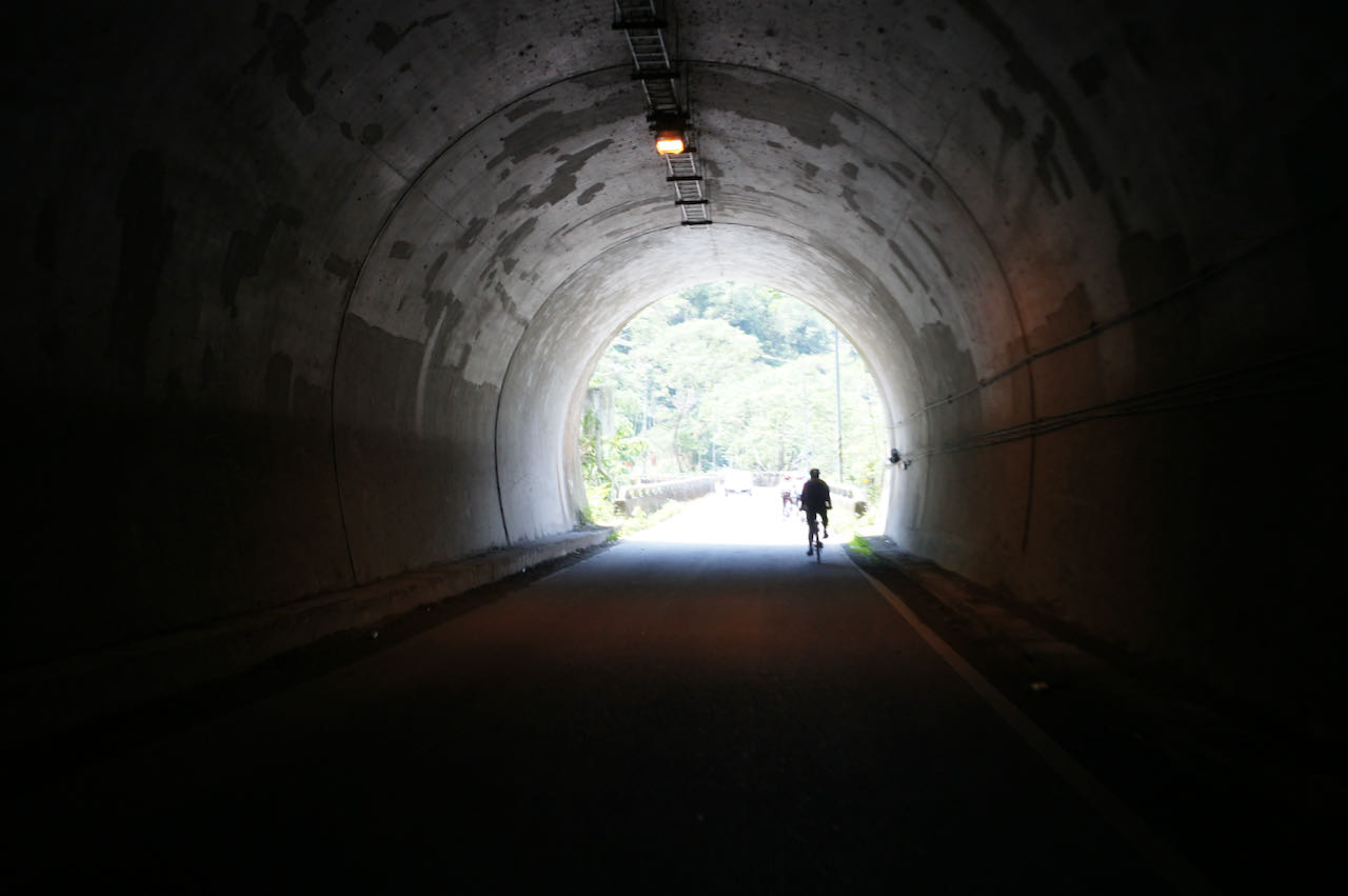
We reached the top and met Beiyi Road (Provincial Highway No. 9). It was a good climb, but I don’t think it’s a good idea to descend on this route because the shade beneath the trees keeps the surface wet and thus makes it a hotbed for slippery mosses. We actually saw an ambulance rushing past us that day, possible for a bike accident. A member of our group told me that they would have cancelled this trip if it had rained heavily the previous day because the road surface might not have enough time to dry. And if it’s summer, you’d better end the trip around noon because there usually are thunderstorms in the afternoon.
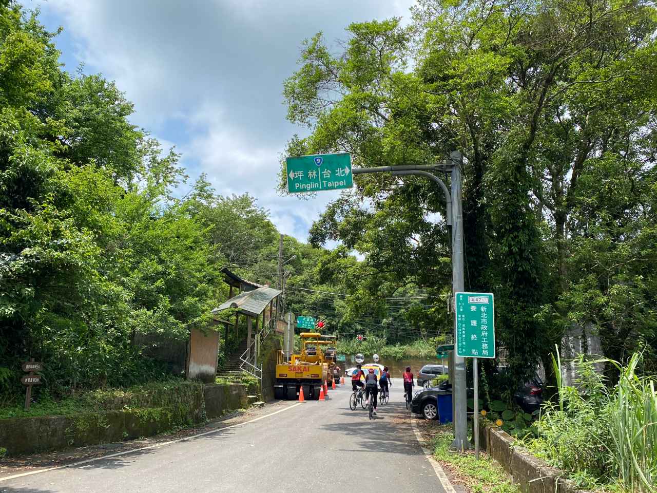
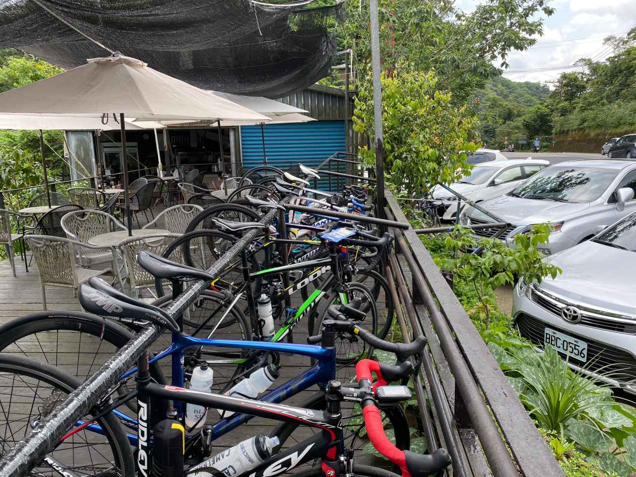
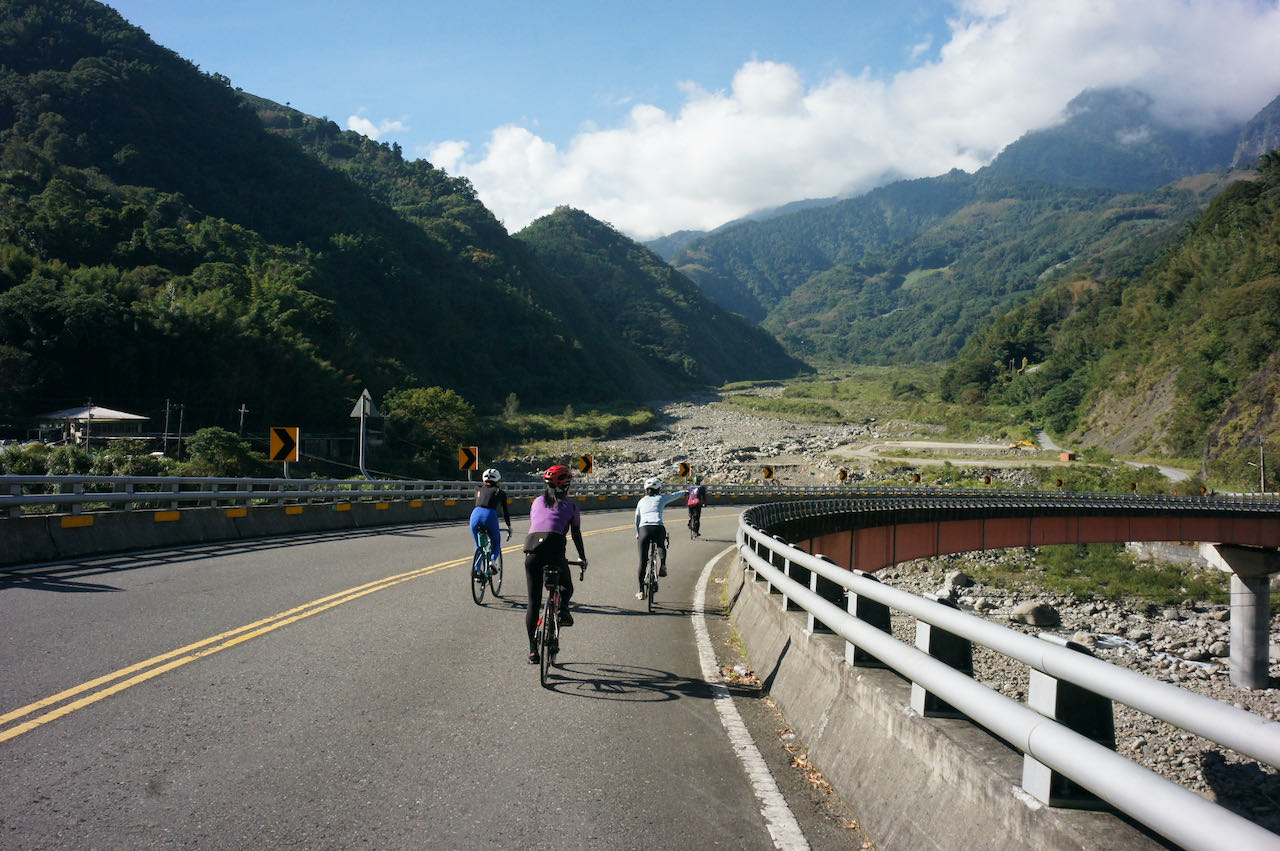
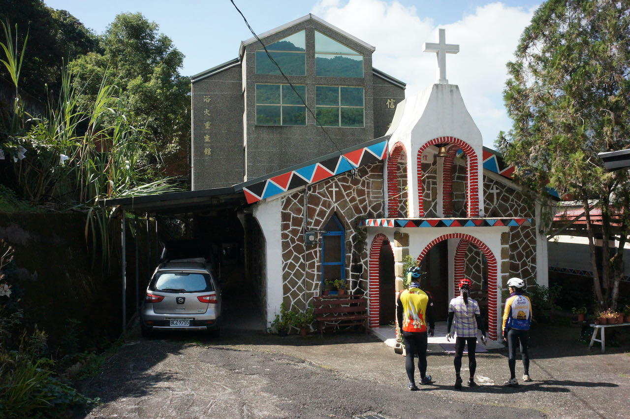
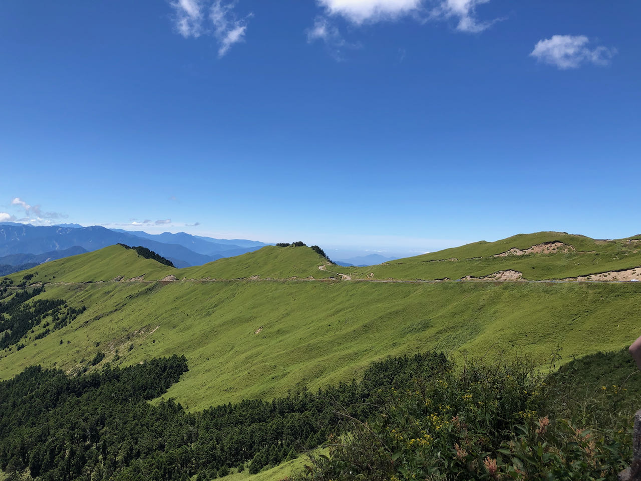
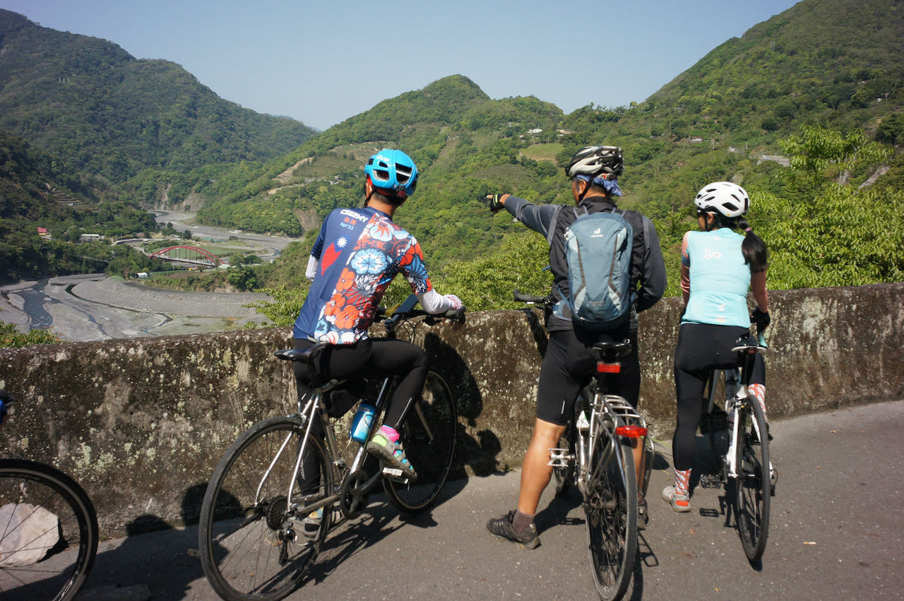
So, we were on one of the twin peaks on Beiyi Road, which connects Taipei and Yilan County. Some cyclists who do the around-the-island anti-clockwisely would take this route to get back to Taipei. It is the final leg and the end of the final climb. After that, all they need to do is a long descent all the way to Taipei to complete the loop. A coffee shop and some traditional food stalls are here to help make an early celebration.
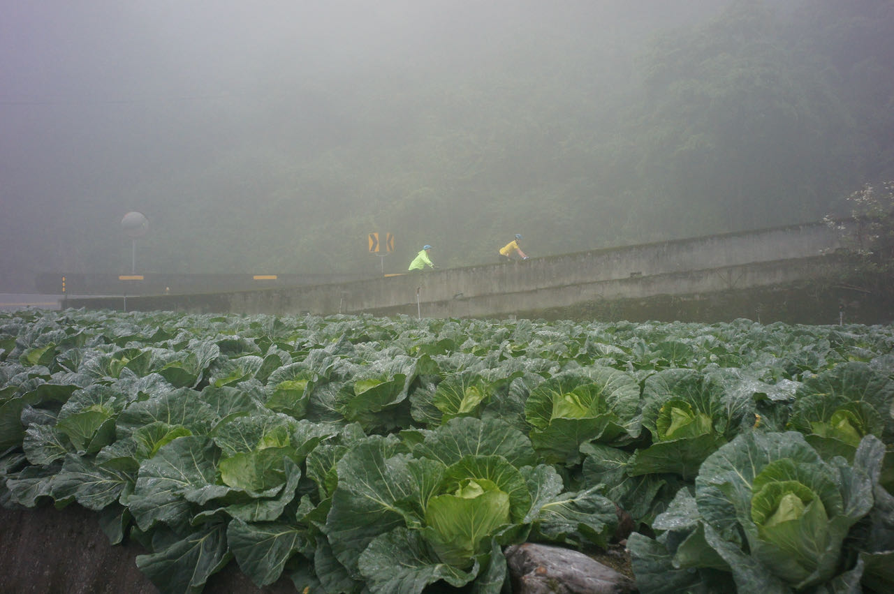
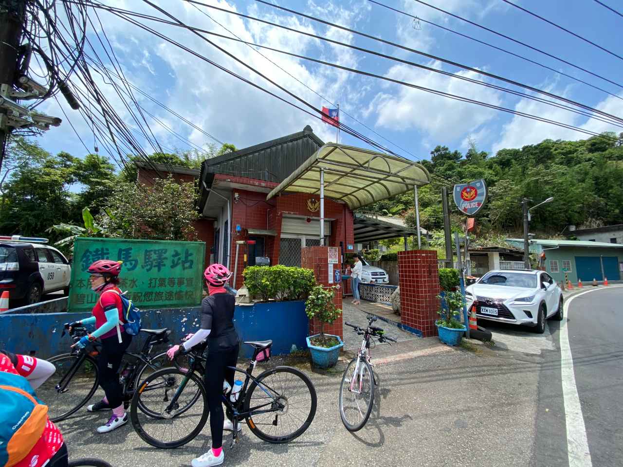
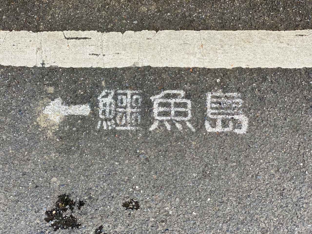
We were also heading to Taipei from here but would make a detour first to take a look at the Crocodile Island. We needed to switch to a small road right next to a small police station after a short descend. So, take it easy and don’t go too fast or you will miss the turn.
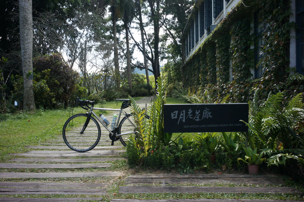
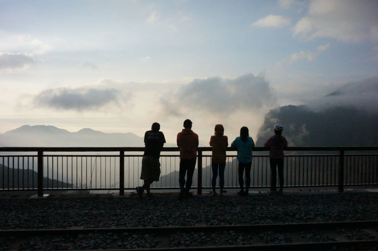
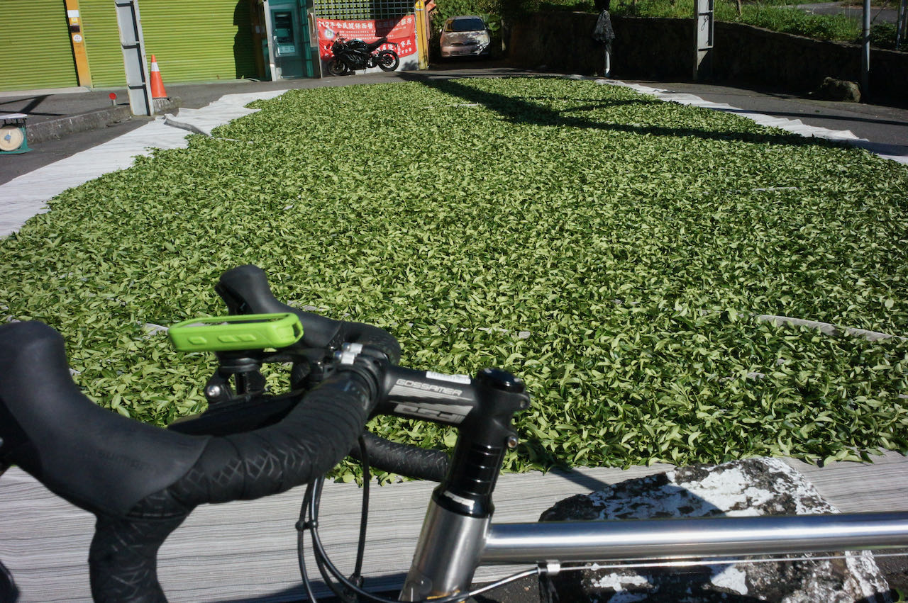
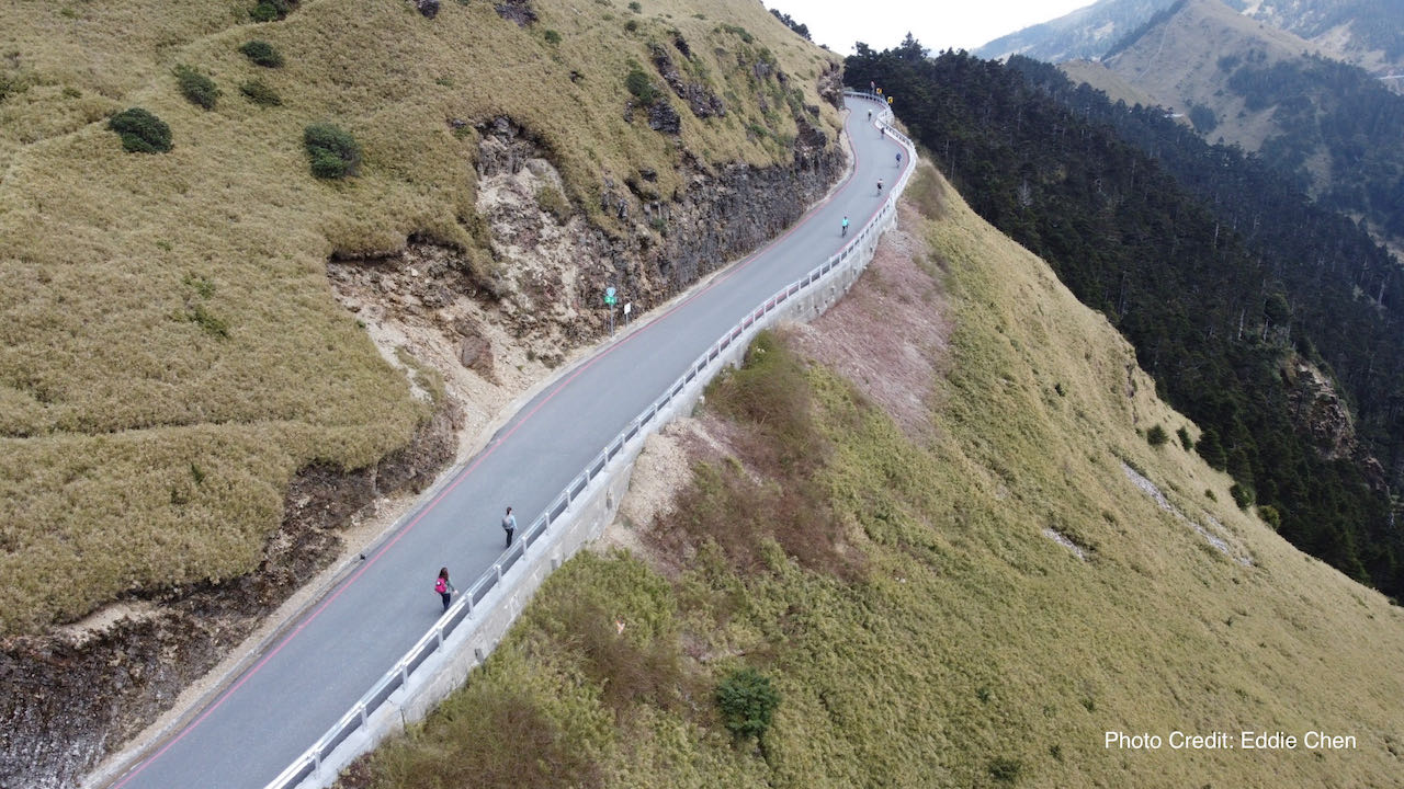
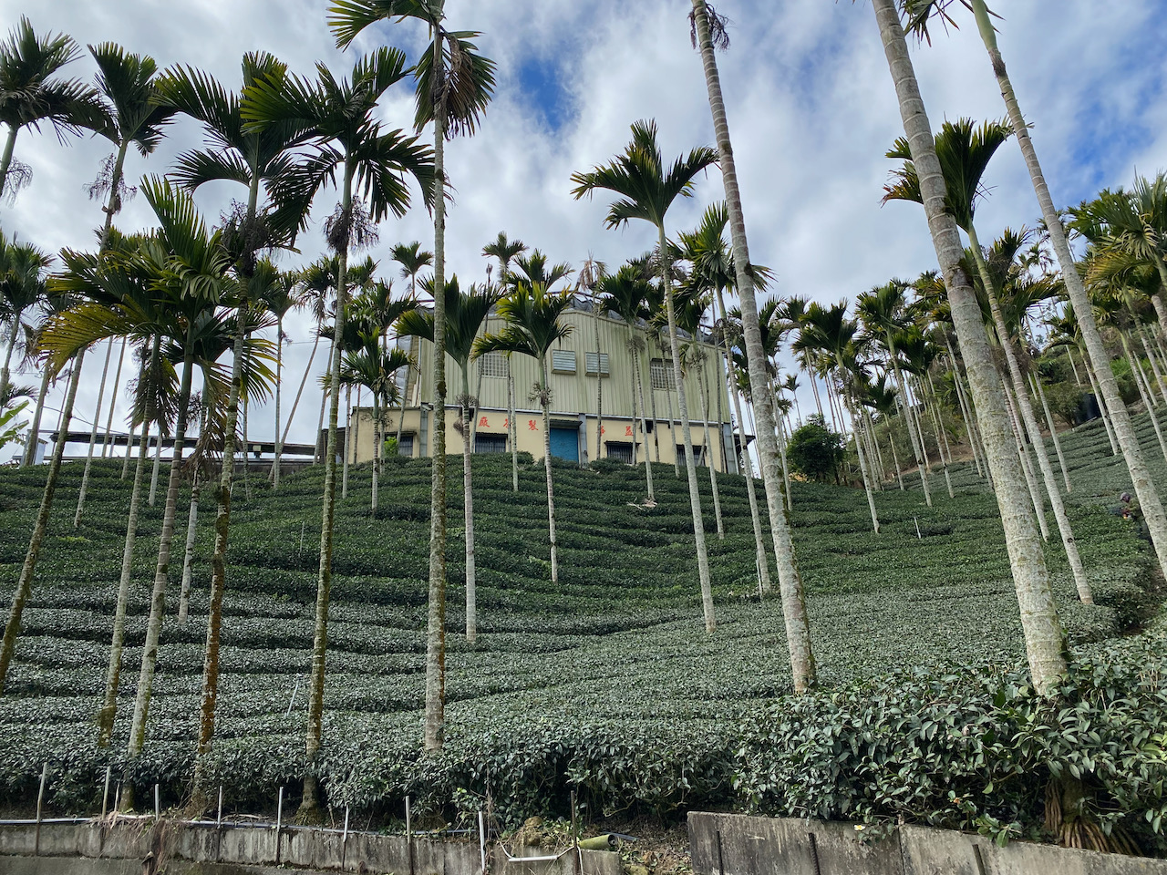
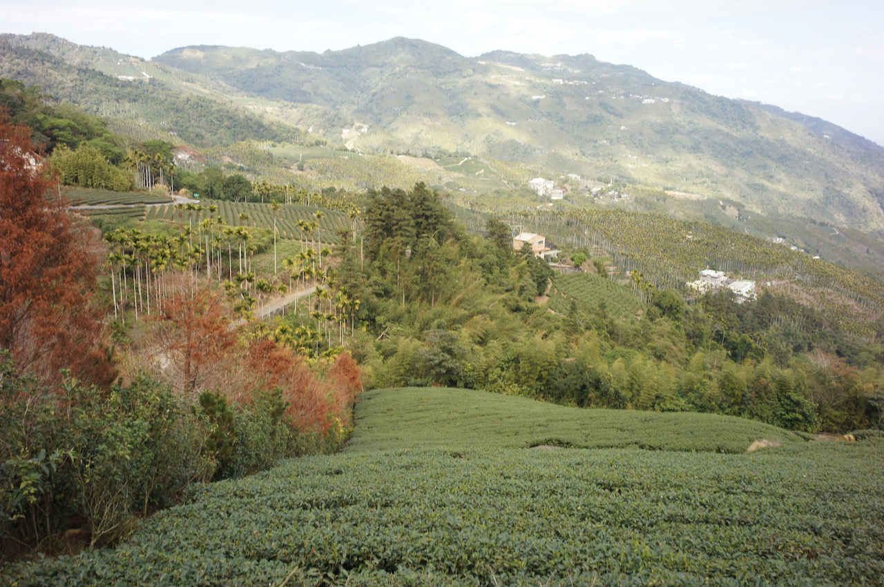
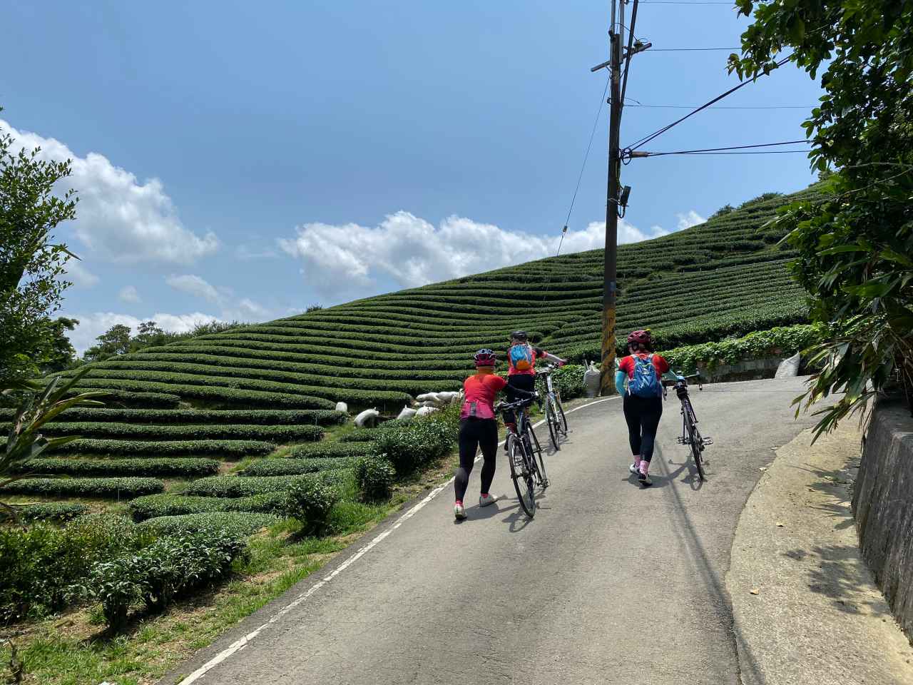
The detour was around 2.5 km on a small road with an elevation profile shaped like a “V”. It was so steep that, when descending, some in our group found themselves not able to keep their grips firm on the brakes. And when ascending, we all gave up riding and pushed our bikes to the first viewing platform after passing by a beautiful tea farm. Those on motor vehicles were so impressed that we could make it there on bikes.

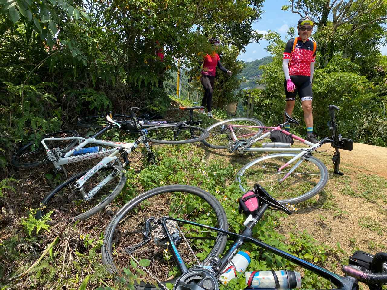
In order to get to a better viewing spot, we left our bikes and hiked a short trial. It may be a good idea to bring a bike lock if you want to have greater peace of mind.
The return leg was simple. We headed back to Beiyi Road and took a long thrilling descent to Xindian MRT station.
That was a wonderful route. Thank you, Sean.
Routes
- Garmin: https://connect.garmin.com/modern/course/41468689
- Velodash: https://cx6sm.app.goo.gl/xhya
- komoot: https://www.komoot.com/tour/1032765527
NOTE: To use the routes, please install the App on your smartphone. The App will launch and load the route automatically after you tap the above links on your smartphone’s browser. For Garmin Connect, you can then use the APP to send the route to your garmin device. If your Garmin device is not purchased in Taiwan, you will also need make sure you have the Taiwan map on your device. Here is our blog post on this topic.