このブログ記事の翻訳と編集をしてくださった久保田智博さんに心より感謝申し上げます。
このページでは公式の「環島1号線(サイクルルートNo.1)」を通った際の日々の旅程計画の補足説明をしています。さらに、体験を充実したものにするために、よりスムーズなライドを保証するために、追加ルートと代替ルートの提案を載せています。
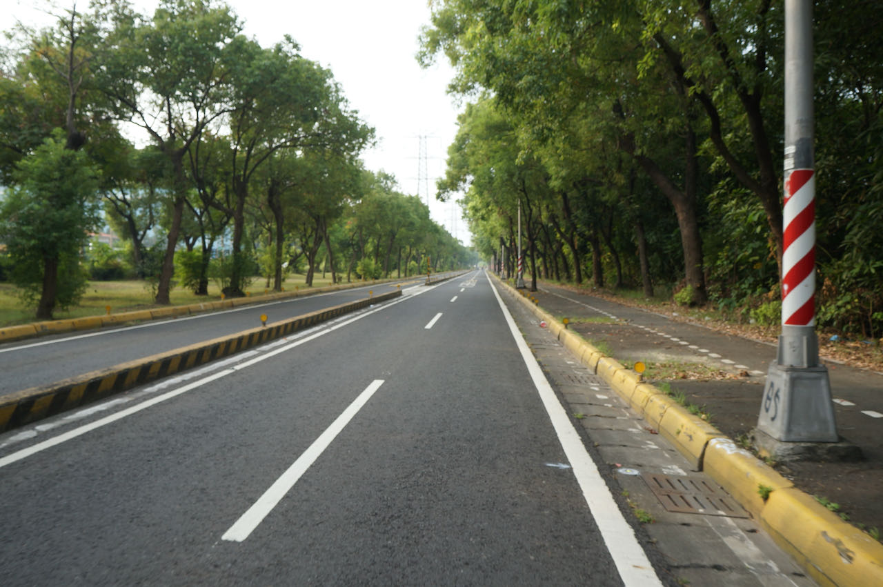
観光局の環島1号線(サイクルルートNo.1)は台湾一周の自転車旅行を計画するための優れたモデルコースになっています。しかし、私のサイクリング仲間の多くがコースには改善の余地があると指摘しています。最も一般的な問題の一つは、西側の都市部のルート沿いにある多数の信号です。信号待ちによる度重なる中断が行程を大幅に遅らせます。
そこで、よりスムーズで楽しいサイクリングを実現するためには、入念な計画とルート選びが求められます。このサイトでは、より静かな代替ルートを取り入れた9日間の旅程をまとめました。ただし、これらの代替ルート※1はモデルコースと比べて補給ポイントの少ない小道を多く採用していることに注意してください。
※1より静かな代替ルートについて:環島1号線は大きな国道のため、ルート取りはしやすいですが交通量も多いです。サイクリングにおいて車のエンジン音の多寡はストレスの少なさに直結します。ご自身の判断で、自転車専用道やサイクリングロードを利用する事をお勧めします。
また、台湾は地震、台風、モンスーンなどの自然災害に多く見舞われます。自然災害による道路の損傷に対し、政府は迅速に修理を行っています。しかし、必ずしも小さな道路が優先的に修理されるとは限りません。これらのルートがサイクリングに適した状態ではないと判断した場合は、環島1号線など推奨されている主要道路に切り替えることをお勧めします。
台湾は右側通行(乗用車は左ハンドル)を採用しているため、台湾一周は反時計回りの方向を推奨します。※2この方向なら、海岸沿いをサイクリングする際に海の景色をより楽しむことができます。さらにほとんどの観光スポットは海側に位置しているため、これらの観光スポットへ道路を渡らずにアクセスすることができます。
※2実際に走ってみると分かりますが、台湾の国道は時計回りに進む自転車通行レーンは反時計回りのそれに比べて狭いか省略されていることが多いです。
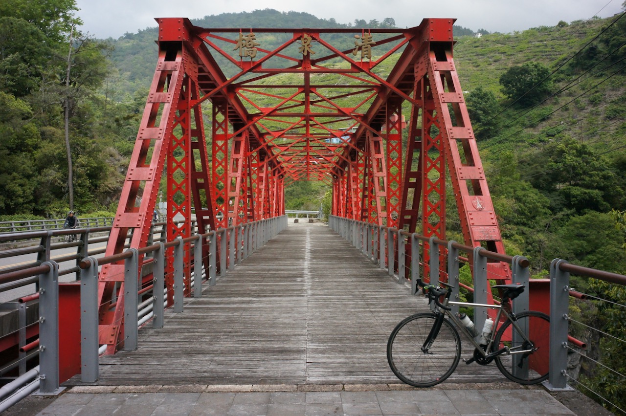
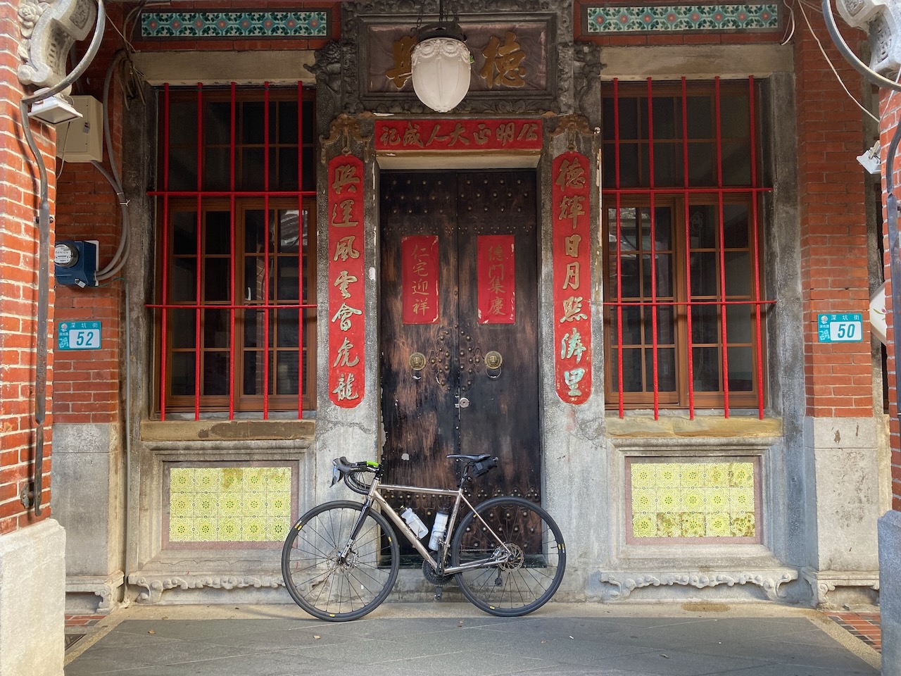
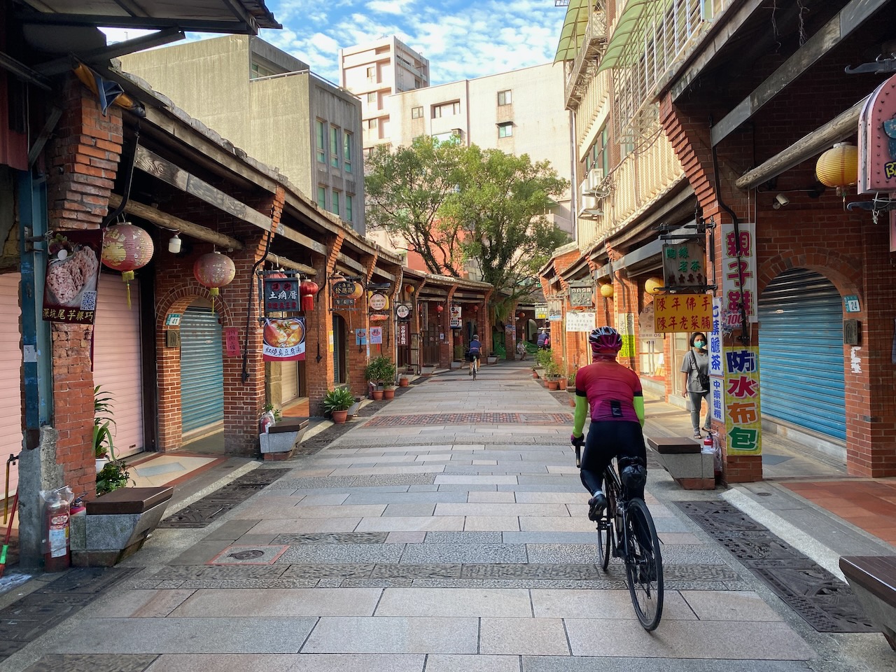
1日目:松山駅(台北)から新竹県へ
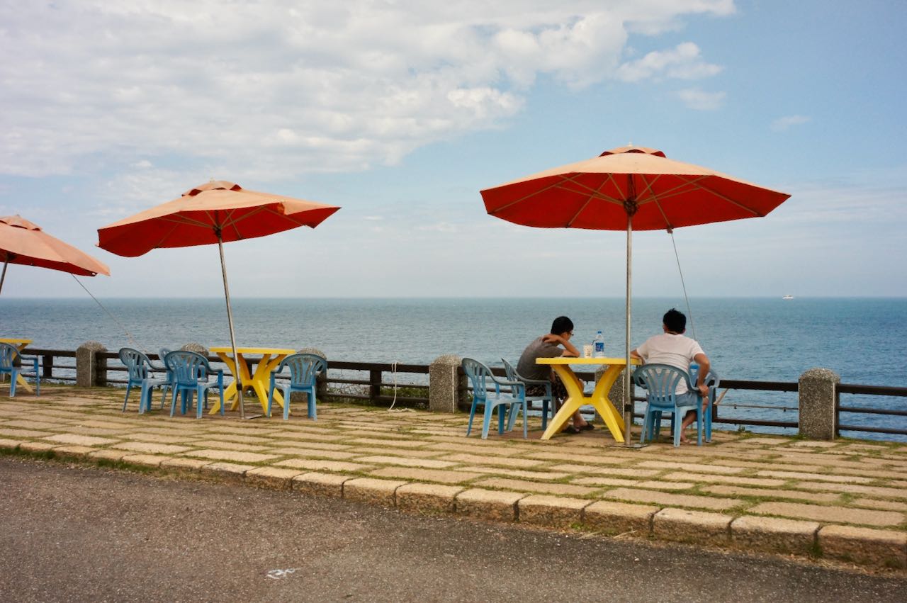
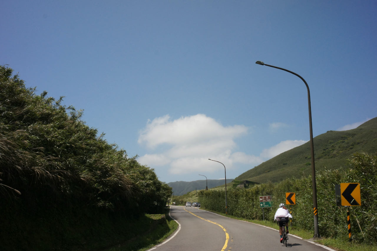
河川に沿って進んで行き、桃園を経由した後簡単な山登りを終えれば、西海岸の新竹に到達します。(もし海岸沿いをサイクリングしたい場合は、この投稿の1日目を参照してください)
https://www.bikeexpress.com.tw/2022/cycling-around-taiwan-in-multiple-stages-1/#day1)
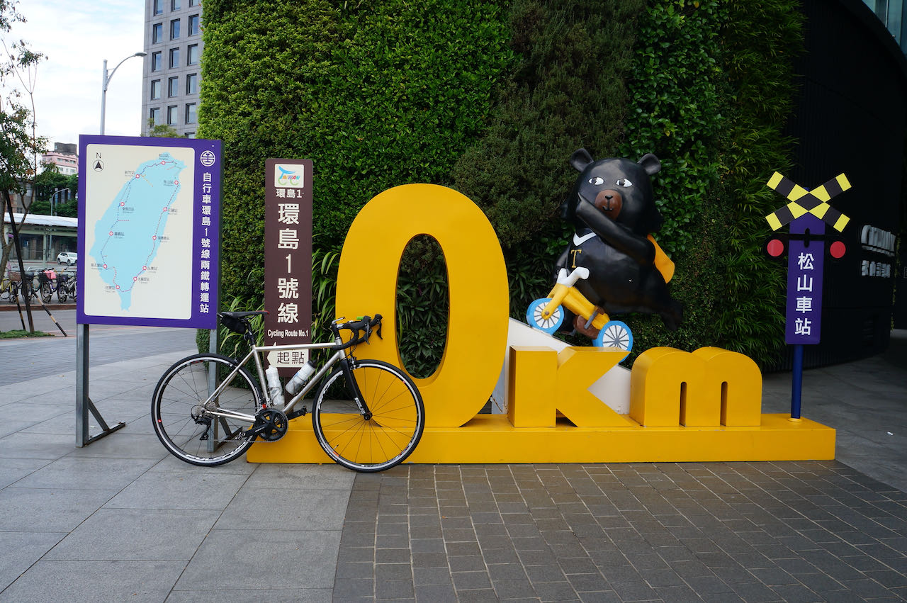
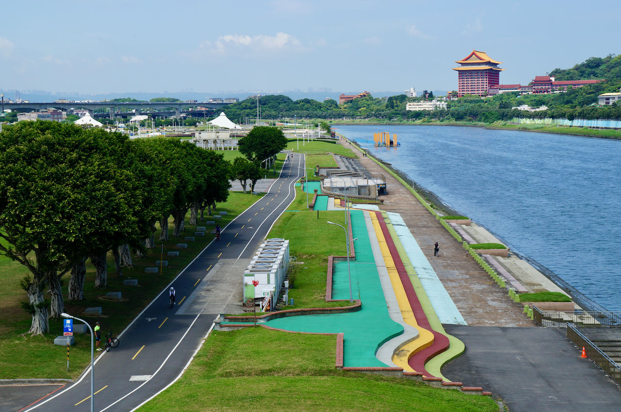
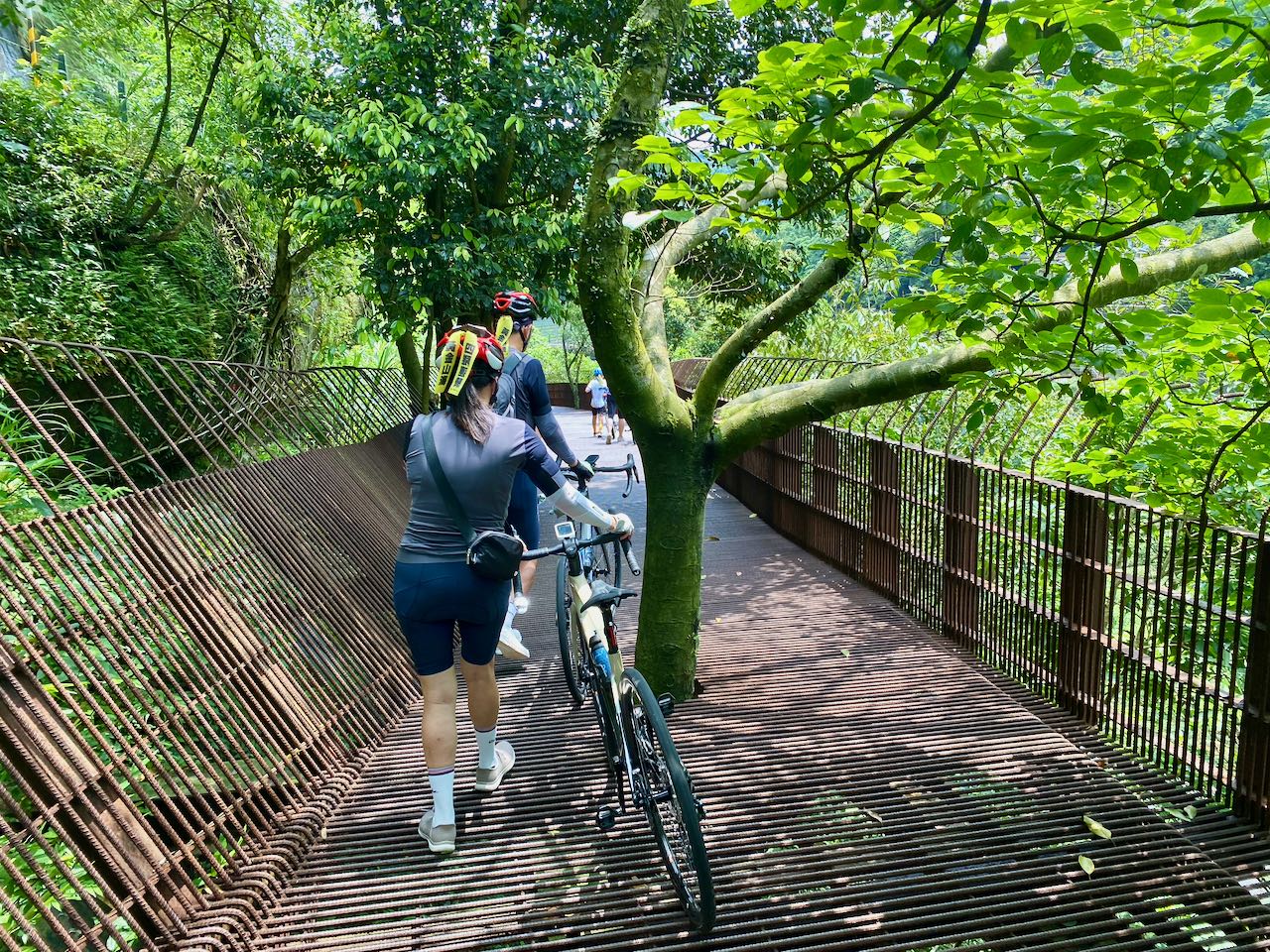
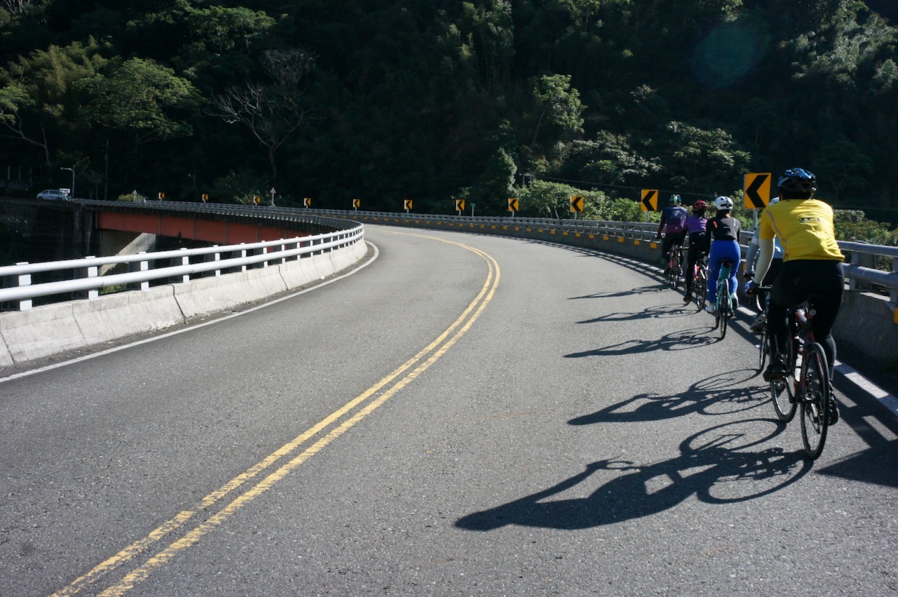
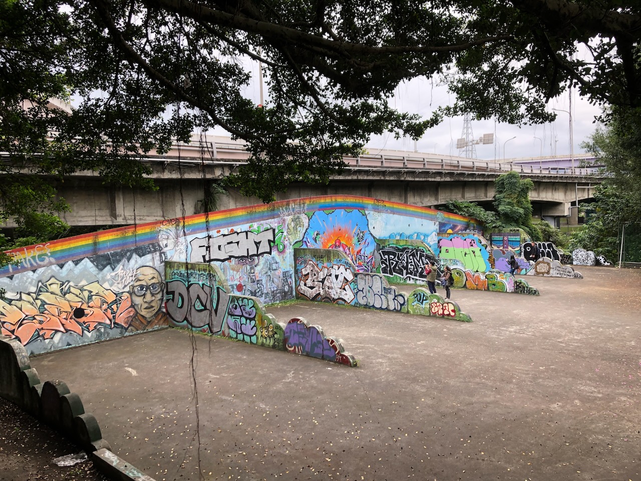
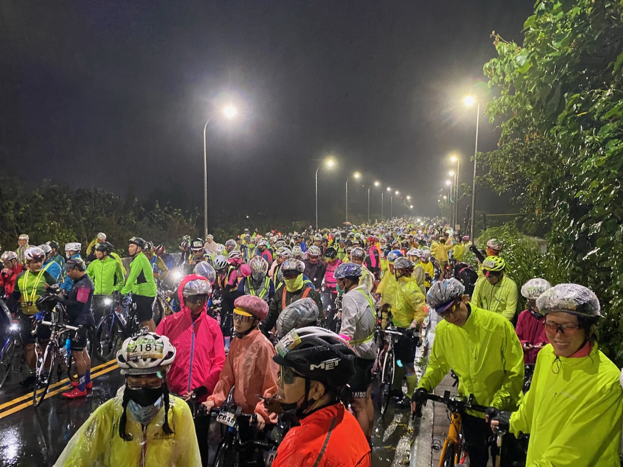
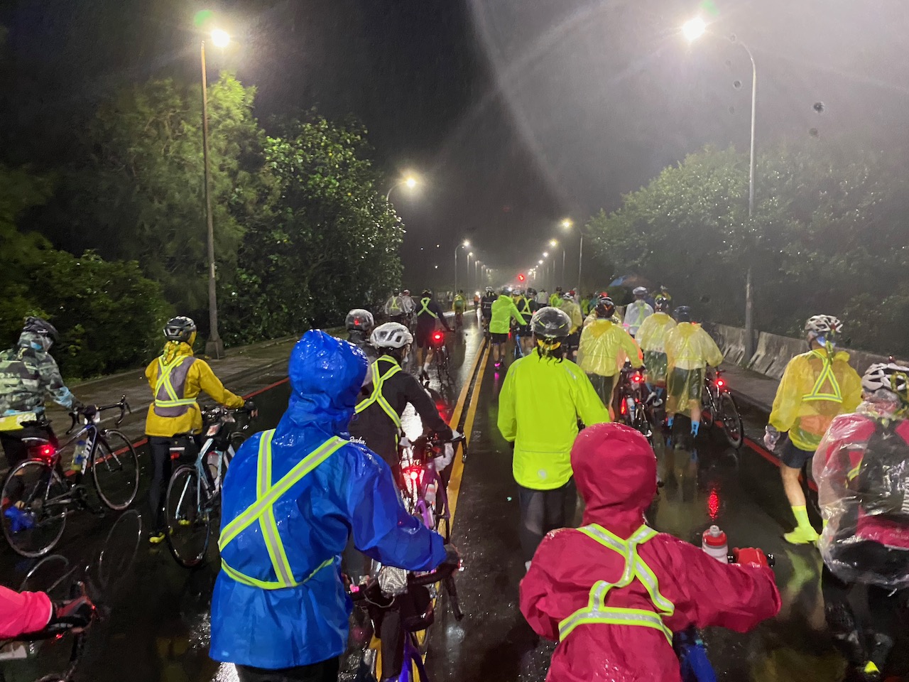
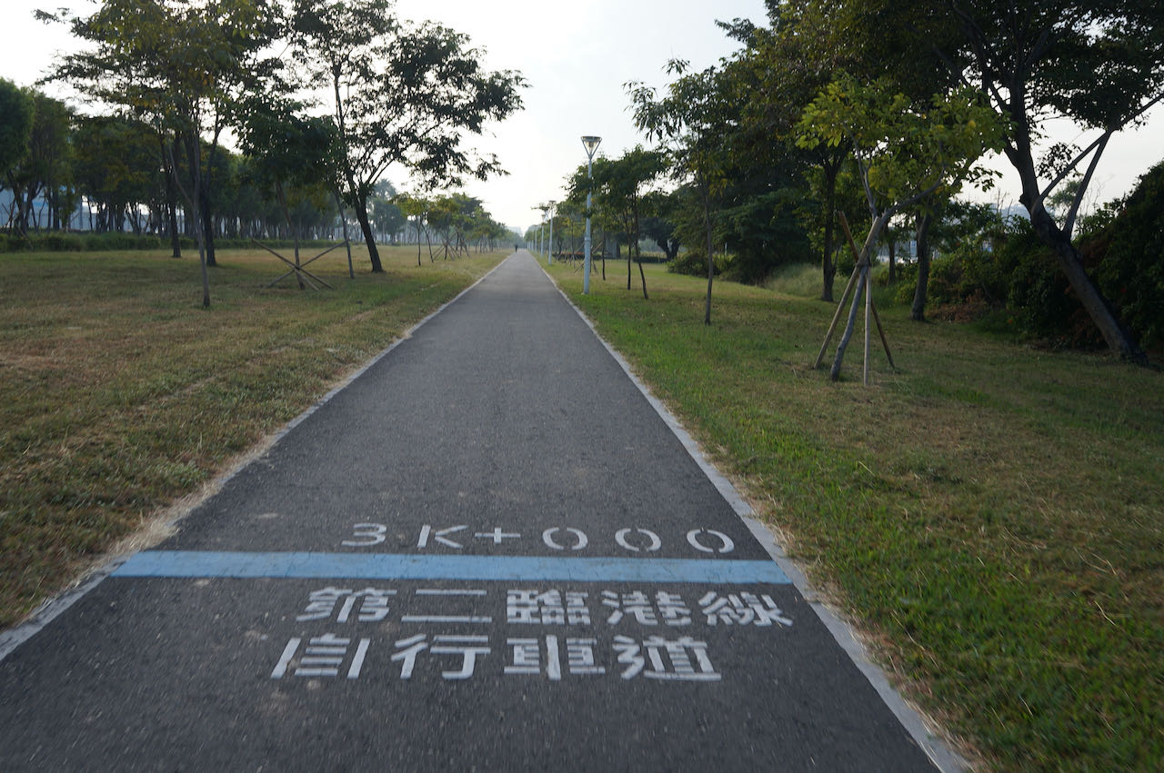
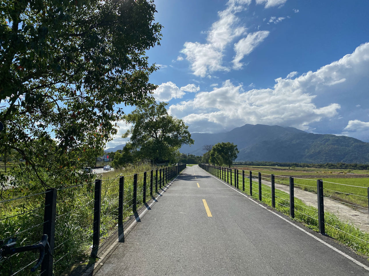
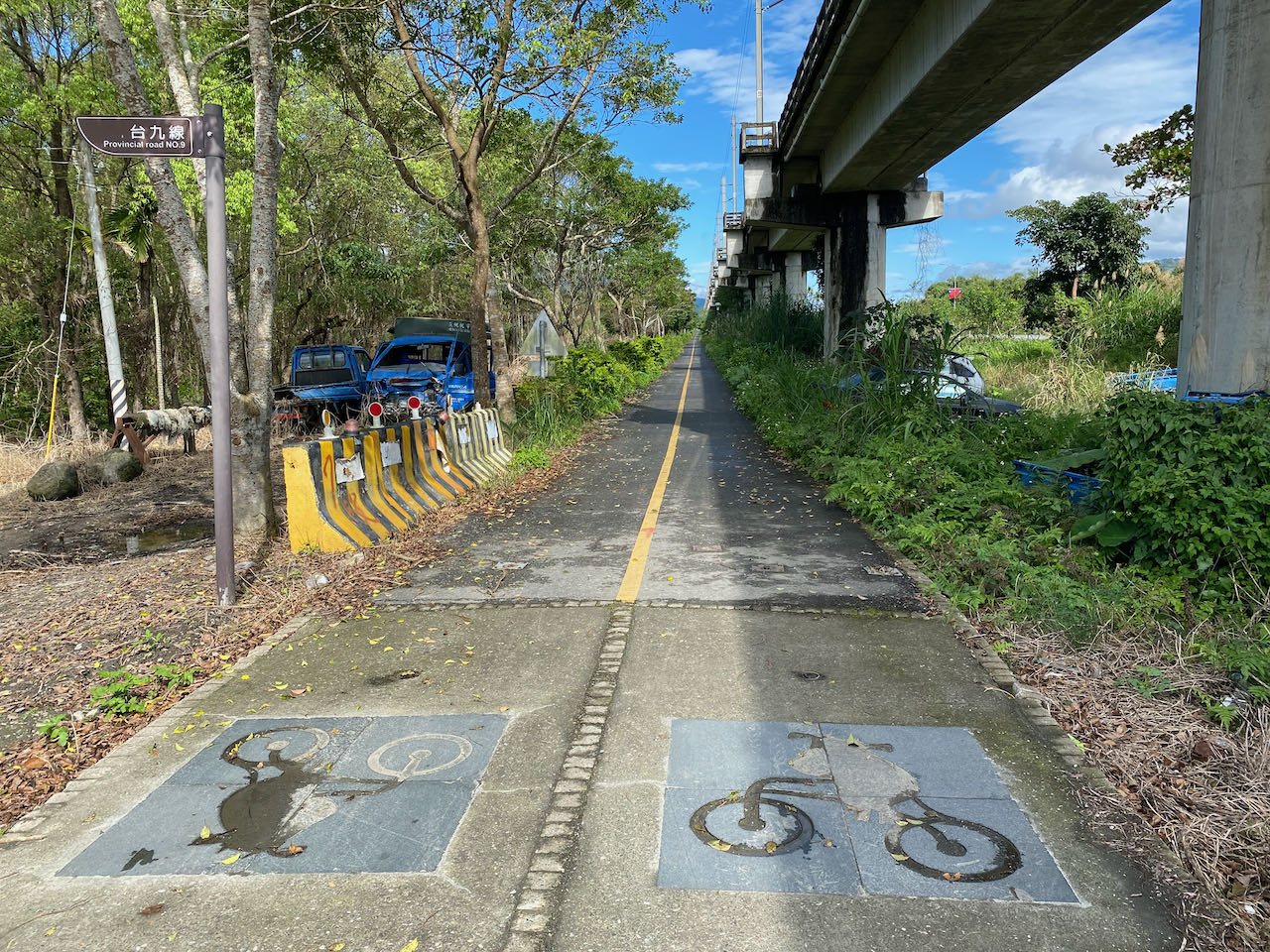
環島1号線は松山駅から正式に始まります。公式ルートは、南京東路(ナンチントンルウ)を通り、台北を横断するように案内しています。そこから、大稻埕埠頭(ダーダオチェンマートウ)広場を経由して静かな河沿いの自転車道に入り、信号のない専用自転車道を20kmほど通って市の郊外へと抜けていきます。市外に出ると自転車道が車道と合流することになりますが、交通量が少ないので快適です。しかし、(市内では特に)信号が多いので快適なサイクリング体験が妨げられるかもしれません。
私たちは河沿いの自転車道をできるだけ多く利用し、信号による中断を最小限に抑えることを目的として、この代替ルートを考案しました。西海岸の前半にあるよく整備された自転車道は安全で、自転車のセットアップに慣れるのにピッタリな環境を提供してくれます。南京東路ではなく、饒河(ラオホー)避難門を通じて河川自転車道に接続するため、台北市内をよりスムーズに通過できること、間違いなしです。公式ルートは三峡に到達した時点で省道3号(省道は日本でいう一般国道)に向かうよう指示していますが、この代替ルートは専用自転車道をさらに20km走った後で、三坑で公式ルートに合流します。
公式ルート(青色):
- Garmin: https://connect.garmin.com/modern/course/33694647
- Velodash: https://cx6sm.app.goo.gl/aJep
- komoot: https://www.komoot.com/tour/1023067712
代替ルート(緑色):
- Garmin: https://connect.garmin.com/modern/course/178174821
- Velodash: https://velodash.page.link/SRHr
- Komoot: https://www.komoot.com/tour/1288404847
ルートのご利用方法
紹介したルートを使用するには、アプリのインストールが必要です。スマートフォンのブラウザで上記のリンクをタップすると、アプリが自動的に起動してルートを読み込みます。Garmin Connectの場合、アプリを使用してルートをGarminデバイスに登録できます。台湾で購入したGarminデバイスではない場合は、デバイスに台湾地図がインストールされていることも確認する必要があります。Garminデバイスのご利用方法を説明した当社のブログ投稿もこちらからご覧いただけます。
2日目:新竹県から彰化市へ
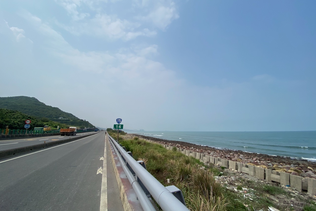
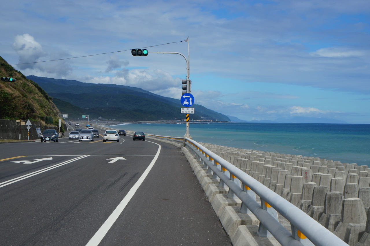
二日目は海岸沿いを真っ直ぐに南下します。信号が最小限に抑えられた、長く平坦な区間を走れるので、途切れることのないサイクリングを楽しむことができるでしょう。西海岸を一日かけて探索し、壮大な海の景色を味わってください。
2日目の最後の20kmでは、公式ルートは西海岸から内陸部に向かって進んでいきます。公式ルートの旅程では3日目から4日目にかけて、市街地が続き交通量の多さが目立ちます。この長距離区間を中断されることなく進みたい場合は、台北から高雄まで1日で行くルートが、今説明している旅程の2日目から4日目(新竹ー高雄間)にはより適しています。このルートを宿泊する町を決めた上で2,3日に分けて進むことをお勧めします。次に示すルートが西海岸の自転車旅の一例です:
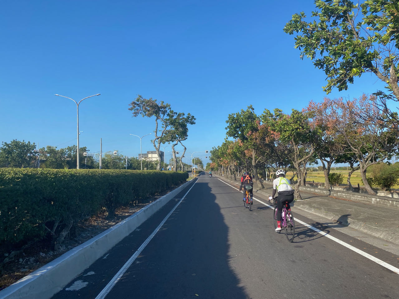
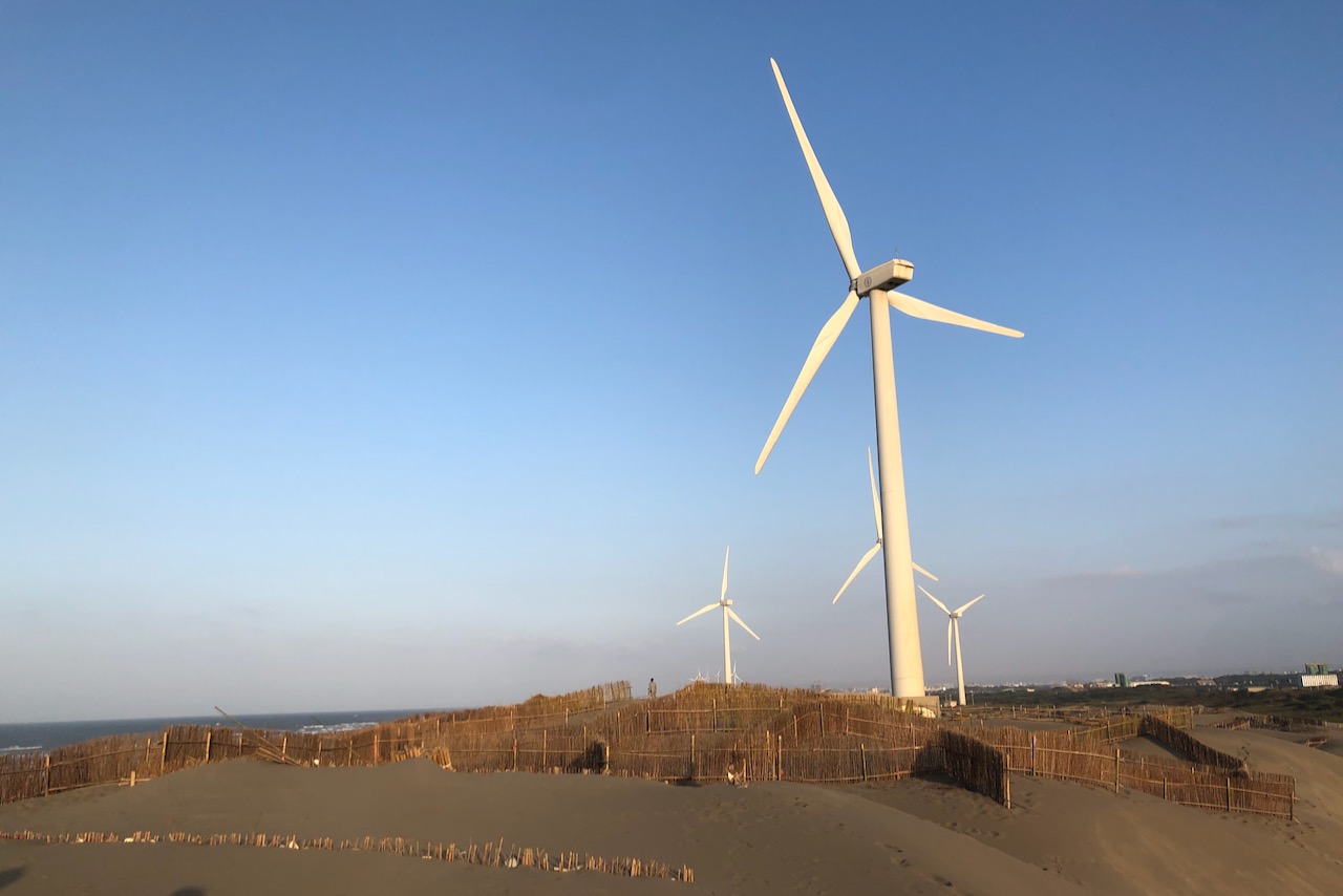
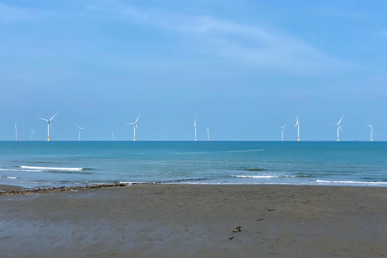
新竹は、台湾海峡の最も狭い部分の島の西端に位置しています。北風が主流となる期間(9月~2月)には、この海峡を風が通過する際にはベンチュリ効果(流体の流れを絞ることでその流速を増す効果)により激しさを増します。故に、新竹はその強力な風で有名であり、時に悪名高い場所になっています。特に秋から冬にかけては、沿岸を押し進める風が私たちのサイクリングを応援してくれます。6月から8月にかけては風向きが変わりますが、風力はそこまで強くはありません。
この西海岸の区間にはまるで絵のように美しい自転車道が数多くあります。主要道路にのみ固執してしまうと、それを見る機会を逃してしまいかねません。そこで、いくつかの迂回路を含んだ代替ルートを作成しました。このルートは、皆さんをより静かで日陰の多い海岸線へと導きます。ただし、特に休日は道が狭いため混みやすく、主要道路上を進むよりもペースがやや遅くなる可能性があります。この迂回路は走行距離が合計20km分増えますが、総上昇高度は665mから320mに減ります。また、もし明るいうちに彰化市へ到達するのが困難になった場合は、台中市梧棲区のホテルで一泊することをお勧めします。これなら翌日の高雄までのルートを短くする(85km)ことができます。
公式ルート:
- Garmin: https://connect.garmin.com/modern/course/33696699
- Velodash: https://cx6sm.app.goo.gl/Lcwx
- komoot: https://www.komoot.com/tour/1023070071
代替ルート:
- Garmin: https://connect.garmin.com/modern/course/178574856
- Velodash: https://velodash.page.link/hWr7
- Komoot: https://www.komoot.com/tour/1288582333
3日目:彰化から嘉義へ
このルートの前半では内陸部の町を巡り、後半では素朴な田園地帯を通ります。
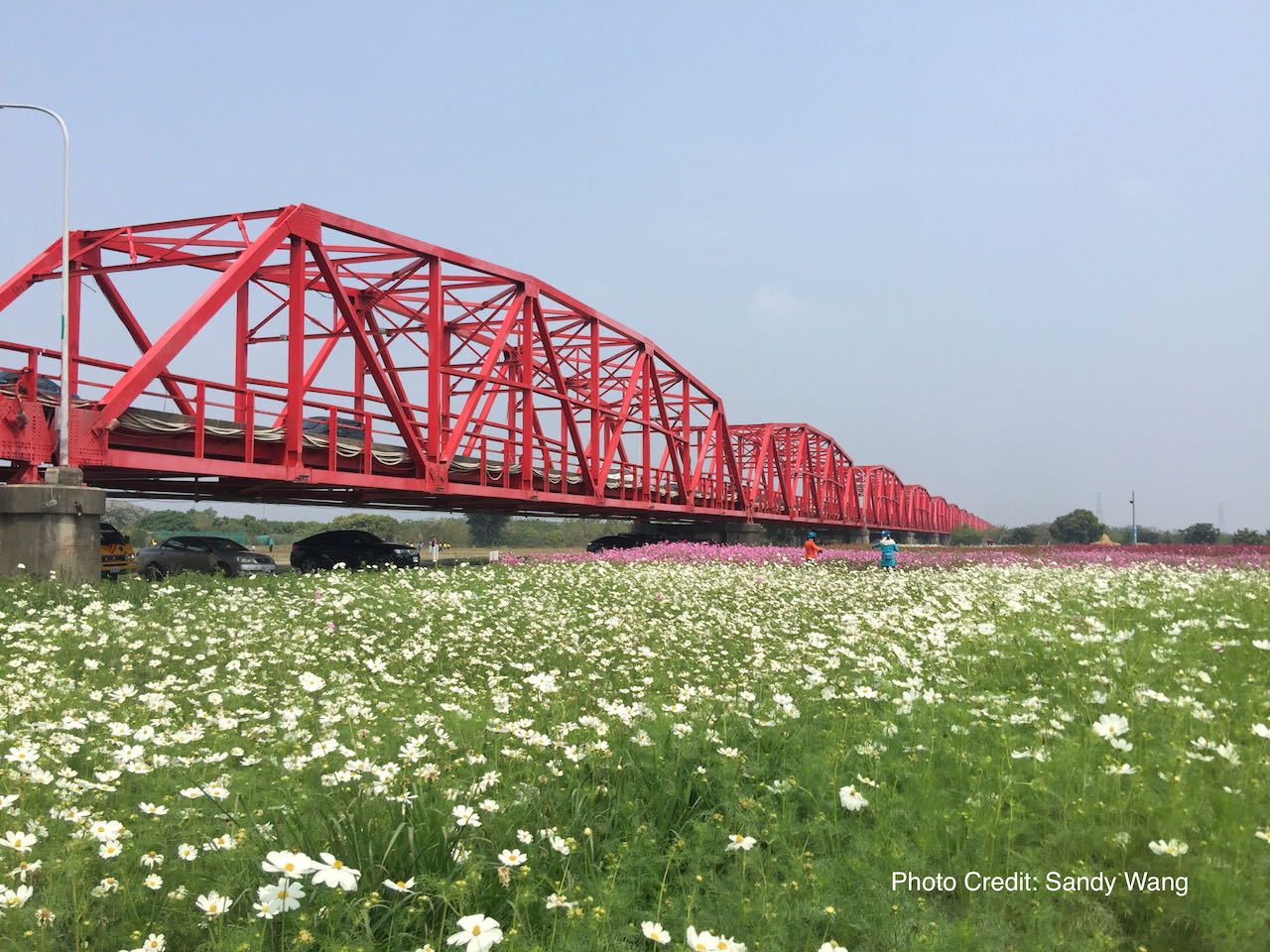
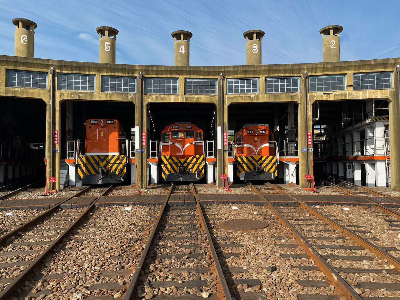
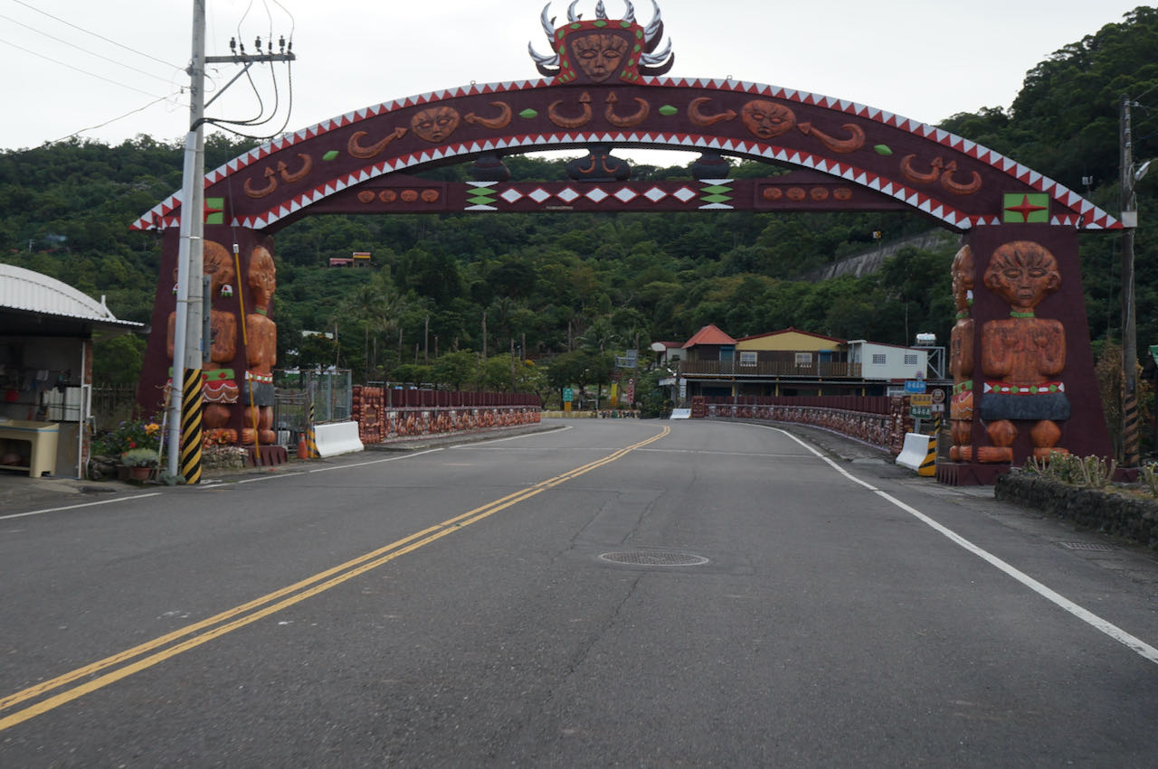
台湾本島の南部地域は、北部には比べ物にならないほど広大な平野を誇ります。丘陵に近い地域を進んでいくにも関わらず、80km進んだ時のの獲得標高はたったの301mです。最初の35kmは、花壇、員林、永靖、北斗、溪州の5つの郷(日本の市町村=市鎮郷)を通過します。道路は広く、スクーターや自転車専用の車線がありますが、散見される信号でペースが乱される事に留意してください。絵のように美しい西螺(セイラ)大橋からはこの状況は幾分かマシになります。西螺大橋は、豊富な農産品で有名な雲林県へと続きます。ルートの後半は素朴な景色が広がるので、より快適なライドになることでしょう。郷を迂回したい場合は、社頭まで電車を利用することができます。(南部は車の運転が荒いため電車を使う人もいるようです。)もう一つ、彰化を出発する前には、この地域で有名な彰化扇形車庫には忘れずに行ってくださいね。
西螺大橋は現在補修工事のため通行止めとなっており、2026年12月末まで続く予定です。
環島1号線は、日月潭へのサイクリングのオプションルートを紹介していますが、このルートを通るとメインルートに合流するために、もう1,2日必要になります。
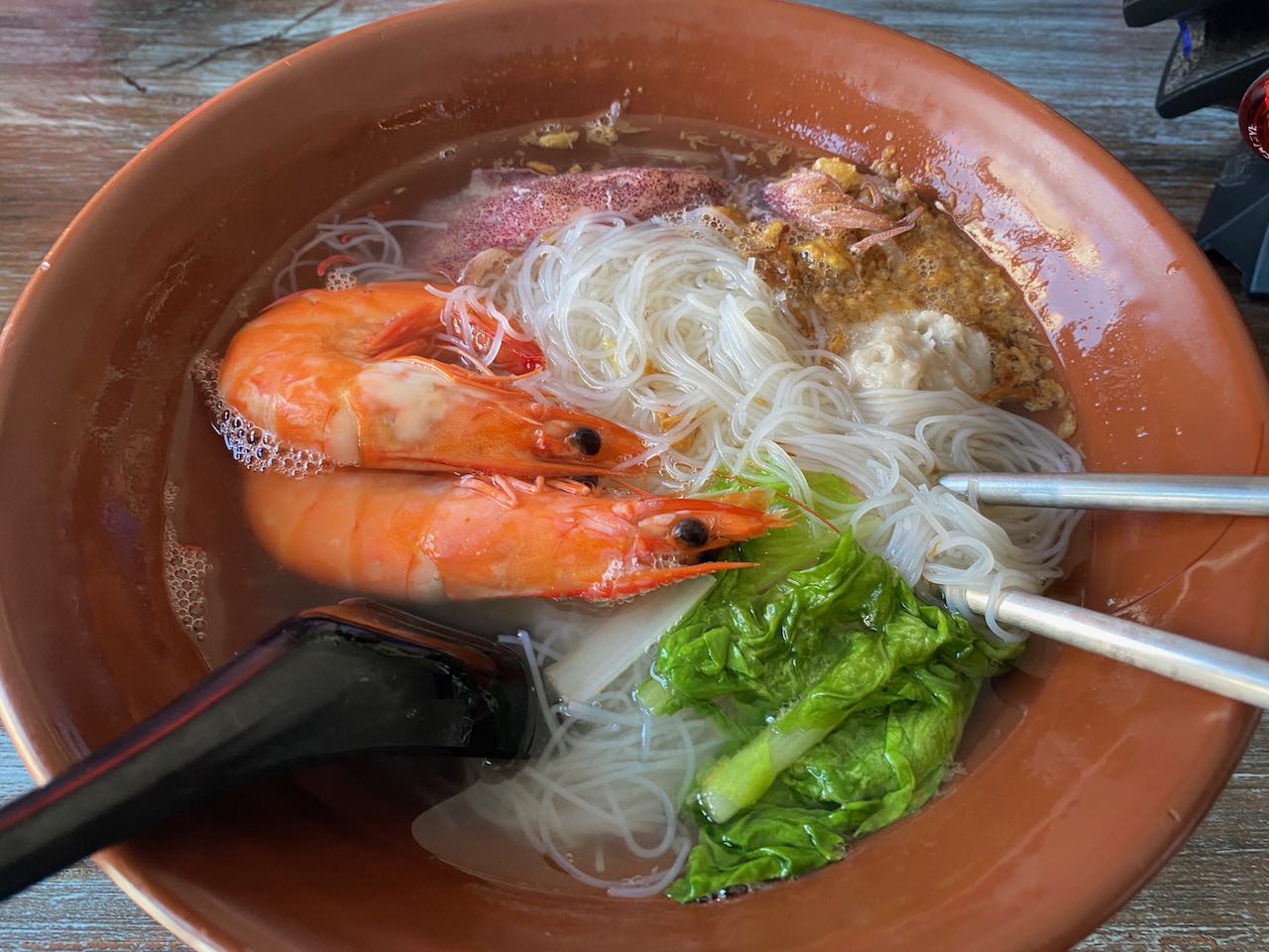
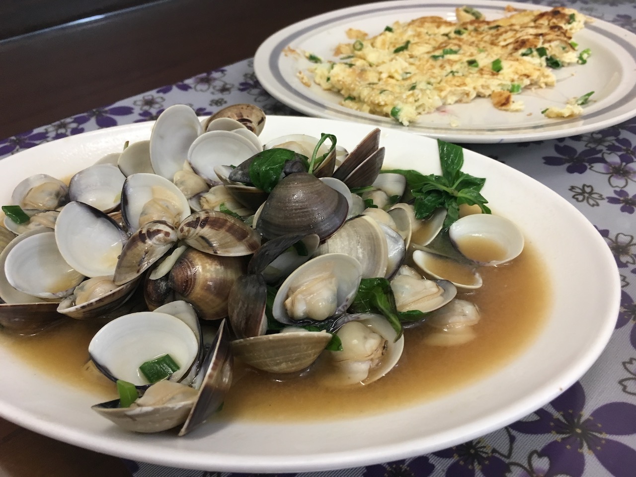
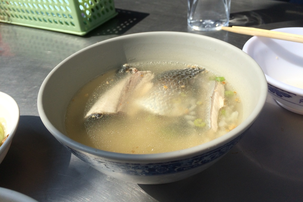
嘉義に到着したら、Netflix の「ストリートフード:アジア」で紹介された魚頭スープで有名なレストランを訪れることを検討してください。
公式ルート:
- Garmin: https://connect.garmin.com/modern/course/33697615
- Velodash: https://cx6sm.app.goo.gl/R2eN
- komoot: https://www.komoot.com/tour/1023071057
4日目:嘉義から高雄へ
台湾の広大な嘉義-台南平野(別名:嘉南平原)を通り、台湾第三の都市である高雄に到着するのんびりとしたライドを楽しみます。
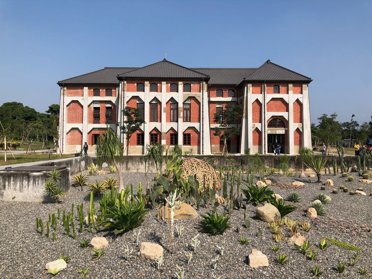
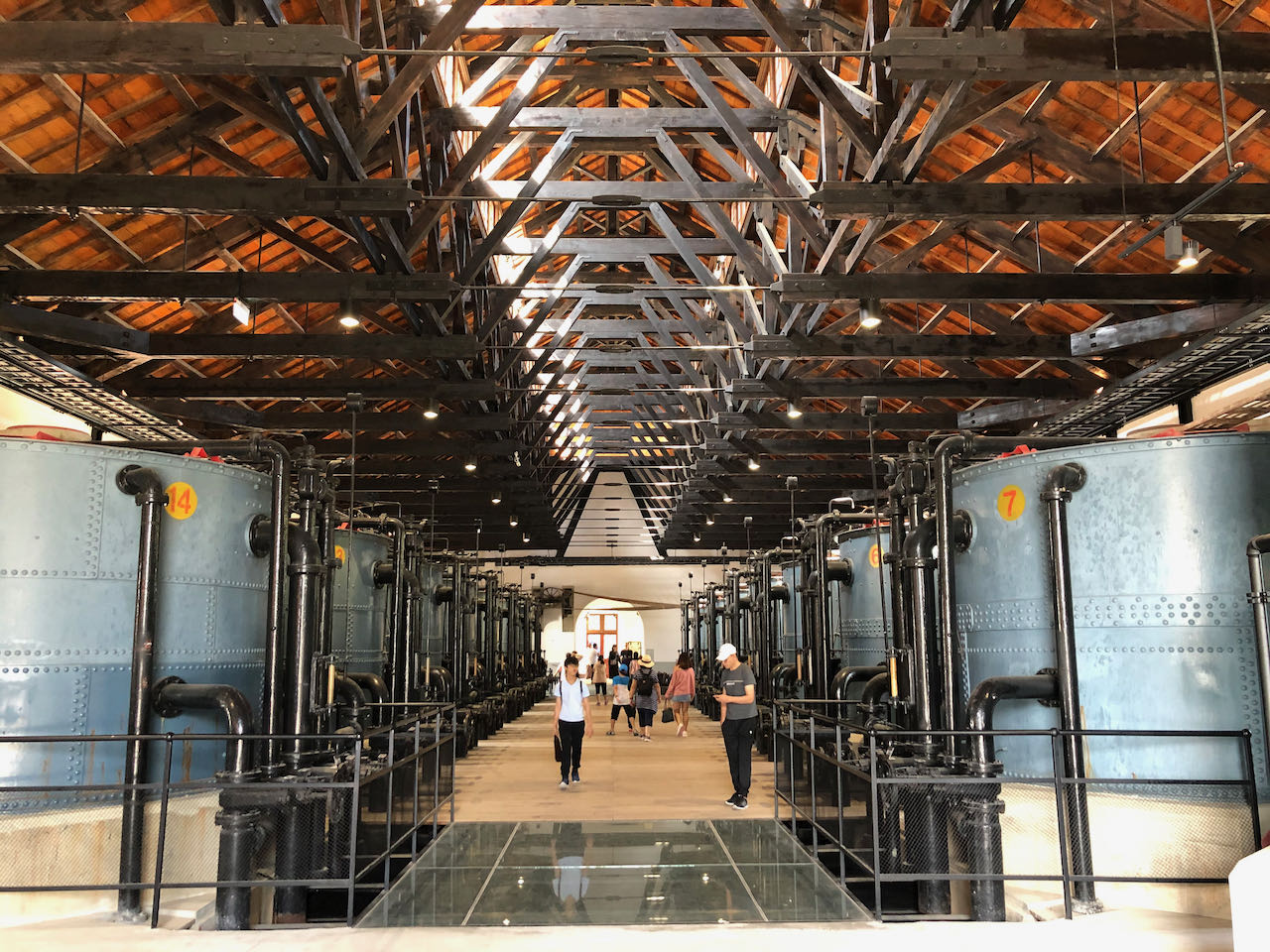
100kmに及ぶこのルートの総上昇高度は725mになります。道は広々としており、遅行車線のおかげでより快適に進めることが特徴です。途中で市街地を通過することは少なく、全体を通じて風光明媚な田園風景を楽しむことができます。順調に進んでいる場合は、台南の山上區にある旧水道博物館に寄ってみることも検討してみてください。日本統治時代に建設されたこの歴史ある水処理プラントは、公式ルートより3km多く走るだけで行けるので、是非訪ねてみて下さい。ちなみに、この荘厳な博物館を探索するには最低でも1時間はかかるとみて良いでしょう。
そのまま進み、新化老街を抜けると、道は高速鉄道の下を走ります。大湖駅を過ぎると、通過する町々は徐々に混み合い、大きくなり、気付けば高雄の楠梓区に到着しています。公式ルートはここで終了しますが、ホテルがより多く、翌朝の通勤渋滞を避けることもできるので、4日目のうちに街の中心部まで入っておくことをお勧めします。5日目の旅程の詳細については後述します。
公式ルート:
- Garmin: https://connect.garmin.com/modern/course/33760231
- Velodash: https://cx6sm.app.goo.gl/zZMg
- komoot: https://www.komoot.com/tour/1023072957
代替ルート:
- Garmin: https://connect.garmin.com/modern/course/180286683
- Velodash: https://velodash.page.link/QTCA
- Komoot: https://www.komoot.com/tour/1288653797
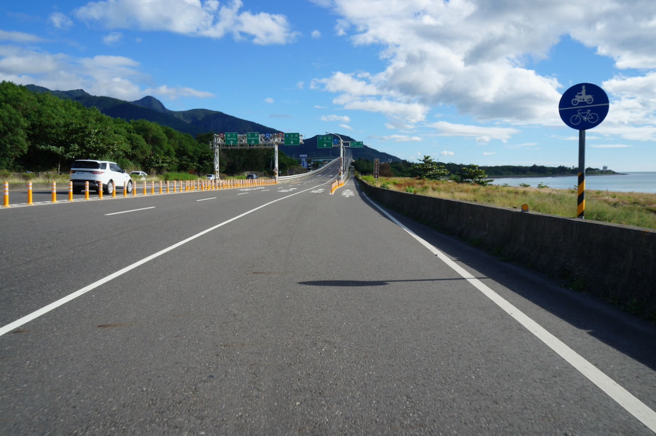
5日目:高雄から屏東の車城へ
高雄を出発し、島の最南端に位置する屏東県を目指すサイクリングが始まります。これにより、西海岸の探索が終了します。
高雄は台湾の主要都市の一つでとても混雑します。そこで、高雄に詳しいサイクリスト仲間に、大都市の中をスムーズに移動するためのアドバイスを求めました。高雄在住のVivian Wong氏は、楠梓區に宿泊している方に向けて、小港駅へのMRTの利用を提案しています。これにより混雑している地域を効果的に迂回できます。MRTの運行時間中はいつでも、自転車を乗せることができます。自転車一台分の運賃は、NTD 60です。逆に自転車での移動を好む場合は、Vivianは県道186号を東に進み、その後省道29号へと移行して南へ向かうルートを提案しています。このルートは仁武區通過後の混雑を回避でき、信号も少ないです。また、もう少し傾斜のある道に挑戦したい方には、県道186甲がオススメです。Wong氏から提案されたルート(県道186号を通る)はこのセクションの終わりにあります。
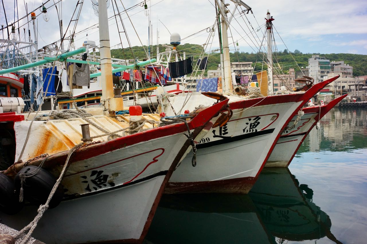
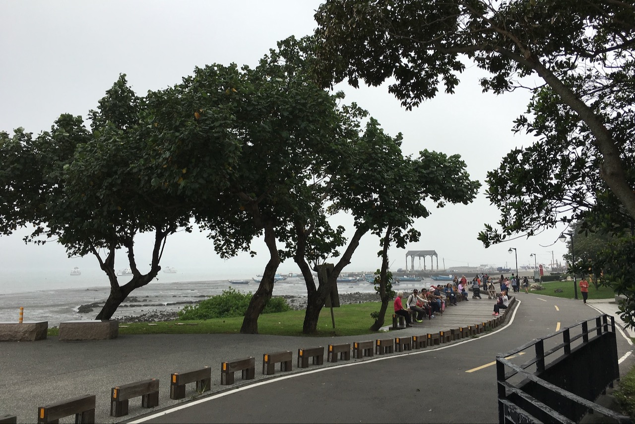
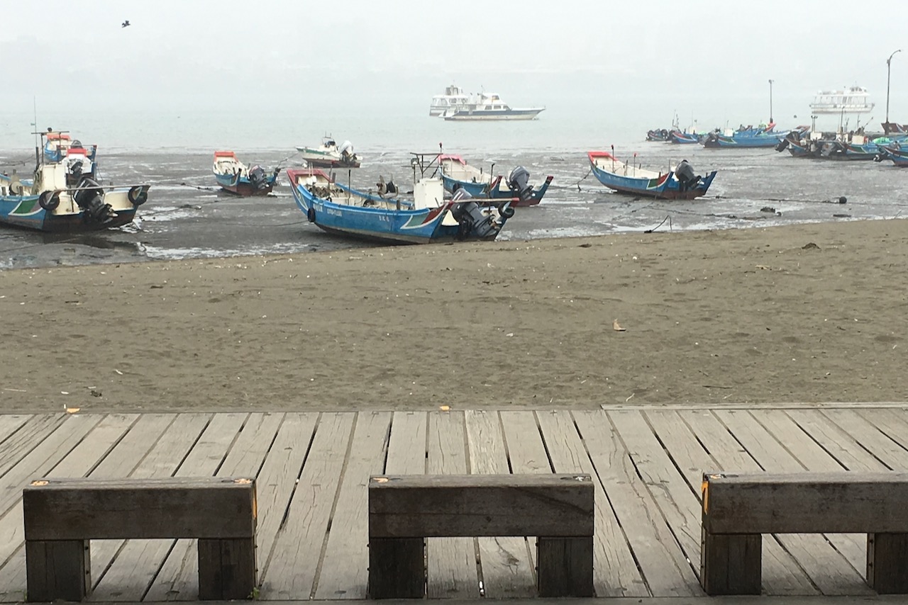
また、著名なサイクリングライター兼VloggerのEddie Chen氏は、市中心部に近い高雄駅周辺での宿泊を推奨しています。地元の人々の多くが仕事のために市中心部に向かうため、朝に反対方向へ進めば道は混み合っていないからです。さらに、Eddie氏は鼓山渡船埠から旗津(きしん)区(高雄港の西側に延びる半島状の砂州)へのフェリーでの迂回も提案しています。これにより、長い島の南端を辿って、まるで絵のように美しい自転車道を楽しむことができます。砂州を抜けると中洲渡船駅から前鎮区へのフェリーを利用した後、市外が見えてきます。砂州の南端のトンネル(過港隧道)では自転車の通行が禁止されている(車のみ可)ことに注意してください。
枋山郷を出発した後、2つのルートが皆さんを待っています:省道9号と県道199号です。これらのルートはサイクリストたちを峠を越えて東海岸に導きます。まず、省道9号への分岐が先に来ます。このルートを進む場合は、楓港での宿泊を選んでください。個人的には、さらに南へ、より多くのホステルやレストランがある車城まで進むことをお勧めします。車城で分岐する県道199号も、特に週末は交通量が少ないため、サイクリングに適しています。
ほとんどの公式GPXルートでは省道9号を案内しています。しかしこの地図では、公式ルートは車城を経由するために若干修正されています。
公式ルート:
- Garmin: https://connect.garmin.com/modern/course/33760721
- Velodash: https://cx6sm.app.goo.gl/Shgo
- komoot: https://www.komoot.com/tour/1023073879
代替ルート:
- Garmin: https://connect.garmin.com/modern/course/184926037
- Velodash: https://velodash.page.link/oDCN
- komoot: https://www.komoot.com/tour/1289825925
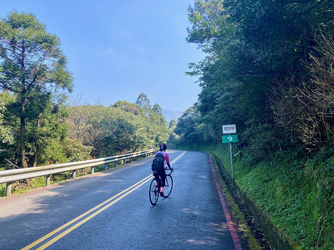
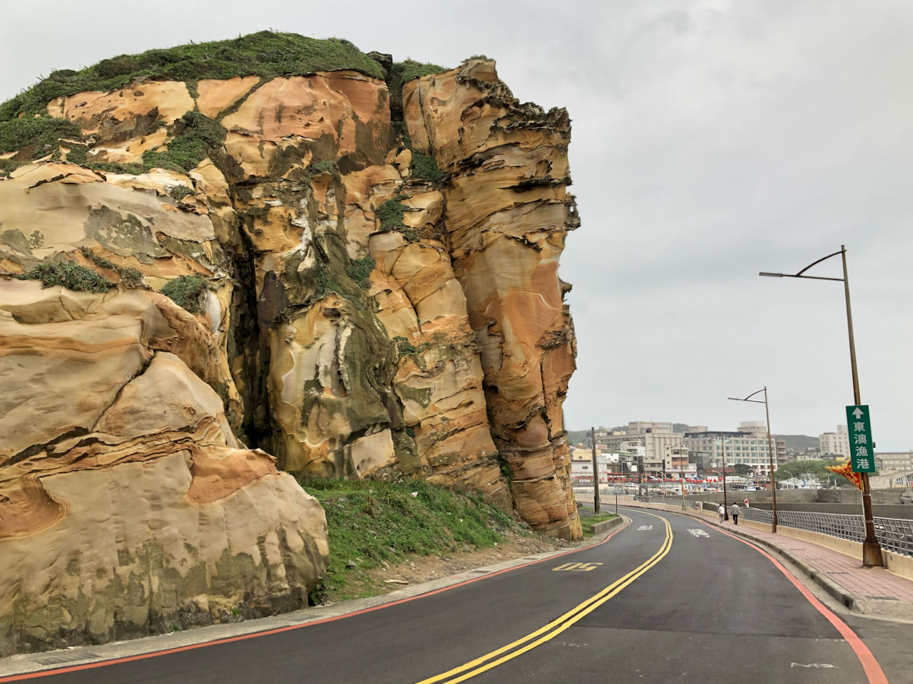
6日目:屏東県から台東県へ
壽卡鉄馬駅の峠を越えて、美しい東海岸へ駆け降りる。
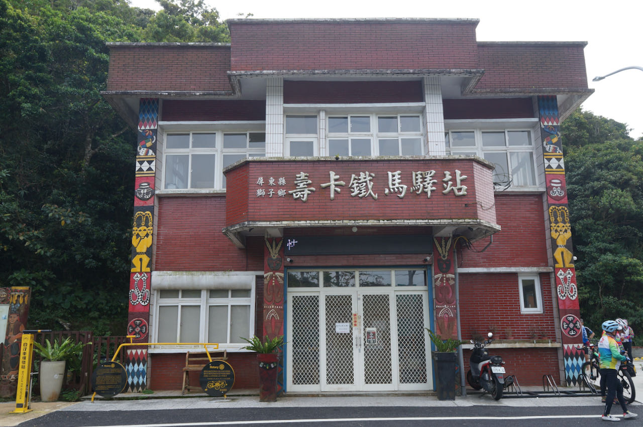
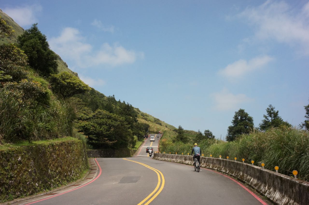
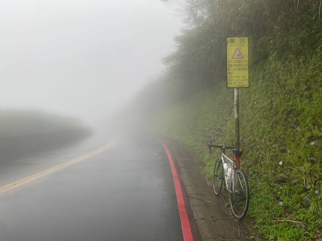
今日は、西海岸から東海岸への移動の日です。車城から県道199を使って壽卡まで登り標高450mに達する、挑戦的な道のりになります。ピークに到達した後にもいくらか上下移動があり、総累積上昇は1300mになります。県道199は、勾配が穏やかな静かな道です。ルートに沿って進むと、台湾に16ある先住民族の一つであるパイワン族の集落に遭遇します。レストランや店舗もこのルートに沿ってアクセスできます。もし通過したタイミングに閉まっていた時は、牡丹の7-ElevenやHi-Lifeなどのコンビニで、必ず食料と水を補給してください。
峠を登り終えると、達仁から台東へのルートに沿った碧い太平洋の壮大なパノラマビューとともに、スリリングな下り坂がご褒美としてあなたを待っています。峠から東海岸までは100mばかりの登りが残っています。小さな町に到着したら休憩を取り、補給をしてください。
この先もクラシックな9日間の旅程に従って、花東縦谷を目指して国道9号に移ります。宿泊施設を探す場合は、知本や卑南の温泉ホテルへの滞在も検討してください。台東市に泊まりたい場合は、最短ルートの省道11号に切り替えてください。強い向かい風に見舞われた場合は、金崙や太麻里といった町に立ち寄って一息つくのも良いでしょう。
ご注意ください
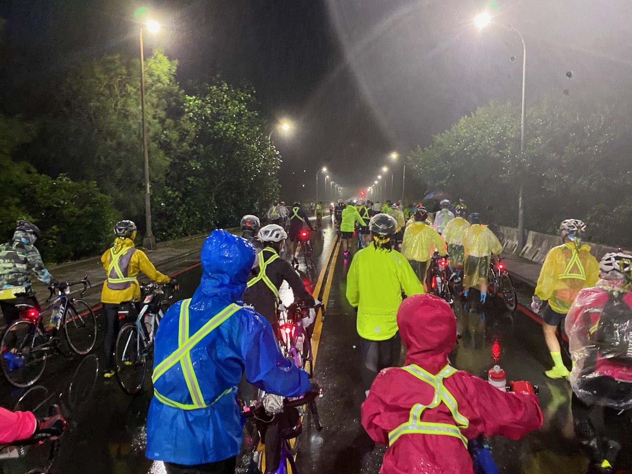
6日目はより難易度の高い日とされています。壽卡(ショウカ)までの上り坂は、いわば前菜のようなものです。南迴公路は景観が非常に美しい一方で、北東の季節風をまともに受ける全開のルートであり、いくつかのアップダウンもあります。この時期は向かい風の中を走ることになるため、体力を消耗しやすいでしょう。
もし時間に余裕があれば、金崙(ジンルン)など沿線の小さな村に一泊する計画を立てるのも良いでしょう。
列車情報
- 大武駅から台東駅まで、自転車を袋に入れずにそのまま持ち込める列車は4本のみです。
- 出発時刻は 07:25、08:48、10:50、19:23 です。
- これらの列車は龍溪、金崙、太麻里、知本、康樂の各駅にも停車し、これらの駅からも自転車を袋なしで乗車できます。
公式ルート:
- Garmin: https://connect.garmin.com/modern/course/33815750
- Velodash: https://cx6sm.app.goo.gl/pzK2
- komoot: https://www.komoot.com/tour/1023074748
7日目:台東から花蓮県(瑞穂郷)へ
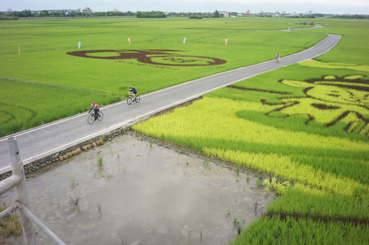
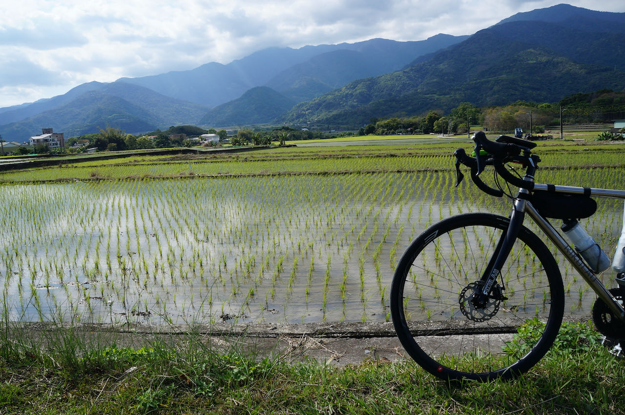
台湾の花東縦谷の景観の美しさを楽しむ、のんびりとしたサイクリングの旅に出発します~。
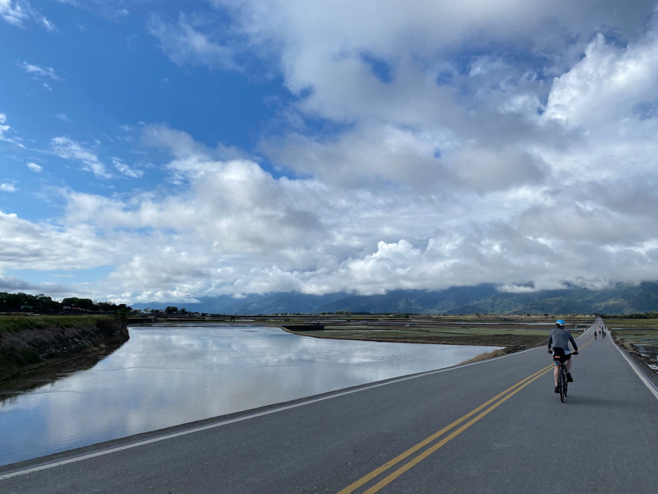
台東から花蓮市へは2つのサイクリングルートがあります:縦谷ルート(省道9号)と沿岸ルート(省道11号)。今紹介しているクラシックな旅程では、補給ポイントや宿泊可能な町が多いため、縦谷ルートを選択することを提案しています。(日本語訳者も同感)また、縦谷は北東の季節風からサイクリストをある程度保護してくれるため、北上が容易になります。
このルートは分かりやすい一本道です。省道を北向きに進んでください。訪れるべき観光スポットは二つ、池上のブラウンブルーバードと、独立自転車道である玉里富里自転車道の出発点となる古い東里駅があります。玉里富里自転車道は省道9号に平行している(そのまま9号を進み続けないよう注意‼)、自転車専用道です。この自転車道を通って、ユーラシアプレートとフィリピン海プレートの接合部(2023年9月18日の地震により一時的に閉鎖、2024年6月6日に再開予定)へと導かれます。これらの観光地と自転車道への迂回ルートは、このセクションの代替ルート1に含まれています。
しかし、自転車道を使わない場合は、自動車やトラックと道を共有しながら高速道路をサイクリングする必要があります。交通量が少ないルートを好む場合、Eddie Chen氏は池上の伯朗大道(Browne Boulevard)を訪れた後、西へ向かい、卓富工業道路(花75)を使って玉里へ向かうことをオススメしています。この道は田んぼの間近な景色が臨めるだけでなく、交通量も最小限です。玉里からは、次のルートで提案されているように、県道193号を通って瑞穂まで到達します。
公式ルート:
- Garmin: https://connect.garmin.com/modern/course/33815817
- Velodash: https://cx6sm.app.goo.gl/akQu
- komoot: https://www.komoot.com/tour/1023075702
代替ルート1:玉里富里自転車道
玉里富里自転車道は、2022年の地震の後、メンテナンスのため閉鎖されています。2024年夏の開放が予定されています。公式ルート:
- Garmin: https://connect.garmin.com/modern/course/189104558
- Velodash: https://velodash.page.link/ViJT
- komoot: https://www.komoot.com/tour/1289828492
代替ルート2:花75 197
- Garmin: https://connect.garmin.com/modern/course/189107564
- Velodash: https://velodash.page.link/wwaA
- komoot: https://www.komoot.com/tour/1289829376
2024年3月に代替ルート2を使用したユーザーのAndrewさんが、花75号と玉里を繋ぐ玉長大橋が封鎖されていると報告してくれました。川を渡るためには、もう一つ別の橋(卓富産業道路)が西側にあります。
8日目:花蓮県瑞穂郷から宜蘭へ
昨日に続いて縦谷に沿った景色の良い旅を続け、瑞穂から新城まで行きます。その後、難易度の高い(路面状況が悪く危険)蘇花公路を迂回するために、蘇澳新駅(蘇澳駅ではない)または宜蘭のさらに北の駅への電車を利用しましょう。
次の表は、自転車を電車に持ち込むことができる電車のダイヤです。切符売り場のあるどの駅でも、大人の運賃の半額で自転車券を購入することができます。電車に自転車を持ち込むには、以下の情報を参照してください。
瑞穂から北上する場合の最短ルートは省道9号を経由する道です。県道193号も良い選択肢ですが、瑞穂を超えるとより丘陵地帯になります。県道193号では63km進み、総上昇高度は700mに達しますが、省道9号では65kmの進度に対して、総上昇高度は半分の314mだけです。花蓮駅に到着したら、新城駅まで自転車で行って電車に乗る必要はありません。宜蘭県の様々な駅への直通電車があります。
電車を利用したくない場合は、挑戦的な蘇花公路に直面することになります。(尚、この道は落石も多く危険なため、蘇花公路は通らなくても台湾一周の証明書は発行できます。)この難路を走るかどうかを判断するための投稿を書いています。蘇花公路を進む場合、前日により多くの距離をカバーし、花蓮市またはそれより北からライドを開始する必要があるかもしれません。
(訳者は記事を読んだ上で雨天だったこともあり諦めました。)
公式ルート:
パート1:総距離 96.77 km | 総上昇高度 348 m | 総下降高度 455 m
- Garmin: https://connect.garmin.com/modern/course/33833447
- Velodash: https://cx6sm.app.goo.gl/2hrk
- komoot: https://www.komoot.com/tour/1023076770
パート2:総距離 14.29 km | 総上昇高度 19 m | 総下降高度 41 m
- Garmin: https://connect.garmin.com/modern/course/33851298
- Velodash: https://cx6sm.app.goo.gl/Gb8i
- komoot: https://www.komoot.com/tour/1023077752
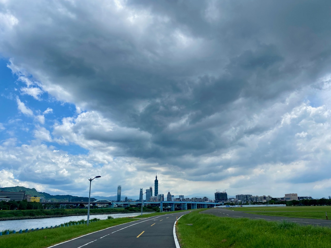
9日目:宜蘭から台北へ
これはクラシックな9日間の台湾一周ツアーの最終日です。私たちは宜蘭を通って台北に戻ります。
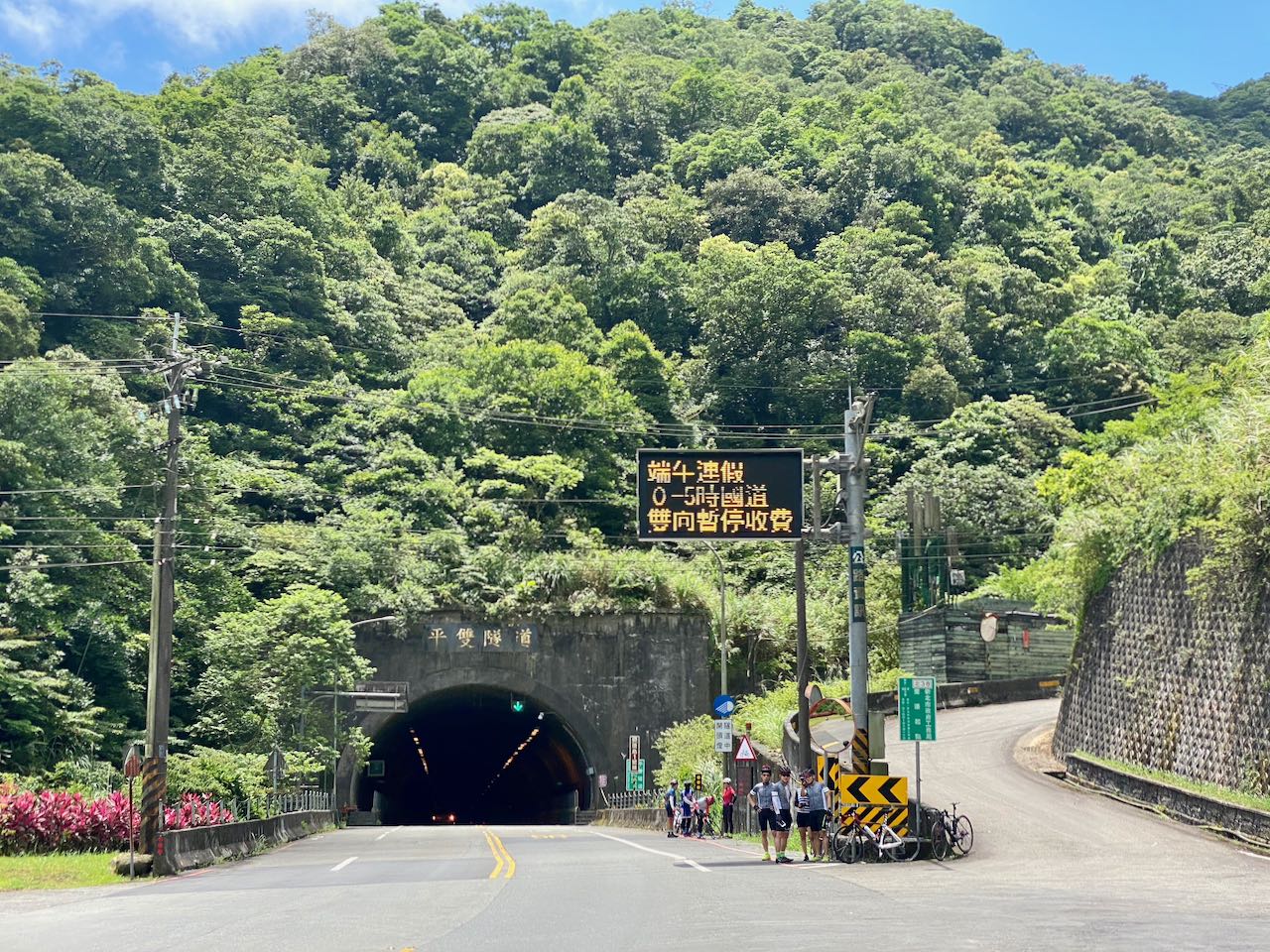
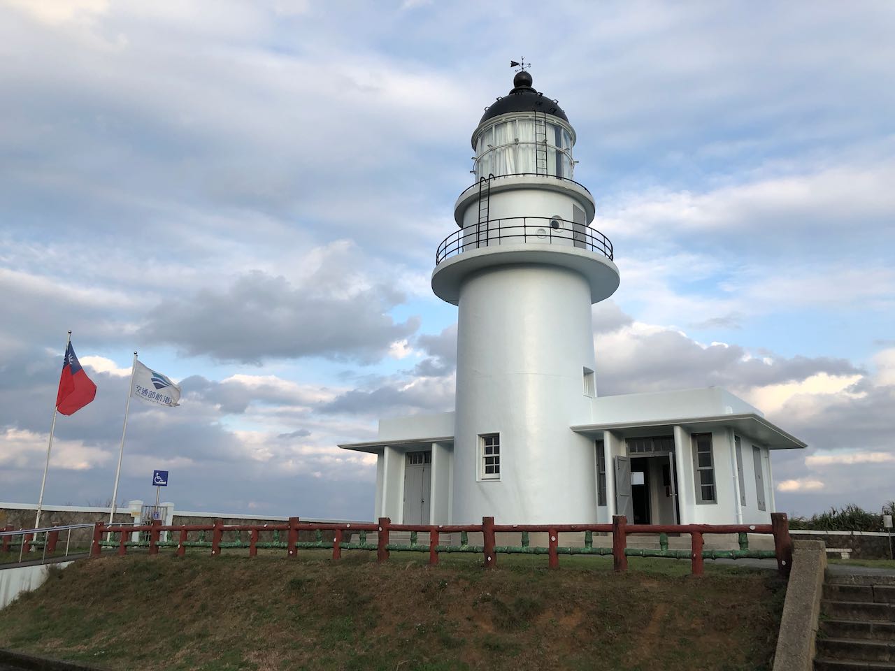
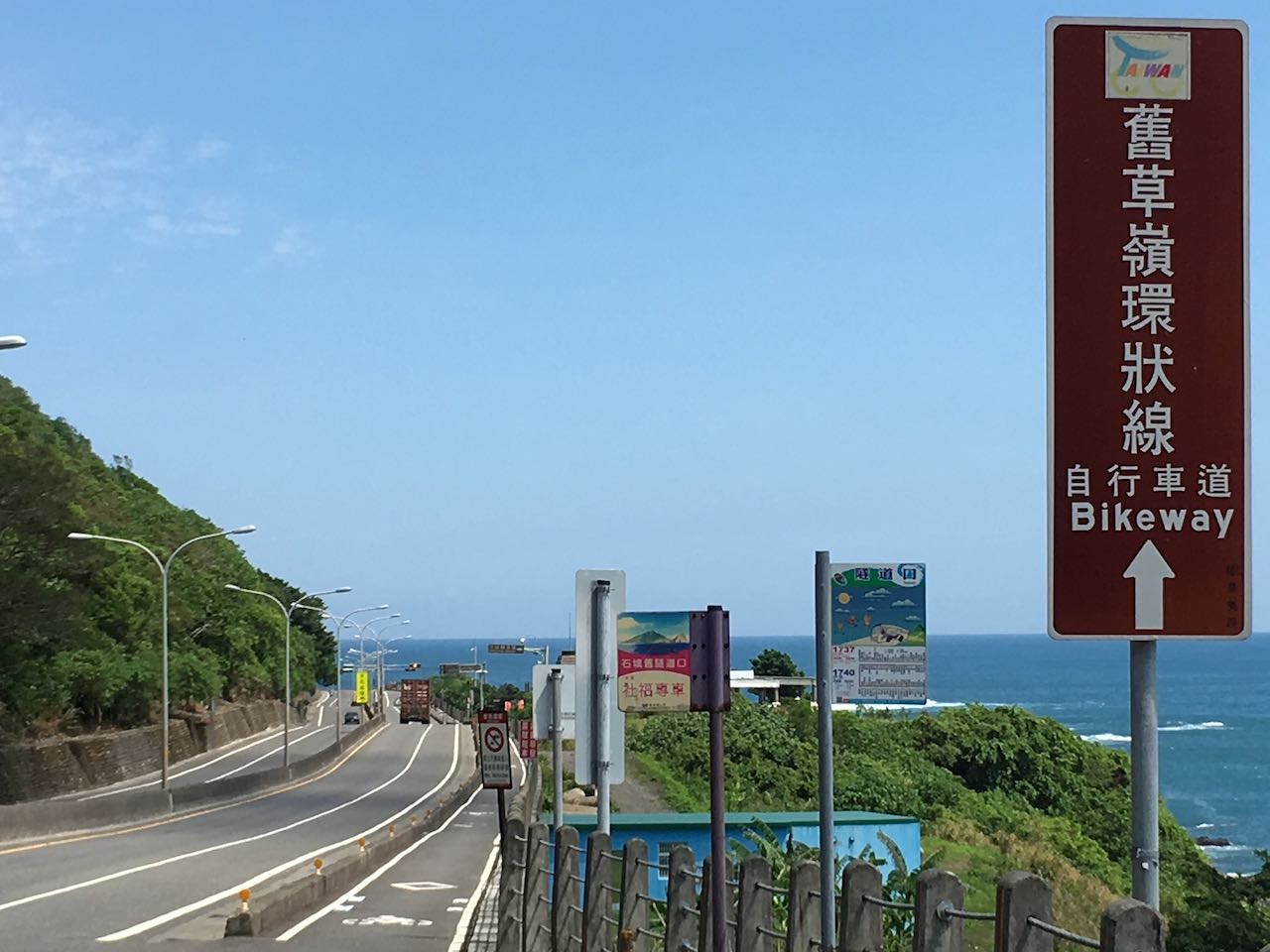
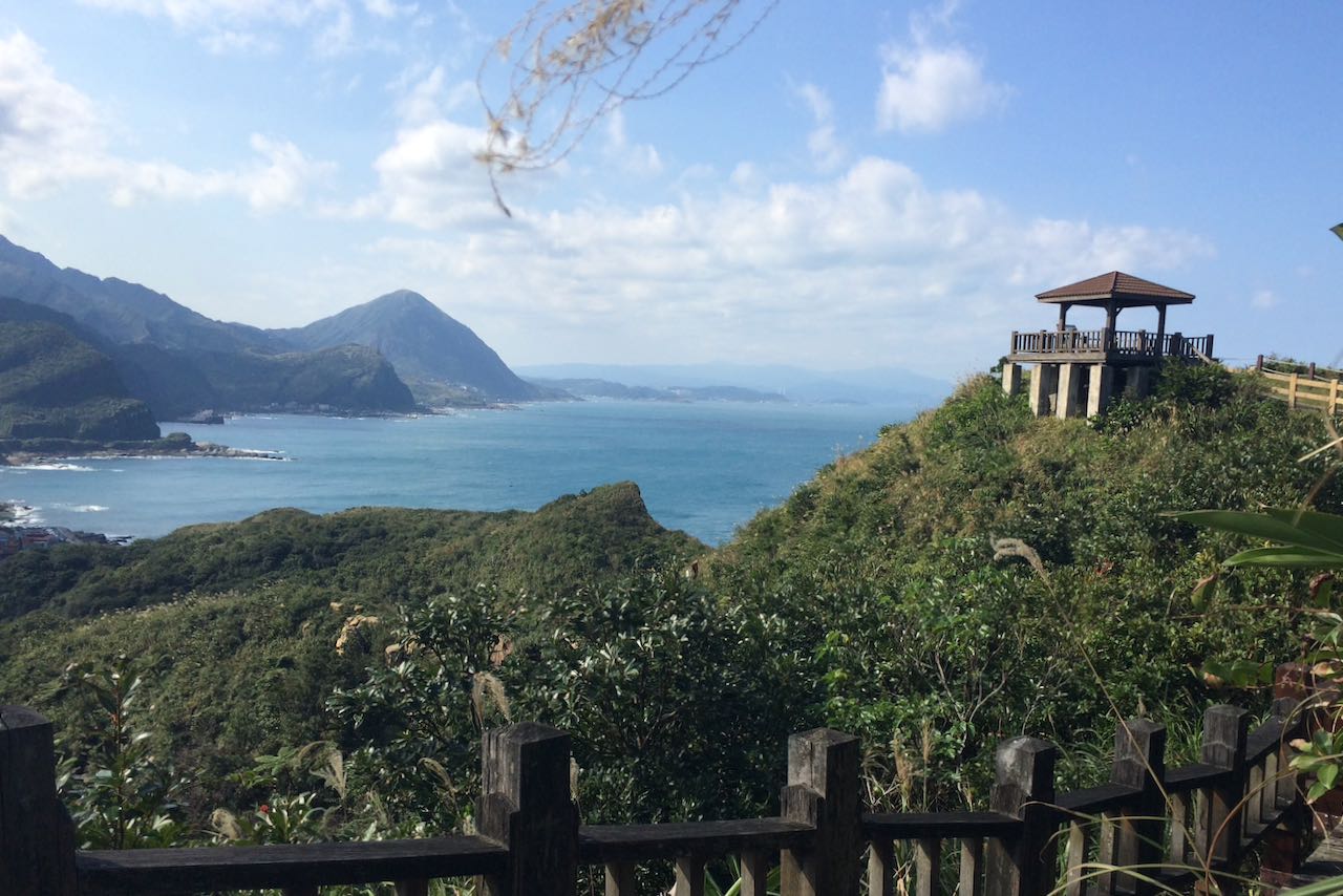
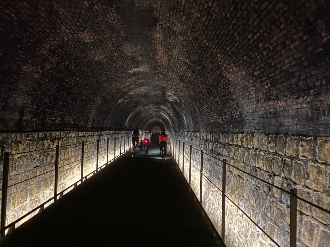
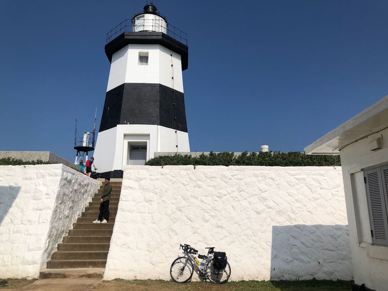
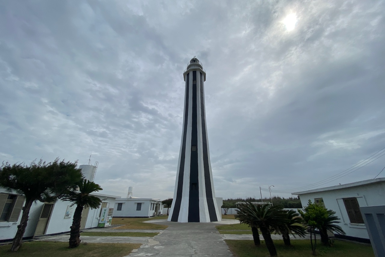
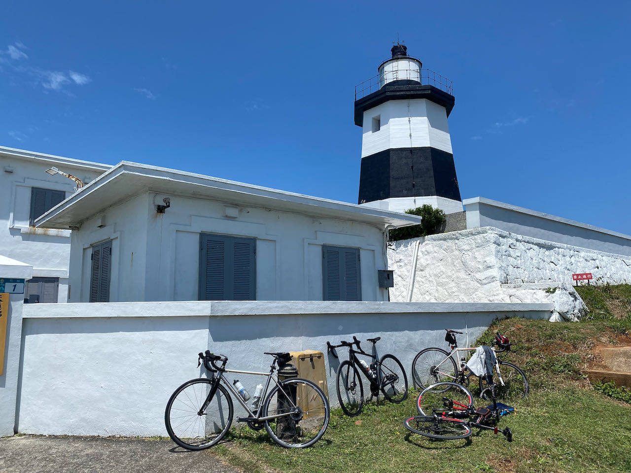
公式ルートでは、宜蘭を出発し、省道2号線を北東に進み、三貂角の最北端に向かいます。三貂の岬まで行けば、三貂角灯台や卯澳漁港など、美しい観光スポットがたくさんあります。これらの観光スポットは、本線とは別の自転車用道で繋がっています。この道のハイライトの1つは、古い草嶺隧道を利用した2kmの古い草嶺トンネルです。
ただし、自転車用ルートの入り口に到達する前に、頭城から20キロメートルほど、多数の大型トラックと道を共有する区間があります。それでも週末や祝日なら、大型トラックが少なくなるはずです。自転車用ルートの入り口に到着し、北に向かうと、古い草嶺トンネルが福隆駅への近道となり、涼しく不思議な自転車体験ができます。東に向かえば、省道2号線沿いの自転車専用道から美しい海岸の景色や他の観光スポットを眺めることができます。
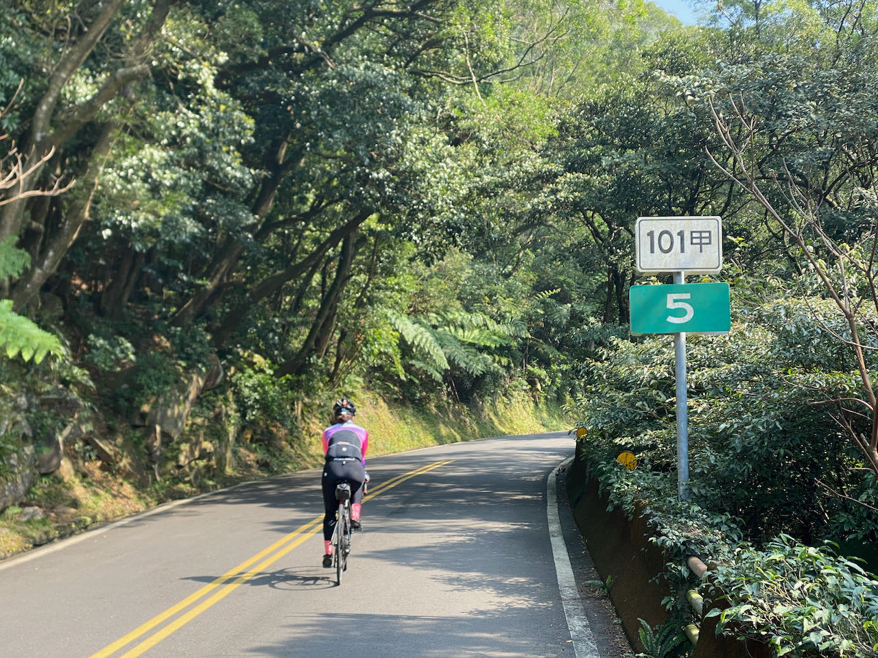
福隆駅で、大型トラックは省道2号線を瑞芳まで走り続けます。瑞芳から私たちはトラックと別れ、台北に戻るために省道2C号線と5号線に切り替えます。広くて平坦な道である省道2C号線は、緑の繁る丘の静かな景色を楽しむことができますが、基隆から台北に続く省道5号線は、特にラッシュ時に都市部の交通量が多くなります。Garminルートの標高データを見ると、省道2C号線に525メートルの急峻なピークがあることに気付くかもしれません。ただし、トンネルがあるのでそ坂を登る必要はありません。Komootではより正確な標高データを提供してくれています。
省道5号線の交通渋滞を避けたい場合は、十分で縣道106号線に切り替えることができます。ただし、この縣道もバイク乗りに人気があり、週末は混雑している可能性が高いです。また、この7-Elevenを通過した後、縣道109号線を登って南港を通り、台北に戻ることもできます。
新北市新店地区に戻る別のルートは、省道9号線を通じて平林地区を経由する方法ですが、500mを超える2つのピークを越えるルートでもあります。ただし、週末や祝日にこのルートを選ぶことはお勧めしません。高速バイクが多く、エンジン音がうるさいだけでなく、彼らの中には各ターンを最高速度で通過しようとする者がいるため、事故のリスクが高まっているからです。
台北に戻ったら、これらの2つの投稿を参考にして、台北の都市内での自転車ルートを計画することができます:台北と新北のリバーサイドバイクウェイの案内と、台北都市圏の自転車移動方法。
公式ルート:
- Garmin: https://connect.garmin.com/modern/course/33897212
- Velodash: https://cx6sm.app.goo.gl/j75n
- komoot: https://www.komoot.com/tour/1023078851
代替ルート1: 縣道106号線
- Garmin: https://connect.garmin.com/modern/course/190557915
- Velodash: https://velodash.page.link/fhVh
- komoot: https://www.komoot.com/tour/1289837250
代替ルート2:省道9号線
- Garmin: https://connect.garmin.com/modern/course/190558603
- Velodash: https://velodash.page.link/dHb1
- komoot: https://www.komoot.com/tour/1289839934
お客様からのお勧め
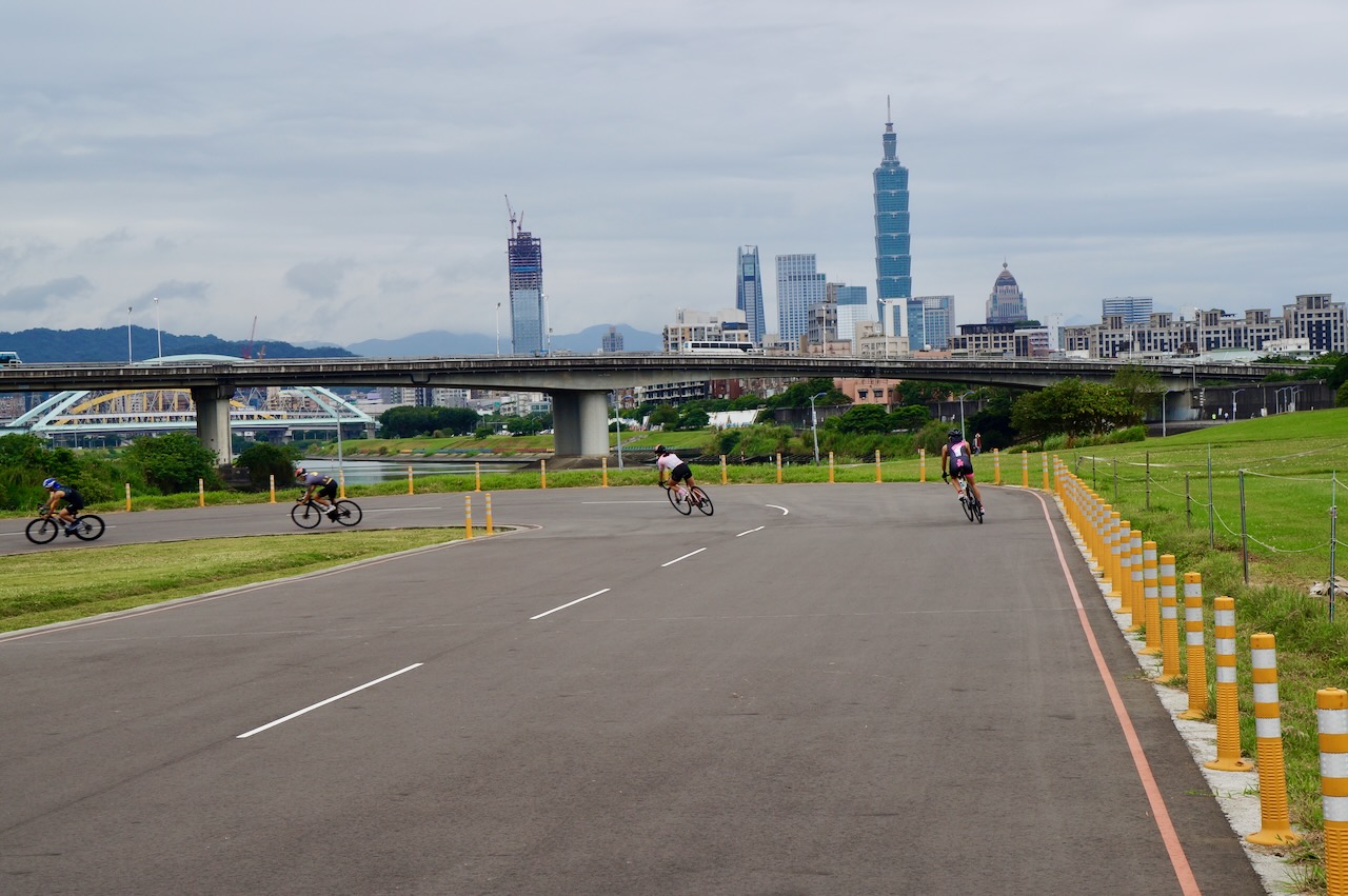
Levke氏 は2024年4月に台湾一周のサイクリング旅行を終えました。そして、曲がりくねった道や狭い道があったものの、彼女は八堵から台北への河川自転車道をサイクリングする方が楽しいと感じました。特に、環島1号線の起点である松山に向かって走っているとき、目の前で台北101が大きく近づいてくるのは意義深く旅の締め括りに相応しい体験でした。次のリンクで彼女は自分のルートを親切に共有してくれています。
久保田さんの自己紹介
はじめまして。久保田智博です。
20歳のときに、ずっと憧れていた環島を達成することができました。
旅の途中では、言葉は通じずとも沢山の温かい人々に助けていただき、台湾がどんどん好きになっていきました。特に、ほぼ毎日食べた魯肉飯は忘れられない味です。
このたび、自転車を貸してくださったBike Express Taiwanへの感謝の気持ちを込めて、日本語訳の手伝いをさせていただきました。
台湾での思い出は、これからもずっと大切にしていきたい宝物です。またいつか、あの島を一周しに戻ってきます。
About Mr Tomo Hero
Hello, I’m tomoHero!
I achieved my goal of Cycling Route No. 1 which was my long-cherished ambition.
I helped Bike Express Taiwan with translating the Web page in Japanese, expressing my gratitude.
I will cherish my memories in Taiwan forever. I will be back to the island and travel around again.