Category: Climbing routes

  • Cycle the Five Extremes Around Taiwan – Conquering the Wuling Pass

    Cycle the Five Extremes Around Taiwan – Conquering the Wuling Pass

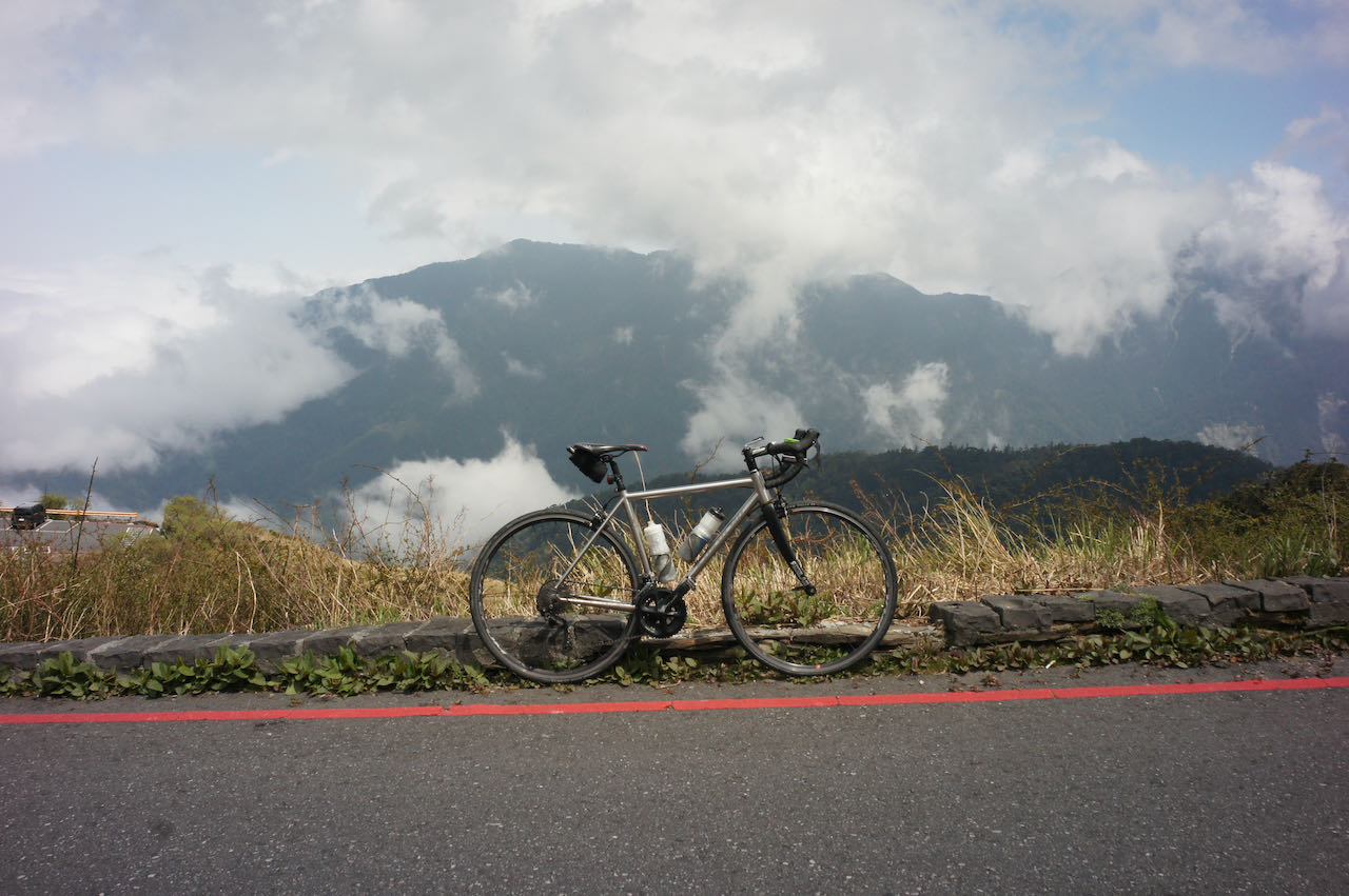
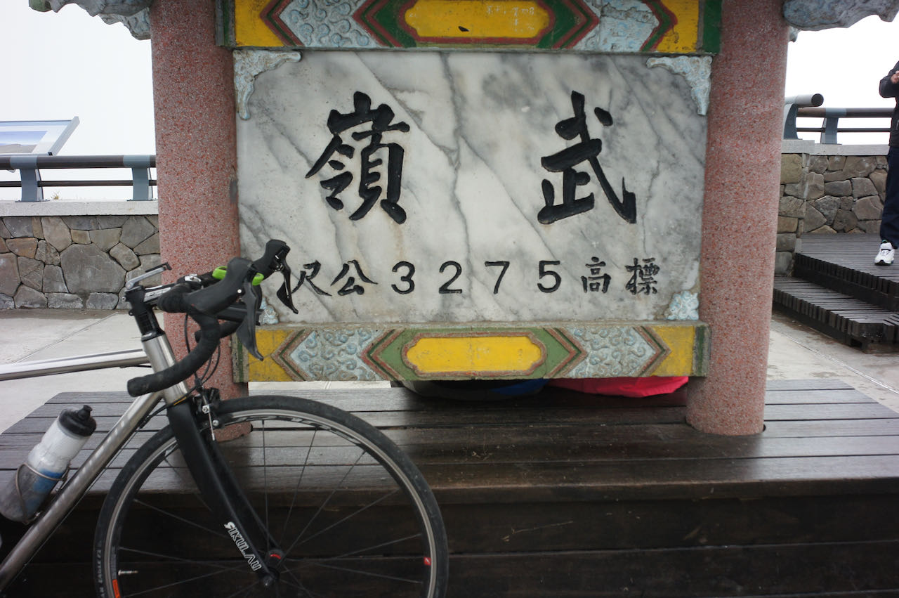
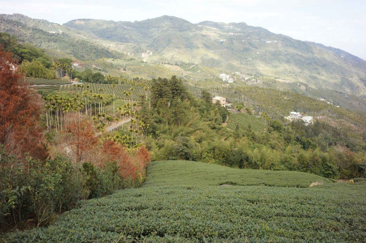
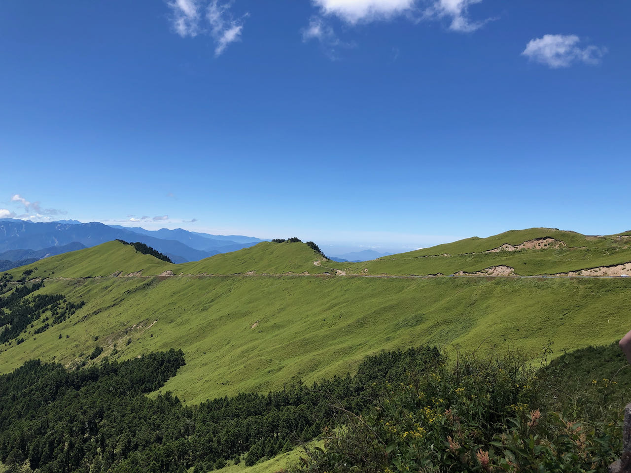
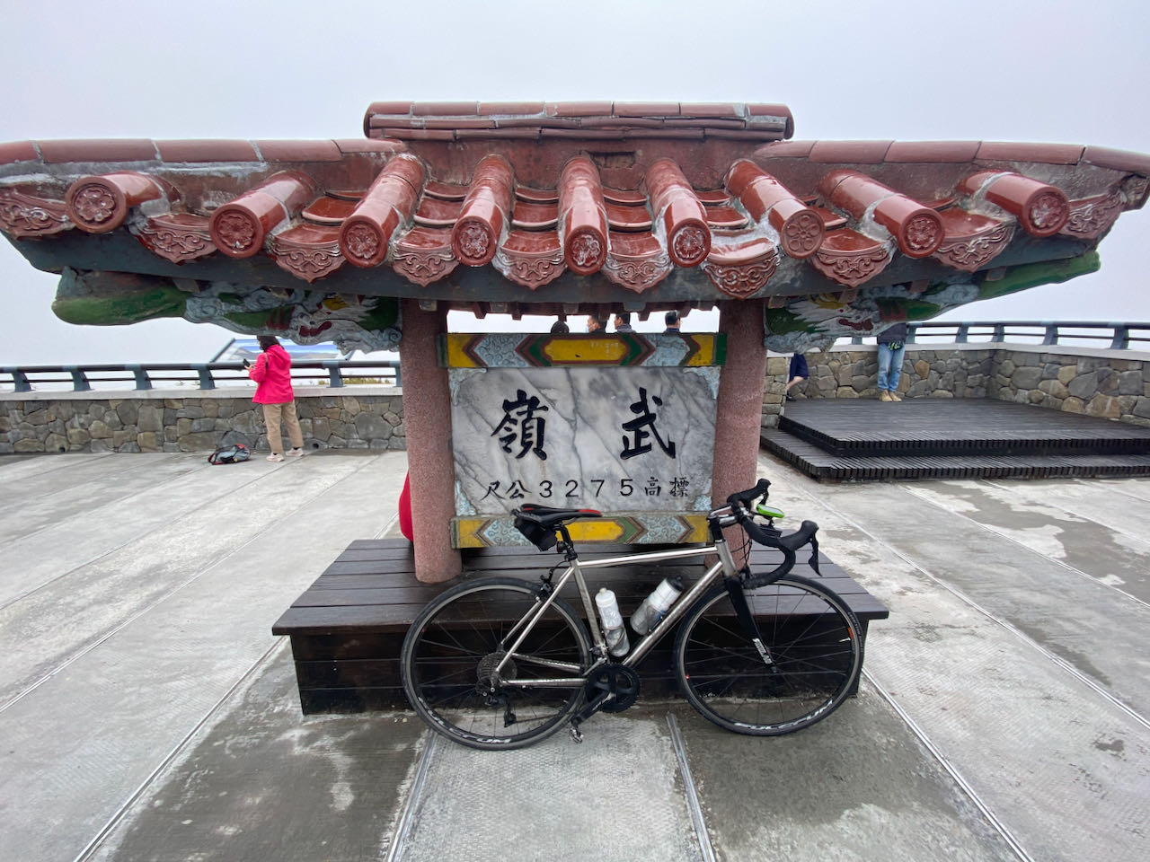
    Cycle the Five Extremes Around Taiwan is a cycling challenge that entails reaching the five extreme points of the Taiwan main island, including the North, East, South West, and the highest paved road at Wuling Pass, which stands at an elevation of 3,275 metres. Upon completing this challenge, you would have covered a distance of 1,237 kilometers and ascended a total of 11,143 meters.

    While the Four Extremes Around Taiwan already provide a more challenging way to cycle around the island than The Classic 9-Day Cycling Around Taiwan, some fellow cyclists seek to incorporate an epic climb into their journey. Hence, we introduce the fifth extreme at Wuling, making it a total of five.

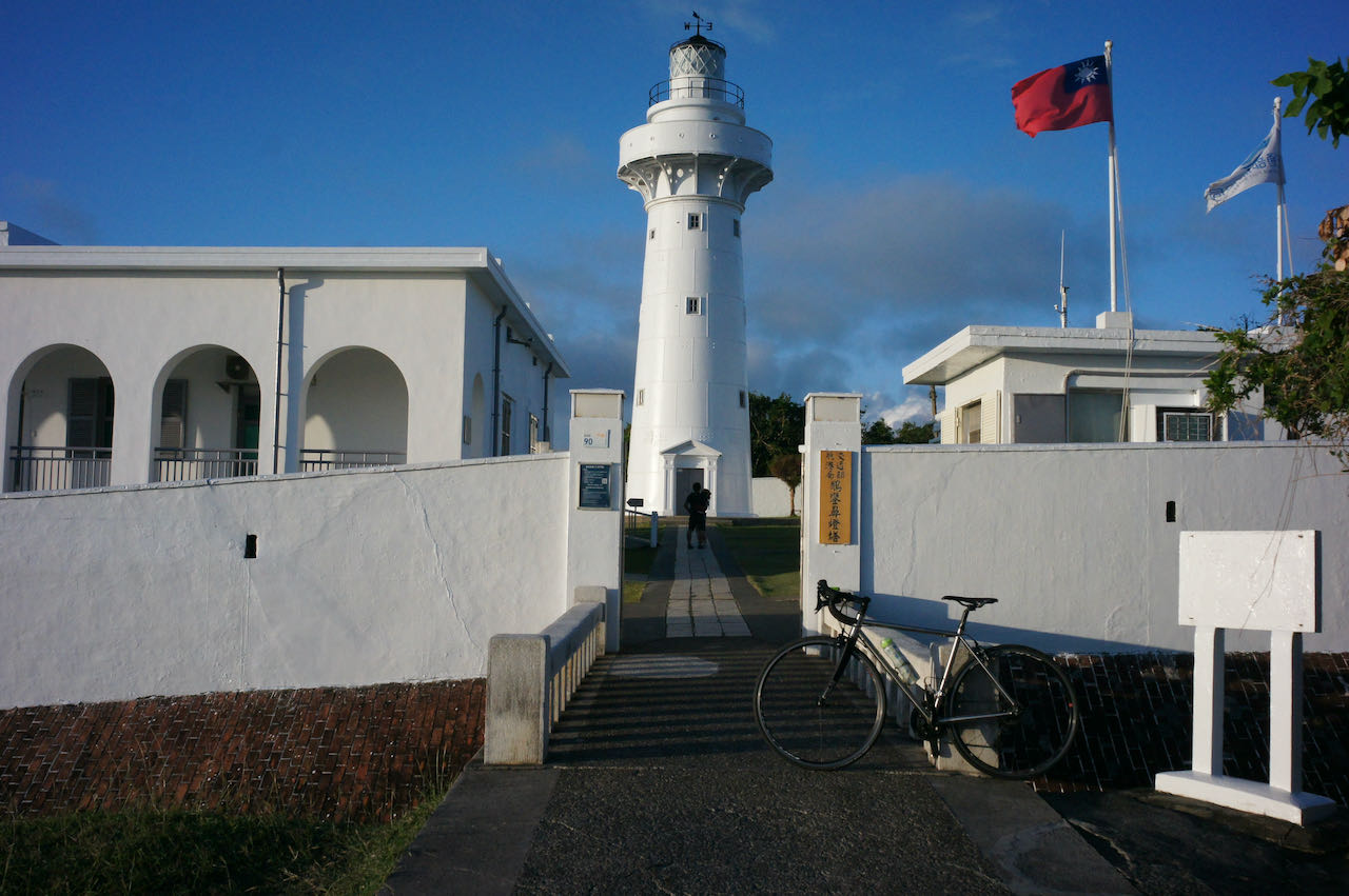
    In this post, I will discuss the strategies for reaching the High Extreme of Wuling. For information about the other four Extremes, please refer to ‘Cycle the Four Extremes Around Taiwan.’

    Best Time to Climb Wuling

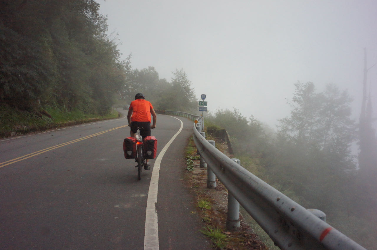
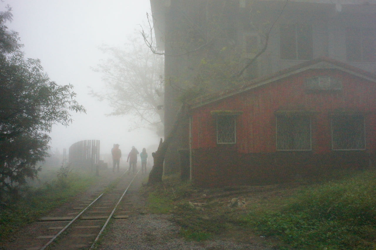
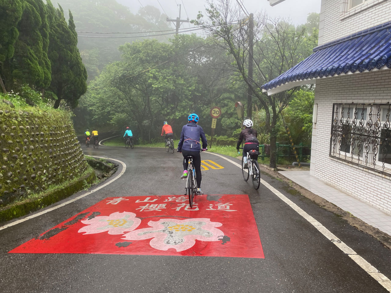
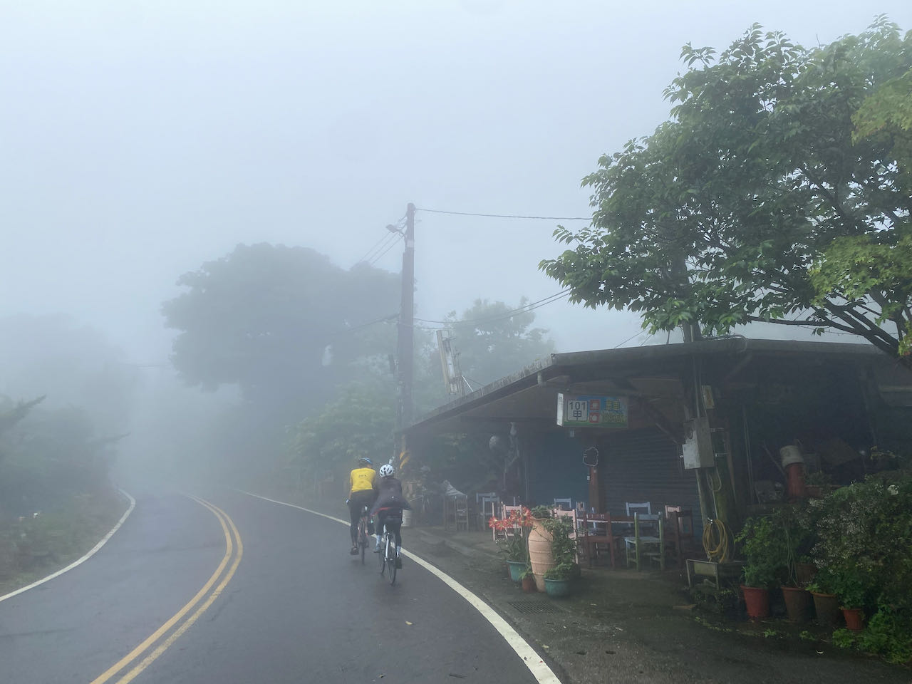
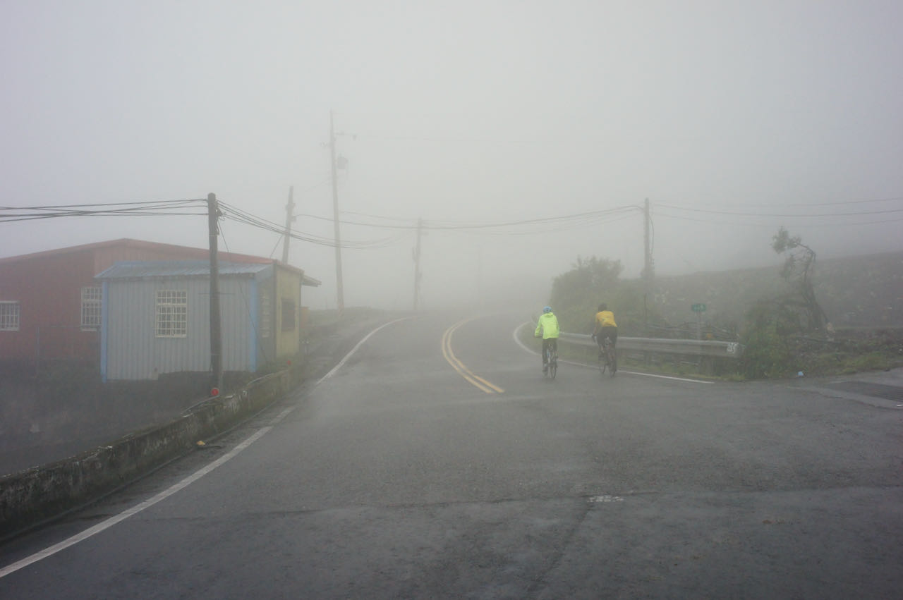
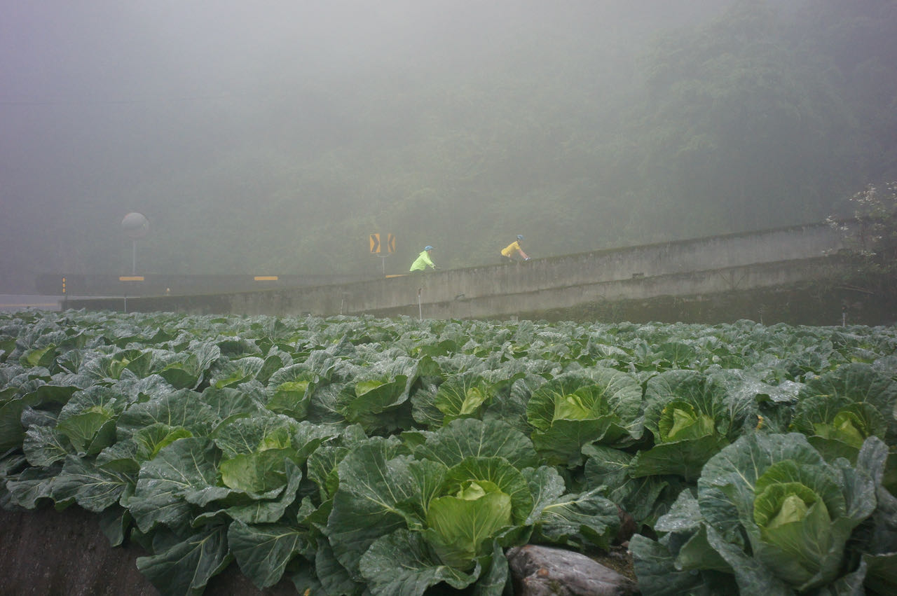
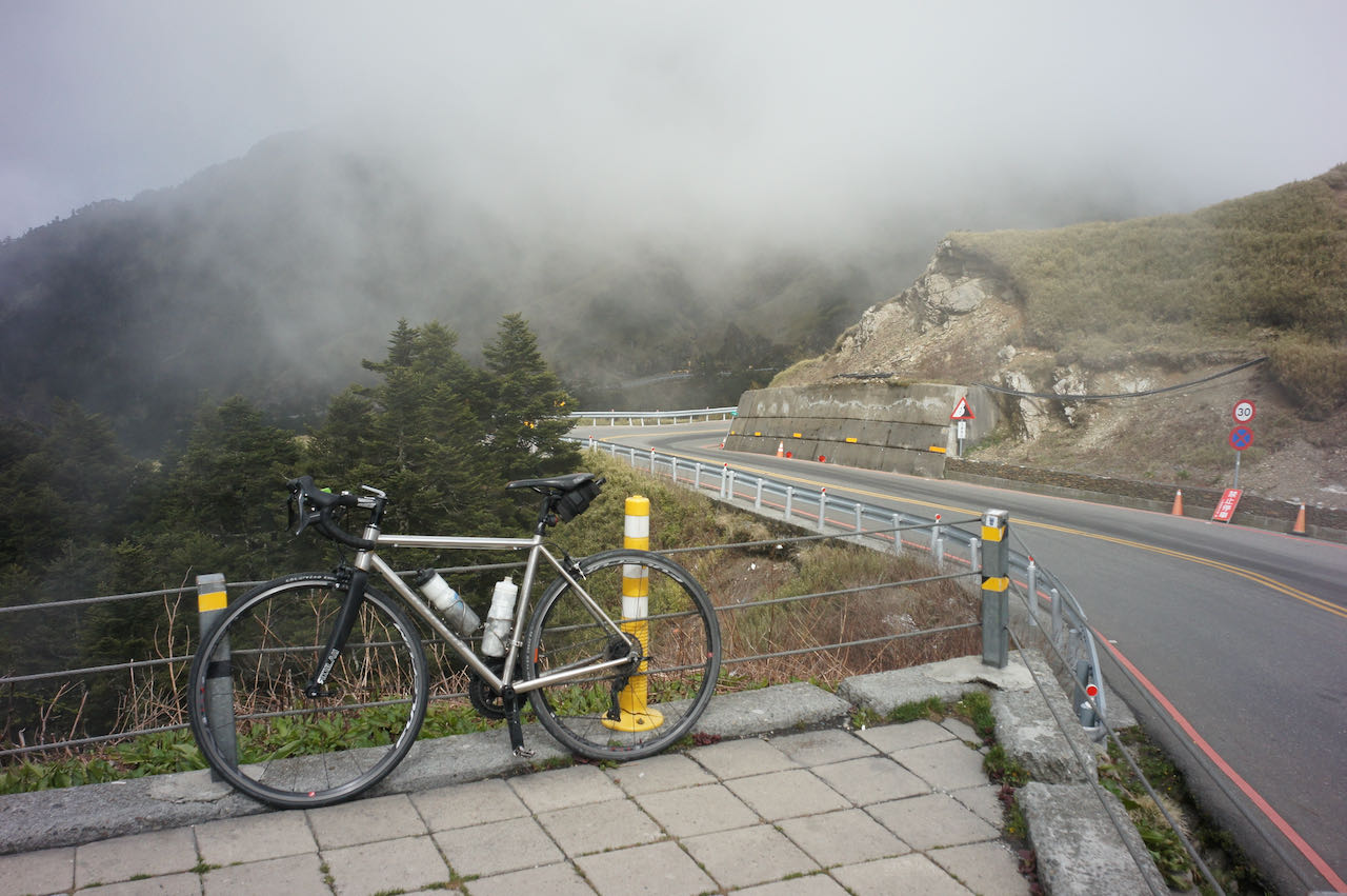
    According to Wang Shen-Chih, who has climbed Wuling Pass more than 200 times and shared his insights with us in this interview, the optimal period to climb Wuing is during autumn when the weather is typically sunny with a low chance of precipitation. Summer is also a viable option as temperatures at the summit are not excessively high. However, it’s important to plan the return trip for the morning hours to avoid the afternoon thunderstorms that are common during this season. He noted that spring tends to have frequent rain, and if it does rain, temperatures can drop below 10 degrees Celsius. Winter is considered the least favourable time for the ascent. It can bring either rain or fog, both of which can soak your clothing and sap your body heat posing challenges, especially during the descent. In the heart of winter, there may even be snow or ice on the road surface, making it hazardous for cyclists.

    Possible Road Blockage and Traffic Control

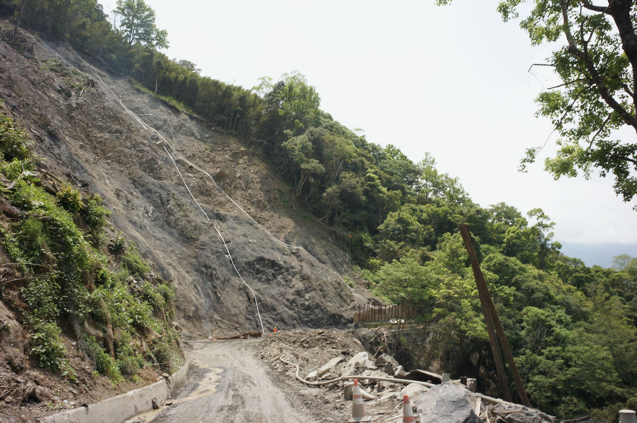
    When planning your trip, please be mindful of potential road blockages or traffic control measures in the mountain highways. The highways in these mountainous regions are occasionally subject to damage from typhoons or earthquakes. While repairs are typically carried out swiftly, some damages may take several months to fully repair. Construction workers may need to block off sections of the road to perform their work, resulting in specific time windows for passage.

    As of the current date (18 Oct, 2023), there are four sections of Provincial Highway 8, from Xincheng to Wuling, undergoing repairs. For instance, at 179K+500 near Baisha Second Bridge, the scheduled windows for passage are at 10:00, 11:30, 14:00, and after 17:00. In the Kuanyun Section at 117K+400, the passage windows are 07:00 – 08:00, 10:00-10:10, 12:00-13:00, 15:00 -15:10, and 17:00-17:10, with the road closed during other times. The remaining two sections have no fixed schedule; typically, one lane is closed, and two-way traffic takes turns using the remaining lane.

    These passage time windows significantly impact our riding schedule. It’s crucial to plan your ride carefully and have contingency options in case of unexpected delays. Avoid getting stuck on a mountain peak.

    Please refer to this post on how to check the latest road conditions:

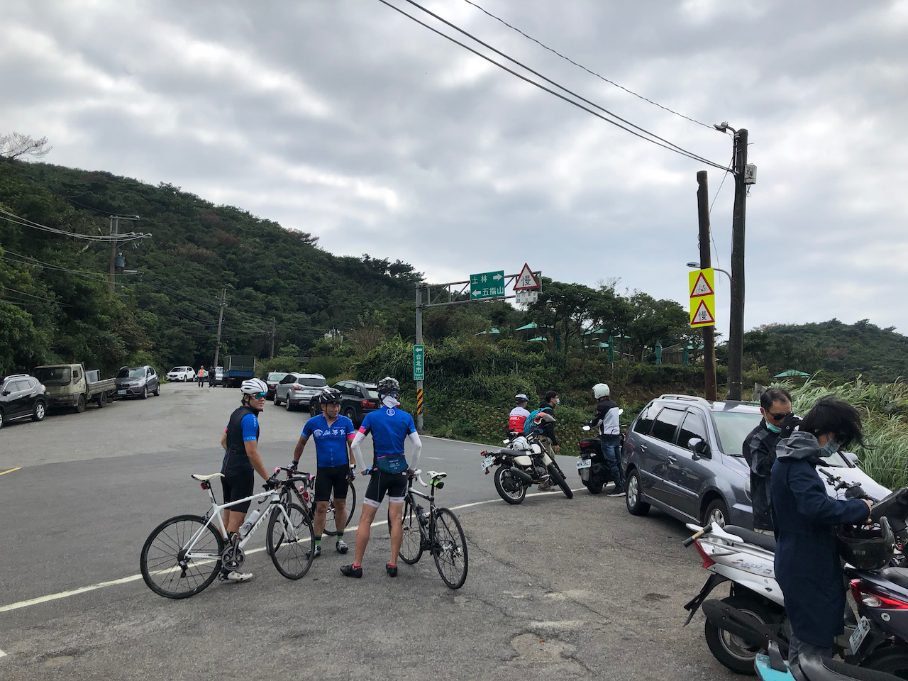
    Strategies for Travelling Anti-Clockwise

    Route

    Climbing to Wuling

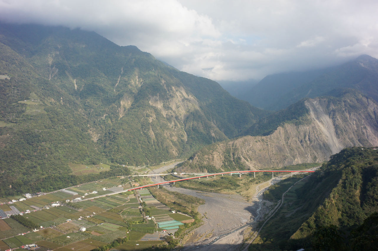
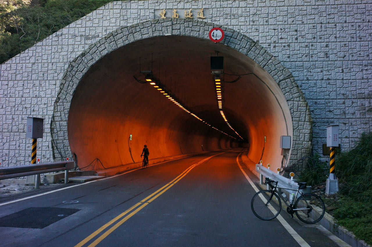
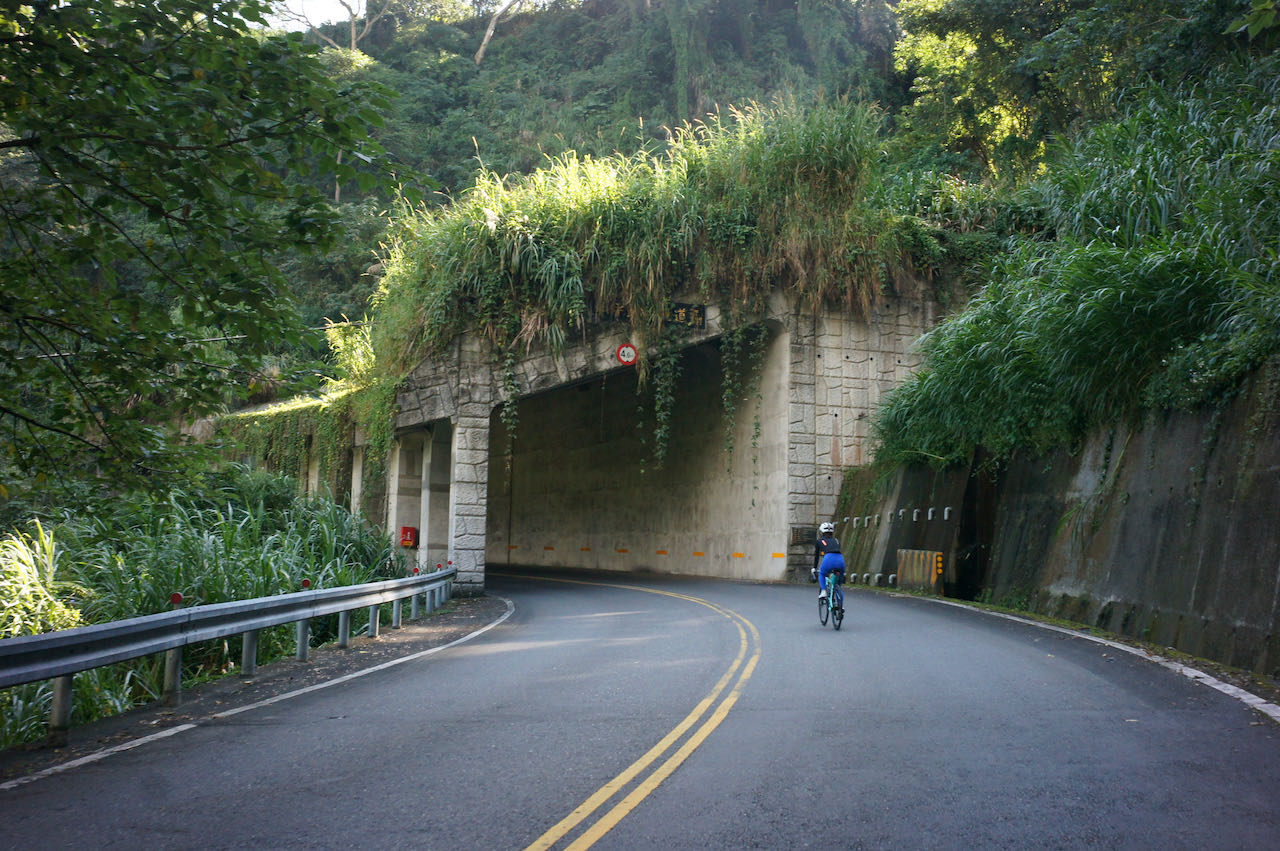
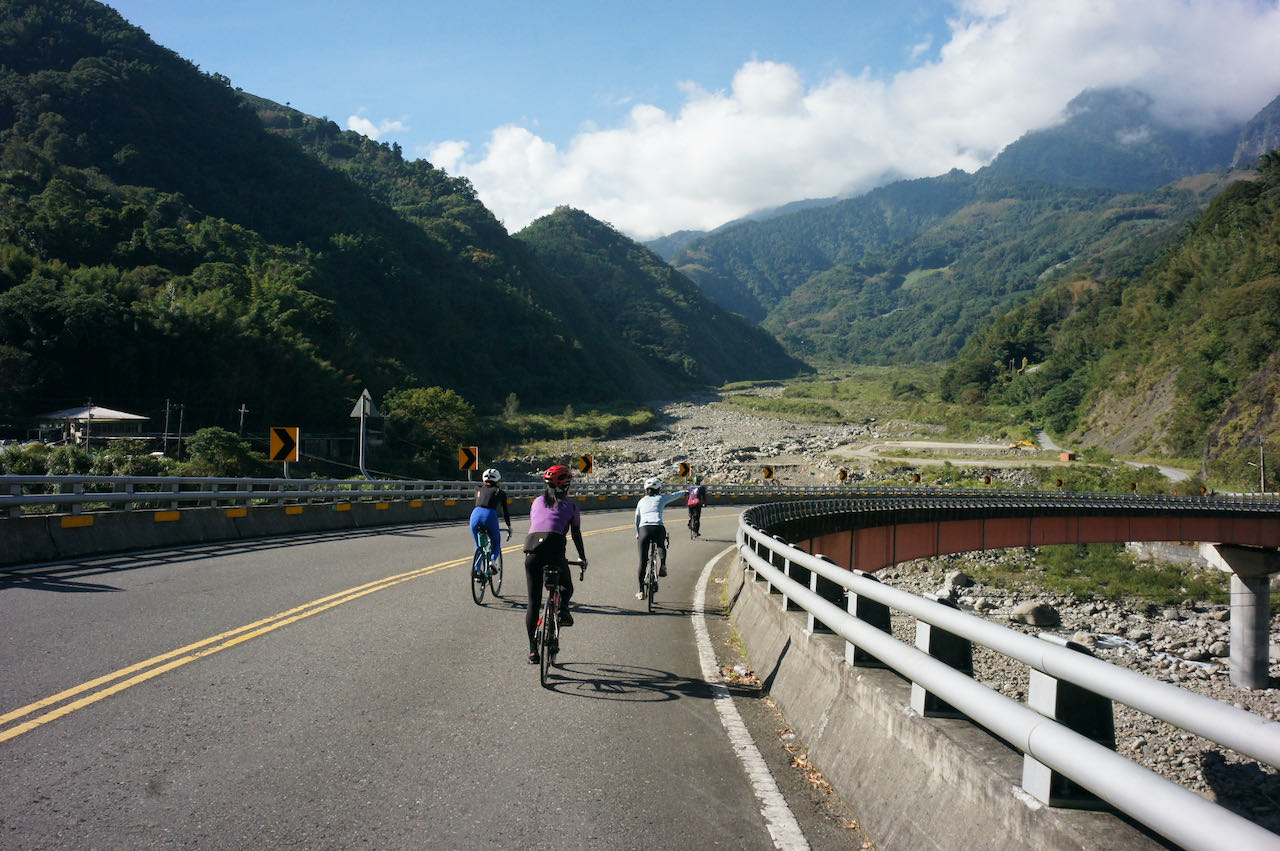
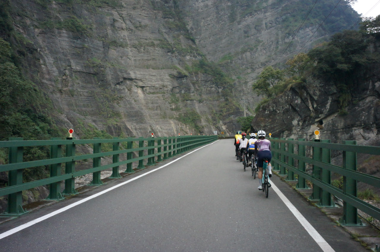
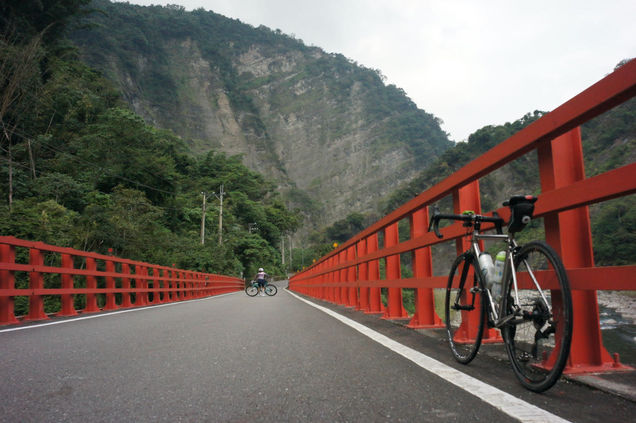
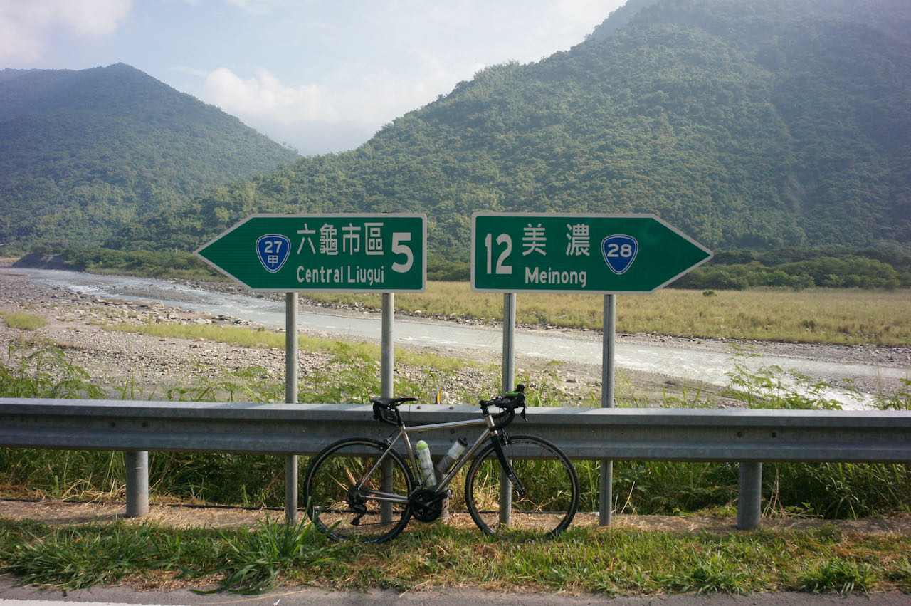
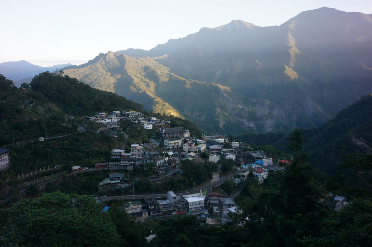
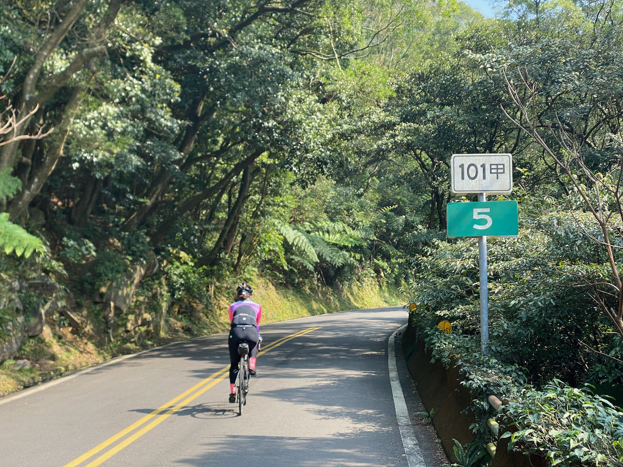
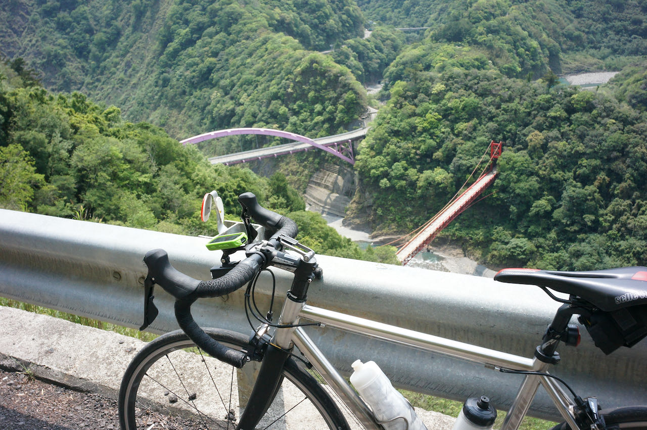
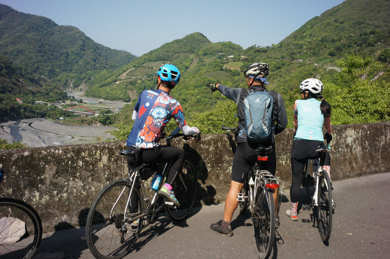
    To cycle counterclockwise on the Five Extremes Around Taiwan route, you’ll face a challenging climb from Xincheng, Hualien to Wuling, covering a distance of 87 kilometers with a total ascent of 3,768 metres. This segment is the essential route of the KOM (King of the Mountain) race, also known as the ‘Eastern Approach to Wuling’ or ‘東進武嶺’.

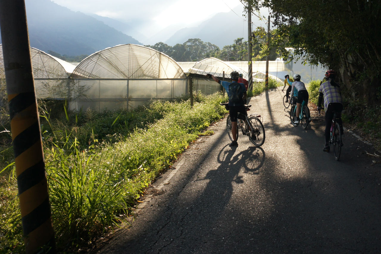
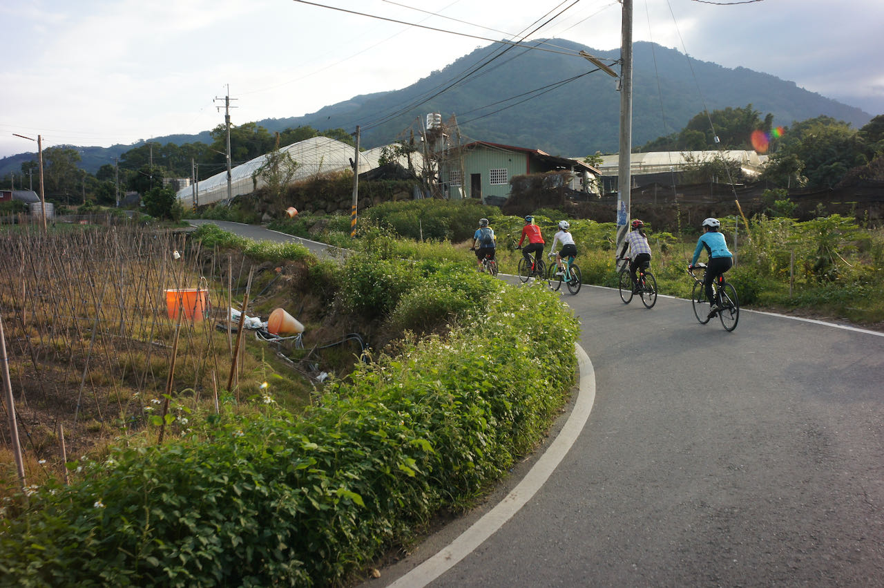
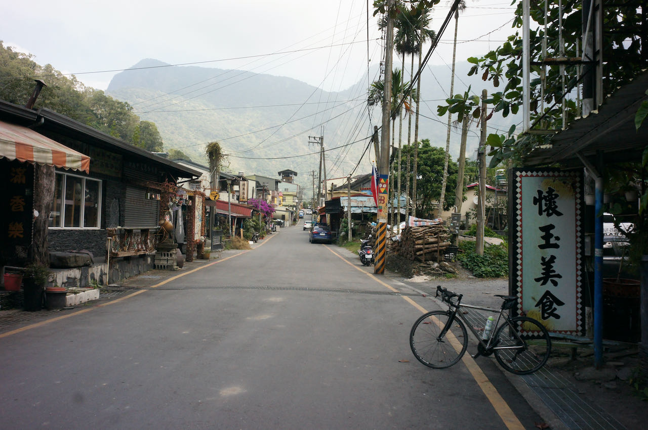
    Given the length and limited supply stops along this route, it’s essential to plan your journey carefully. If you cannot complete the ascent in a single day, there are two locations where you can stay overnight. The first option is Tianxiang, which is approximately 20 kilometres from Xincheng, with a total ascent of 636 meters. In Tianxing, you’ll find two hotels, Tienhsiang Youth Activity Centre and Silks Place Taroko, as well as a 7-Eleven.

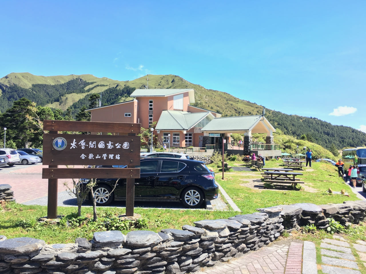
    The second option is Kuanyun Lodge, located at an altitude of 2,374 metres and much closer to the summit, making it a preferable place to stay over. Keep in mind that dinners at Kuanyun Lodge are served within a specific time window. If you miss the dinner or find the portions insufficient, there is a store that sells instant noodles, available until 21:30, according to the official website.

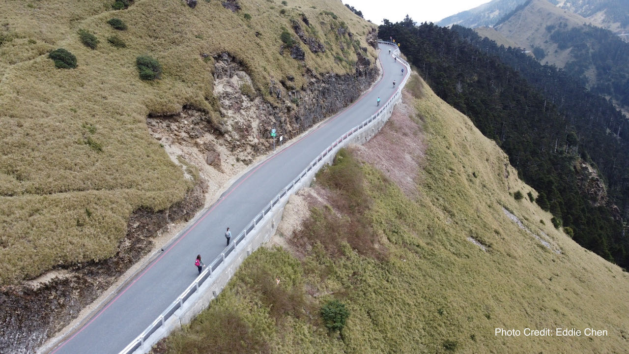
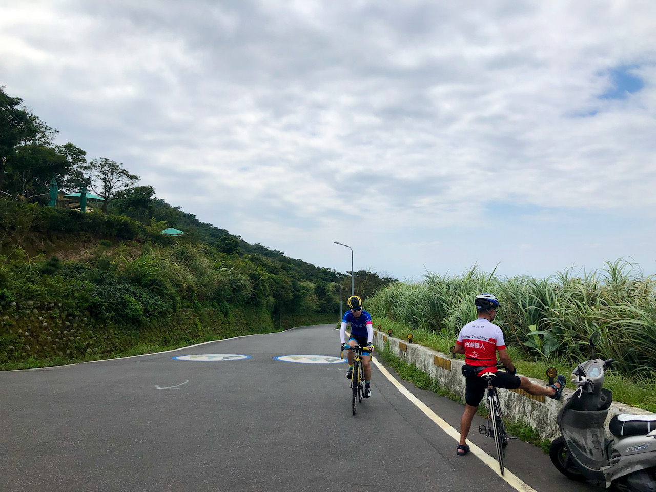
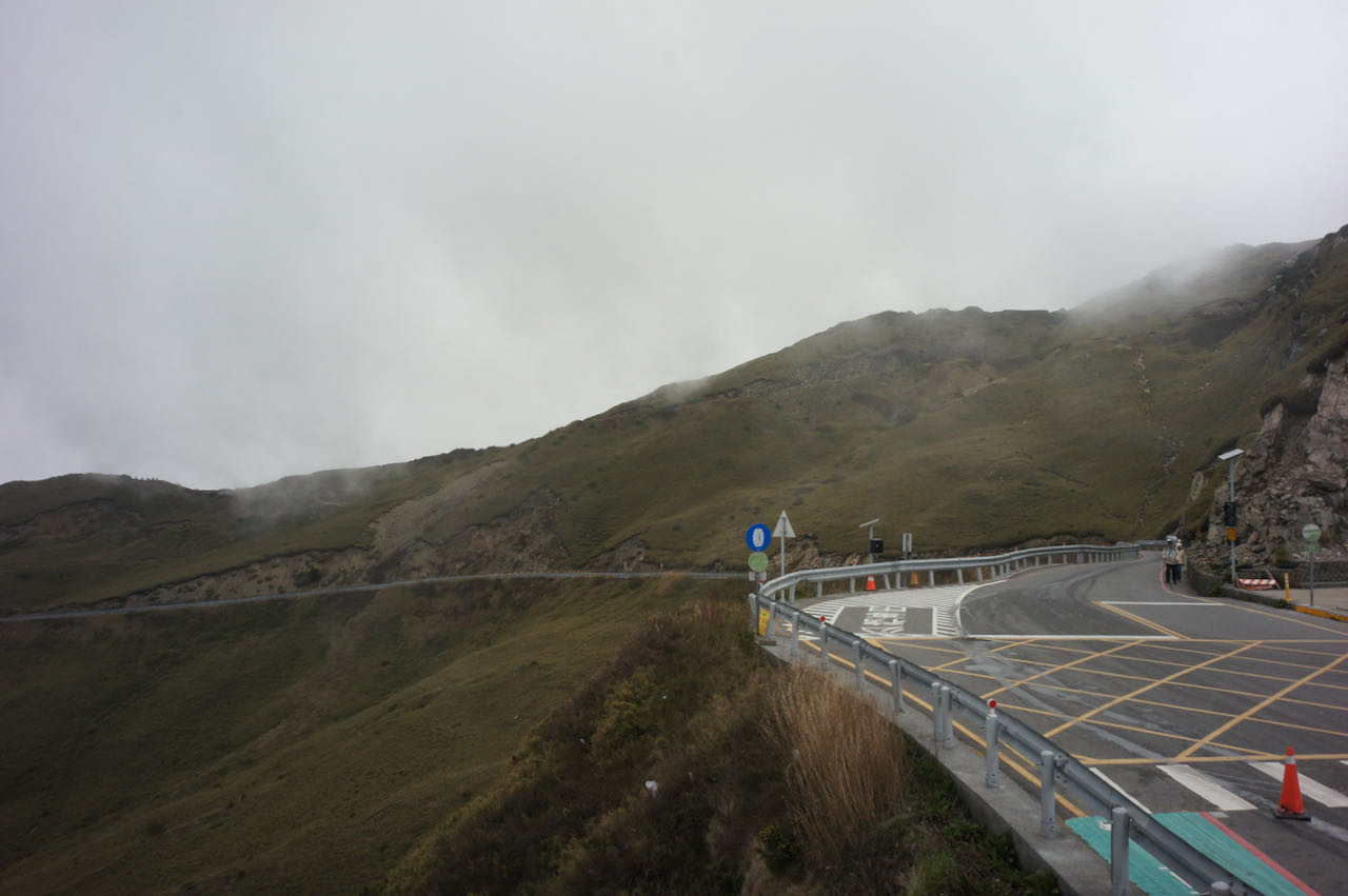
    The ultimate challenge awaits in the last 10 kilometres, from Dayuling at 2,565 metres to Wuling. At this point, you’ll have expended much of your strength, and the air becomes thinner as you ascend. The remaining total ascent covers 767 meters within this 10.14-kilometre stretch, with 1 kilometre of descent that makes the gradient for the remaining ascent consistently over 10%. Approximately halfway, at around the 5-kilometre mark, you’ll encounter the Hehuanshan Service Station, your last opportunity for resupply.

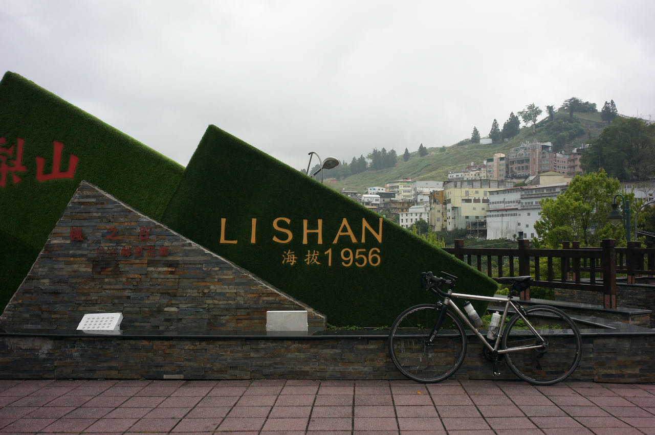
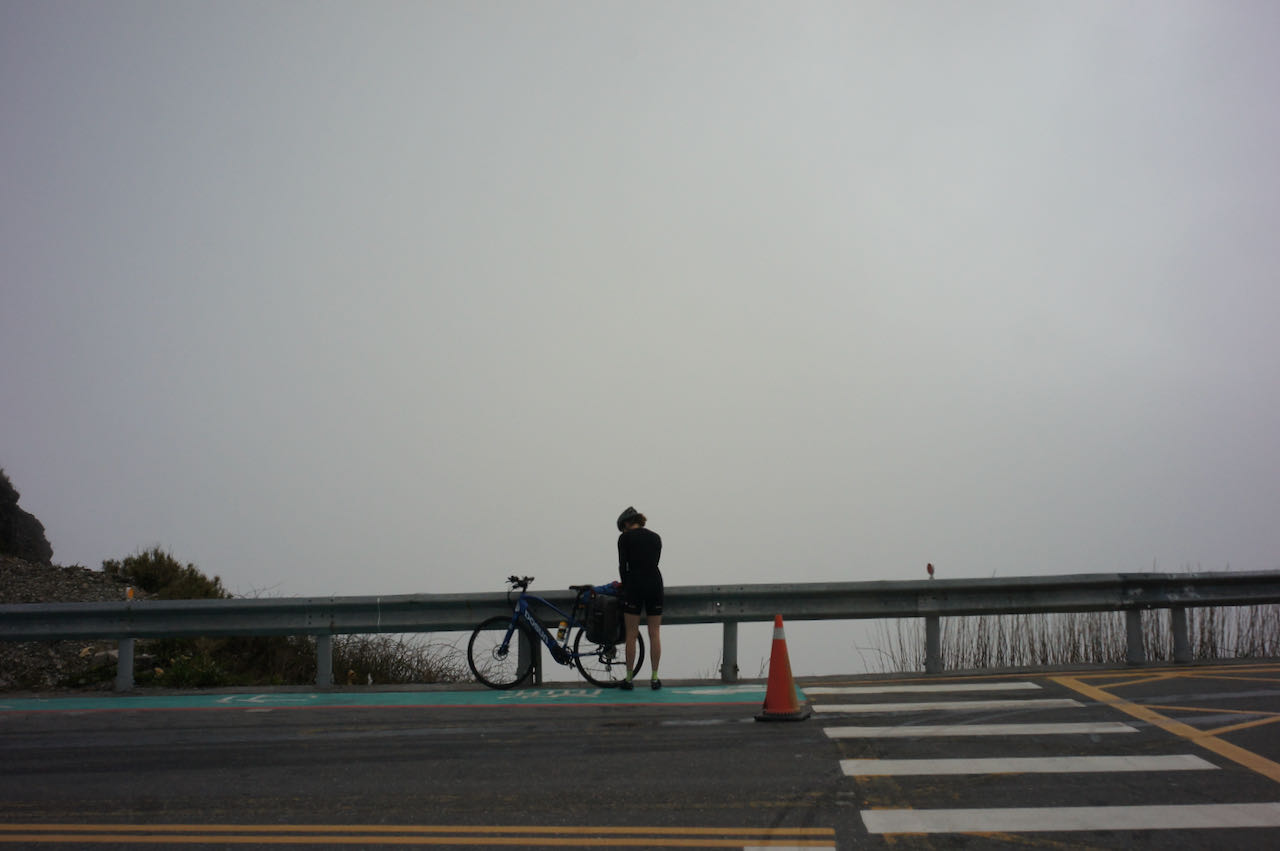
    However, it’s important to note that the weather at this altitude can change rapidly. If you find the ascent too challenging, encounter unfavourable weather conditions, or realise it getting too late to continue safely, it’s a wise decision to abort the climb and  descend to Lishan for the staying over. It’s a 30 kilometres route with 700-meter descent. 

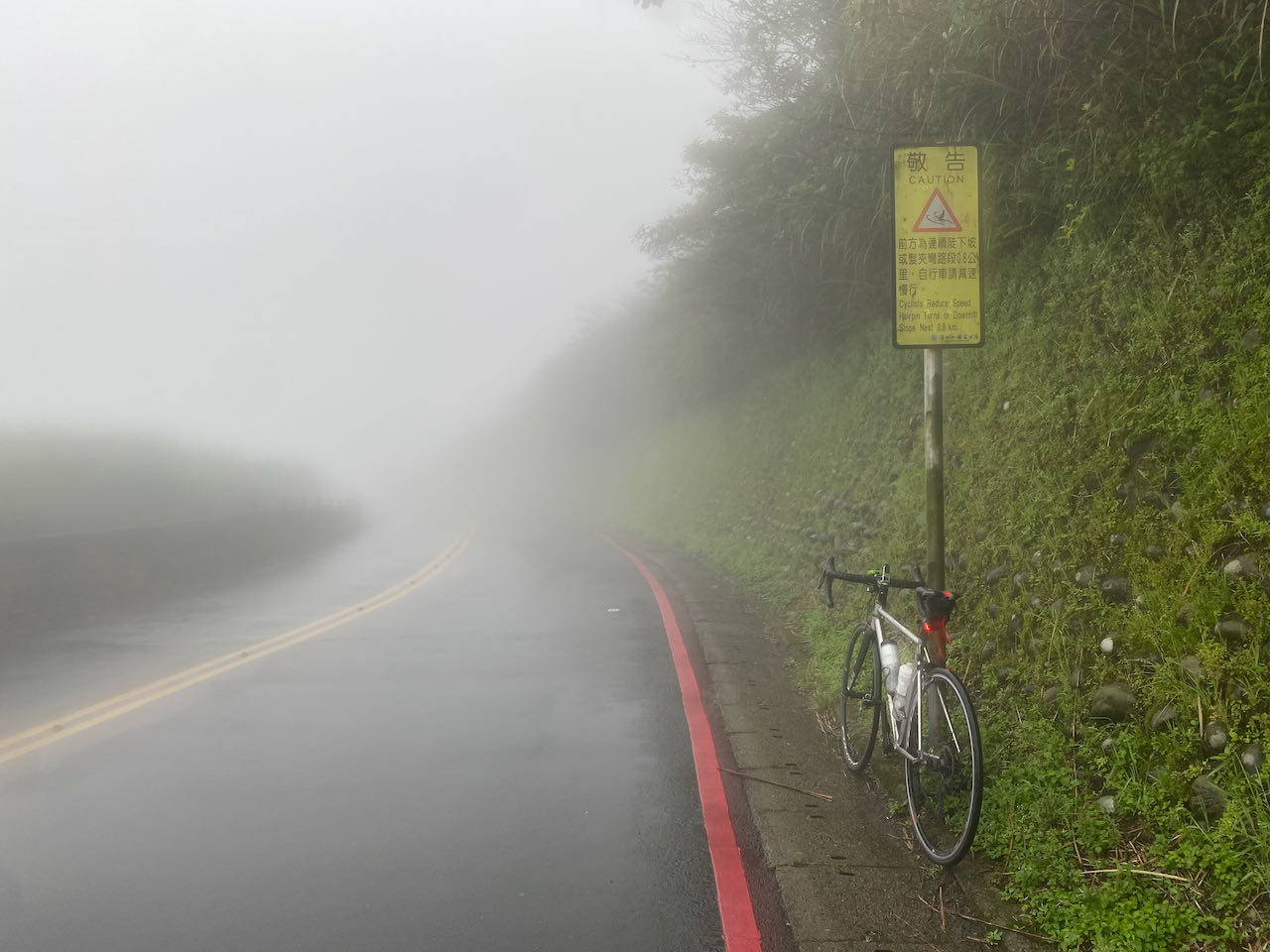
    Caution with the Long Steep Descent

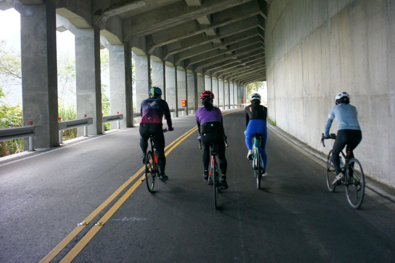
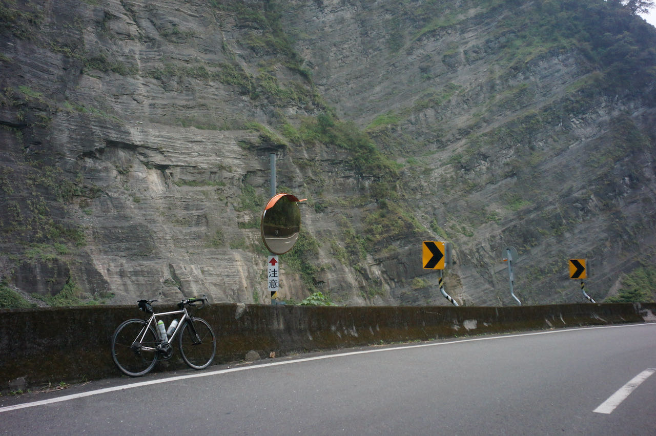
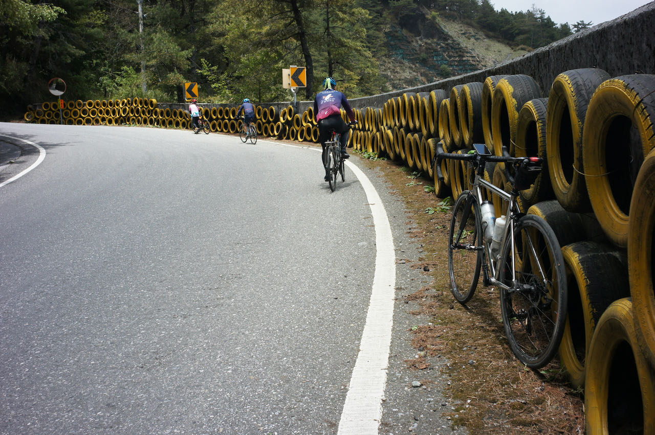
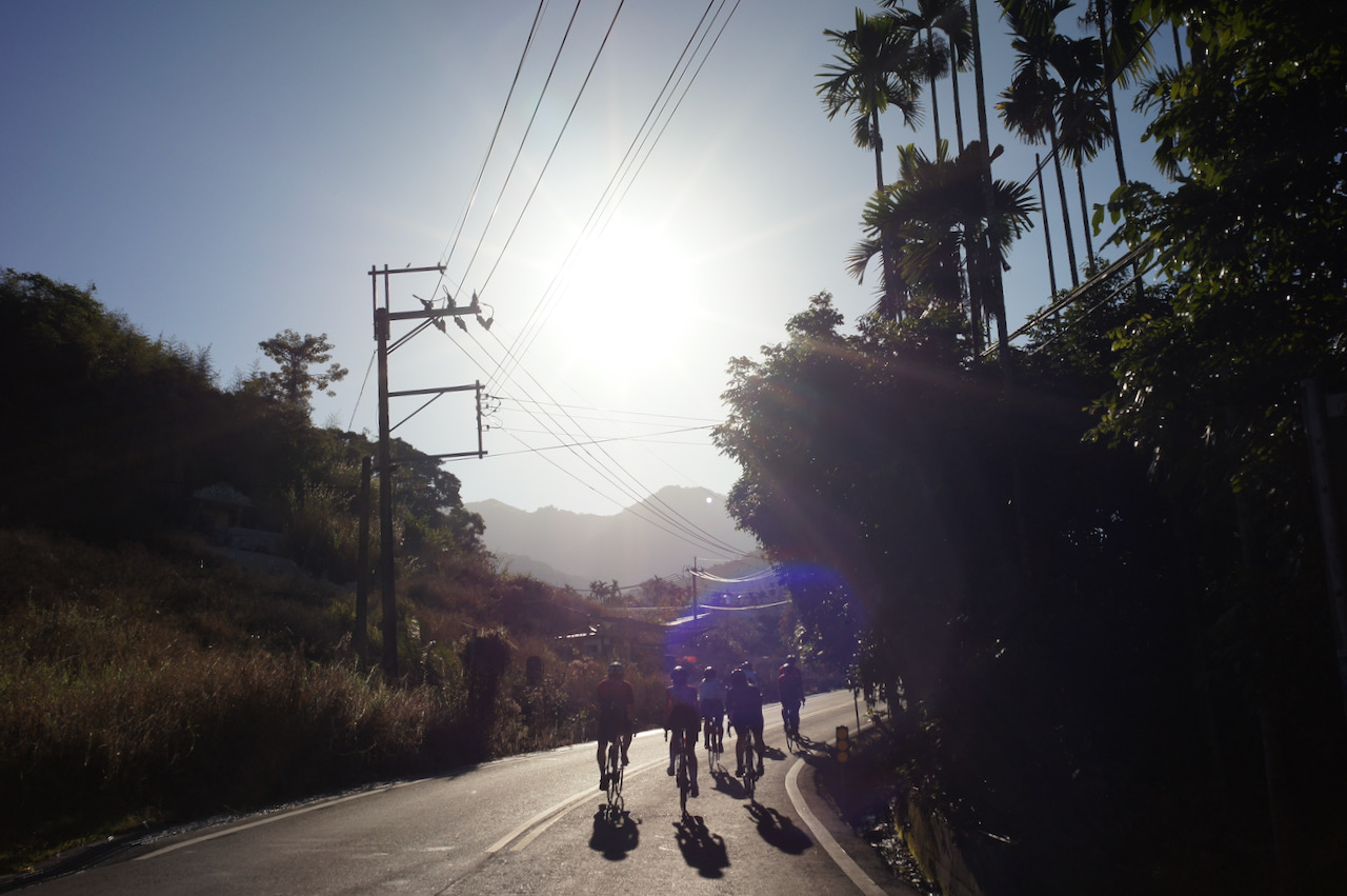
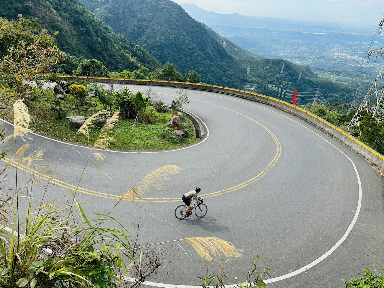
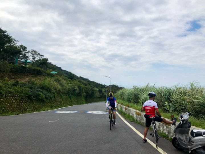
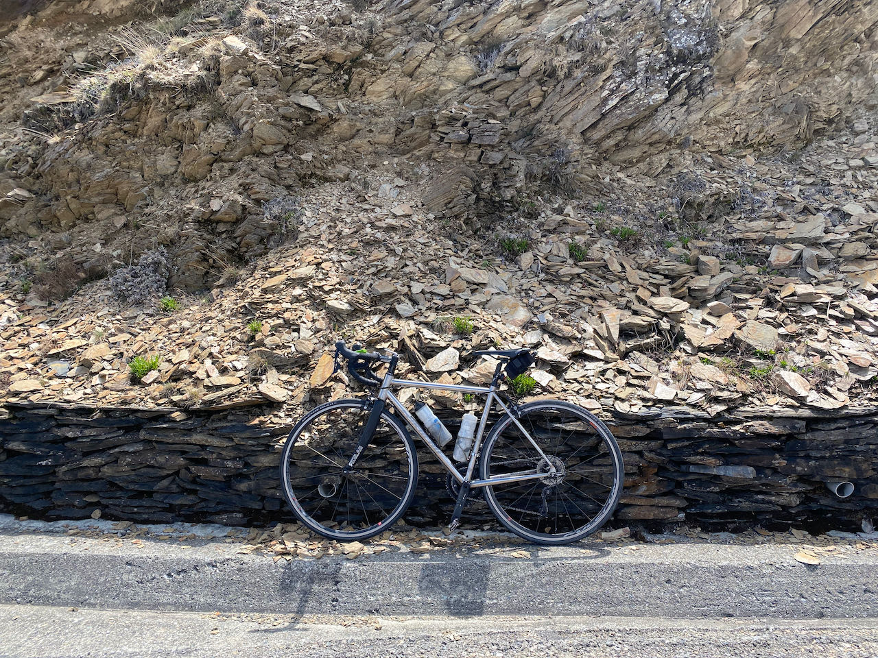
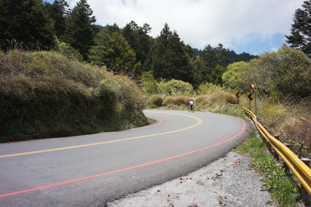
    While climbing to Wuling presents its challenges, descending requires careful consideration due to the risks involved. Even under favourable weather conditions and ample daylight, the descent demands caution. Before descending, it’s crucial to check your brakes. Some sections are so steep that you may even catch the scent of burnt braking pads from motorbikes and cars in the air. On a particularly sharp turn, there is a wall padded with used tires in place, just in case someone fails to navigate the turn.

    Descending from Wuling in the dark is highly discouraged as it poses extreme dangers. The reduced visibility during nighttime requires a significantly slower descent, which places greater stress on the braking system. To ensure safety, plan your descent during daylight hours, allowing for ample time on your return journey. 

    It’s also essential to bring sufficient clothing to keep warm. As a general rule, for every 100 metres of altitude gain, the temperature drops by an average of 0.65 degrees Celsius. At an altitude of 3,275 metres in Wuling, the temperature is 21 degrees Celsius lower than at sea level. During the descent, your body generates less heat than during the climb. The higher speed of descent amplifies the wind chill effect, further lowering the perceived temperature. If it rains during the descent, it can become a survival challenge. Therefore, it’s advisable to commit to the last 10 kilometers of climbing from Dayuling only under favourable conditions. We could cut our route short by cycling to Lishan from Dayuling directly, which is a more manageable terrain to ride. 

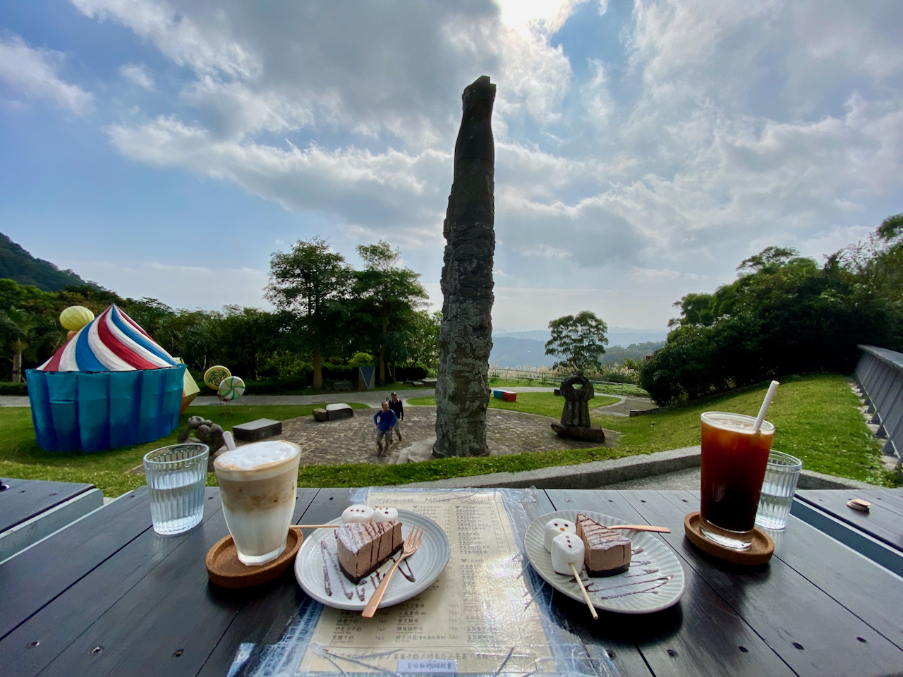
    Lishan is a popular tourist destination with more hotels and restaurants, making it a comfortable location for an overnight stay. 

    Lishan to Yilan

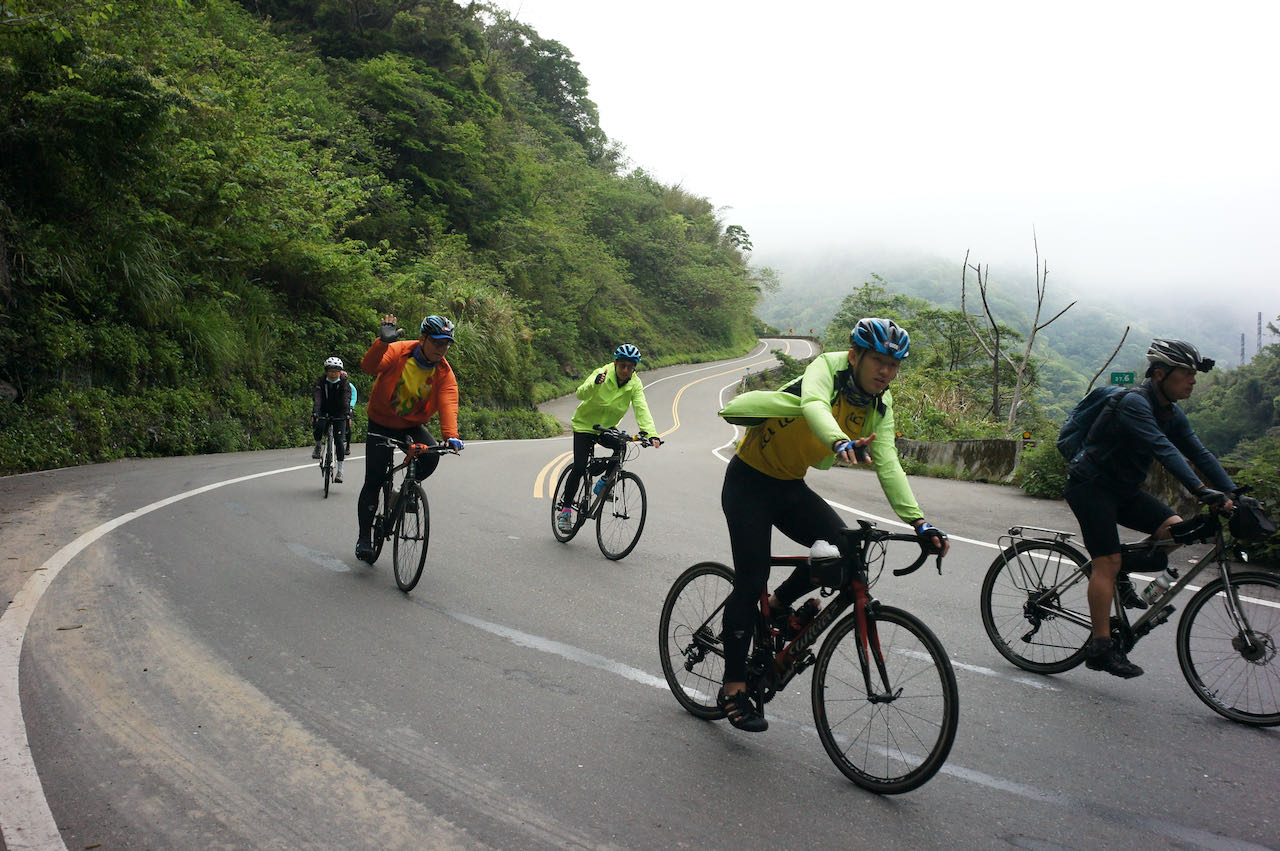
    While the descent from Lishan to Yilan is generally a long and milder one, it’s essential to consider the two significant climbs you’ll encounter along the way. After two descents (9 kilometers, -468 metres; 3.6 kilometres, -195 metres), you’ll face two climbs (9 kilometres, 490 metres; 6.5 kilometres, 155 metres) before reaching Syiyuan Yakou, a mountain pass.

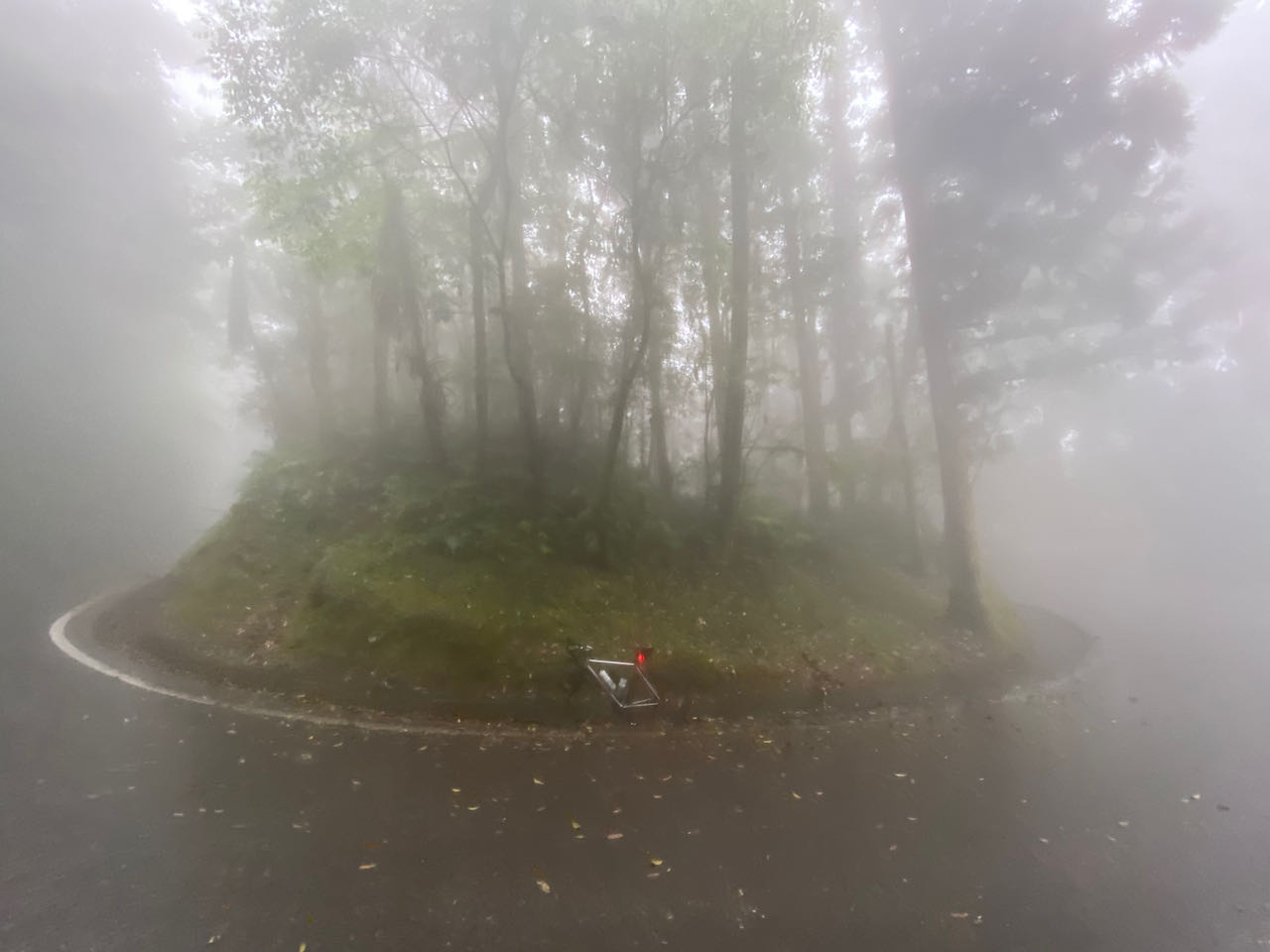
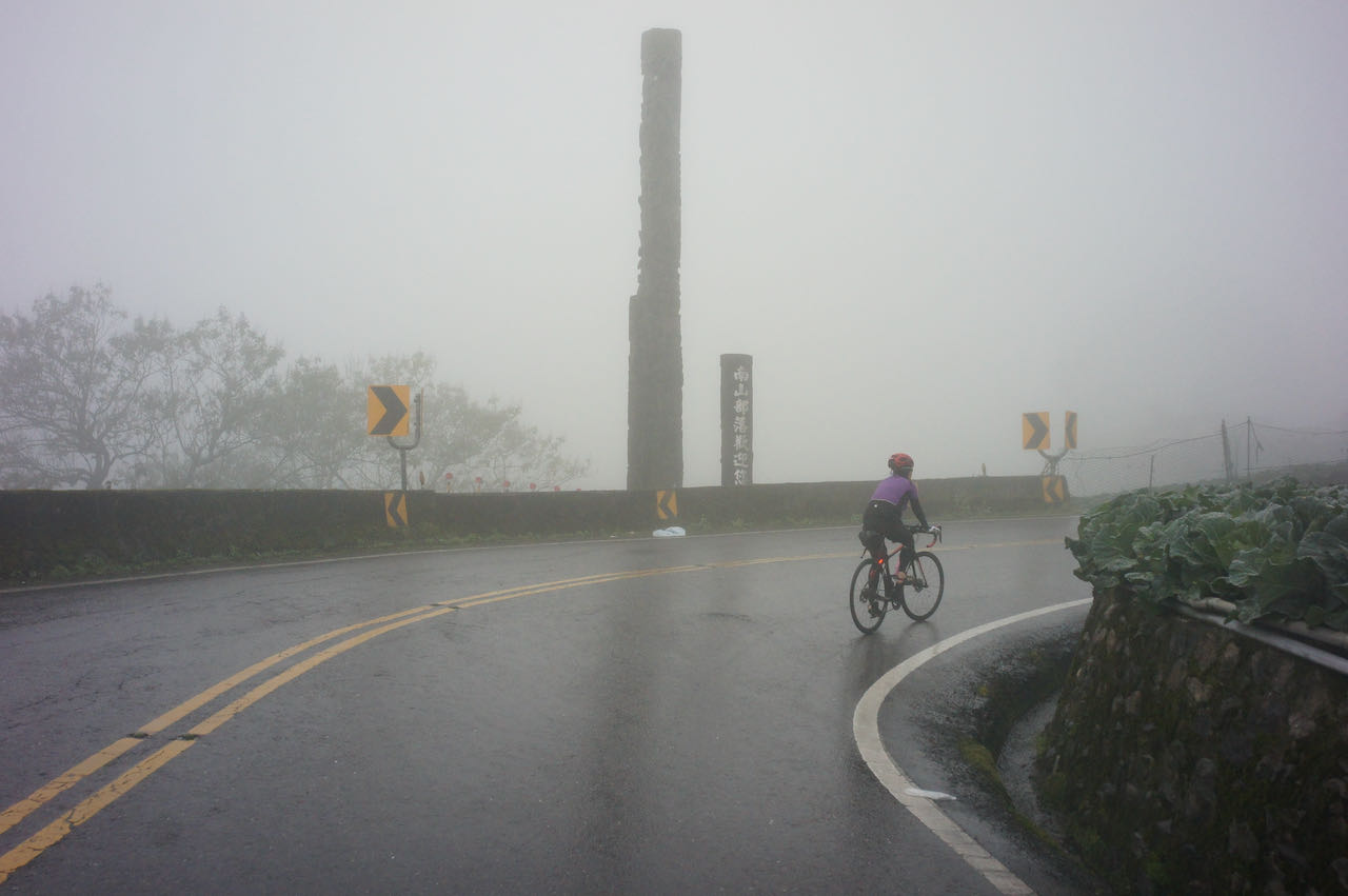
    It’s important to prepare for a significant change in weather as you pass through Siyuan Yakou, especially during winter and spring. The mountain acts as a barrier to the cool north-east prevailing wind, trapping humid air on the northern side of the pass. This results in a significant drop in temperature, typically accompanied by drizzles and fog, making the road surface wet. In such conditions, descending rapidly may not be possible, and frequent brake use is necessary. As a result, braking pads tend to wear quickly, particularly as they grind against the sand sticking to the braking surfaces in the presence of water. Carrying extra sets of braking pads is a safer approach and can alleviate our concerns.

    Strategies for Travelling Clockwise

    Route

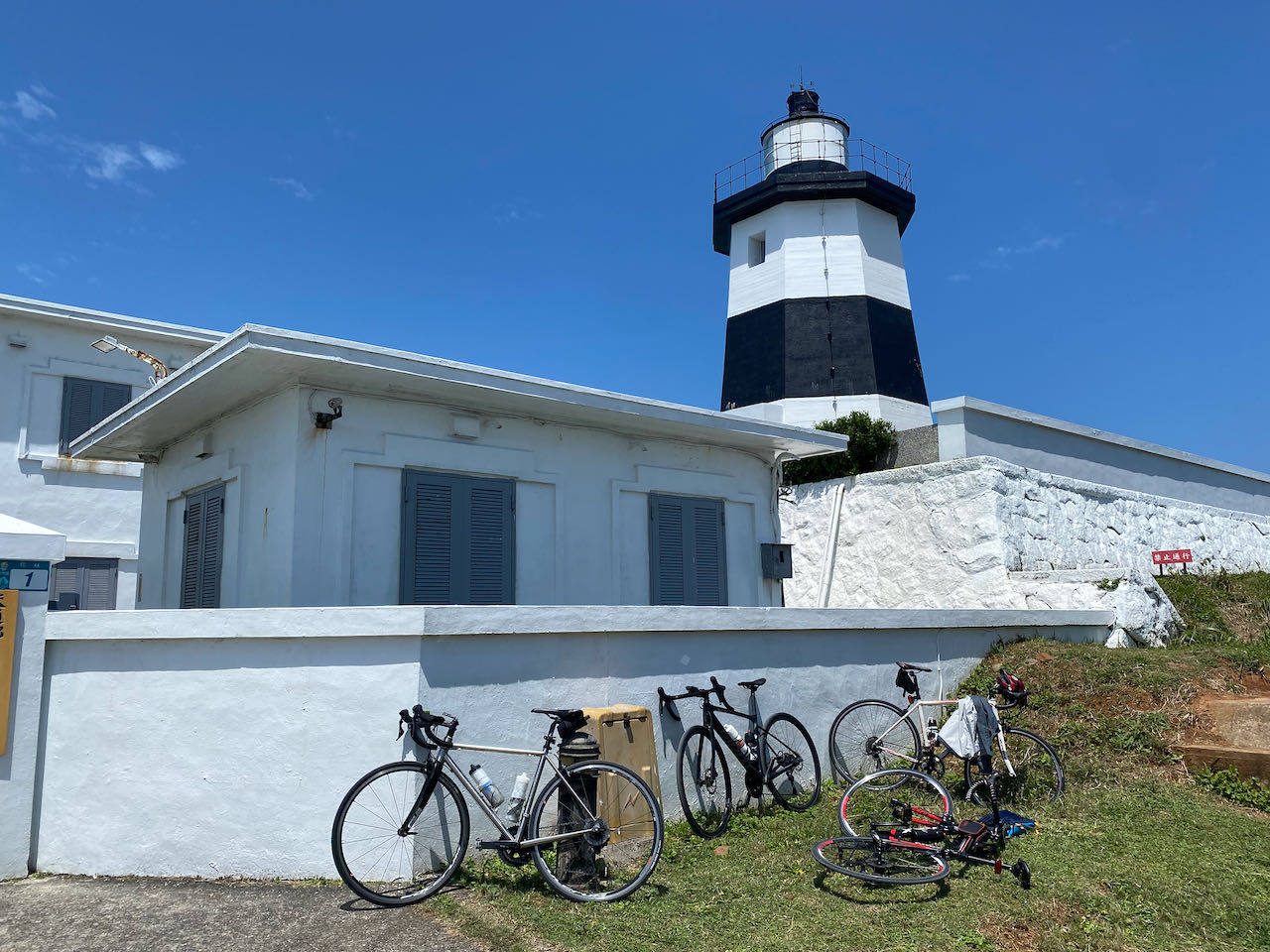
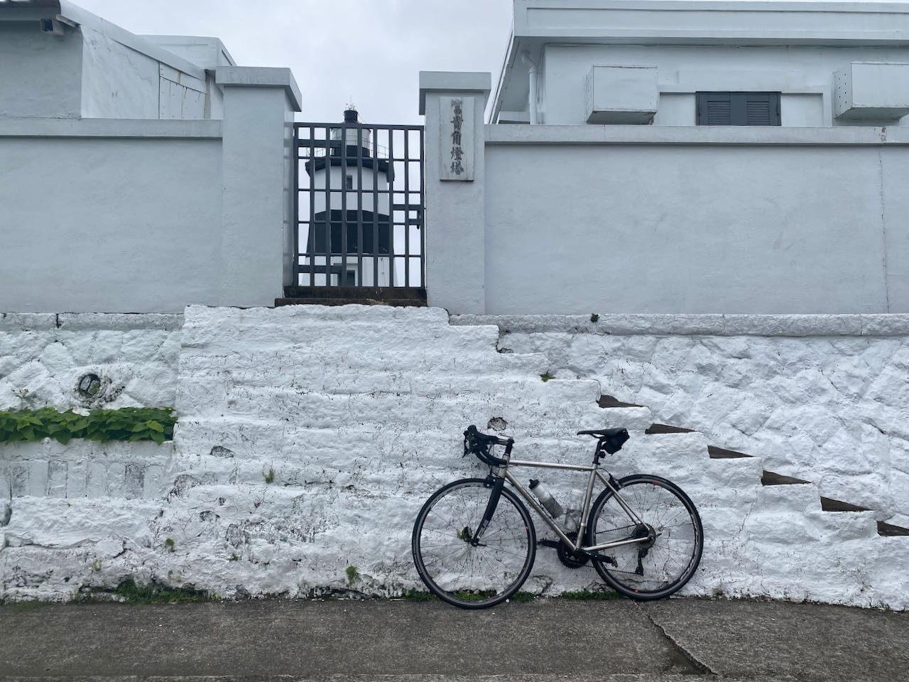
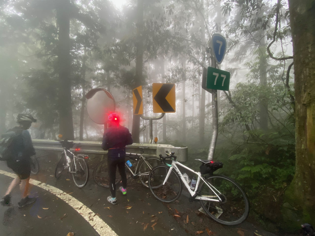
    When following this route clockwise, after visiting Fuguijiao, the North Extreme, and Sandiaojiao, the East Extreme, the journey continues with a challenging climb to Wuling from Yilan along Provincial Highway 7 and 7甲 (7A) via Lishan. This particular route is also known as the ‘Northern Approach to Wuling’ or ‘北進武嶺’.

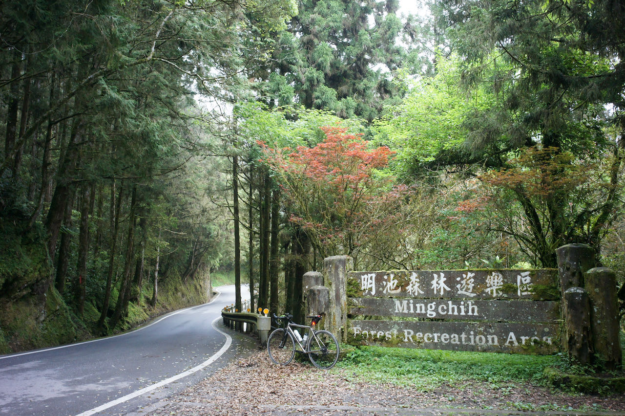
    As you progress between Lishan and Yilan, you’ll find several accommodations scattered along Provincial Highway 7甲 (7A) to choose from. When booking your stay, please ensure that they offer meals, as there are no nearby restaurants. For resupply options, there is one grocery store in Taiping, one FamilyMart in Nanshan Tribal Village, and one 7-Eleven in Huangshan Tribal Village as you make your way from the bottom to Lishan. 

    Lishan is considered an ideal place to stay overnight, as it marks the beginning of the final climb to Wuling, covering a distance of 40 kilometers with a total ascent of 1,474 meters. While this distance may not be extensive, it’s essential to plan adequately for the return trip to the next hotel.

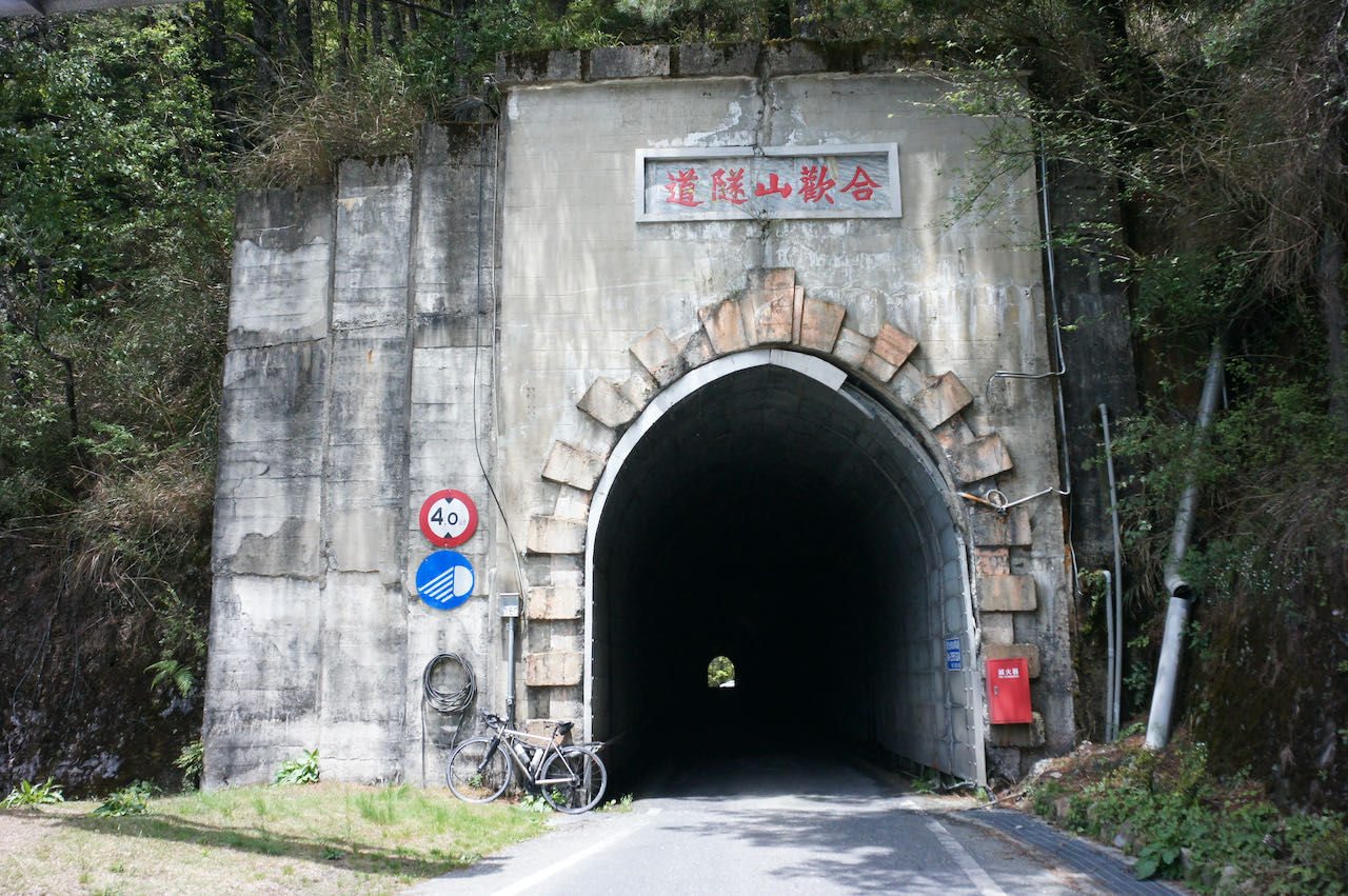
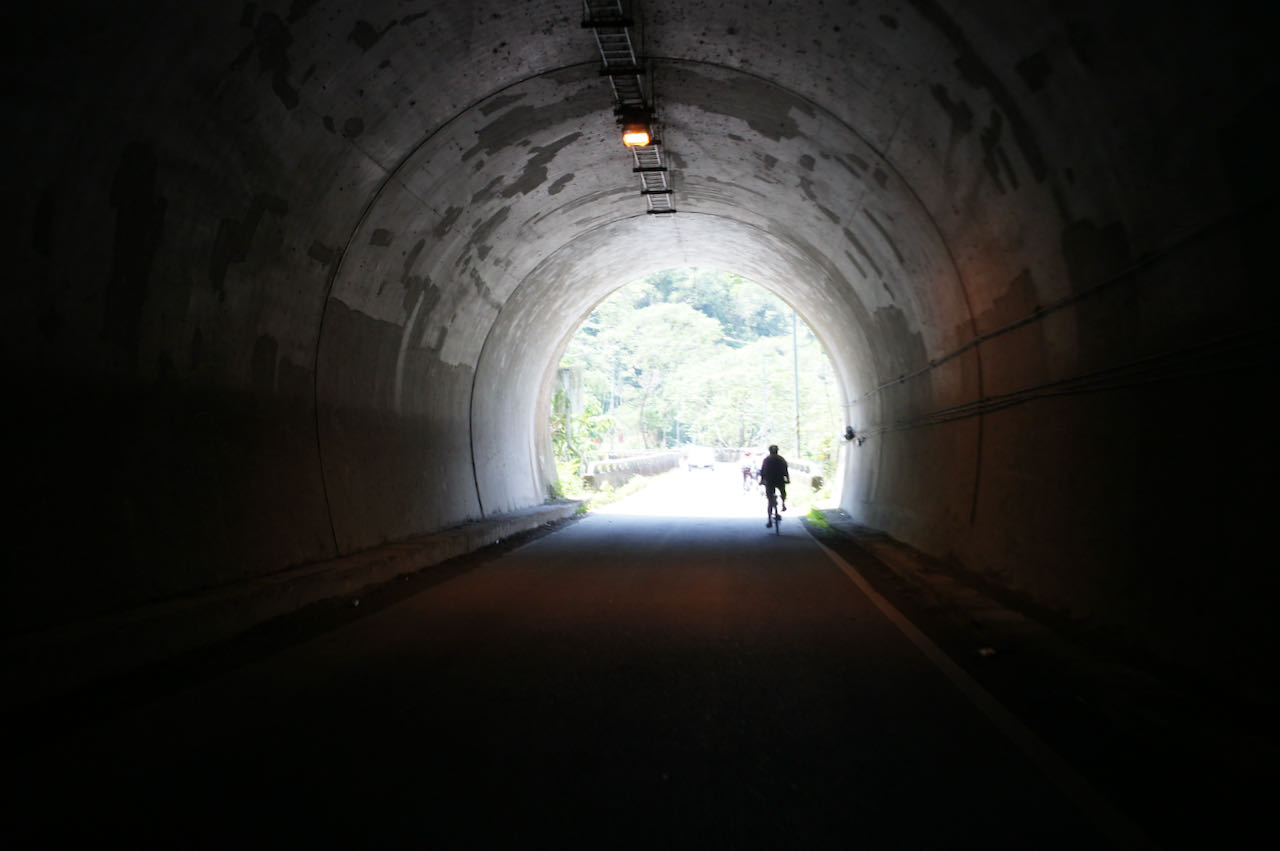
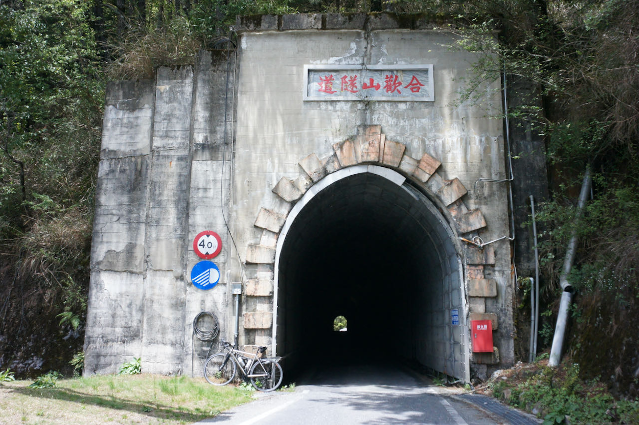
    Once you reach Dayuling and pass through the iconic Hehuanshan Tunnel, the route coincides with the anti-clockwise one, encompassing the challenging 10-kilometers ascent I’ve previously discussed. 
    It’s worth emphasising that the descent from Wuling demands caution. This applies not only to the steep 10 kilometers back to Dayuling but also the remaining descent from Dayuling to Xincheng. You’ll need to navigate a descent of 3,022 meters over 77 kilometers. If you need to stay overnight before reaching sea level, consider Kuanyun Lodge. Alternatively, upon reaching Xincheng Station or Beipu Station in Hualien, you’ll find numerous hotel options to choose from.

    Alternative Route After the 403 Earthquake in Hualien

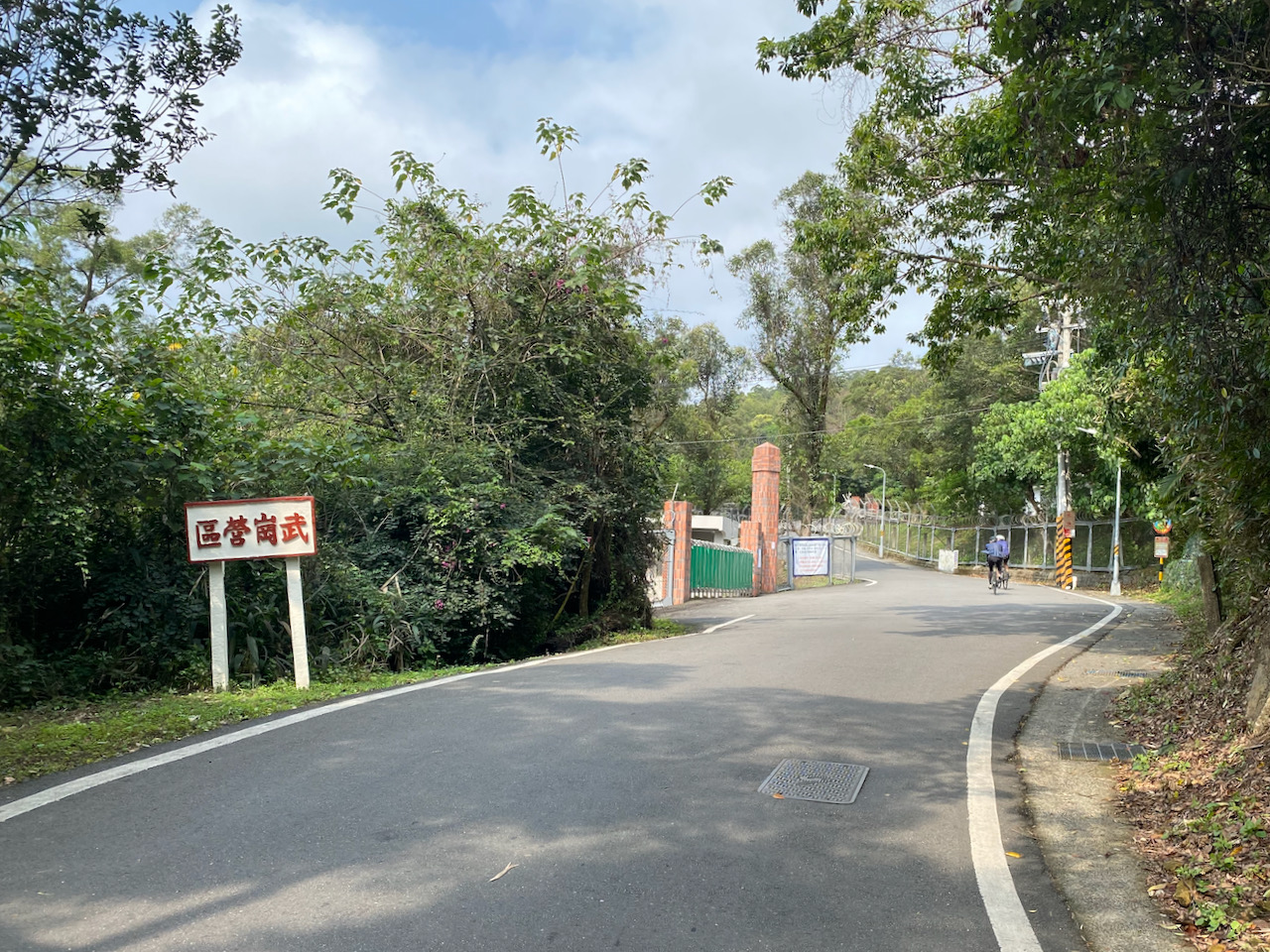
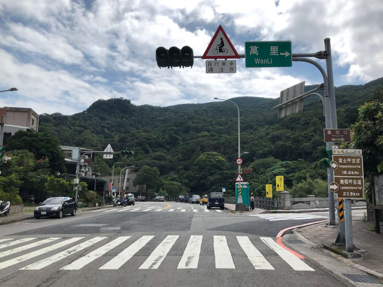
    We will head northeast from Taipei to Sandiaojiao, the East Extreme, and then ride along the beautiful coast anti-clockwise to visit Fuguijiao, the North Extreme. After checking off these two extremes, we can return to Taipei and ride along the Riverbank Bikeways until we reach Taoyuan. From there, we will climb the North Cross Island Highway to reach Datong Township in Yilan for the ascent on Provincial Highway 7甲 (7A) to Lishan. It’s recommended to plan a night there as there are hardly any hotels beyond this tourist town before reaching Wuling and descending to Qingjing or Puli for another night. In the suggested route, I guide you to the west coast and visit the West and South Extremes. However, it is fine if you prefer to stay in the mountains to head south.

    Routes Part 1:

    Routes Part 2:

  • Slit the Sweet Potato – Cycle Through Taiwan’s Mountainous Splendor (2)

    Slit the Sweet Potato – Cycle Through Taiwan’s Mountainous Splendor (2)

    I joined Eddie Chen’s southern half of the ‘Wuling Pass from the North towards Eluanbi – a 500-mile cross-country ride in Taiwan’ 北進武嶺南出鵝鑾鼻,縱斷台灣五百哩 in early November 2023 and completed my ‘Slit the Sweet Potato’ project on my bike, cycling through Taiwan’s mountain ranges. You may refer to the first post of this series for the northern half of my journey.

    During the northern half, we had already climbed Wuling, the highest paved road in Taiwan. In the second half, we cycled through numerous tea farms, and indigenous people’s settlements, all with rich cultural heritage.

    Day 1 Puli to Shuili to Heshe (Tongfu)

    In the northern half, we concluded the first part in Puli at the Stele of Taiwan’s Geography Center. This time, our support van took us there to start the ride.

    We followed County Highway 131 southwards, a beautiful and quiet route adorned with numerous Betel Nut trees. Our first stop was the Antique Assam Tea Farm, a tea plantation featuring a splendid building showcasing their machinery and the tea-making process.

    Subsequently, we took a brief detour from County Highway 131 and descended to Checheng Station, the terminus of the Jiji Railway Branch line running from Ershui Station. The section from Jiji Station to Checheng is currently undergoing repairs, and no trains are scheduled to run until the end of 2025.

    The Township Road 投59 was the highlight of the day. To allow more time on this route, we bypassed 15km of Provincial Highway 21 by utilizing our support car after having lunch at Shuilie. Township Road 投59 is a narrow road connecting several settlements of the Bunun and Tsou Indigenous people, including Luona (for an interesting post about this village, click here), Mamahavana, and Toungfu in Heshe, Nantou County. While cycling on this route, we could witness various crops cultivated by local farmers, enjoy a bird’s-eye view of the valley, and experience close-up views of the villages.

    Route

    NOTE: To use the routes, please install the App on your smartphone. The App will launch and load the route automatically after you tap the above links on your smartphone’s browser. For Garmin Connect, you can then use the APP to send the route to your garmin device. If your Garmin device is not purchased in Taiwan, you will also need make sure you have the Taiwan map on your device. Here is our blog post on this topic.

    Day 2 Tongfu to Tataka to Shizhao (石卓), Zhuqi Township

    We bid farewell to Tongfu and commenced our 41 km ascent on the majestic Provincial Highway 21, surrounded by mountains. To reach the peak of Tataka, a popular gathering point for hikers, including those bound for Yushan or Mount Jade, the island’s highwest summit, we needed to ascend more than 2000 meters. It’s crucial to note that the section from Caopingtou to Tataka is only open during daytime and closes from 17:00 to 7:00 the next morning due to the risk of falling rocks.

    With the assistance of numerous short tunnels cutting through the hills and easing the slopes, the gradient wasn’t too steep. As we ascended, fog began to gather, with vaporised water in the air condensing into droplets as the temperature dropped at higher altitudes. 

    During a pause to take pictures, I encountered two strong cyclists, each carrying two full loads of pannier bang on a self-supported tour. They had started from Sun Moon Lake in the morning, aiming to reach Alishan that day, covering a respectable 110 km with 2620 meters of elevation gain. At our supply stop, our driver provided them with various calorie-rich snacks to ensure they had enough “fuel” to reach their destination. 

    Tataka, situated at an elevation of 2600 meters, marked the highest point of our trip. Eddie mentioned that it typically rains on the other side, especially when the winds blow from the south. We concluded the ride at the top, and our car took us to the Tefuye Historical Trail and the Erwanping Train Station for some short hikes. 

    The Tefuye Historical Trail, once Tsou Indigenous People’s hunting trails, was utilised during the Japanese rule period for transporting logs via railways. Now it’s a picturesque hiking trail stretching more than 10 km. 

    Erwanping Train Station is one of the stations of the Alishan Forest Railway, which is not yet fully operational until the summer of 2024. That station offers a platform with a view of the majestic mountains. As no trains were running on this station yet, we walked on the track to see a tree with a giant hole. We left Nantou County and entered Chiayi County. 

    Route

    NOTE: To use the routes, please install the App on your smartphone. The App will launch and load the route automatically after you tap the above links on your smartphone’s browser. For Garmin Connect, you can then use the APP to send the route to your garmin device. If your Garmin device is not purchased in Taiwan, you will also need make sure you have the Taiwan map on your device. Here is our blog post on this topic.

    Day 3 Shizhao to Xiaolin Village Memorial Park, Car ride to Baolai Hot Spring

    We continued our descent along Provincial Highway 18 in Alishan Township after reaching Tataka the previous day. The views of the mountains, adorned with numerous tea farms, remained stunning even at lower altitudes. Eddie then led us onto Qinshan Industry Road, a steep and winding small road that brought us to Chashan Village (also known as Chayamavana), where Bunun, Tsou, and Han people live together. Here we had the opportunity to see coffee trees cultivated by the indigenous tribes.

    The afternoon featured a culminating ride through the breathtaking canyon southwards along Provincial Highway 29 from Namaxia District. Provincial Highway 29 runs along the Qishan River, switching between the right and left bank numerous times. Each river crossing presented us with a gigantic rock cliff, resembling a cinema screen. It was truly a unique cycling experience!

    We concluded our ride at Xiaolin Village Memorial Park. Beneath this memorial park lies a village where over 400 lives were buried in a landslide caused by Typhoon Morakot in 2009. It serves as a poignant reminder to respect Mother Nature and prioritise safety when exploring the mountains.

    We spent a relaxing night in a hot spring hotel in Baolai, Kaohsiung.

    Route

    NOTE: To use the routes, please install the App on your smartphone. The App will launch and load the route automatically after you tap the above links on your smartphone’s browser. For Garmin Connect, you can then use the APP to send the route to your garmin device. If your Garmin device is not purchased in Taiwan, you will also need make sure you have the Taiwan map on your device. Here is our blog post on this topic.

    Day 4 Baolai Hot Spring to Wutai

    Today, we entered the arena of the Rukai People, which holds special meaning for me as the brand of my bike, Rikulau, is named after the sacred animal of the Rukai People – a clouded leopard. Legend has it that this creature left a footprint trail to the Rukai ancestors, leading them to a forever land for their children in the deepest forest at the foothills of Da-Wu Mountain.

    As we continued our ride southwards to slit the sweet potato, we made two detours to climb to Duona in Maolin District for a lunch stop and Wutai for an overnight stay – both are Rukai villages. The most common plaster figures found on the walls of the buildings in the village are of people wearing lily flowers on their heads, signifying a prestigious status that needed to be earned. For a Rukai man, it meant hunting six or five wild boars, while for a Rukai woman, it symbolises virtue and chastity.

    Route

    NOTE: To use the routes, please install the App on your smartphone. The App will launch and load the route automatically after you tap the above links on your smartphone’s browser. For Garmin Connect, you can then use the APP to send the route to your garmin device. If your Garmin device is not purchased in Taiwan, you will also need make sure you have the Taiwan map on your device. Here is our blog post on this topic.

    Day 5 Wutai to Eluanbi

    We had an early ride today in Wutai to witness the sunrise in the mountains. Afterward, we took a walk in the Rukai village before breakfast. 

    Our visit included the last indigenous village of our trip: Linali Village. Established after 2009, it was built to accommodate the displaced victims of the Paiwan and Rukai people after Typhoon Morakot destroyed their homes. A well-written post about how the artist striked to preserve the culture in this village here.

    As we descended closer to sea level to Wanluan Township, we entered areas mostly inhabited by the Han Chinese. During the Qin rule period around 1683-1695, this region served as a frontier between the indigenous peoples and the Han Chinese, beyond the reach of the Qing administration. The Catholic Church filled this vacuum by providing welfare and protection to the people. The beautiful Wanjin Catholic Basilica was built in 1869, but its history dates back to 1861. In 1875, the Qing emperor recognized the church by erecting stone tablets in front of it after his imperial envoy reported people living in harmony under the influence of Catholicism. In 1984, Pope John Paul II conferred the title of “Basilica” (the highest rank of Catholic churches) upon the church. 

    After enjoying the famous braised pork ham hock for lunch in Wanluan, our car took us to Hengchun to finish the last leg to Eluanbi. We cycled eastwards on County Highway 200 and 200甲, then southwards on Provincial Highway 26 along the east coast, offering picturesque landscape and the deep, vibrant blue of the sea.

    Finally, we reached the southern tip of the island and visited the pristine Eluanbi Lighthouse, standing calmly in the park. 

    Route

    NOTE: To use the routes, please install the App on your smartphone. The App will launch and load the route automatically after you tap the above links on your smartphone’s browser. For Garmin Connect, you can then use the APP to send the route to your garmin device. If your Garmin device is not purchased in Taiwan, you will also need make sure you have the Taiwan map on your device. Here is our blog post on this topic.

    Conclusion

    Eddie has crafted such a fantastic itinerary to showcase the mountains of Taiwan within a limited time frame. Not only is he well-versed in the road conditions of the route, but he also knows the optimal times to reach specific locations. Working seamlessly with our driver, he skillfully skipped some less interesting parts to ensure we arrived at certain places at the perfect moments. His dedication to exploring the mountains, climbing numerous hills to meet indigenous peoples, and highlighting the best of Taiwan’s mountainous terrain reflects his deep love for the island. I feel incredibly fortunate to have joined his tour.

    In addition to cycling in a group with a support vehicle, there are various ways to experience cycling in the mountains of Taiwan. One can immerse and roam in the mountains with no fixed schedule, staying in villages and connecting with the local people for more extended periods. Alternatively, a short 3-day trip can cover a smaller part of the mountains, as the urban areas can be reached easily. For those seeking a challenge, a fast-paced approach is possible. The Taiwan Mad Bike Association, for instance, offers a cycling challeng along the mountain within 3 days – Taiwan Twin Towers via the central line.

    Regardless of your preferred style, adequate planning, monitoring road conditions, and observing the weather are essential.  Be responsible for your own safety and the mountains will reward you with unforgettable experiences.

  • Five Cycling Routes to Explore Yangmingshan

    Five Cycling Routes to Explore Yangmingshan

    Yangmingshan National Park is one of Taiwan’s nine national parks, renowned for its volcanic terrain, breathtaking peaks, and tranquil lakes. The park offers a variety of hiking trails that allow visitors to explore and savour panoramic vistas, including the renowned Seven Star Mountain and the picturesque beauty of Xiaoyoukeng. Due to its elevation of over 800 metres, well-maintained roads, and convenient accessibility from Taipei, it has become a favoured destination for cycling enthusiasts.

    The nearest starting points to climb the mountain from Taipei are accessible via the Riverside Bikeways, which are Yangde Boulevard (Provincial Highway 2A or 2甲) and Zhishan Road, followed by Pingjing Street. Yangde Boulevard is a less steep and more easily navigable option, but it often experiences heavier traffic. To avoid inhaling exhaust fumes while pushing my lungs to their limits, I generally prefer not to choose this route for climbing, unless it’s early in the morning. Descending on Yangde Boulevard, however, is less physically demanding and can be completed relatively quickly. On the other hand, despite its steeper incline, I personally enjoy taking the Zhishan Road and Pingjing Street route the most, as encounters with cars are infrequent.

    If steepness is not your preference, County Highway 101 followed by County Highway 101A or 101甲 provides a more gentle approach. However, you need to get to Hongshulin to begin the climb. If you prefer not to ride there, you may take an MRT (Mass Rapid Transit) instead. The other two starting points, Jinshan District and Sanzhi District, are quite remote from the city centre.

    Here, I have plotted different routes with varying lengths and difficulties for you to choose from.

    Route 1: Ascend Pingjing Street, Descend Yangde Boulevard 36km 982m Total Ascent

    It’s a 17 km climb that takes you to Lengshuikeng Visitor Centre at 746 m where you can see the vegetation changes. Then the final kilometres on the Zhonghu Road of Armaments (中湖戰備道路) offer a captivating panoramic view with stunning vistas of the surrounding mountains. Upon reaching Xiaoyoukeng Visitor Center, you can take a short walk on a pleasant hiking trail to explore a volcanic steam vent area (fumaroles), provided you are comfortable leaving your bike unattended for an hour. If you have more time, you can take a detour to the Bamboo Lake where you can find many restaurants and flower farms. For the descent, you can take Yangde Boulevard to return to Taipei city. There is a smooth transition to get to the Riverside Bikeways that connect to the other area of the city.

    This is a flexible route. If you wish to shorten your ride before completing the climb, there are several shortcuts available that can take you directly to Yangde Boulevard.

    Routes:

    NOTE: To use the routes, please install the App on your smartphone. The App will launch and load the route automatically after you tap the above links on your smartphone’s browser. For Garmin Connect, you can then use the APP to send the route to your garmin device. If your Garmin device is not purchased in Taiwan, you will also need make sure you have the Taiwan map on your device. Here is our blog post on this topic.

    Route 2: Ascend Pingjing Street, Descend Balaka Highway (County Highway 101A or 101甲)  48 km 1267 m Total Ascent

    The climbing is the same as Route 1. However when you reach Erziping Visitor Center, you have the option to continue climbing towards the Mount Datun Air Navigation Station. This segment spans 2.36km with a total ascent of 247 m, resulting in an average gradient of over 11%. I recommend attempting this climb only under favourable weather conditions. 

    Descending on Balaka Highway (101A or 101甲) is a fun and thrilling experience due to ideal level of steepness. It’s a quiet road, but please remember not to assume sole ownership of it  as occasional cars may pass by. On County Highway 101, you’ll come across Wuji Tianyuan Temple, distinguished by its building that resembles an umbrella. The temple boasts a beautiful cherry blossom garden, which is worth visiting during the appropriate season, typically around March and April. 

    At the end of the descent, you will find yourself in Tamsui, an area with numerous tourist attractions. Among my favourites are the Hobe Fort and Fort San Domingo.

    From there, you have the option to cycle back to Taipei using the Riverside Bikeways or simply take the MRT from Hongshulin Station

    As I mentioned earlier, Balaka Highway (101A or 101甲) is less steep to climb. Therefore,  this route is equally enjoyable when done in reservse.

    Routes:

    Route 3: Ascend Pingjing Street, Descend Yangjin Road (Provincial Highway 2A or 2甲), Ascend again to Fenguizui 74km 1597 m Total ascent

    This route features two climbs. The first climb follows the same route as Route 1. By descending to Jinshan District, you will reach the picturesque north coast. The Yehliu Geopark offers a plethora of fascinating orange rock formations to explore. Afterward, you can resupply and embark on your climb back to Taipei via Fengguizui (600 m), following the suggested route. 

    Alternatively, you may cycle to Keelung through the Waimushan Seaside Scenic Area followed by a comparably flat route on Provincial Highway 5 to get back to Taipei. Yehliu to Keelung is a refreshing route to cycle. The Keelung to Taipei leg has nothing to boast of. Sometimes, I prefer to take the train from Keelung back to Taipei, alighting at Nangan, Songshan or Wanhua station. Normally, before 15:30 each day, there are 1 to 2 trains every hour that accommodate unbagged bikes. After 15:30, you’ll need to wait until 18:16.  For more details about taking trains with you bikes, refer to the provided link here

    Routes:

    Route 4: Ascend Pingjing Street, Descend to Jinshan, Ascend again on County Highway 101 and Balaka 96 km 1985 m Total Ascent

    This route features two climbs on Yangmingshan. The first half of this route is the same as Route 3, but we would head west after descending to Jinshan District and cycle along the invigorating and magnificent north coast. On weekends, you can find cafe trucks near Jhungjiao Bay. The Fugui Cape Park,  situated on the northern tip of Taiwan’s main island, presents a pristine lighthouse and is an idyllic place to visit. After a short ride from Fugui Cape, there is a popular sticky rice dumpling restaurant that provides a delicious calorie boost at a very reasonable price. The final climb begins at Sanzhi District, where you can restock your supplies. At the junction of County Highway 101 and 101A (or 101甲), there is a convenience store for further provisions before reaching the top. As you finish descending on Yangde Boulevard and check your Strava, you’ll notice you have traced a big fist on the map. Therefore, I suggest we name it the Budha’s Fist as the 5th Route is referred to as the Budhda’s Palm, a route that deserves a dedicated post

    If you don’t want to make the 2nd climb, you can simply cycle straight to Tamsui and return to Taipei. The route is a little hilly but the total ascent is smaller. 

    Routes:

    After cycling these 5 routes, there is still much more to explore within Yangmingshan National Park. The roads are well-maintained, offering numerous interesting stops along the way. Feel free to plan your own route and embark on further exploration, but it’s important to be prepared as weather conditions can change dramatically. We’ve had fellow cyclists who experienced difficulties descending from the top due to rain rapidly draining their body heat, which can lead to hypothermia. In such cases, they had to resort to hiring a van for transportation back. Stay cautious and enjoy your explorations!

  • Slit the Sweet Potato – Cycle Through Taiwan’s Mountainous Splendor (1)

    Slit the Sweet Potato – Cycle Through Taiwan’s Mountainous Splendor (1)

    The main island of Taiwan is shaped like a sweet potato, with a length of 394 km and width 144 km. On this small island, there are 274 peaks higher than 3000 metres above sea level. These peaks are located mainly on the centre and east side of the island, primarily in the Alishan Range 阿里山山脈, Central Mountain Range 中央山脈, Xueshan Range 雪山山脈 and Yushan Range 玉山山脈. Only 26% of the island is flat, mostly found on the west coast. 

    In the mountains, there are well maintained roads connecting the indigenous tribes and farms. Despite the frequent landslides triggered by typhoons, heavy rainfalls, and earthquakes resulting in the destruction and blockades of some of the roads, they are fixed quickly. If it takes longer, there will be traffic controls.

    When I first learned that Eddie Chen, a famous cycling writer, Vlogger and the founder of Trekking Taiwan, started a project in 2019 to cycle and document his trips of “Wuling Pass from the North towards Eluanbi – a 500-mile cross-country ride in Taiwan” 北進武嶺南出鵝鑾鼻,縱斷台灣五百哩 – from Fuguijiao 富貴角, the northern tip of the island to Eluanbi 鵝鑾鼻, the southern tip via the mountain ranges, my mind was blown. It is so daring and so ambitious. Yet it is so enticing for all cycling enthusiasts. Altitude gains are not avoided. You just cycle through the mountains with brute force like slitting the sweet potato 剖地瓜. The total distance covered is 760 km, with a total ascent of 26,087 metres and the highest elevation at Wuling Pass 武嶺 at 3,275 m.

    Eventually, in April 2023, I joined one of the 5-day cycling tours guided by Eddie to do the first half of this route, and here I share my experience. I hope it is going to help our fellow cyclists planning their routes.

    Day 1 Fuguijiao Lighthouse to Jiaobanshan (Distance 109 km, Total Ascent 1,789 m)

    We met up at Songshan Train Station at 6:00 am and hopped on our support car to get to Fuguijiao, the starting point. Those who want to do it by themselves without a support car can stay at the small hotels nearby in Baishawan 白沙灣 or Sanzhi District 三芝區 the night before. 

    The lighthouse was charming as usual but the weather was not particularly promising. It rained as we started our climb. The fog got thicker as we got closer to the top of Yangmingshan 陽明山. It was my first time on this volcano in such weather conditions. Dirt stuck on my bike’s rims and made some unpleasant grinding noise as I hit the brake, especially on the steep descending. I have a decent robust aluminium wheelset, but I was worrying about the pads. They might not make it if we were going to have five days of long, steep descents in wet conditions like this, even though they were thick. During the lunch break, one of our team members found her brake pads worn to the limit. As we cycled past Taipei city, we bought some more spares just in case.

    We called it a day at Dadaocheng Pier Plaza 大稻埕碼頭廣場 at 4:00 pm by hopping on our support car to get to Jiaobanshan 角板山. Dinner was booked at 6:00 pm there. The restaurant opened that day just for us. Soon the traffic would get busy. We did not want to keep them waiting. 

    Route

    NOTE: To use the routes, please install the App on your smartphone. The App will launch and load the route automatically after you tap the above links on your smartphone’s browser. For Garmin Connect, you can then use the APP to send the route to your garmin device. If your Garmin device is not purchased in Taiwan, you will also need make sure you have the Taiwan map on your device. Here is our blog post on this topic.

    Day 2 Jiaobanshan to Datong District of Yilan (Distance 86 km, Total Ascent 1,930 m)

    This was mainly my favourite Northern Cross-Island Highway 北橫公路. We have a traffic control beyond Baling 巴陵 on Provincial Highway 7 at 49.7k with only two windows to pass each day, ie., 11:00 – 12:00 and 16:00 – 17:00. Our support car brought us closer to make sure we could make it there before it was closed. Eddie made good use of the car and brought us to a bridge in a serene valley before we started cycling. Richard, an avid cyclist from Singapore who started the popular cycling group Cycling SG to Malaysia, suggested we all lay down in a circle for Eddie to take such a stunning picture.

    Weather was so nice. Everyone enjoyed cycling on such a beautiful winding road. But there were some hazards that we should be aware of. I saw signs showing the sections where falling rocks are prone to happen. In fact, some stones were spotted on the road surface. Eddie said whenever we hear some falling rocks, we should run away immediately as it could be the prelude of some larger rocks coming. 

    I totally appreciated how vulnerable we could be in the mountains when I was passing the traffic control spot. A large area of green vegetation was peeled off in a landslide exposing an unstable muddy slope. Even after months of work by the road construction workers, the road was still not recognizable. I had to get off my bike and push it through the muddy surface. I raised my camera without slowing my pace to take some snapshots but immediately got yelled at by a worker. I was supposed to pass the section as quickly as I could without doing anything else. Rocks could fall anytime. No hard feelings. My bad.

    The Northern Cross-Island Highway beyond Baling after the traffic control was so comfortable to ride. The slope was mild, and there was hardly any traffic. It was magical that there were strange interesting plants along the way.  We soon reached the last peak of the day at Mingchi National Forest Recreation Area 明池國家森林遊樂區 around 14:30, and the Northern Cross-Island Highway had led us into a deep, tranquil forest. The resort here makes a great place for a stay over or a long retreat. 

    The fog got slowly thicker as we were descending into the east side of the mountain. The humidity from the Pacific Ocean, carried by the prevailing wind, was forced to creep up the slope and condensed to form mist at this altitude where temperature was cooler. At some point I could only follow the white paint on the road side in front of my wheel to proceed. The sight of my team was long gone. My wheels were gathering water and dirt from the road and grinding with the braking pads again. As more dirt accumulated on the braking area, the noise got creepily louder. I released the brake a bit to let go of the dirt and then hit the brake again. The noise would then slowly build up again. I was glad that I bought some spare braking pads.

    I saw a red flag flying, which turned out to be a team of road maintenance workers. I was not sure what they were doing, but I really respect their hard work under such poor working conditions. With hindsight, the whole experience was so beautiful in a surreal way. 

    We gathered at the 77K of Provincial Highway 7 and got in the support car to get to a farm moonlighting as a B&B to stay over. Meeting my team and getting in the car was like waking up from a dream in a wonderland. It is said that there are steeper and wetter descents ahead before reaching the Baitao Bridge 百韜橋. Those who want to make the descent all by themselves should note that.

    Route

    NOTE: To use the routes, please install the App on your smartphone. The App will launch and load the route automatically after you tap the above links on your smartphone’s browser. For Garmin Connect, you can then use the APP to send the route to your garmin device. If your Garmin device is not purchased in Taiwan, you will also need make sure you have the Taiwan map on your device. Here is our blog post on this topic.

    Day 3 Datong, Yilan to Lishan  (Distance 61 km, Total Ascent 2,085 m)

    It was a long, steady climb along the Provincial Highway 7A to Lishan. As we gained  altitude, we were in the dreamy wonderland of fog once again. Today, I could relax mentally and enjoy the experience as climbing requires less focus than descending. 

    There were rows of cabbages growing on the fields on both sides. These white vegetables are ubiquitous in restaurants and on dinner tables in Taiwan, our daily staple. Among the several Atayal Tribes 泰雅族 along the main road, the Nanshan Settlement 南山部落 was the most important supply stop. There are two convenience stores and a gas station. Eddie and our driver loaded up lunches there for us to consume after some more climbing to the Siyuan Pass 思源埡口 (or formerly known as Piyanan Saddle 匹亞南鞍部), a mountain pass transferring from the Central Mountain Range to the Xueshan Range.

    It was cold once we stopped at the Siyuan Pass for lunch. I had to put on all my clothes including a polar fleece sweater, a light down jacket and a wind-stopping jacket. Humidity and thin air have drained one of our members’ body heat, making him dizzy. 

    Then the mountain did its magic. We descended from Siyuan Pass for just a few minutes and found ourselves bathing in the sun with a blue sky. The temperature jumped by more than 10 degrees. We were all energised and continued our ride to Lishan 梨山. We made it there all by ourselves. 

    Route

    NOTE: To use the routes, please install the App on your smartphone. The App will launch and load the route automatically after you tap the above links on your smartphone’s browser. For Garmin Connect, you can then use the APP to send the route to your garmin device. If your Garmin device is not purchased in Taiwan, you will also need make sure you have the Taiwan map on your device. Here is our blog post on this topic.

    Day 4 Lishan to Wuling Pass and then Ch’un-yang Hot Spring  (Distance 78.8 km, Total Ascent 1,655 m)

    Today, we reached Wuling Pass, the highest paved road of Taiwan at an altitude of 3,275 metres. The total ascent was “only” 1,655 metres, which is a typical long day climb for me. But the thin air and the steepness made it extremely challenging.

    We started from Lishan and continued the climb. The average gradient was 3.1%. It was not too bad until I reached Dayuling 大禹嶺 at 2,565 metres. Then the average gradient jumped to 8.3%. It made me feel weak especially inside the sharp hairpin turns where the steepness was way beyond the figure. It is said that the 5km between Dayuling and the Hehuanshan Service Station 合歡山服務站 is the steepest no matter if we are climbing from Hualien or Yilan.

    When we stopped before a turn to take some pictures, we noticed motorbikes and cars coming down from the top. They had to brake so intensely that smells of burnt braking pads filled the air. There was a wall padded with old tires as a buffer, just in case someone failed to slow down on that turn and hit the wall. 

    I was worrying that if I exert too vigorously, I might trigger altitude sickness. I knew how it felt when I was in Nepal hiking years ago. I failed to climb to Wuling Pass around 5 years ago when I was a novice on cycling. This was my second attempt. I did not want to ruin it. I regretted drinking a big can of beer the previous night, as it might have had an impact on my performance.  I slowly made my way up, partly cycling and partly walking. I did not mind being slow. I stopped frequently to take pictures because the stunning views after each turn were hard to ignore.

    The mountain offered a short respite by allowing me to descend 76m for around 1.2km, followed by the final 162 metres climb at an 11%+ gradient. We were lucky that the weather was so fine. I patiently climbed up the hill and made it there finally. It was magnificent up there! I lingered for a little more time to savour my accomplishment, looking at the surrounding peaks, while the rest of the team was sitting in the car ready to be taken to the hotel. I am sure I will do this again. 

    Route

    NOTE: To use the routes, please install the App on your smartphone. The App will launch and load the route automatically after you tap the above links on your smartphone’s browser. For Garmin Connect, you can then use the APP to send the route to your garmin device. If your Garmin device is not purchased in Taiwan, you will also need make sure you have the Taiwan map on your device. Here is our blog post on this topic.

    Day 5 Ch’un-yang Hot Spring to Puli ( Distance 55km, Total Ascent 855m)

    It was the last day of the trip. After climbing Wuling, most people would descend along the Provincial Highway 14甲 (or 14A ) to Puli 埔里 directly. However, Eddie led us to Wujie 武界, where the indigenous Bunun 布農族 people live. This route involved more climbing, but it was more enjoyable due to less traffic.  We had a delicious lunch prepared by a chef from the Bunun Tribe. The final descent from Wujie to Puli was not to be taken lightly. It was a steep long descent with occasional metal drain grates laid across the road, which could become slippery when wet.  

    That’s it for my 5-day trip. Thanks to the good weather in the last 3 days, my braking pads survived. In fact, there were still some lives in them. 

    Route

    NOTE: To use the routes, please install the App on your smartphone. The App will launch and load the route automatically after you tap the above links on your smartphone’s browser. For Garmin Connect, you can then use the APP to send the route to your garmin device. If your Garmin device is not purchased in Taiwan, you will also need make sure you have the Taiwan map on your device. Here is our blog post on this topic.

    Conclusion 

    I had a great time cycling with Eddie and the team members. Each one of them is an extraordinary and tenacious cyclist. Despite the limitations in the mountains, Eddie arranged clean and comfortable places for us to rest after our day-long workouts. We were well-fed with a variety of food. Our support car showed up at the best locations to provide us with supplies and access to our personal belongings. Although I did not cover the entire planned route on my bike,  thanks to Eddie’s organised tour, I was able to get a glimpse of what it is like to cycle in the mountains, especially in high-altitude locations.

    Eddie has been cycling in the mountains for years. And he is familiar with the indigenous people who live there. Every Christmas, he organises a ride in Baling to meet the Atayal people. However, on this trip, we had hardly any chance to interact with the indigenous people. Eddie explained that it was because we were accompanied by a support car. People knew that we would be well taken care of and didn’t require their help. When Eddit travelled with just his bicycle, the barrier between people were gone. He often encountered generous individuals who were ready to share the best food from their kitchen and hospitality with him.

    As a free-spirited individual, I prefer embarking on cycling trips planned by myself. In an ideal world, I enjoy carrying my own luggages and roaming in the mountains at my own pace. However, as a father of two small kids and with a company to run, I am unable to do so at this stage. If you are an experienced cyclist who knows your abilities, you can do such trips independently. Just ensure to meticulously plan your route, including supply stops and accommodations.

    Keep an eye on weather conditions and potential road blockages. Be aware that there are some areas without cell phone signals. Some of our customers had done their own research and plotted their route in the mountains like this. All they need is a brief comment from me regarding the latest condition and then a bike and some necessary accessories from our end. 

    If you wish to plan your own trip, there are several useful sources of information:

  • Cycling Route: Taiping 36 Bends – Climb Training

    Cycling Route: Taiping 36 Bends – Climb Training

    Taiping 36 Bends, or Meishan 36 Bends 梅山36彎 as known in Chinese, is a 15km route with 800m elevation gain in Meishan, Chiayi. It’s famous among local cyclists for its 36 hairpin turns and beautiful scenery along the way. It’s also the course of a popular cycling challenge. Even if you are not participating in the challenge, anytime when you have completed the course, you can get a certificate from the local government office by paying a nominal admin fee of NT$100. 

    I hadn’t had a chance to ride this route because it is more than 250 km away from Taipei, where I live. Invited by my cycling fellows, I finally decided to do it on a Saturday in January by joining a cycling group in Taiwan.

    In the small hours of that Saturday, we boarded a coach bound for the starting point with our bikes. We were going to spend the morning cycling and then hop on the same coach to get back to Taipei later in the day.

    We arrived at Meishan Park, the starting point, around 8:00 a.m. and started our ride right away. The climb began immediately. I wasn’t quite ready for it after a sleepless night. But then there was the sign of the first bend which is stylised as Traditional Chinese paper cutting in bright red. It was encouraging to me. Some of our group members decided to take pictures with all the 36 signs. 

    As we slowly passed more bends and gained our elevation, we got better and better views of the Chiayi-Tainan Plain 嘉南平原. After spending 2 hours climbing and finishing all the 36 bends, we reached Taiping Old Street. Actually there is much much more to climb if you want to. You can reach Alishan National Forest Recreation Area ultimately at 2,200m of elevation. I would like to do a multi-day cycling trip with that as the destination.

    It would have been fun to descend back to Meishan Park via the 36 bends, but we had other plans. We continued on the Township Road 嘉154, saw lots of beautiful tea farms and reached Liyuanliao Station 梨園寮車站, one of the stations of the Alishan Forest Railway. The long descent back to Provincial Highway No. 3 was mild and long without many bends. It was a very pleasant ride but it could be dangerous as we accumulated more speed while comfortably going down hill with our alert level getting lower. Sandy said she could have fallen asleep.

    We cycled back to Meishan Park for lunch along Provincial Highway No. 3 and then took the coach back to Taipei. It was totally dark when we were back home.

    Doing It Yourself


    To ride this route without joining an organised tour, you can take a train to Dalin Station, which is around 13 km from Meishan Park. It’ll take around 5 hours from Taipei to Dalin. The other option is HSR, which takes around 1.5 hours to get from Taipei to Yunlin Station, about 28 km away from the starting point. Here are some details on how to take public transportation with a bike. Please note that there is only one convenience store as a decent supply stop at Taiping Old Street. Some grocery stores can be found on GoogleMaps after passing Taiping Old Street, but I am not sure about the opening hours. So, plan your water consumption and supply carefully.

    Route:

    NOTE: To use the routes, please install the App on your smartphone. The App will launch and load the route automatically after you tap the above links on your smartphone’s browser. For Garmin Connect, you can then use the APP to send the route to your garmin device. If your Garmin device is not purchased in Taiwan, you will also need make sure you have the Taiwan map on your device. Here is our blog post on this topic.

  • Cycling Route: Buddha’s Palm – Climb Training

    Cycling Route: Buddha’s Palm – Climb Training

    The cycling route known as “Buddha’s Palm” 如來神掌 is one of the most challenging route in Taipei and New Taipei. It consists of a total distance of 135km and an accumulated elevation gain of 3,130 metres. Those who have completed the route will find themselves climbing over the Yangmingshan twice and drawing a palm in their GPS tracking apps. In order to draw a finger, you need to climb from the north coast at 280m to the hillsides of Yangmingshan at 500m. In total, there are 6 climbs to complete. The downloadable GPX file of this cycling route is at the end of this post. 

    Recently we had a customer from Europe, a Taiwan KOM finisher, who hired a bike from us just to do this route. I did some research to provide him more information to help him achieve his goal. Might as well share it here with all of you.

    “Start as early as possible, like 5:00 a.m.” is the first advice I got from a fellow cyclist who completed this route last November. It is a long route that involves a lot of climbing and descending. We should try to finish it when we still have daylight. Descending in the dark is dangerous especially when we are tired on the last leg. Some would even start at 3:00 a.m. or 4:00 a.m. for the long climb at the very beginning and do the first descent when the sun comes out. This is particularly applicable in winter as we have only around 10.5 hours of daylight with the sun setting around 17:15.

    “Wind did not seem to be an issue. But there are some segments that could be very very steep, so be careful when descending”, my fellow cyclist gave me this advice when I was trying to figure out if we should do it clockwise or anticlockwise by taking the wind and the terrain into consideration. She recommended doing it anticlockwise. Though wind was not an important parameter,  the prevailing wind in winter coming from the north-east did make it easier in the coastal open area when doing it anticlockwise. And in summer, the prevailing wind is not strong.

    For supplies, except for the middle finger, you can find at least one convenience store (7-eleven, Family Mart or Hilife) before each climb on the forearm and the fingertips. In those convenience stores, you can find various kinds of drinks, energy gels, chocolates, bananas and even some simple microwave hot meals. At the middle fingertip, there are some small grocery stores around for you to buy water.

    Toilets can be found in most of the convenience stores but it was not open to the public due to the Coved-19 alert level 3 when my customer was to take on this challenge. Clean public toilets can be found easily in those tourist spots like LengShuiKeng 冷水坑, Fuguijiao (or Cape Fugui) 富貴角 and the beginning of the GPS route available in this post. Some petrol stations will open their toilets to the public too.

    Those spots for supplies and toilets are marked on GoogleMaps for your easy reference.

    For contingency, we can use Provincial Highway No. 2 to get to Tamsui. You may also board the MRT at Hongshulin Station if the time is right. Please refer to this post for more details. Some taxis or Ubers may also be willing to take you with your bike.

    Good luck and all the best if you are planning to do the Buddah’s Palm. 

    Route:

    NOTE: To use the routes, please install the App on your smartphone. The App will launch and load the route automatically after you tap the above links on your smartphone’s browser. For Garmin Connect, you can then use the APP to send the route to your garmin device. If your Garmin device is not purchased in Taiwan, you will also need make sure you have the Taiwan map on your device. Here is our blog post on this topic.

  • Cycling Route: Guanyinshan – Climb Training

    Cycling Route: Guanyinshan – Climb Training

    Guanyinshan 觀音山 is another popular cycling destination for a quick climbing exercise at the north-west side of New Taipei City, right next to the the left bank of Tamsui River. It makes it easily accessible via the Riverside Bikeways. I went there for a half day cycling exercise with my friend Tom on a Sunday in December 2020. We met in the Shilin District 士林區 and used the Guandu Bridge 關渡橋 to get to the left bank. So, the route I plotted starts and ends at the bridge. There is a convenience store nearby on Provincial Highway No. 15 for supplies. The downloadable GPX file of this cycling route is at the end of this post. 

    The Guandu Bridge has a separated bike lane connecting the bikeways on the right bank to the left one. We cycled on the Bali Bikeway after leaving the bridge. Then, Tom led me into a small lane that merges with Provincial Highway No. 15. And soon we took a branch, TP50, on our left hand side. There were vehicles rushing at high speed. Be aware.

    The climbing started immediately on TP50. I managed to keep up with Tom and even chatted some with him. From my research the night before, I’d learned that this route could include Zhongzhi Road 中直路, which is notorious for its steepness. The altitude gains 224 metres in 2.59km, meaning an average gradient of 8.65%. There is one 600-metre segment with a gradient of 19%, so steep that a gate was built to stop vehicles over 2.5 metres from using that road. Tom said he had descended on this road before. It’s no fun at all. It isn’t my cup of tea, either going up or down!

    Fortunately Tom did not lead me onto this road. We switched to TP53 for the peak and it became steeper. Tom had long disappeared into the turns ahead. I had to take a short break. After that I struggled to clip in my clipless pedal when trying to start again. The logical procedure would be to point the bike downward when starting so that the bike would move without pedalling. That way I could balance the bike easily while I was trying to clip in my other foot. But I did not want to lose an inch of altitude in that process. So I tried to start by holding on something on the roadside to clip in both feet. It didn’t work. A fellow cyclist passing by had seen my failed attempt. He told me the way I had tried to avoid doing was possibly the best and only way. I tried and voila! I was back on the pedal with both feet. All I needed to do was ease the brakes slightly to let the bike move a little. It’s so much easier to clip back in when your legs are not responsible for powering the bike. Actually the U-turn I made was so natural that I didn’t even need to think. It was a tight, swift one and I might only just go down less than a foot.

    Tom waited for me at the top at 365 metres where there is a tourist information centre and a nice cafe. It was quite busy with some hikers who drove up in their cars to climb the 1.5km of stairways for a viewing platform at 616 metres. Guanyinshan is a lonely small hill that offers a 360 degree view of the city. It’s definitely worth the effort to get to the viewing platform if you can lock your bike safely.

    Tom and I treated ourselves to coffee and cakes before starting our descent back to the Riverside Bikeways on TP55 before noon. It is a nice route for a half day ride.

    Route:

    NOTE: To use the routes, please install the App on your smartphone. The App will launch and load the route automatically after you tap the above links on your smartphone’s browser. For Garmin Connect, you can then use the APP to send the route to your garmin device. If your Garmin device is not purchased in Taiwan, you will also need make sure you have the Taiwan map on your device. Here is our blog post on this topic.

  • Cycling Route: Fengzhongjian – Climb Training

    Cycling Route: Fengzhongjian – Climb Training

    Fengzhongjian 風中劍 is a 24km cycling route linking up a numbers of roads sprawling across Shilin District 士林區 and Neihu District 內湖區 of Taipei City. It comes with three peaks at 160m, 321m and 600m respectively, and therefore ideal for climb training. The downloadable GPX file of this cycling route is at the end of this post. 

    Its usual starting point as set in this post, Meiti Evacuation Gate, is less than 8km from most parts within the city and easily accessible via the Riverside Bikeways, which also helps make the route popular among Taipei cyclists. After each climb, you can decide whether to keep going or not, subject to your own preference, capability, or time constraint etc. The name of this route, Feng Zhong Jian, is coined by the local cycling communities by taking the first character out of the names of the major roads and locations (Fengguizui, Zhongshe Road, Jiannan Road) that make up this route. The coinage ends up with a hint of grandeur, carrying the meaning “Sword in the Wind” in English.

    Meiti Evacuation Gate is one of the access points to the Riverside Bikeways in Taipei. I can’t emphasize enough how enjoyable these bikeways are with their motor vehicle free and traffic light free paths, tranquilising views offered by the surrounding rivers and grasslands, and their vast coverage. You may refer to this post to find the access point closest to your location and have a nice warm up before the climb. Then the GPS links available at the end of this post will guide you through the route from Meiti Evacuation Gate.

    Jiannan Road 劍南路

    The first climb you would soon encounter after leaving Meiti Evacuation Gate is Jiannan Road. It is short with little elevation gain. The climb from the southern side is steeper than from the northern side. An elevation gain of 145m in 2.25km means you have an average gradient of 6.4%. Traffic is not busy on this road. Besides some fellow cyclists, you may also meet hikers occasionally. When you see the sign of Wugang Barrack 武山營區, you would have finished half the climb. When you reach the top, there will be a simple shelter for you to take a break.

    After that, head north and descend to Zhishan Road 至善路. On this side of the hill the road surface could sometimes be wet as water overflows from the drainage during wet season or after days of rain. There is also a sharp narrow turn. So, take it easy when you do it the first time. 

    When you reach Zhishan Road, you are at an elevation of 50m. Turn right for Zhongshe Road for the next climb.

    Zhongshe Road 中社路

    An elevation gain of 250m in 3.9km makes an average gradient of 6.2%. It is a cul-de-sac leading only to the residents up the hill. There are buses and cars occasionally. But it is totally fine when climbing because the road is wide with a shoulder that serves as a bike lane. At the top, there is a trail for hikers and a portable toilet. 

    Descending on Zhongshe Road is fun because there are several wide hairpin turns. But be careful with the cars and buses as we will use more road surface for turns and some cars may try to overtake bikes.

    Back to Zhishan Road, it’s time to head for the last climb.

    Fengguizui 風櫃嘴

    Shuangxi Industry Road 雙溪產業道路 and Wanxi Industry Road 萬溪產業道路 make up the climbing route to Fengguizui Lookout. An elevation gain of 412m in 6.4km makes an average gradient of 6.4% again. Although this climb is longer with more elevation gain, I found it the most enjoyable and it is one of the most popular cycling routes in Taipei.

    When you reach the top, the GPX route provided here will bring you back to Zhishan Road and the Riverside Bikeways via the National Palace Museum, using the same route that you have just climbed. Zhishan Road will reward you with a mild long descent but please be aware of the thick rumble strips, which could shake your hands off from your handlebars. So hold them tight.

    Another post for Fengguizui here

    Fengzhongjian is one of my favourite because it offers a lot of flexibility, especially for those who do not have a whole day for cycling or who are not yet competent in climbing. You can always decide when you want to stop and turn around. The route is also so accessible that some people do it in the evening.

    But if you have time to spare and don’t like returning on the same route, you may head south east after Fengguizui, which will lead you to Dahu Park 大湖公園 in Neihu District of Taipei City (TP28 → Dahu Street 大湖街) or Xizhi 汐止 in New Taipei City (TP28 → TP29) . The route to Dahu Park is quite steep while the route to Xizhi is more agreeable, wide and well maintained. 

    You may also head north along TP28 for the north coast and do a counter-clockwise route to return to Taipei via Tamsui District. There are many points of interests en route and will probably take up a full day.

    Route:

    NOTE: To use the routes, please install the App on your smartphone. The App will launch and load the route automatically after you tap the above links on your smartphone’s browser. For Garmin Connect, you can then use the APP to send the route to your garmin device. If your Garmin device is not purchased in Taiwan, you will also need make sure you have the Taiwan map on your device. Here is our blog post on this topic.

  • Cycling Route: Yulao Lookout – Climb Training

    Cycling Route: Yulao Lookout – Climb Training

    On a Friday in October 2020, I went cycling from Yingge District 鶯歌 to Yulao Lookout 宇老觀景台 (altitude 1500m) via the Northern Cross-Island Highway 北部橫貫公路 / 北橫, and then descended to Hsinchu High Speed Railway Station 新竹高鐵站. It was a 127km route with a maximum elevation of 1500m, plotted by my friend Sandy, who would be joining a cycling event the next day in Zhudong Township 竹東鎮 with her friend Teresa. The downloadable GPX file of this cycling route is at the end of this post. 

    She wanted to challenge herself by climbing to the lookout en route. She invited me to join them because the two ladies wanted a guy for company in the wilds. The route looked much like the one we did in Dongyanshan 東眼山, which I had enjoyed a lot. So I immediately said yes without putting much thought into it nor doing any further research. 

    We took a train from Taipei to Yingge and started our trip there at 7:00 am (more details about bikes on public transportations can be found here). We made good progress and merged with the Northern Cross-Island Highway at San-min before 9:00. Then we had some supplies in the convenience store Hilife at Jiaobanshan 角板山. Toilets are available in the gas station nearby. Beyond this little town, the only supplies available (bottled water and soft drinks) will be from those small stalls outside the settlements of the indigenous tribes along the road. From the two Fuxing Bridges 復興橋,  I saw some big trucks on the river bed loading up sand. That explained why there had been heavy trucks passing by occasionally.

    After hanging around there for some photos, Sandy found that she got a flat tire on her tubeless wheel. The sealant inside could only slow down the leaking, so I fixed it by installing an inner tube and at the same time gave the ladies a short course on how to do it. 30 minutes later, we were good to go.

    The Northern Cross-Island Highway (Provincial Highway No. 7) linking Taoyuan to Yilan is one of the three cross-island highways that connect the island’s east coast to its west coast by climbing over the Central Mountain Range 中央山脈. The other two are the Central Cross-Island Highway 中部橫貫公路 / 中橫 (Taichung to Hualien) and the Southern Cross-Island Highway 南部橫貫公路 / 南橫 (Tainan to Taitung supposedly). While the Central Cross-Island Highway becomes so famous because of the Taiwan KOM Challenge, the Southern Cross-Island Highway is still being reconstructed after damages caused by a typhoon in 2009. Some sections of the highway are reopening and attracting many cycling enthusiasts.

    With a total length of 130km and maximum altitude of 1250m, the Northern Cross-Island Highway is so enjoyable and suitable for cycling that I sometimes wonder if it was built especially for bikes. Road surfaces are well maintained except for some sections with the hazard of falling rocks.

    We had a great time cycling in the gorge and reached a junction called Sule 蘇樂 for lunch before 14:00. The small restaurant there was open and serving hot meals. Lucky! At that time, we had covered 53km and reached 660m altitude without spending too much effort on climbing. Yulao Lookout was around 25km away and there was around 900m to climb. And once we reached the top, we just needed to glide back to the ground level without pedalling.

    After lunch, we left the Northern Cross-Island Highway and turned to Yufend Road 玉峰道路  (TY113 or 桃113 and then 竹60-1 or HC60-1) for Yulao Lookout and then Zhudong Township, the east fringe of Hsinchu. The views were even better and we had the whole route to ourselves. Sandy was in the mood of taking short detours to find indigenous tribes settlements and take photos for her social media account. I told Teresa that we might have to descend from Yulao Lookout in the dark because the sun sets around 17:30 in October.

    The mild slopes in front of us fooled us into believing that the route ahead would be easy. Then, we hit the real climb after Yufeng Bridge 玉峰橋. It is a 750m gain in 10km to reach Yulao Outlook, an average gradient of 7.5%. We had long passed the point of no return. We had no choice but to keep going. I was not worn out yet but I needed to get off and push the bike half the time. I needed to be conservative lest I got spasm on my legs. We finally made it to the top to catch the last glimpse of sunlight at around 17:45. All the stalls were closed. Even the police station was vacant. 

    Then it went dark completely when we started to descend. The 20km of 8% downhill slope ahead was not lit. The countless hairpin turns made the descending even trickier. We had bike lights but they could not light up the road far enough. If we went too fast we would not have enough reaction time and could have thrown ourselves into the bush or rocks on any one of the sharp turns. On the other hand, my inability to descend with my hands on the drops had created another problem. I have only been using drop bar road bikes for less than 2 years. I can only do a decent with my hands on the hoods, where the braking leverage is substantially less than that on the drops. Therefore I had to squeeze the brakes very hard to limit my speed because of the slope and poor lighting. Soon I was losing my gripping power. We had to take breaks regularly for my hands to recover. The effortless downhill dive I had imagined turned out to be a survival challenge. There were cars passing by though I had no idea where they came from. One gentleman rolled down his window and yelled “Jiayou 加油” at us to give us some moral support. Thank you! That really helped. I meant it.  At least he did not say that we were stupid. 

    Sandy was not bothered by the aggressive downhill slope even though she could only cycle with her hands on the hoods, too. It’s probably because she weighs around half my weight. Less braking force was needed to control the speed. But she started to worry about the lights. We did not expect to be stuck in the mountain like this and we did not know how long the lights would last because we could not recall when was the last time we charged them. Anyway, this was just a potential problem. We should focus on getting back to the ground level. After something like forever, we finally saw a betel nut stall, the first sign of civilization. I stopped to buy a bottle of water just to reconnect with other human beings. The road was still not lit but the slope got milder which was easier to handle. Then, we were back to those well lit county highways and were able to pick up some speed to get to Zhudong Township, where the two ladies would stay overnight for the event next day.

    After a quick dinner, they went to collect their luggage from a convenience store before checking in to a hotel. They used the courier service of the convenience stores to send their stuff over so that they wouldn’t need to carry the luggages while cycling. For me, there were buses bound for Taipei that could take my bike, but I decided to take the High Speed Railway instead because it is much faster and I live close to one of the stations in Taipei. So, I hopped on my bike and cycled 12km more to the Hsinchu HSR station. When I reached the station, it was around 3.5 hours after we left Yulao Lookout. In an hour, I would be home.

    It is an unforgettable cycling trip. I will definitely try to complete the Northern Cross-Island Highway in the future. But we have to be more careful when planning for a long cycling trip in an area where the population is so sparse. We were really lucky this time. There were many things that could have gone wrong. What if the restaurant was not open? We would have to climb with empty stomachs.  What if it got cold and wet when we were heading down from the top? Our fingers would have been frozen and unable to control our speed. What if either one of our lights were out of battery… 

    Be well prepared. I don’t just mean your bike, but also your muscles. Fuel them with plenty of carbohydrates. Don’t follow your friends blindly. They don’t know your limits. Study the route beforehand and plan your time carefully. This is a lesson I learned from this trip. 

    Routes:

    NOTE: To use the routes, please install the App on your smartphone. The App will launch and load the route automatically after you tap the above links on your smartphone’s browser. For Garmin Connect, you can then use the APP to send the route to your garmin device. If your Garmin device is not purchased in Taiwan, you will also need make sure you have the Taiwan map on your device. Here is our blog post on this topic.

    Afterwords

    After writing this post, I learned the story about Daniel Greenhoe, an American PhD student studying in Hsinchu years ago, who once volunteered to teach English in a small primary school in Shihlei 石磊, after learning that the school was struggling to find an English teacher to teach the kids of the indiginous Taiya tribe. He started to travel the 60km with 1700m of climbing in the small hour of every Monday for 3 years. The vehicle he used was a mountain bike. The route he climbed was the one that had freaked me out when I was descending.

    More details here:

    https://www.taipeitimes.com/News/taiwan/archives/2006/01/17/2003289400

  • Cycling Route: Dongyanshan – Climb Training

    Cycling Route: Dongyanshan – Climb Training

    I went cycling from New Taipei’s Tucheng (土城) to Dongyanshan (東眼山; literally “Eastern Eye Mountain”) National Forest Recreation Area in Taoyuan County with a small group of friends on a Sunday in September 2020. It was a 71km loop with the maximum elevation of 913m, plotted by Sandy Wang, a cycling enthusiast. The starting point, and also the end point, is at the southern terminus of Taipei Metro’s Blue Line, Dingpu Station. The downloadable GPX file of this cycling route is at the end of this post. 

    I took the earliest metro with my bike from home and arrived at Dingpu before 7:00 am. There were already some other cycling groups gathering outside the convenience stores, of which you can be pretty sure to find one or two within the proximity of MRT stations, train stations, etc. We then had a quick breakfast and set off on Provincial Highway No. 3.

    Traffic was not very busy but there was some overhead road construction work going on along the route. It got quieter and the air became fresher as we headed into the valley on Township Road TP110 and TP TP114 (shown on Google Maps as 北110 and 北114 respectively). I loved this route already. 

    After crossing a small bridge, we switched to Provincial Highway 7B (Shown on Google Maps as 7乙). This is the Northern Cross-Island Highway (北部橫貫公路/北橫), which is one of the 3 Cross-Island Highways (橫貫公路) that could bring you to the other side of the island by climbing over the Central Mountain Range 中央山脈, and this is one of the favorite highways among cyclists and motorcyclists. We soon left the highway by turning into a small road to take a look at an old small church built by the local Atayal tribe, Jiguopai Church. Some pictures of the Jiguopai Church here.

    We had to get off our bikes midway and push them uphill because it was too steep to cycle. We heard dogs barking somewhere nearby. We made sure to stay on the road and not to step into their territory. We then met a young guy heading towards the same destination, who stopped to ask us direction. He was doing the around-the-island on his motorbike. We knew this because he had a foam board on his back showing his progress. To cheer him on and to show support, a breakfast shop owner had given him more sandwiches than he could finish before they went bad. We had the honor and pleasure to share some.

    Unfortunately, when we arrived at the church at last, we found it closed temporarily but without a solid plan as to when to open again. So, before you can be certain that it is reopened, if you are going to follow this route, it may be a good idea just to stay on Provincial Highway 7B and instead pay a visit to the Daxi Tea Factory (大溪老茶廠) enroute before heading for the next stop. 

    The next stop, a small town named Fuxing (復興), is where you can get a cup of nice peach smoothies and a roasted pork sausage seasoned with May Chang or Maqaw, a special kind of pepper. The peach smoothies store that sits right opposite the Jieshou Elementary School (介壽國小) offers unlimited refills for people with cycling outfits. Getting a refill there was on the bucket list of a member in our group. She had one item ticked off that day.

    After the treat, we were back on Provincial Highway No. 7 and then switched to County Highway TY119 (shown on Google Maps as 桃119) for the last climb to Dongyanshan. TY119 is another nice route to climb: quiet with fresh air, lots of shades, and well maintained road surfaces. 

    As we were getting closer to the top, the slope became milder and the dense vegetation disappeared, replaced by a vast view of the mountain ridges. We reached a gate (altitude 913 m) leading to the recreational area. An entrance fee of NTD 100 per head will be charged. There is a viewing platform at the peak (altitude 1212m) around 4 km from the gate. But unfortunately, the hiking trails in the paid area are not cyclable. We were also told that we could not push bikes into the paid area, where there was parking space for cars, which seems really unreasonable for me. Although there was a rack for parking bikes outside the gate, we did not want to leave our bikes unattended for hours. So, we decided to call it a day and started our return leg.

    We were back at a Y- junction, supposedly with County Highway TY119 on the left and County Highway TP113 on the right. But the road on the right looked so small and rugged that we wondered if that was really TP113. A cyclist climbing up from that road confirmed it was and the condition was not as bad as it looked outside. We descended 630 metres in 8.7km (average gradient 7.2%) via that road and had lunch in the first restaurant we saw. The descent was so quick that I had to equalize pressure on either side of the eardrum.

    Then it was a straightforward way back to Dingpu for an MRT ride home. 

    I would suggest avoiding using this road for descent when it is wet because I saw some residue of mosses even on the centre of the road. That means the road will get really slippery if it gets wet. It may be a good idea to cycle this route clockwise. The climb would be much harder but the descent would be mild and safer. Dongyanshan is said to be a difficult climb because most cyclists will do it this way.

    Follow Up:

    We wrote to the Forestry Bureau for the possibility of parking the bikes inside the gate. The message was heard and they will consider doing it.

    Routes:

    NOTE: To use the routes, please install the App on your smartphone. The App will launch and load the route automatically after you tap the above links on your smartphone’s browser. For Garmin Connect, you can then use the APP to send the route to your garmin device. If your Garmin device is not purchased in Taiwan, you will also need make sure you have the Taiwan map on your device. Here is our blog post on this topic.