Category: Cycling Routes

  • The Classic 9-Day Cycling Around Taiwan: Along Cycling Route No. 1 or Alternative Routes

    The Classic 9-Day Cycling Around Taiwan: Along Cycling Route No. 1 or Alternative Routes

    A day-by-day itinerary plan complimenting the official Cycle Route No. 1 with additional suggestions and alternate routes to enhance your experience and ensure a smoother ride.

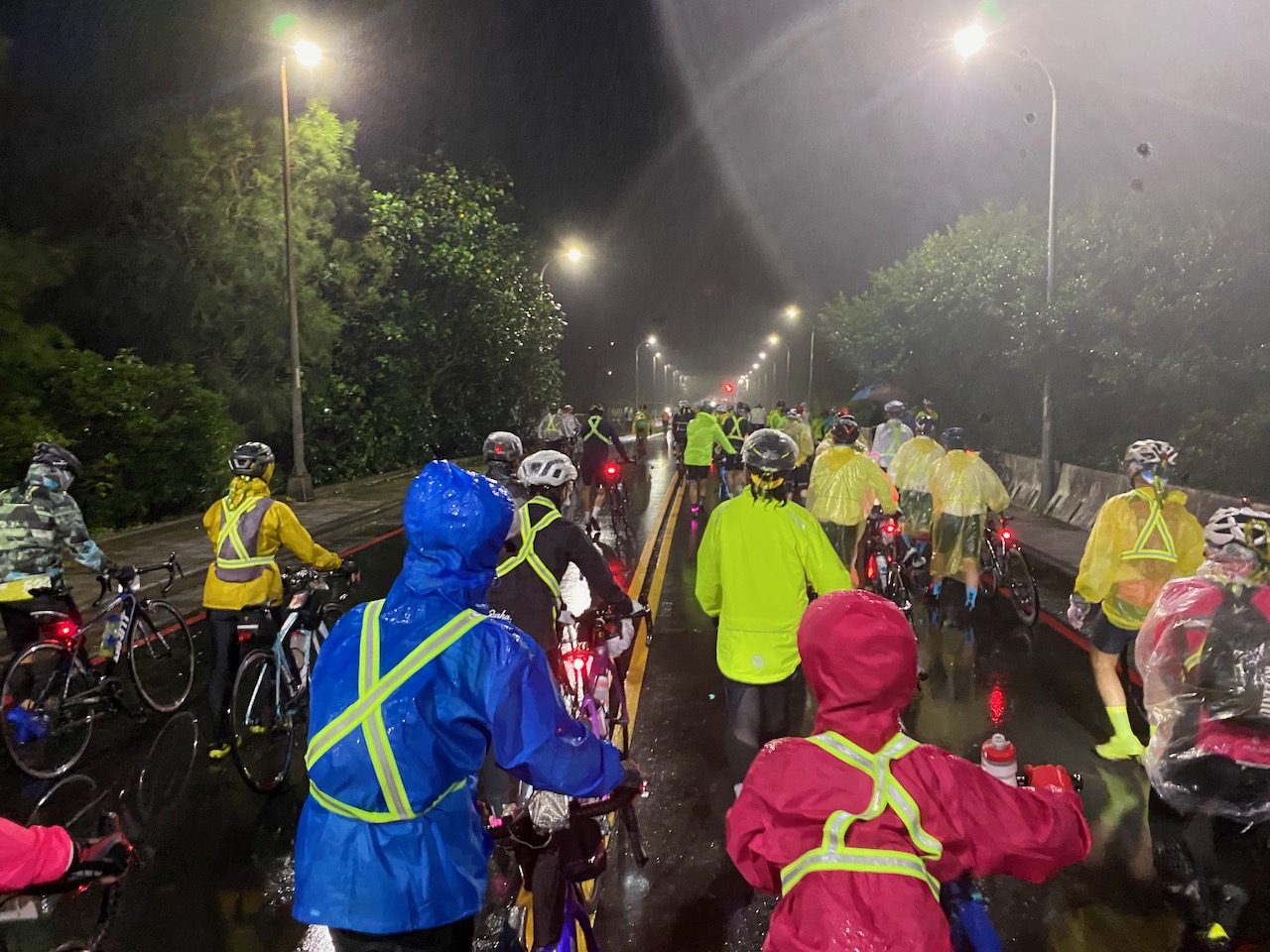
    While the Tourism Bureau’s Cycle Route No. 1 provides an excellent framework for planning our cycling trip around the island, many fellow cyclists have identified areas that can be improved. One common issue is the numerous traffic lights along the route, particularly in urban areas on the west side, which can be quite disruptive and significantly slow down the journey. 

    Through meticulous planning and routing, we can achieve a smoother and more enjoyable ride. Here, I’ve put together a 9-day itinerary that incorporates quieter alternate routes to enhance your cycling experience. It’s important to note that these alternative routes often involve smaller roads with less supply stops.

    It’s worth mentioning that the government is prompt in repairing roads damaged by earthquakes, typhoons, and monsoons. However, the priority for reparies doesn’t necessarily favour smaller roads. So, if you find that these routes are not in ideal conditions, it’s advisable to switch to the main road as recommended by Cycle Route No. 1.

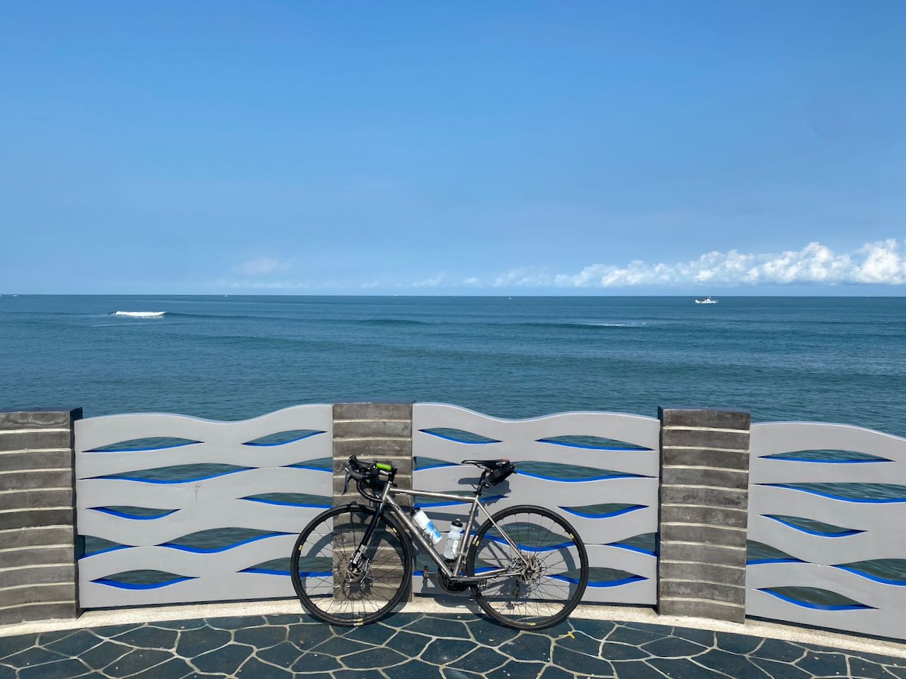
    I recommend an anti-clockwise direction because we drive on the right-hand side of the road (with the driver’s seat on the left side of the car). In this direction, cyclists can enjoy better views of the sea along coastal routes, and most attractions are conveniently located on the seaside. This eliminates the need to cross the road when stopping to visit these places. 


    This classic 9-Day itinerary aims to showcase various facets of the island, including the Riverbank Bikeways, the seafront, small towns, and farmlands, with optional detours to Sun Moon Lake. Some cyclists may find the frequent interruptions caused by unavoidable traffic lights in small towns, particularly at the end of Day 2, Day3, and Day 4, somewhat exhausting. If you prefer an uninterrupted, long straight route without frequent stops, consider using the ‘Speed Up on the West Coast’ itinerary for Day 1 to Day 4.”

    Day 1: Songshan Station (Taipei) to Hsinchu County

    Follow the rivers to reach Taoyuan and ascend for a brief climb to reach Hsinchu on the west coast.

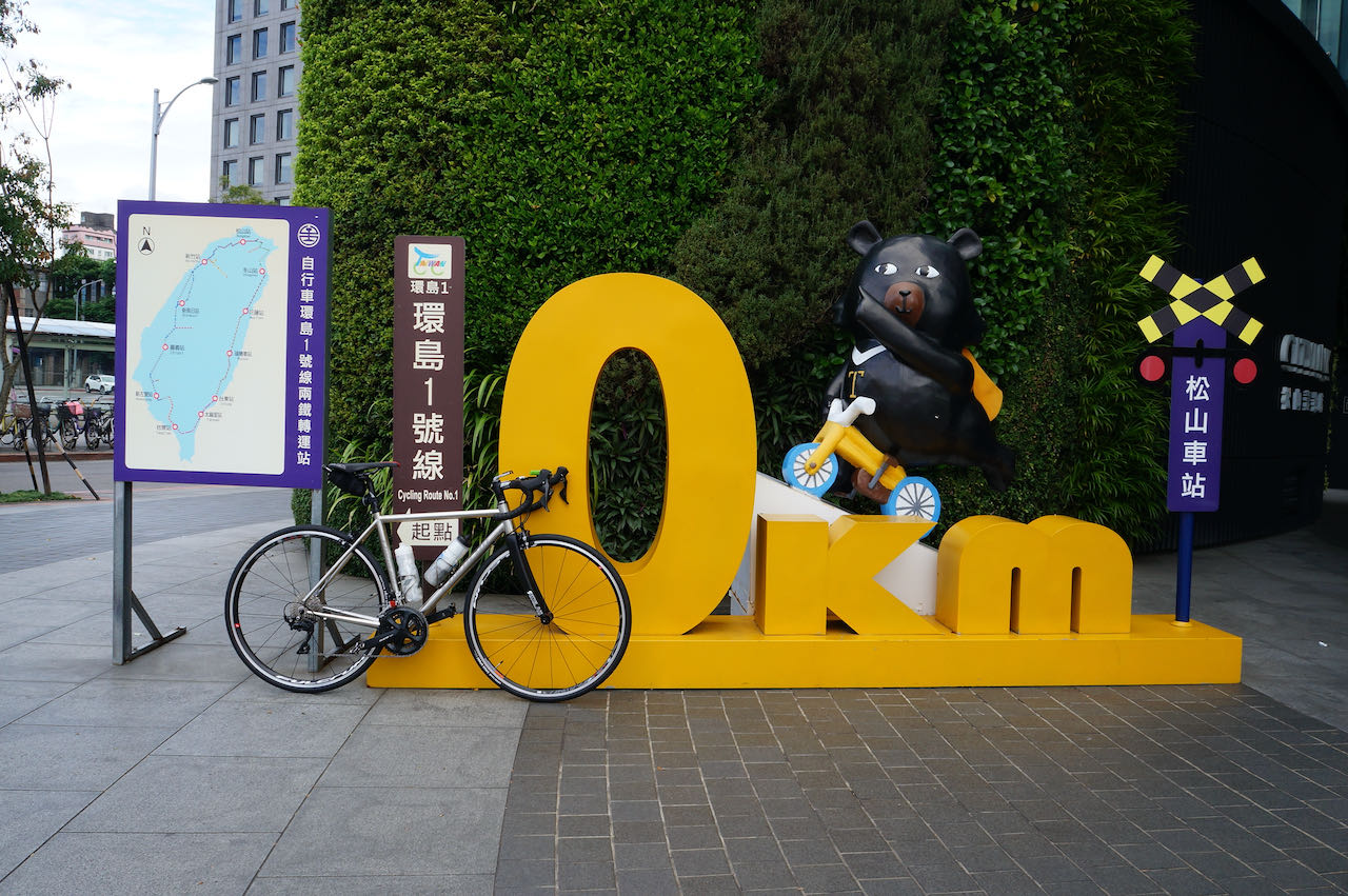
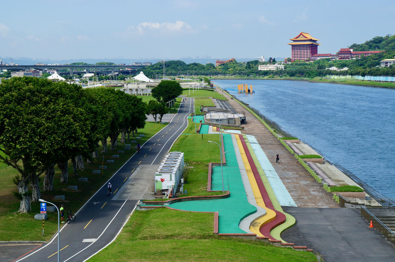
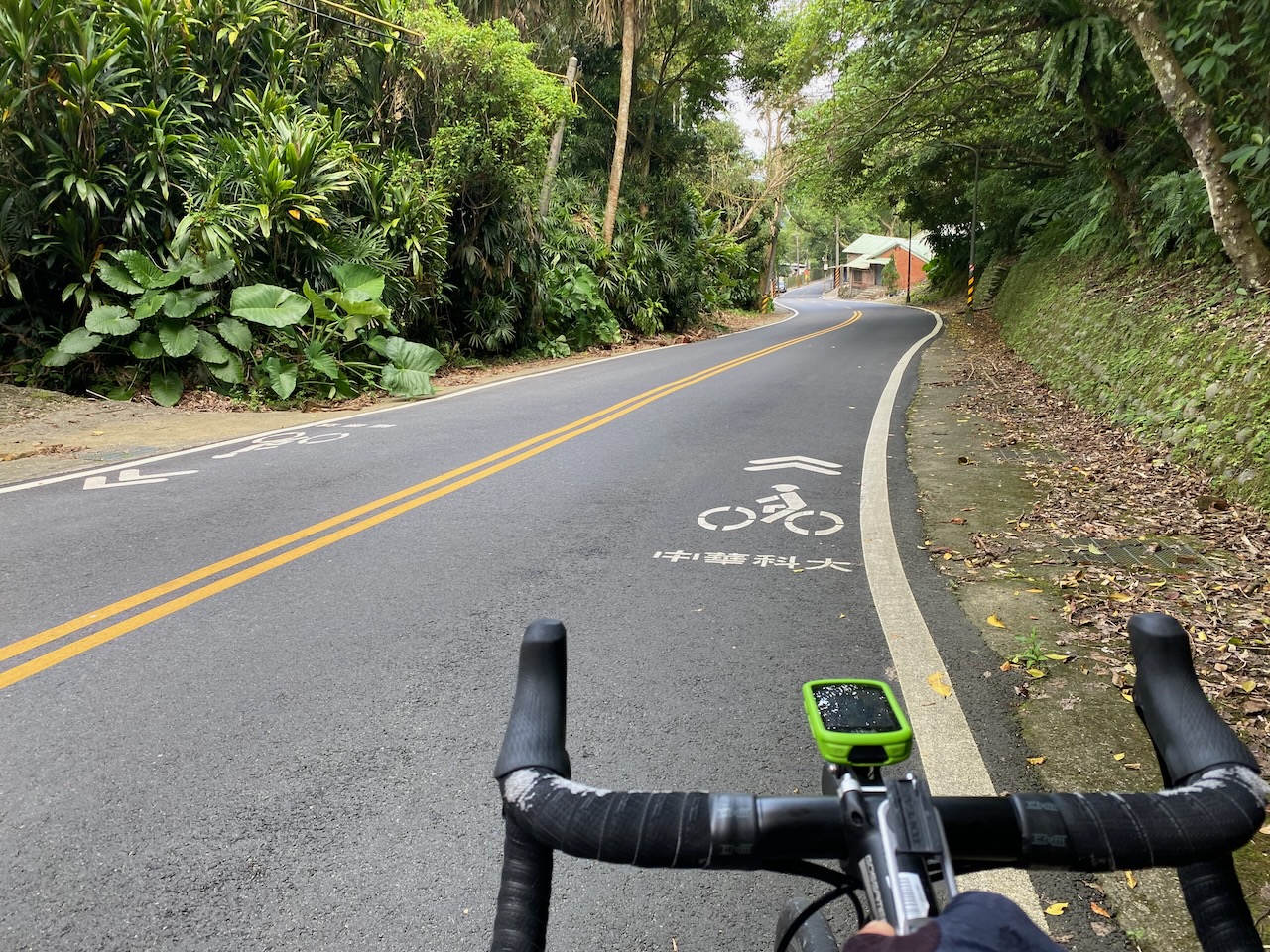
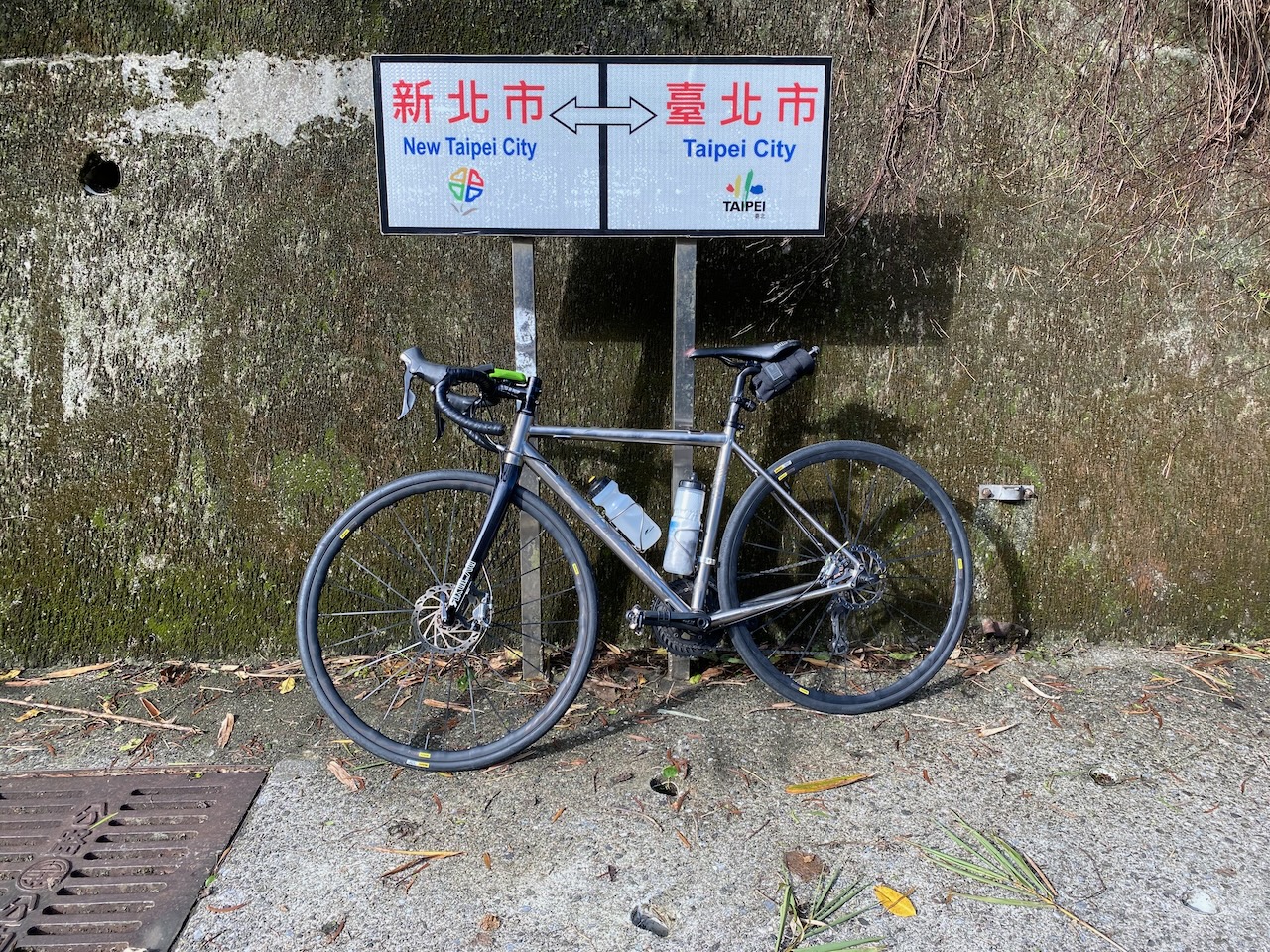
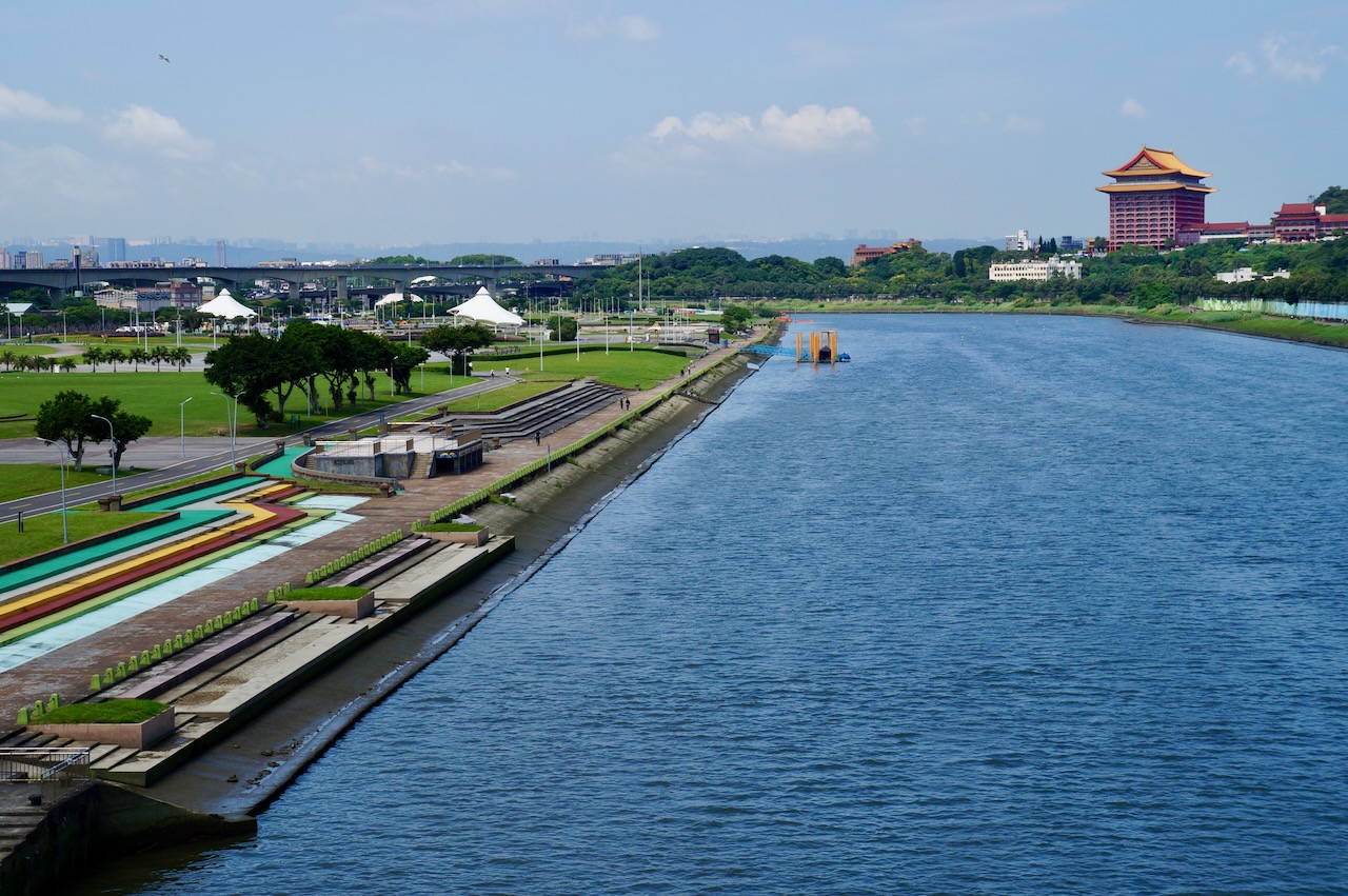
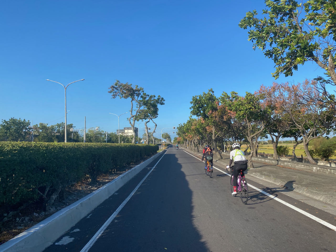
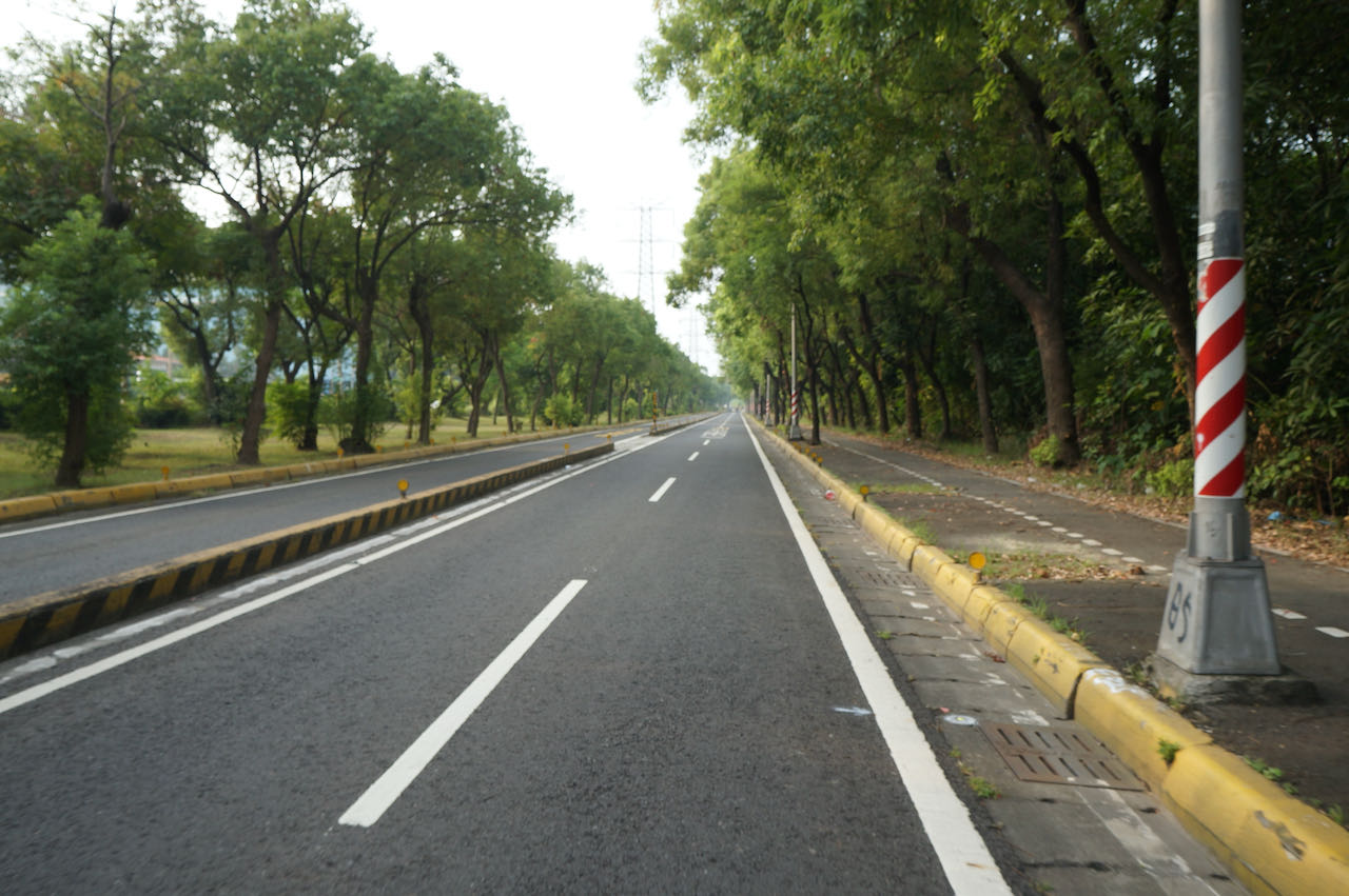
    Cycle Route No. 1 officially begins at Songshan Station. The official GPS route directs you through Nanjing EAst Road, guiding you across Taipei.From there, you’ll enter the serene Riverside Bikeway via Dadaocheng Pier Plaza, offering 20k of dedicated bike paths without traffic lights, leading you to the city’s outskirts. Once outside the city, you’ll share the road with other vehicles, which is manageable since traffic is lighter. However, the cycling experience might be hindered by occasional traffic light stops, particularly within city limits. 

    I have devised this alternative route with the goal of maximising the utilisation of the Riverside Bikeways, thereby minimising interruptions caused by traffic lights. The protected bike path on the first half of your journey offers a safer environment for you to familiarise yourself with your bike’s setup. Rather than cycling along Nanjing East Road, you will access the Riverside Bikeways via the Raohe Evacuation Gate, ensuring a smoother ride through Taipei. While the official route directs you towards Provincial Highway 3 upon reaching Sanxia, this alternative route provides an additional 20 km of cycling on dedicated bike paths until you reach Sankeng, where it merges with the official path.

    Official Route (blue):

    Alternative Route (green): 

    NOTE: To use the routes, please install the App on your smartphone. The App will launch and load the route automatically after you tap the above links on your smartphone’s browser. For Garmin Connect, you can then use the APP to send the route to your garmin device. If your Garmin device is not purchased in Taiwan, you will also need make sure you have the Taiwan map on your device. Here is our blog post on this topic.

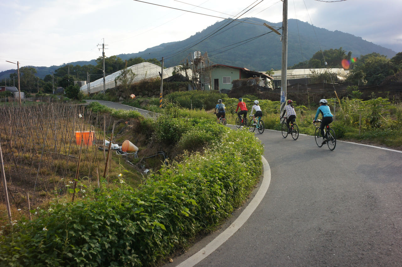
    Day 2: Hsinchu County to Changhua City

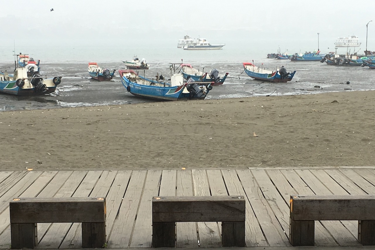
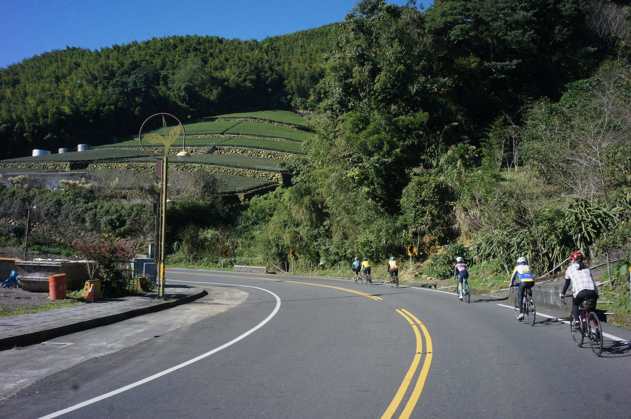
    Explore the west coast for a day and soak in the stunning sea views. Experience a long, flat stretch with minimal traffic lights, allowing for uninterrupted cycling. At the last part, from Taichung to Changhua, there will be more more towns and traffic lights as you travel inland.

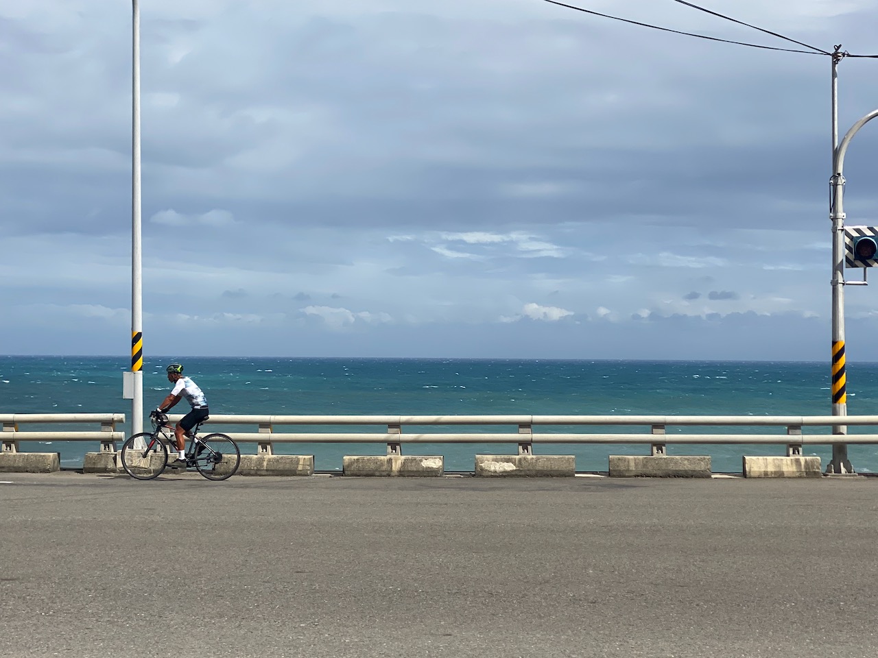
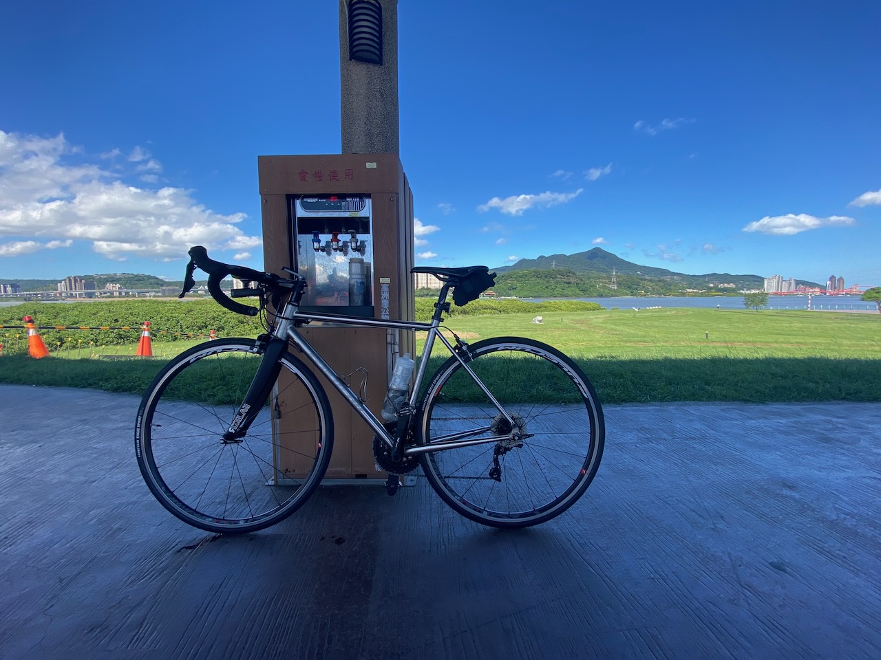
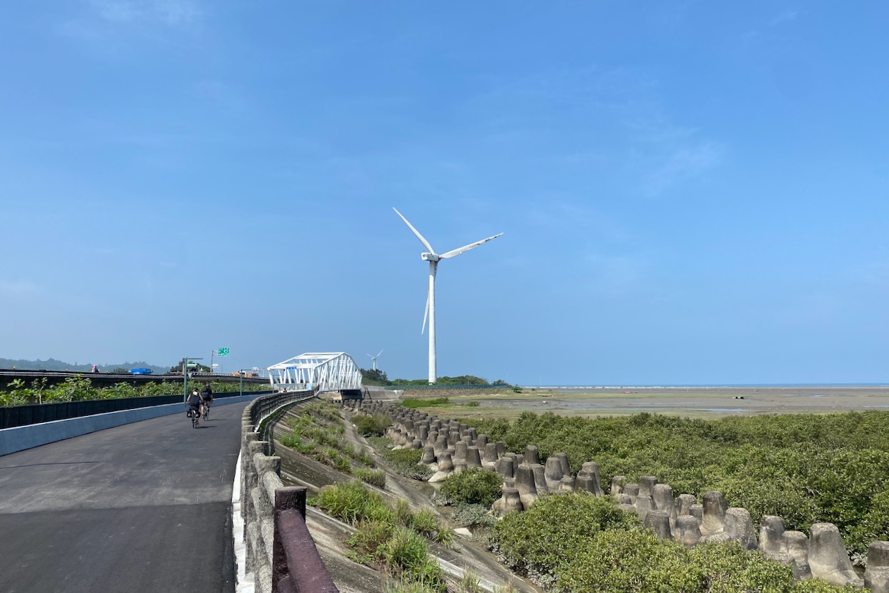
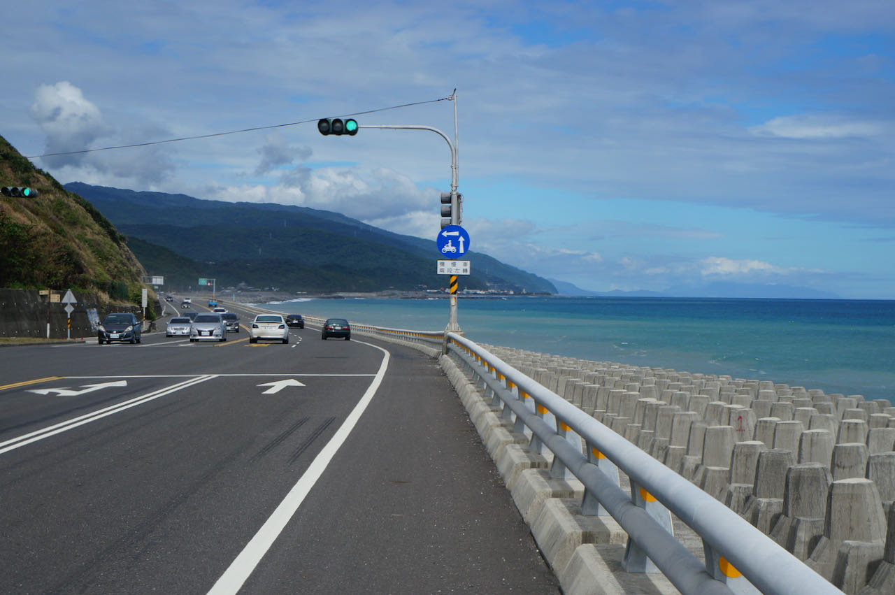
    Hsinchu is situated in the western edge of the island, where the Taiwan Strait is at its narrowest. During the period of north prevailing winds (September – February), wind speed intensifies due to the Venturi effect as winds pass through this channel. Consequently, Hsinchu is renowned, or sometimes infamous, for its robust winds. In the autumn and winter months, cyclists are aided by the wind’s push along the coast. From June to August, the wind direction changes, though it’s typically not excessively strong.

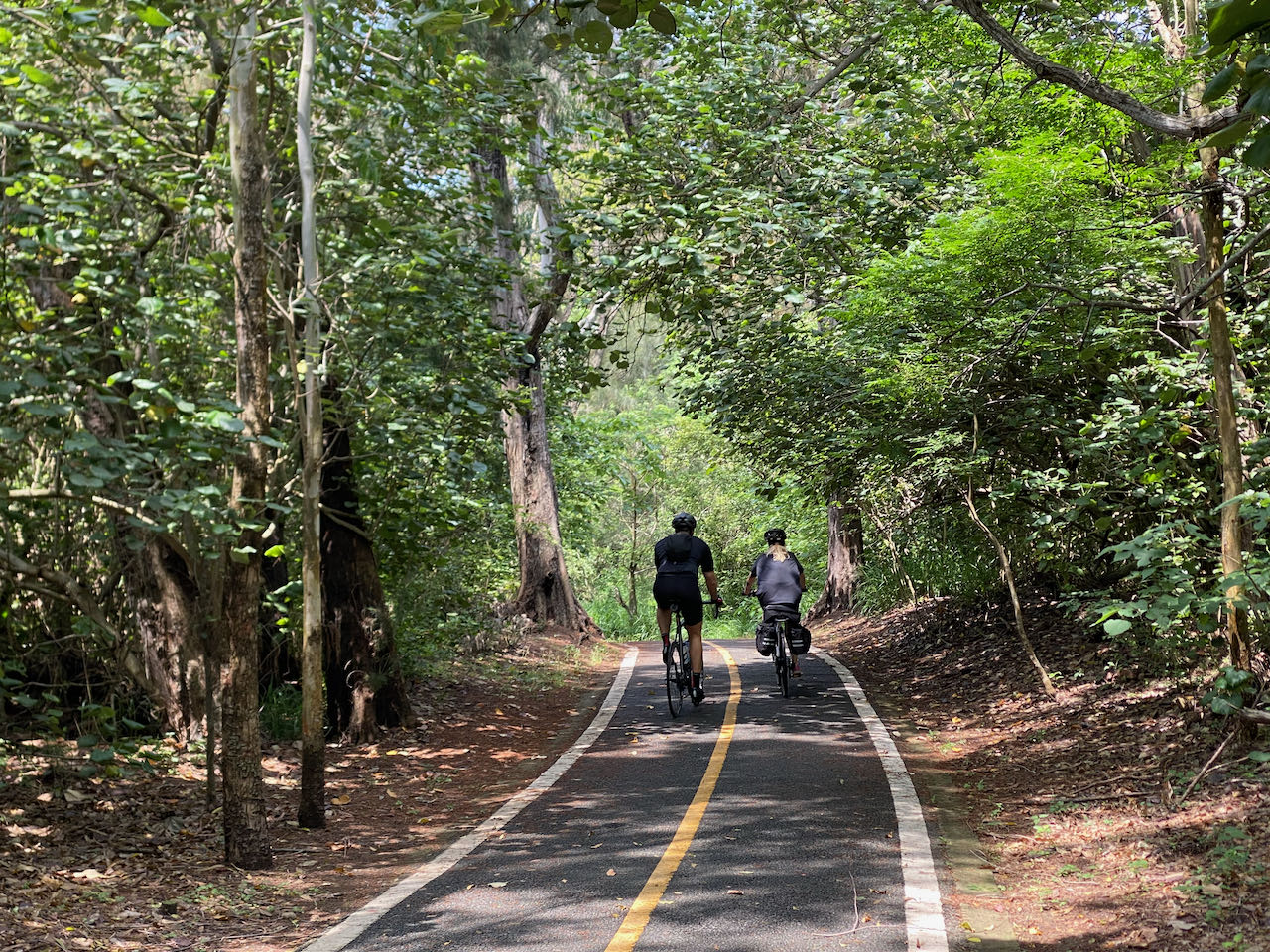
    There are numerous picturesque bike paths along this segment of the west coast. It would be a missed opportunity to solely stick to the main road. Hence, I’ve charted an alternative route that includes some detours, leading you to the coastal edge for quieter surroundings and shaded areas. Keep in mind that our pace might be somewhat slower than on the main road due to the narrower paths and interactions with other road users, especially during holidays. While these detours add 20 km to the overall distance, they decrease total ascents from 665 meters to 320 meters. In case reaching Changhua City becomes challenging, there’s a range of hotels available for an overnight stay in Wuqi District of Taichung. This would be advisable as the following day’s route is shorter, 85 km long.

    Official Route:

    Alternate Route:

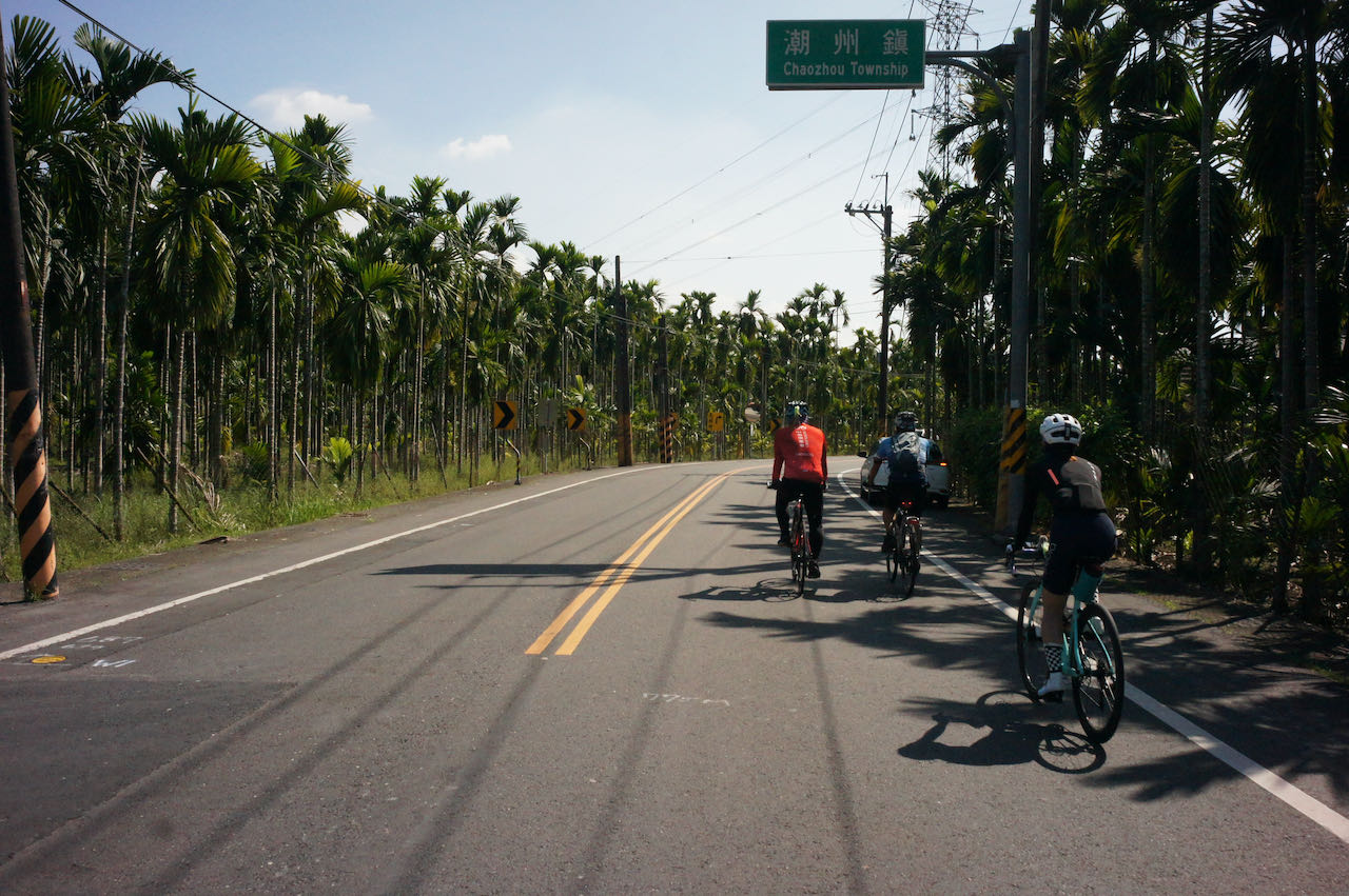
    Day 3: Changhua to Chiayi 

    An inland route offering a mix of townships in the first half and rustic countryside in the second.

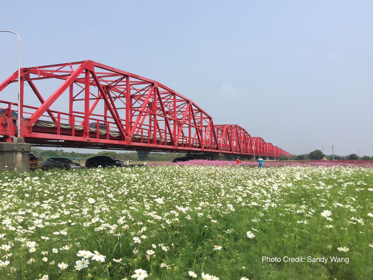
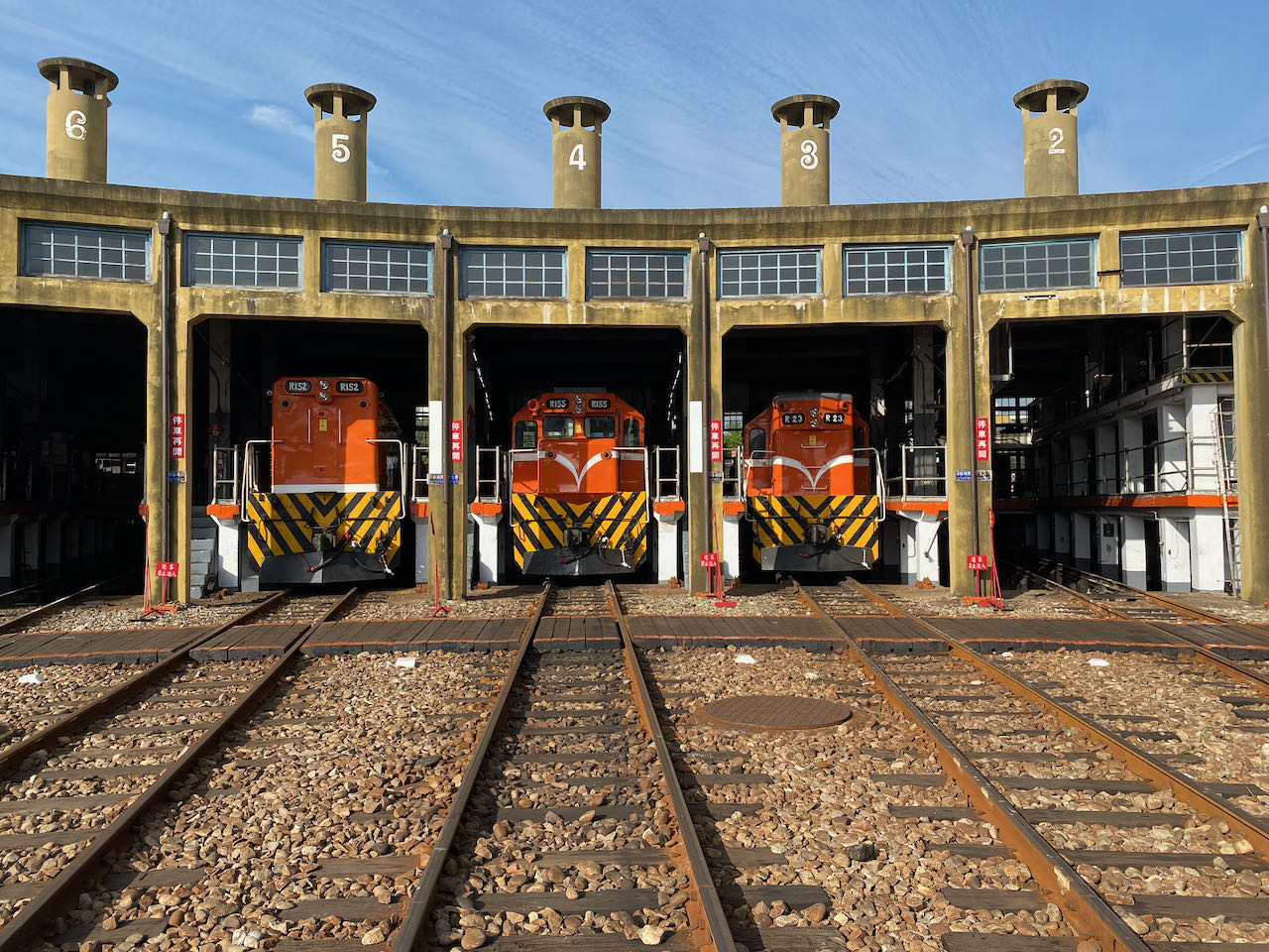
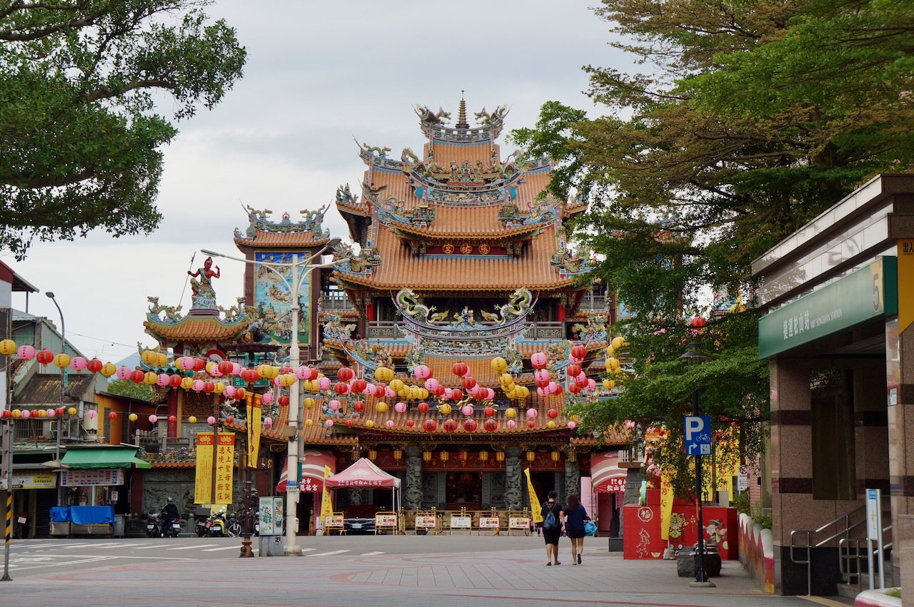
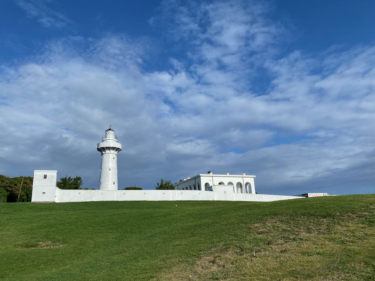
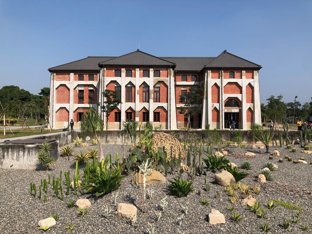
    The southern part of Taiwan’s main island boasts a larger expanse of flat land. Although we’ll be cycling closer to the hills, the total ascent is only 301 meters over 80km. The first 35 km pass through five townships: Huatan, yuanlin, Yongjing, Beidou, and Xizhou. The roads are broad with a designated slow lane for scooters and bicycles, but be prepared for more traffic lights that might disrupt your rhythm. As you approach the picturesque Xiluo Bridge, conditions will improve. This bridge then leads to Yulin County, renowned for its agricultural products. The second part of the route offers more pleasant riding, with rustic views prevailing. If you wish to bypass the townships, you can opt to take a train to Shetou. Before departing Changhua, make sure to visit the Changhua Roundhouse, a notable attraction in the area.

    Xilou Bridge is currently closed for maintenance, reportedly until the end of December 2026.

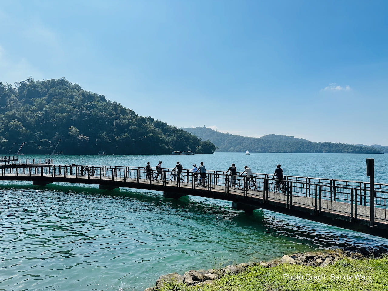
    Cycling Route No. 1 provides an option to cycle to Sun Moon Lake, but this would require an extra day to rejoin the main route.

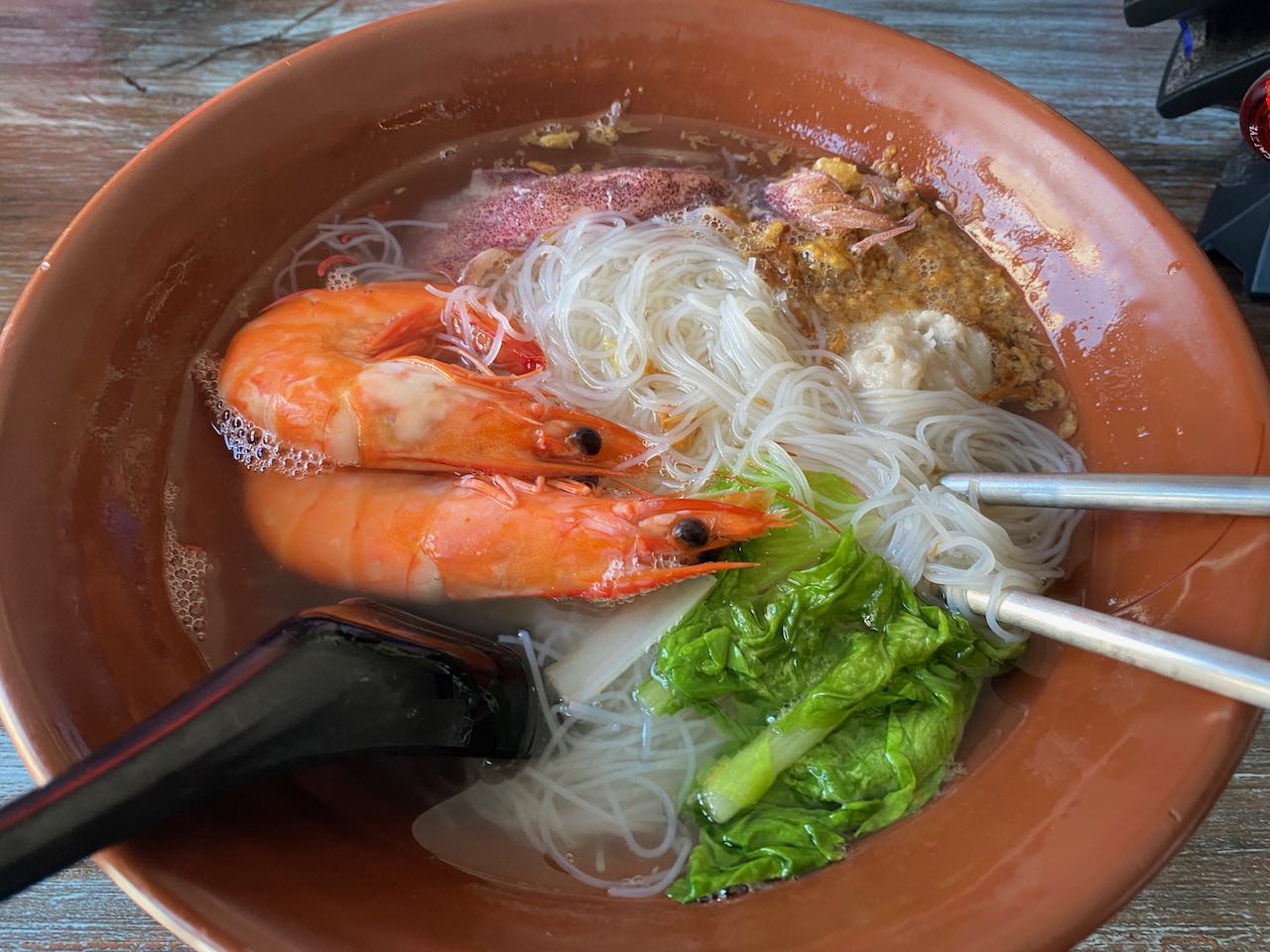
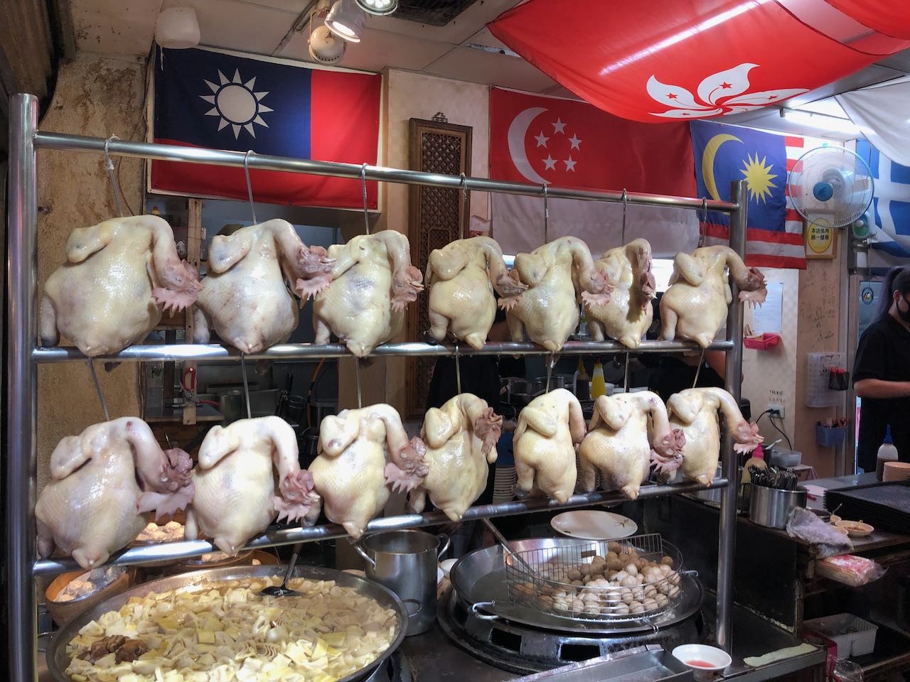
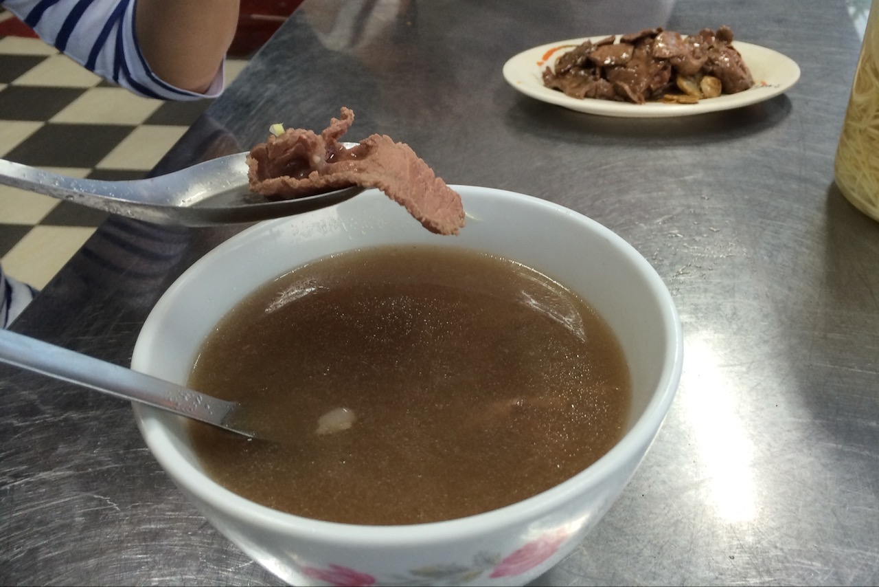
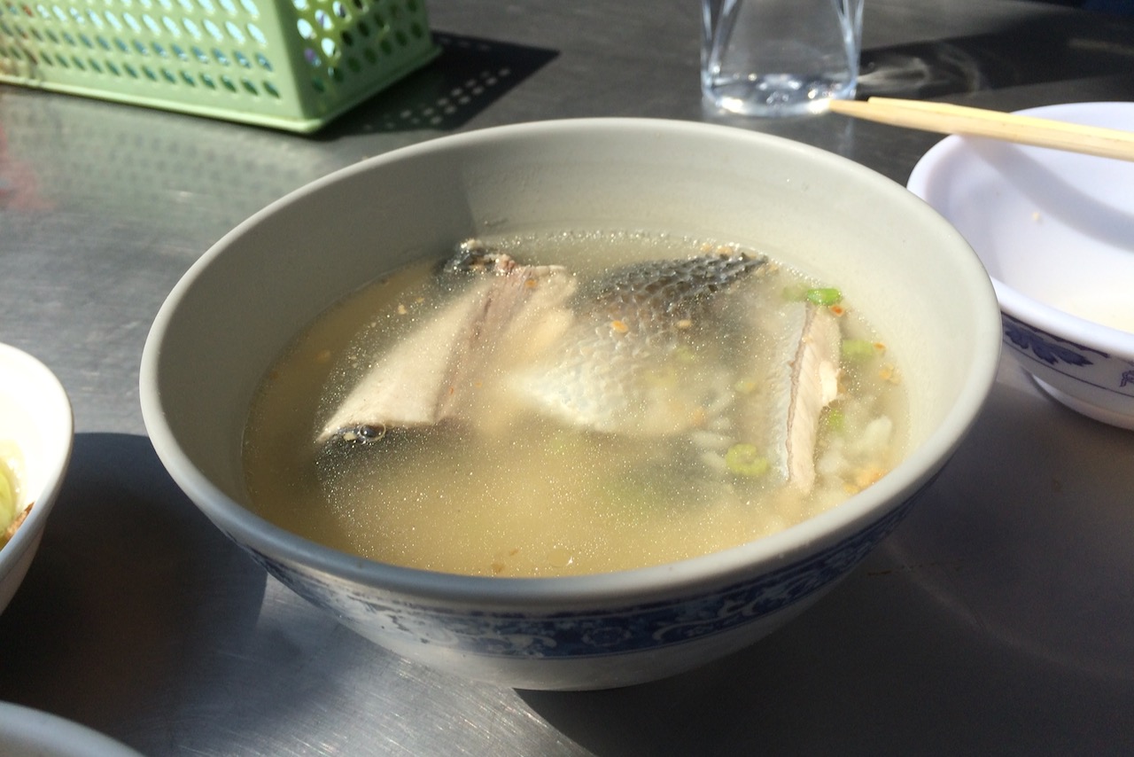
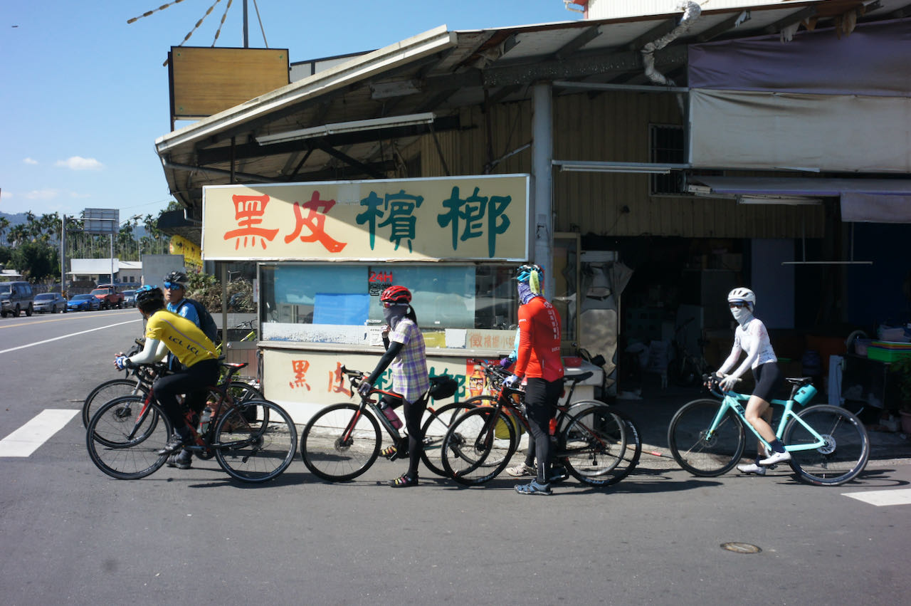
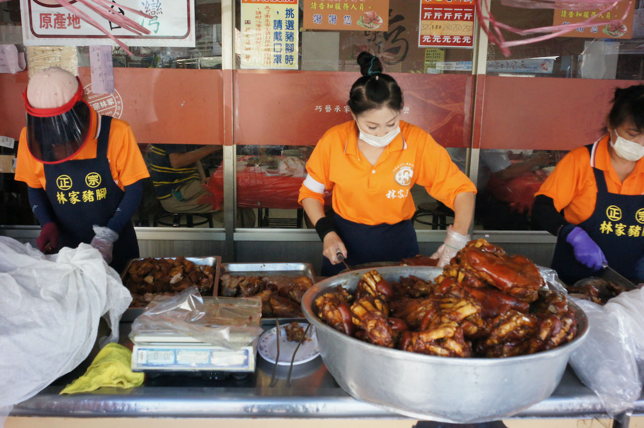
    Upon reaching Chiayi, consider visiting the restaurant known for its fish head soup, as featured in Netflix’s ‘Street Food: Asia’.

    Official Route

    Day 4: Chiayi to Kaohsiung

    Cycle through Taiwan’s vast Chiayi-Tainan Plain, also known as the Jianan Plain, on a leisurely day’s ride that concludes in Kaohsiung, the country’s third-largest city.

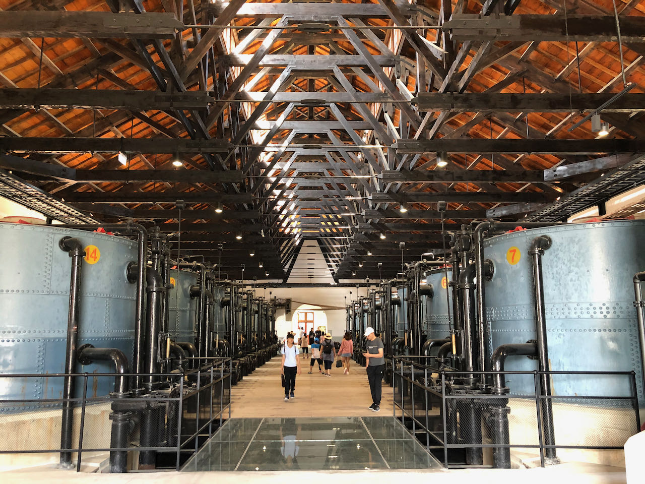
    Covering a distance of 100km, this route entails a total ascent of 725 meters. The roads are spacious, featuring an additional slow lane for added comfort. You’ll encounter fewer townships along the way, allowing for the enjoyment of scenic country views throughout the journey.  If you’re making good progress, consider a detour to the Old Waterworks Museum in Shangshang District of Tainan. This historical water process plant, constructed during the Japanese Occupation period, is worth a visit, adding only 3 kilometers to your route. Keep in mind that exploring this beautiful museum might require at least and hour of your time. 

    Continuing along the route and departing from Xin Hua Old Street, you’ll find yourself beneath the High-Speed Railway. Following the Dahu Train station, each town you traverse will progressively grow larger and busier until you arrive at Nanzi district in Kaohsiung. While the official route concludes here for the day, it’s advisable to cycle into the city center for a wider range of hotel options and to avoid morning commuting traffic the following day. More details about hsi can be found in the Day 5 itinerary.

    Official Route:

    Alternate Route:

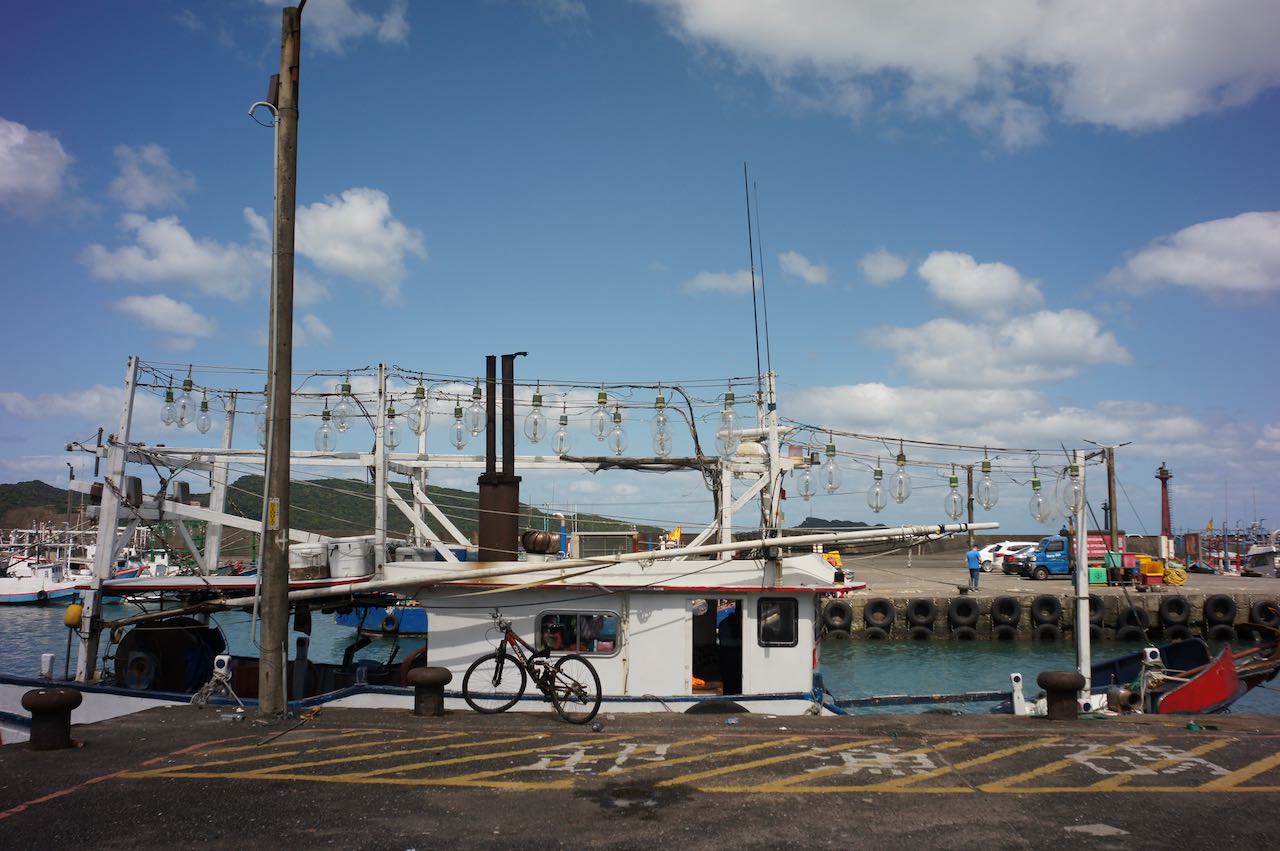
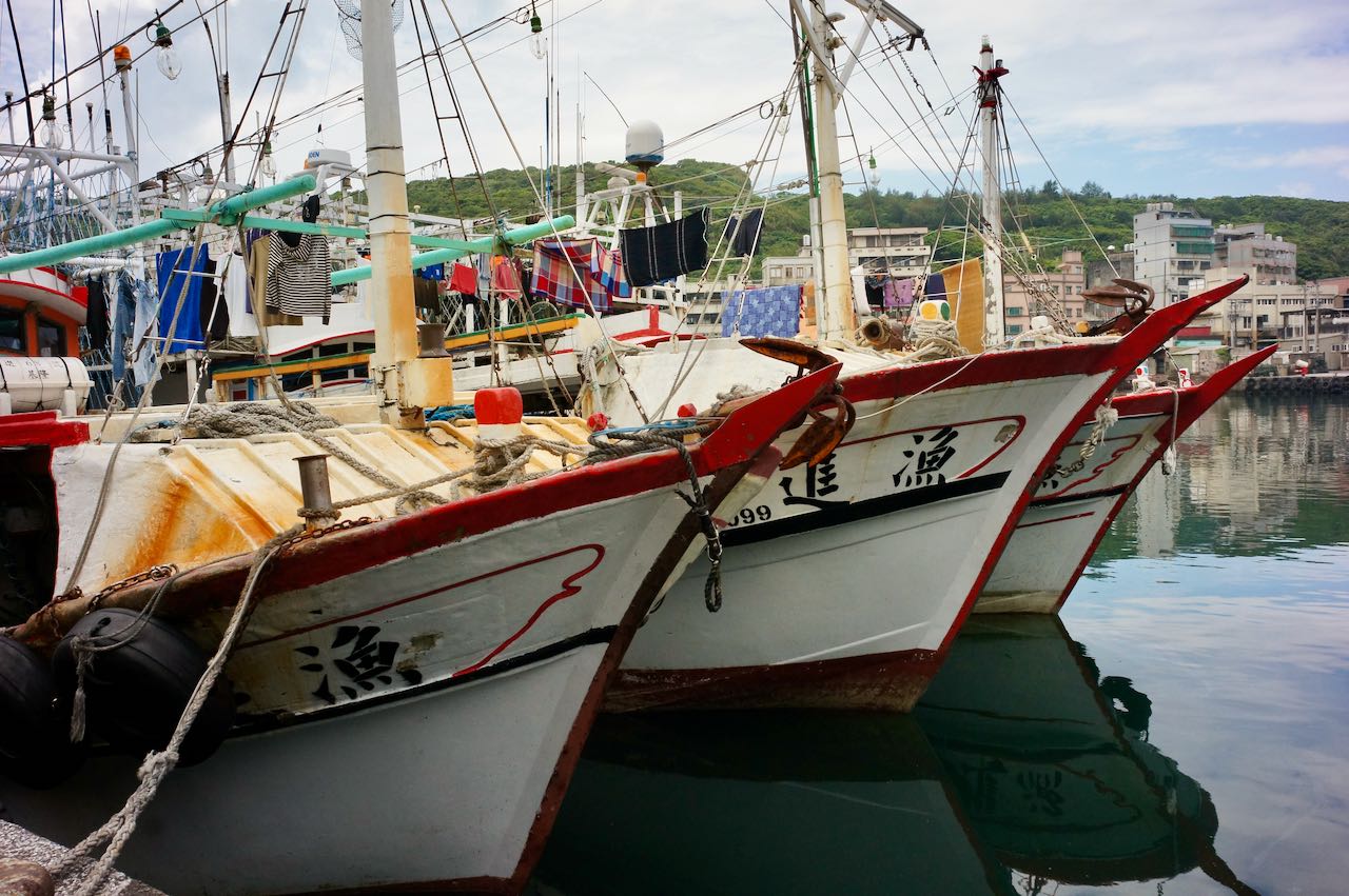
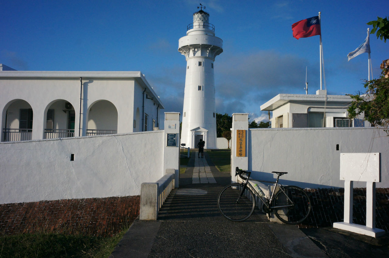
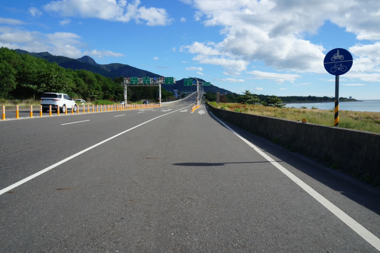
    Day 5: Kaohsiung to Checheng, Pingtung

    Embark on a day of cycling through Kaohsiung to reach Pingtung, the southernmost county of the island, marking the conclusion of the west coast leg.

    Kaohsiung stands among Taiwan’s major cities, and I’ve sought advice from fellow cyclists on navigating it seamlessly. For those lodging in  Nanzi District, Kaohsiung resident Vivian Wong suggests using the MRT to Xiaogang Station, effectively bypassing the city’s traffic. Bicycles are permitted on the MRT throughout its operating hours, at a fare of NTD 60. If cycling is preferred, Vivian proposes taking County Highway 186 eastward, then transitioning to Provincial Highway 29 to head south. This route enables escape from traffic after Renwu District, with fewer traffic lights. Alternatively, for those open to some climbing, County Highway 186A (186甲) offers an even better options. The suggested route (Alternate Route) is available at the end of this section.

    Eddie Chen, a renowned cycling writer and Vlogger, recommends accommodations near Kaohsiung Train Station, central to the city. As the locals predominantly commute towards the city center for work, cyclists heading in the opposite direction in the morning experience less crowding. Eddie also suggests a detour to Qijin District by ferry from Gushan Ferry Pier. This allows cycling along the picturesque bike paths tracing the elongated island’s southern tip. Upon taking the ferry from Zhong Zhou Ferry Pier to Qianzhen District, the city outskirts come into view. Note that bikes are prohibited in the tunnel at the island’s southern tip.

    Here are the time schedules for Gushan Ferry Pier and Zhong Zhou Ferry Station, respectively.

    Post departure from Fangshan Township, two routes beckon: Provincial Highway 9 and County Highway 199. These routes lead you over the hill and onto the east coast. Provincial Highway 9 comes first. Should this be your preference, consider staying over in Fenggang. Personally, I recommend continuing further south to Checheng, offering more hostel and restaurant options. County Highway 199 also provides ideal for cycling due to lighter traffic, particularly on weekends.

    Most readily available official GPX routes guide you onto Provincial Highway 9. Here the official route is modified slightly to lead you to Checheng.

    Official Route

    Alternate Route

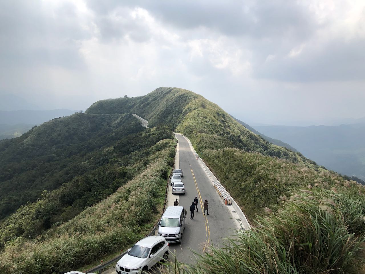
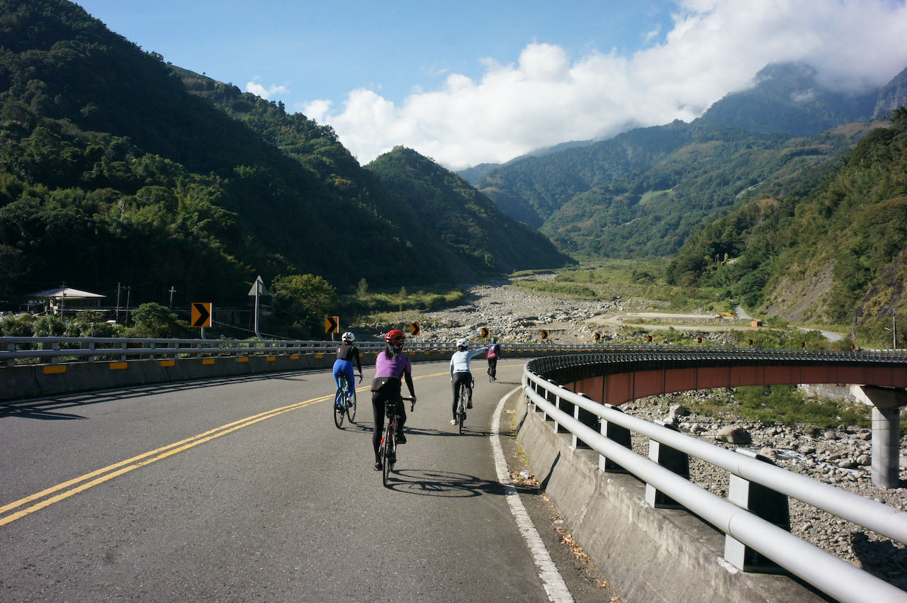
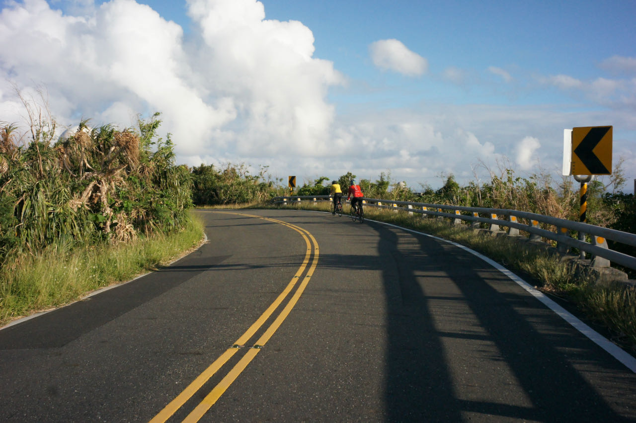
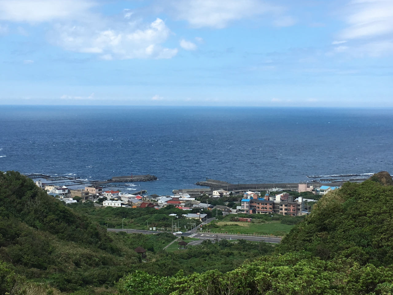
    D6: Pingtung County to Taitung County

    Climbing over to Shoukatiemayi Station and descending to the beautiful east coast

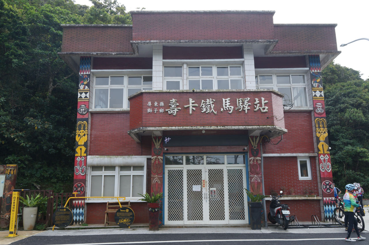
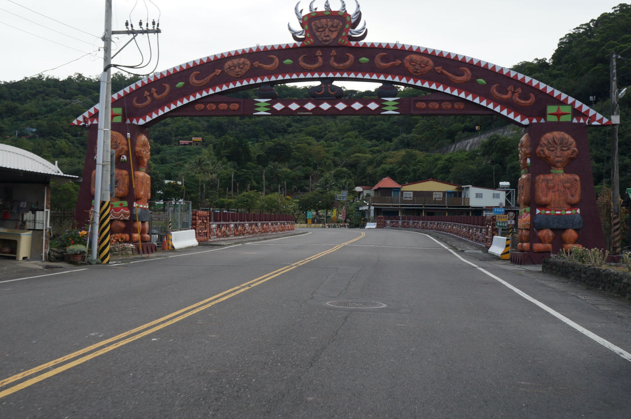
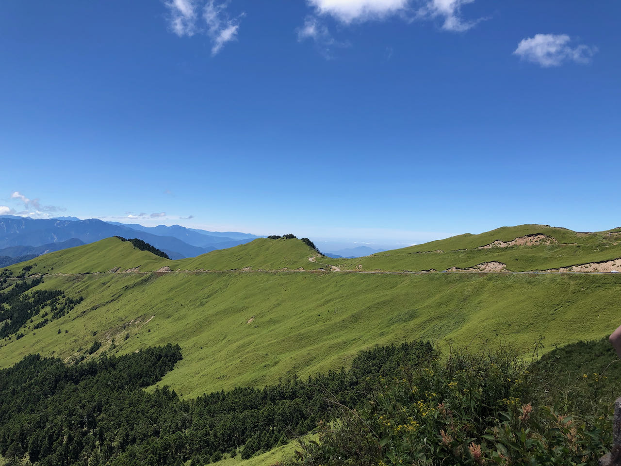
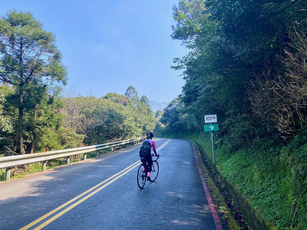
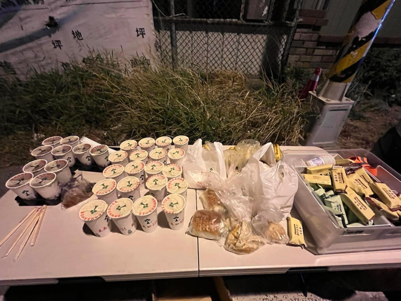
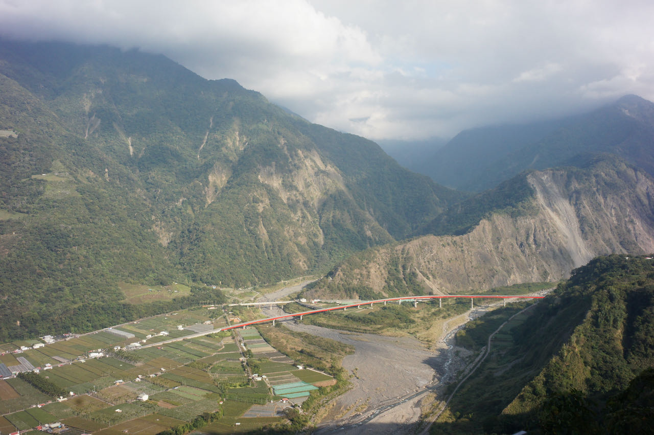
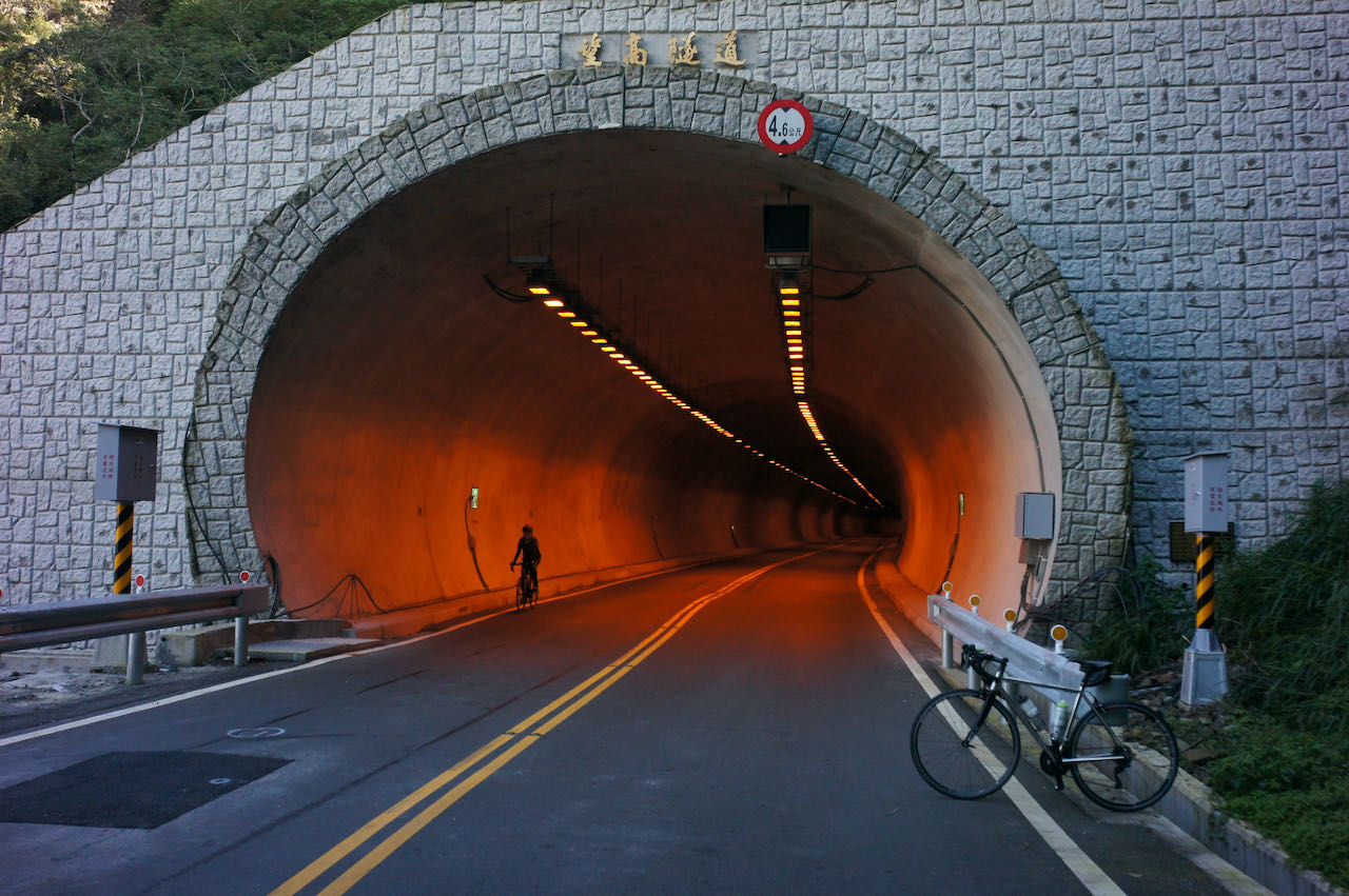
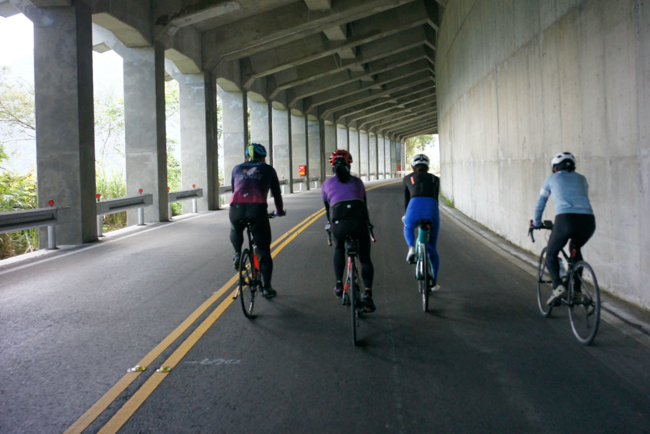
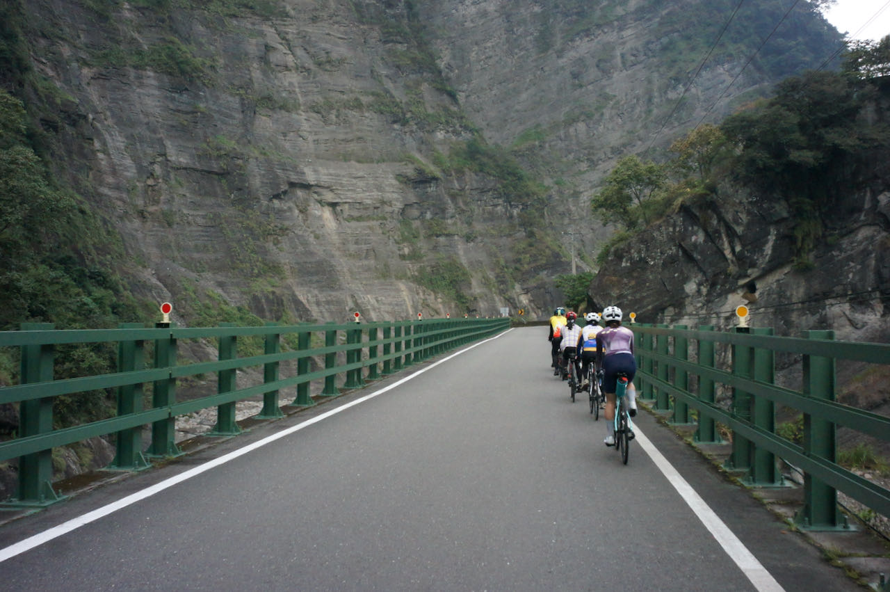
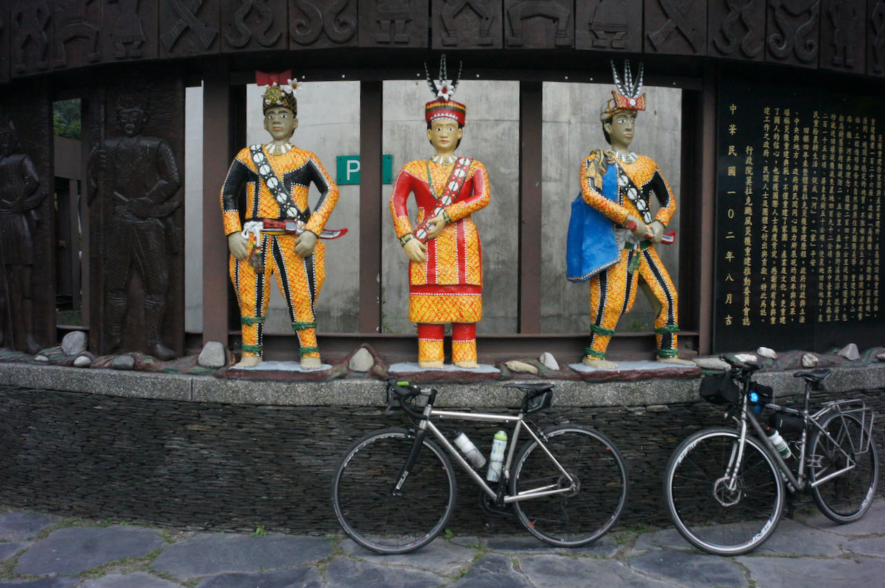
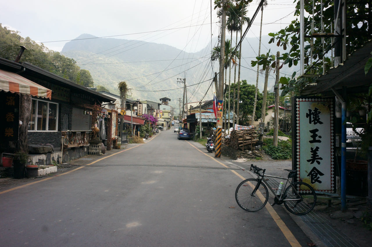
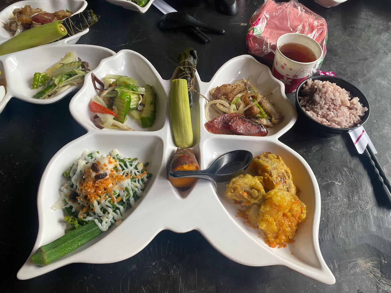
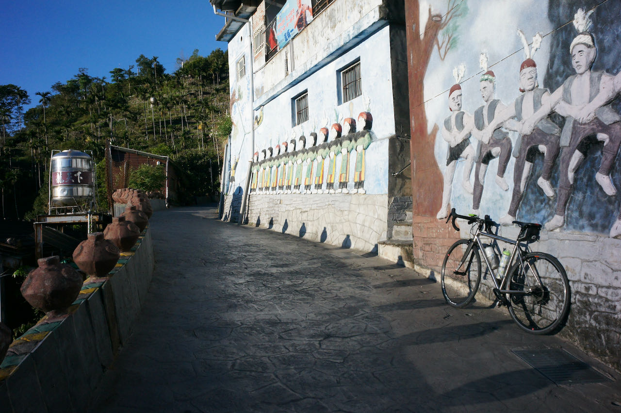
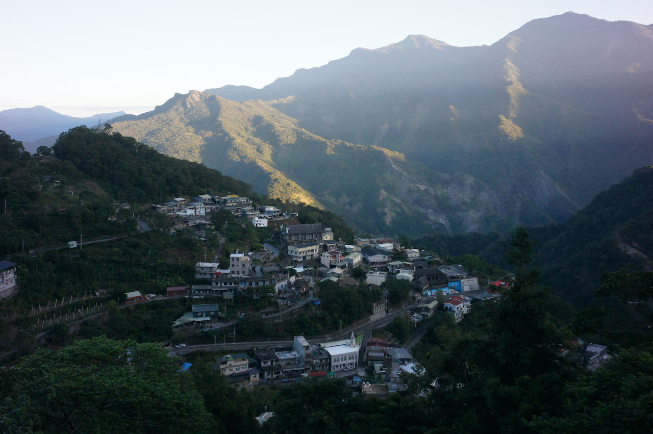
    Today, we take on the challenge of climbing County Highway 199 to Shouka, reaching an altitude of 450 meters to transition from the west coast to the east coast. Due to some ups and downs upon reaching the peak, the total accumulated ascent will be 1300 meters. County Highway 199 is a tranquil road with a moderate gradient. Along the route, you’ll encounter settlements of the Paiwan people, one of the 16 indigenous tribes of Taiwan. Restaurants and stores are still accessible along the route. In case they’re closed as you pass, make sure to stock up on supplies and water at the convenience stores like 7-Eleven and Hi-Life in Mudan.

    Upon completing the climb, you’ll be rewarded with an exhilarating descent and captivating panoramic views of the azure Pacific Ocean along the route from Daren to Taitung. A few more 100-meter climbs are in store. Take breaks and replenish supplies when you reach small towns. If you encounter strong headwinds, it is a good idea to stay in one of the towns like Jinlun or Taimali.

    Following this classic 9-day itinerary, you’ll move on to Provincial Highway 9 for further progress into the Huadong Rift Valley. For more lodging options, consider staying in hot spring hotels in Zhiben or Beinan. If Taitung City is your choice, switch to Provincial Highway 11 for a more direct route. 

    A heads-up

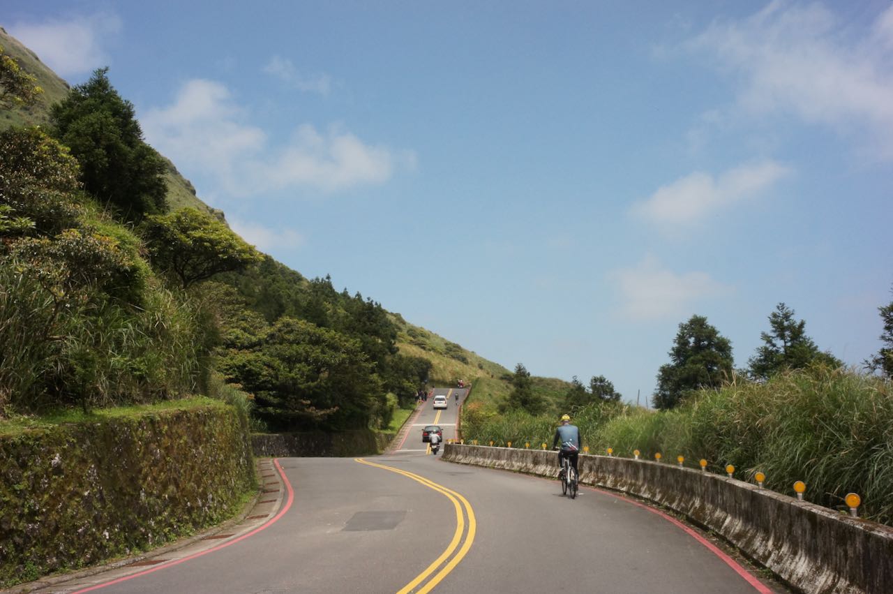
    Day 6 is considered one of the more challenging days. The climb to Shouka is just an appetizer. The South Bound Highway, while stunningly beautiful, is fully exposed to the prevailing northeast wind and features several hilly climbs. Riding against the wind during this season can be exhausting. 

    If you have extra time, it’s a good idea to plan an additional night in one of the small villages along the route, such as Jinlun.
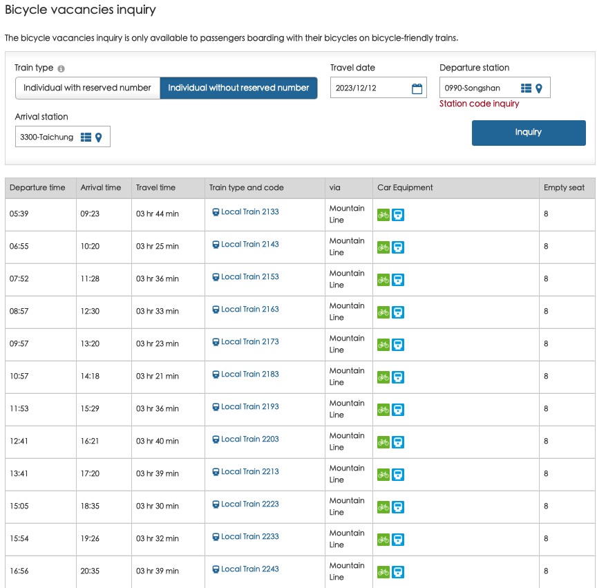
    Train Services:

    • Only four trains from Dawu Station to Taitung Station allow unbagged bikes onboard
    • Departure times from Dawu Station are 07:25, 08:48, 10:50, and 19:23
    • These trains also stop at Longxi, Jinlun, Taimali, Zhiben, and Kangle stations, where cyclists can board with their unbagged bikes.

    Official Route

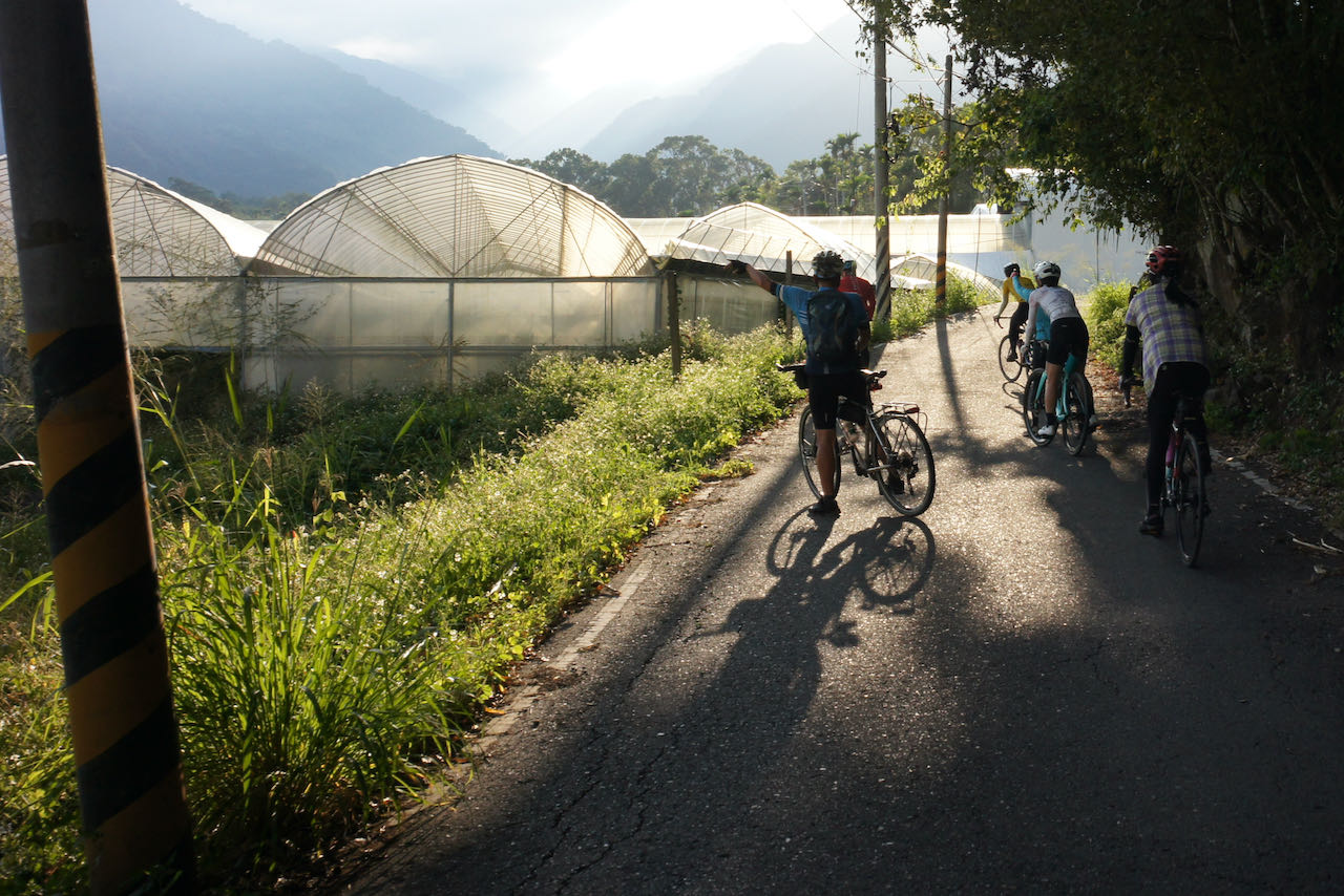
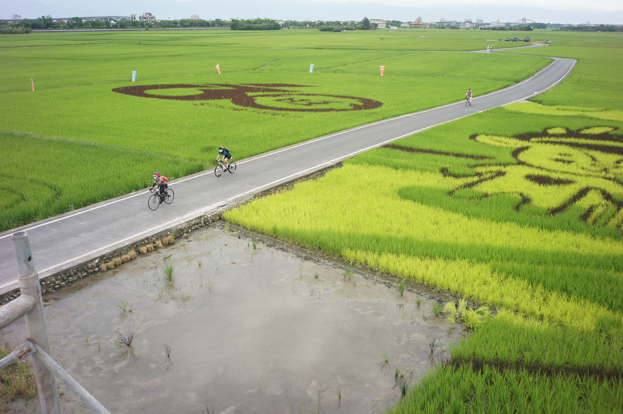
    D7: Taitung to Hualien County (Ruisui Township)

    Embark on a leisurely cycling journey through Taiwan’s scenic beauty in the Huadong Rift Valley. 

    There are two cycling routes from Taitung to Hualien City: the rift valley route (Provincial Highway 9) and the coastal route (Provincial Highway 11). This classic itinerary suggests taking the rift valley route due to more supply stops and towns for overnight stays. Additionally, the rift valley provides some shielding from the north east prevailing winter winds, making northward cycling easier. 

    Navigation on this route is straightforward. Follow the Provincial Highways northward. Two attractions worth visiting are the Brown Boulevard in Chishang and the Old Dongli Train Station, which serves as the starting point of the Yuli-Fuli Bike Path, exclusively for bikes and running parallel to Provincial Highway 9. Along this bike path, you’ll be led to the Junction of the Eurasian Plate and the Philippine Sea Plate (temporarily closed due to the earthquake on September 18, 2023, expected to reopen by June 6, 2024). Detours to these attractions and the bike path are included in the Alternate Route 1 in this section. 

    However, we still need to cycle on the highways sharing the road with the motorised traffic when there are no bike paths. If you prefer a route with less traffic, Eddie Chen recommends heading west after visiting Brown Boulevard in Chishang, using the Zhuofu Industrial Road (花75) to Yuli. This road offers a close view of the paddy fields with minimal traffic. From Yuli, you can follow County Highway 193 to Ruisui, as suggested in the following route:

    Official Route

    Alternate Route 1 Yuli-Fuli Bike Path

    Yuli-Fuli Bike Path is closed for maintenance after the earthquake on 2022. Expected to open in 2024 Summar

    Alternate Route 2 花75 193

    Andrew, one of the user of Alternate Route 2 in March 2024, reported that the Yuzhang Bridge connecting 花75 to Yuli is blocked. There is another bridge, Zhoufu Industry Road, on the west side for us to cross the river

    D8: Ruisui Township, Hualien to Yilan

    We will continue our scenic journey along the rift valley, from Ruisui to Xincheng, and then opt to take a train to Suaoxin Station (not Suao Station) or (further north stations in Yilan) to bypass the challenging Suhua Highway. 

    Below are the daily train options, allowing you to bring your bikes on board by purchasing a bike ticket which costs half the adult fare at any station with ticketing staff available. Here is more information regarding taking a bike onto a train.

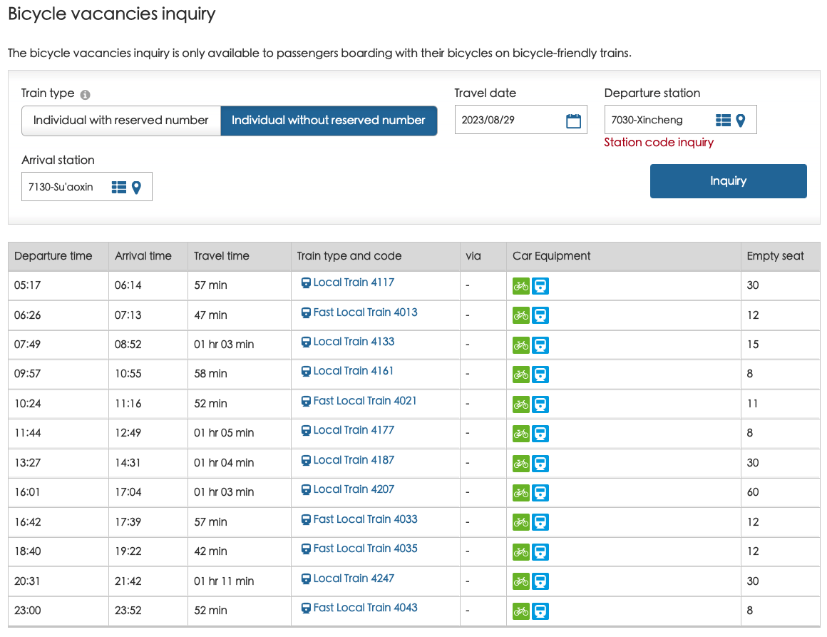
    When heading north from Ruisui, the most straightforward route is via Provincial HIghway 9. While County Highway 193 remains a good choice, it becomes hillier beyond Ruisui. Covering a distance of 63 km, the total ascent reaches 700 meters on County Highway 193, whereas on Provincial Highway 9, covering 65 km, the total ascent is a more manageable 314 meters. Upon arriving at Hualien Station, you won’t need to cycle to Xincheng Station to catch the train, as there are direct trains to various stations in Yilan.
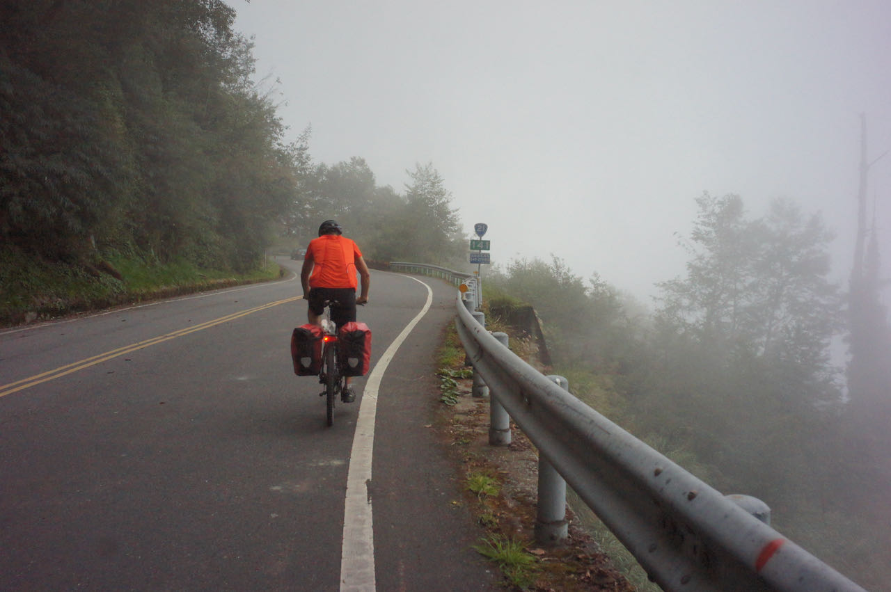
    If you prefer not to take the train, you’ll face the challenging Suhua Highway, for which I’ve written a post about it to assist you in deciding whether to take on this formidable route. In the case of cycling on Suhua Highway, you may need to cover more distance the preceding days and commence your ride from Hualien City or further north.

    Official Route

    Part 1: Total distance 96.77 km | Total ascent 348 m | Total descent 455 m

    Part 2: Total distance 14.29 km | Total accent: 19 m | Total descent 41 m

    D9: Yilan to Taipei

    This is the last day of the Classic 9 day around the Island. We would cycle through Yilan and get back to Taipei.

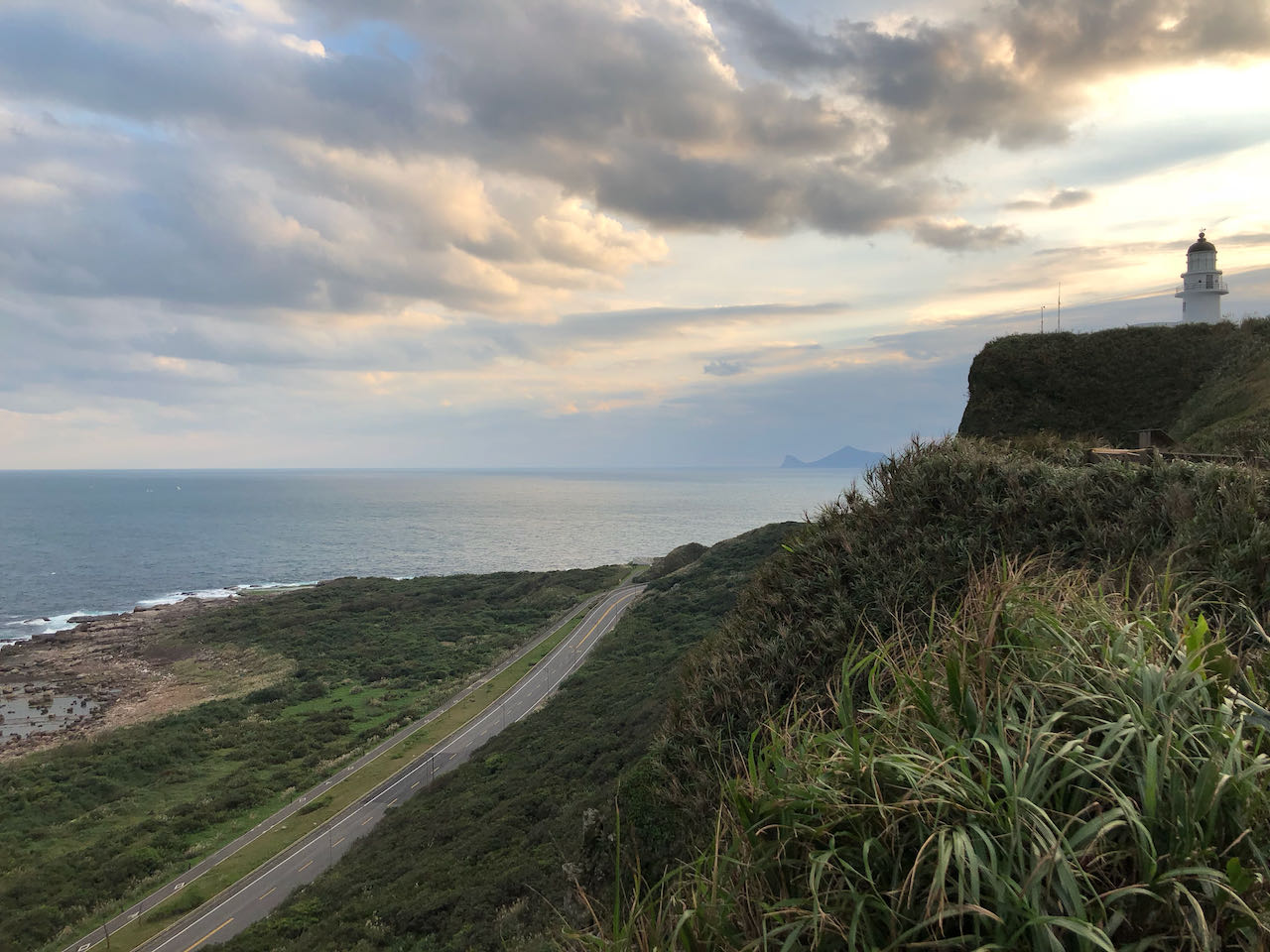
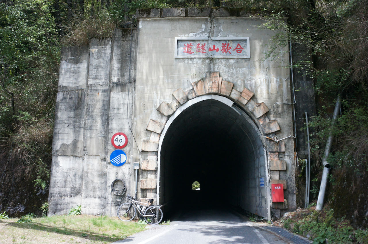
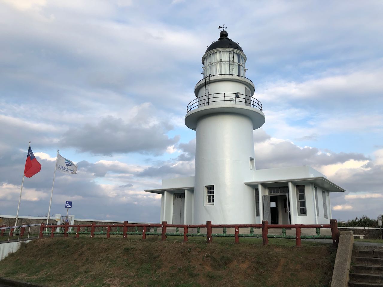
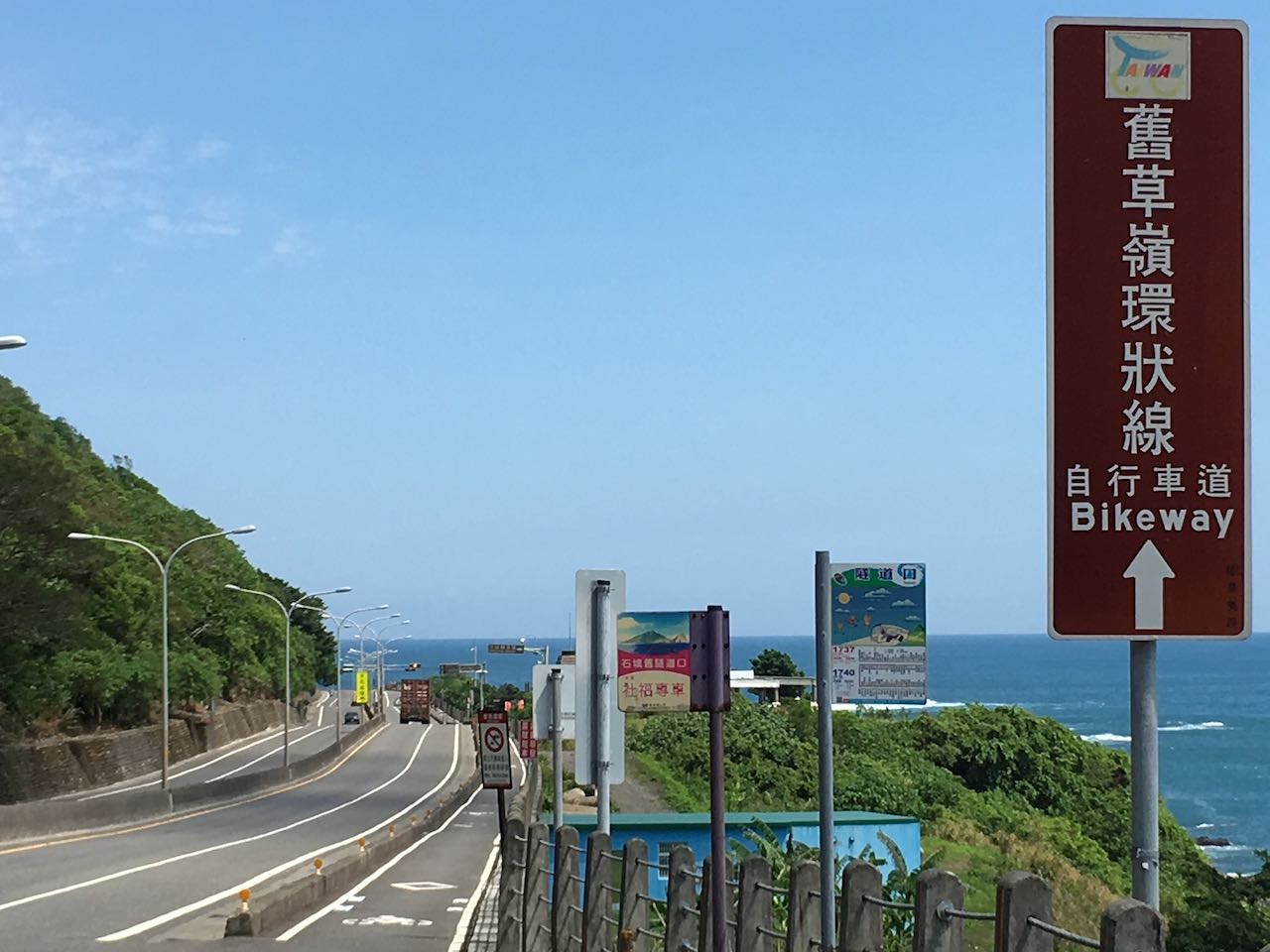
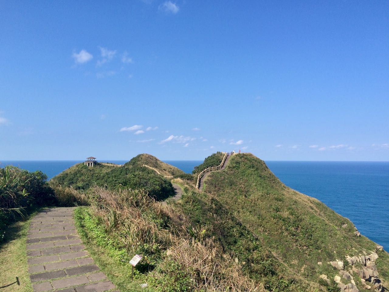
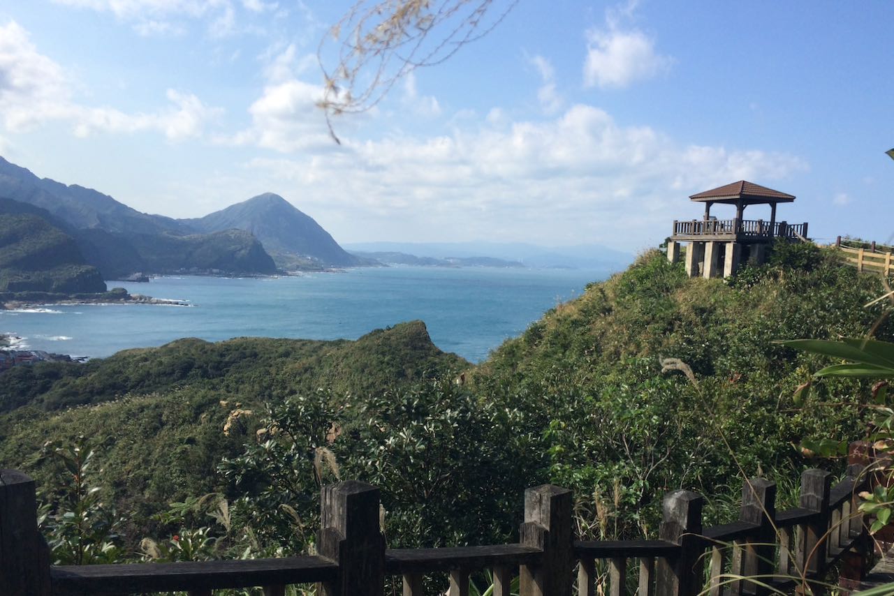
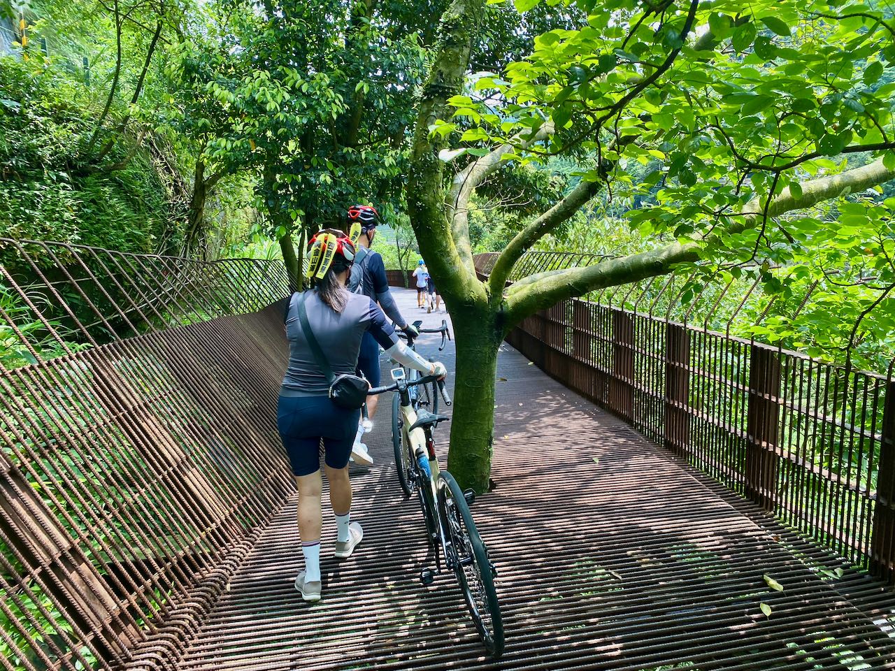
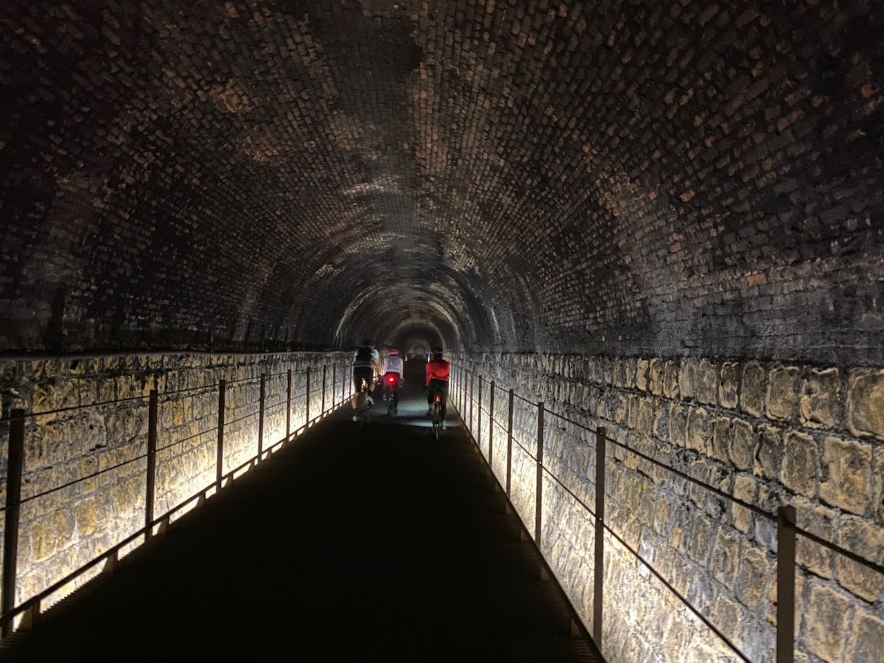
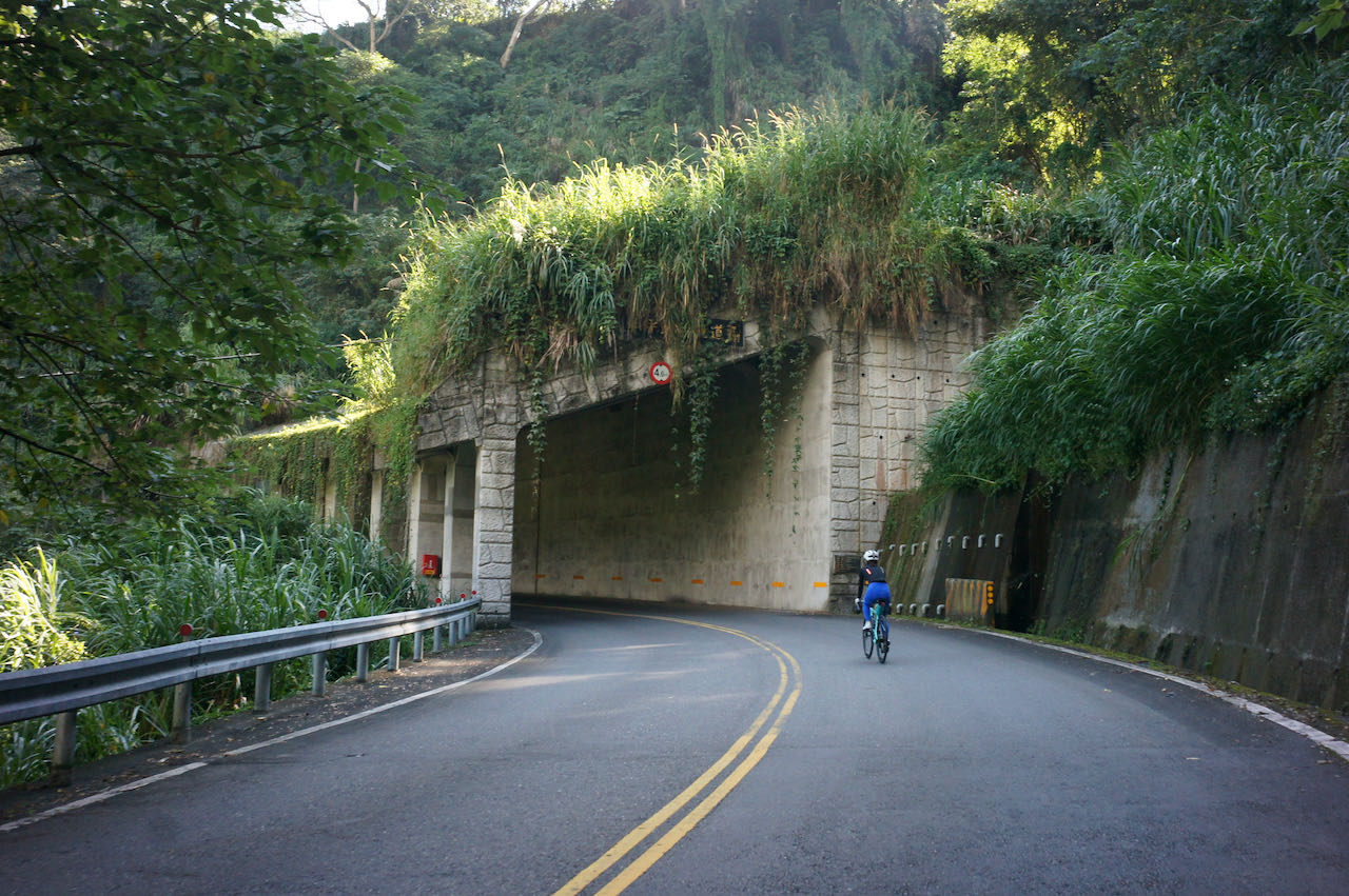
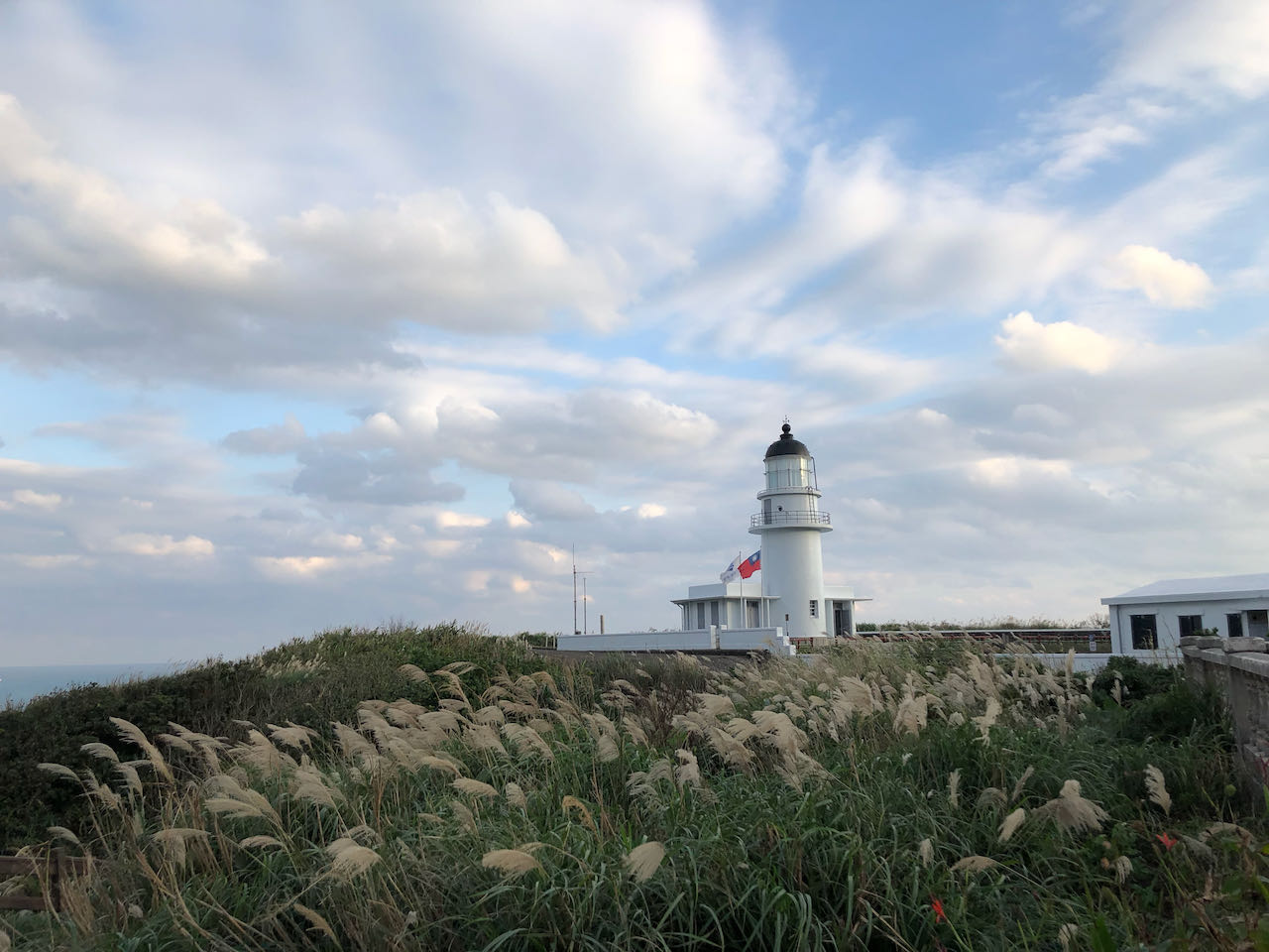
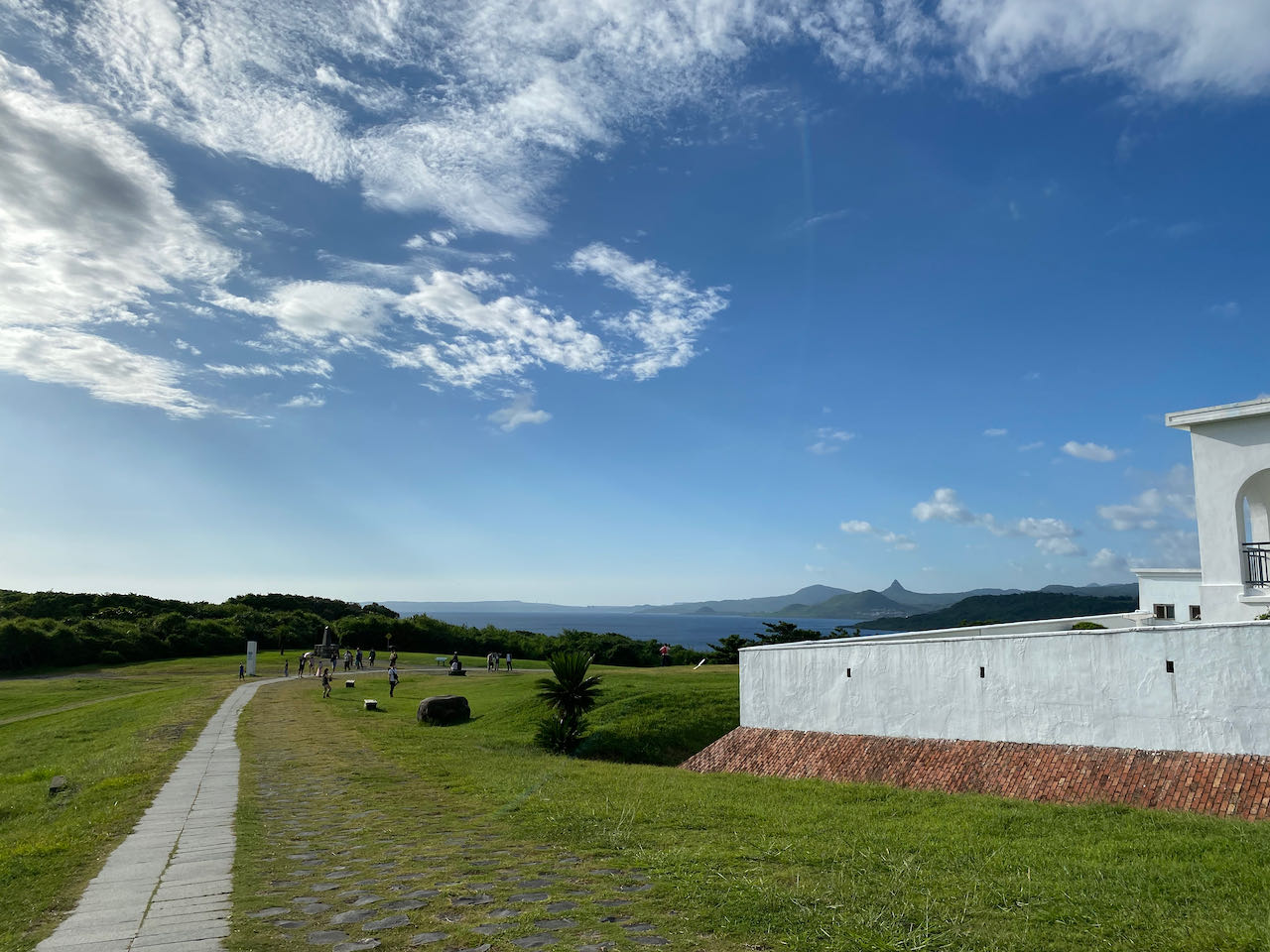
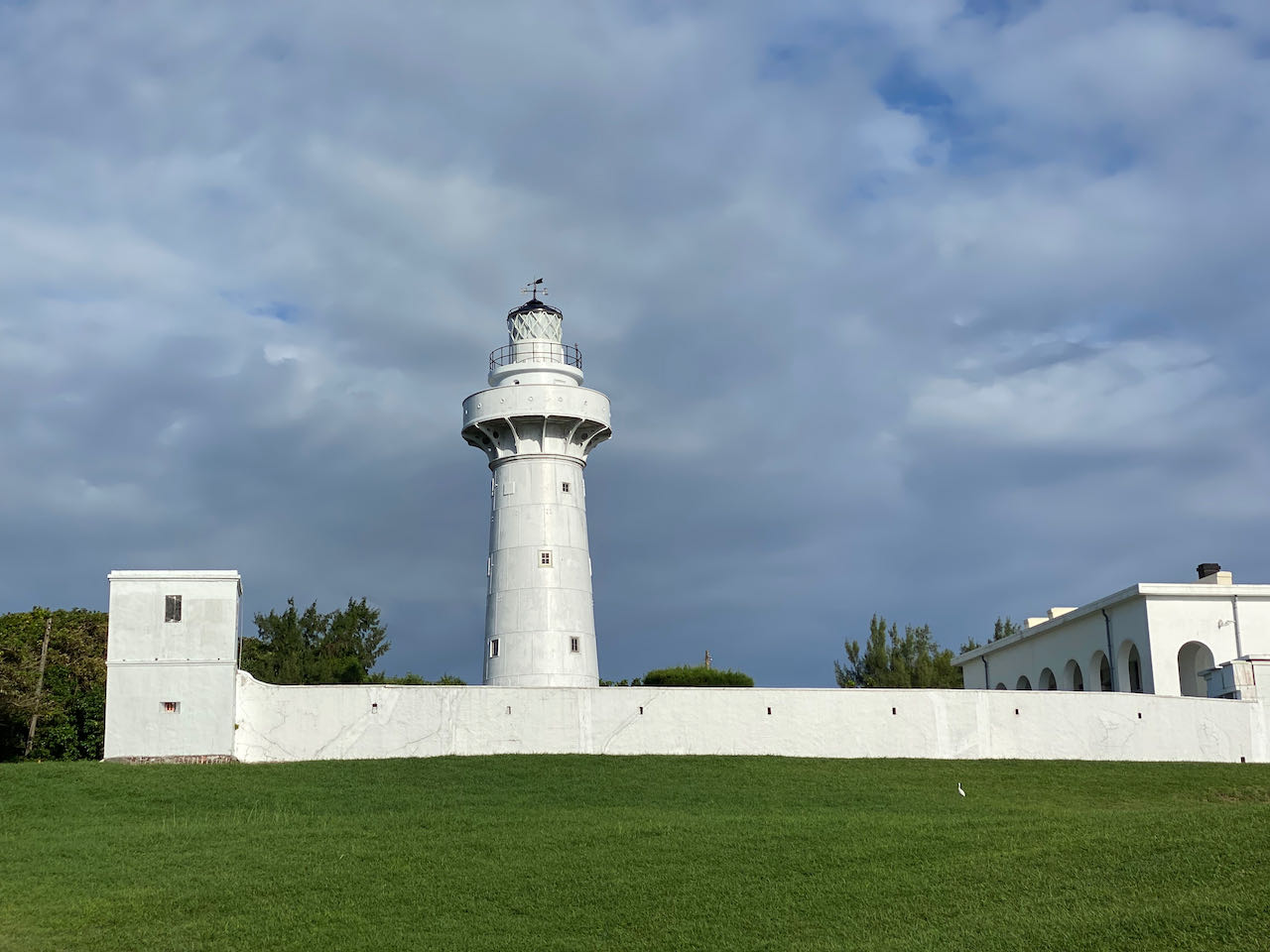
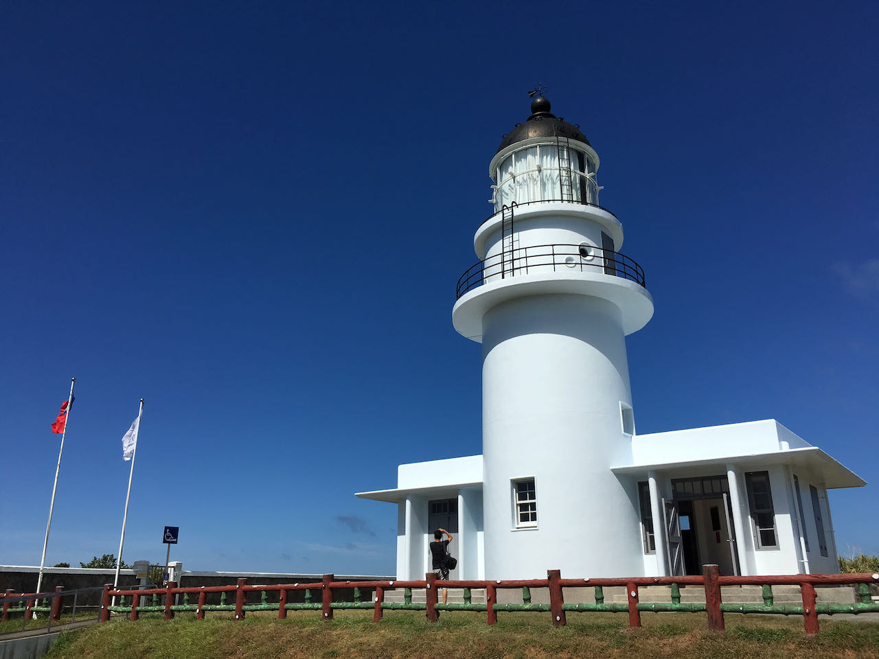
    The official route suggests you head northwards on Provincial Highway 2 to the north east point of Sandiaojiao where you would find lots of beautiful attractions like Sandiaojio Lighthouse, Maoao Fishing Harbour connected by a bikeway loop separated from the main road. One of the highlights is the  2-kilometre Old Caoling Tunnel converted from an old train tunnel. 

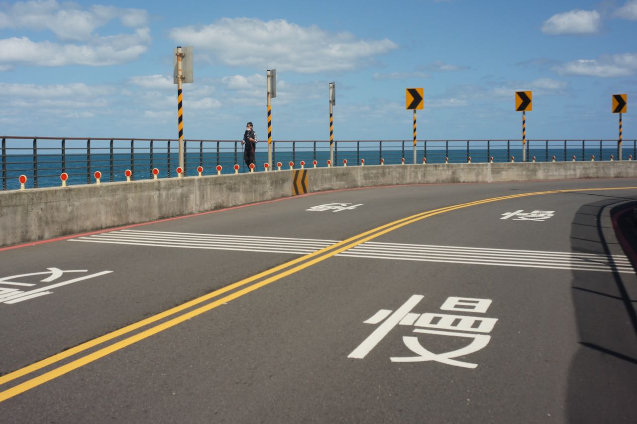
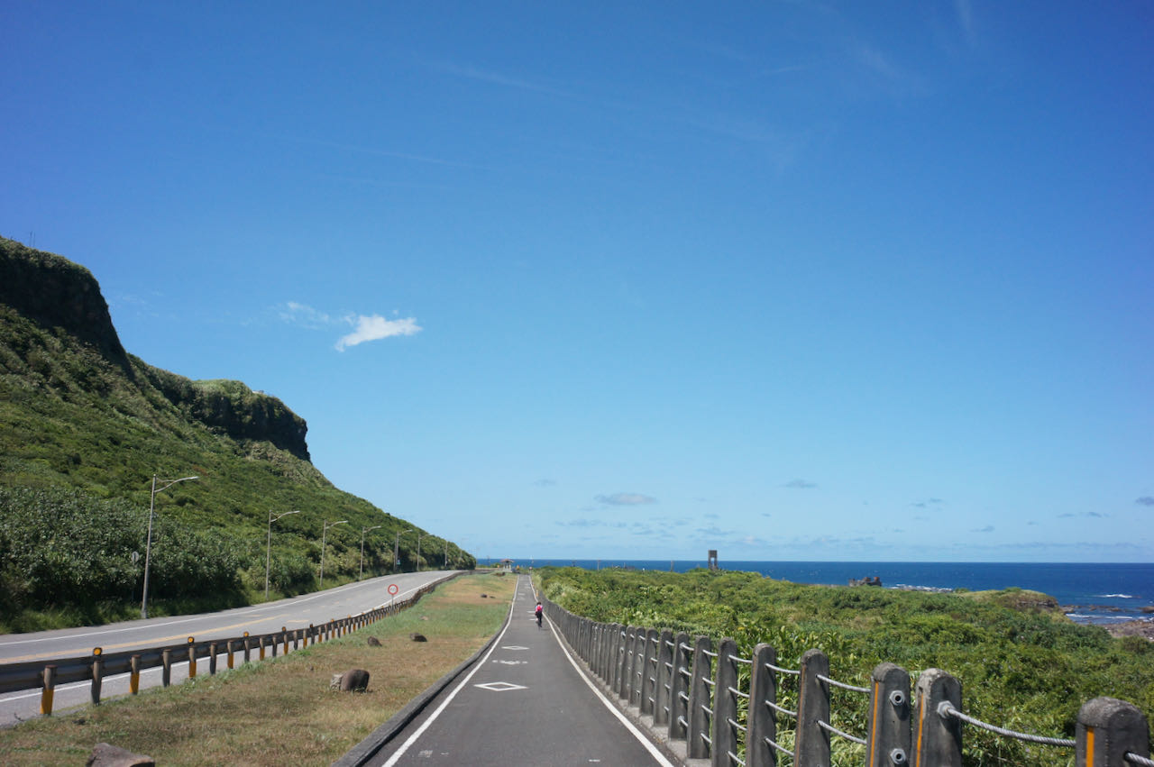
    However, before reaching the entrance of the bikeway, you will need to share Provincial Highway 2 with lots of heavy trucks for 20 km after Toucheng. There should be fewer heavy trucks during weekends or holidays. At the entrance of the bikeway, heading north, the Old Caoling Tunnel provides a shortcut to Fulong Station, offering a cool and surreal cycling experience. Heading east, the separated bikeway running along Provincial Highway 2 provides beautiful views of the coast and other attractions. 

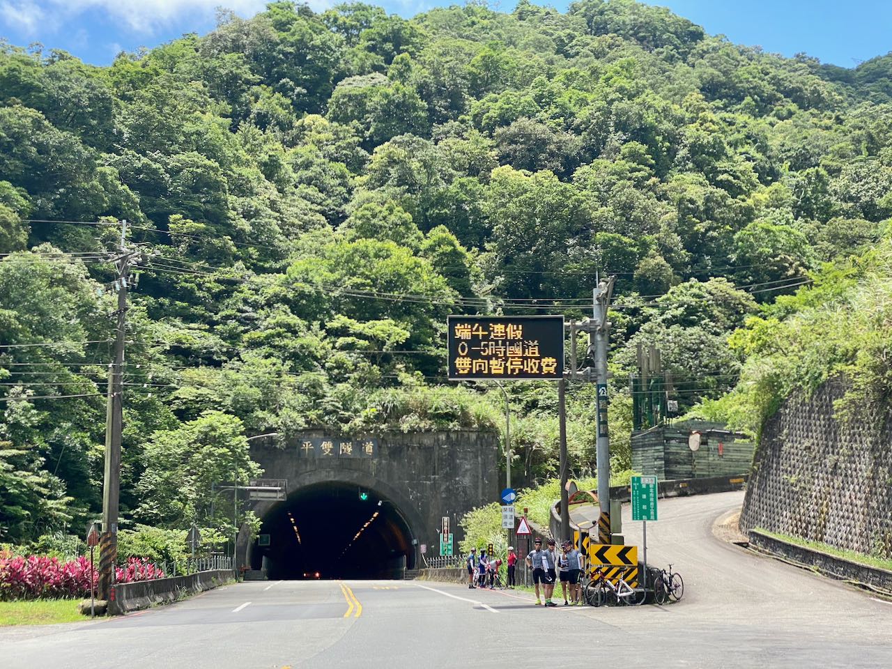
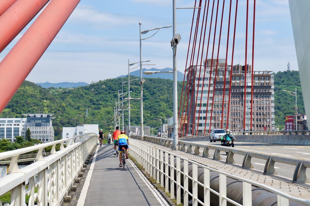
    At Fulong Station, the heavy trucks will continue their journey on Provincial Highway 2 until they reach Ruifang. We will be parted with them and witch to Provincial Highway 2C (2丙)and 5 to get back to Taipei. While Provincial HIghway 2C (2丙), a wide and flat road, offers an enjoyable route with serene views of the green hills, Provincial Highway 5, connecting Keelung to Taipei, has more urban traffic, especially during rush hours. Looking at the elevation profile of Garmin route, you may notice a sharp peak of 525 meters on Provincial Highway 2C. Please note that you don’t need to climb that hill; there’s a tunnel. Komoot provides a more accurate elevation profile. 

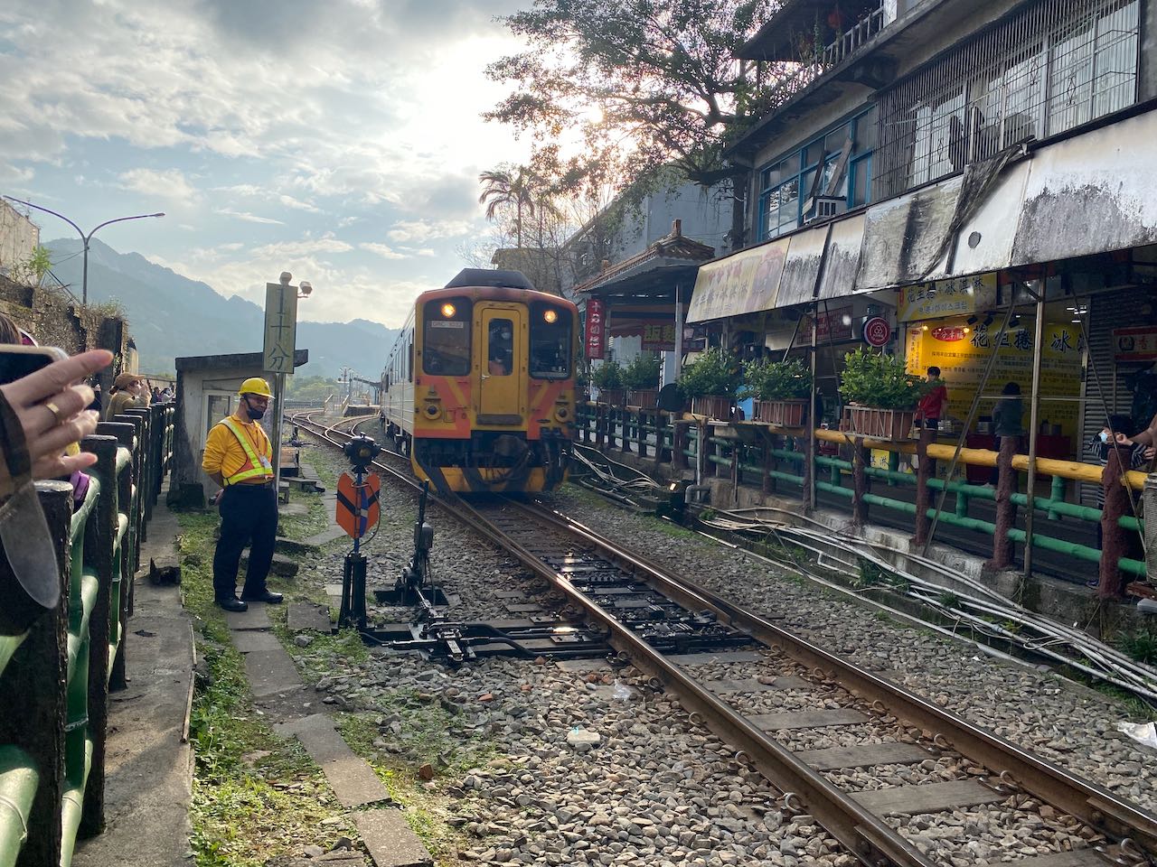
    If you’d like to avoid the traffic on Provincial Highway 5, you can switch to County Highway 106 at Shifen. However, this County Highway is also popular among motorcyclists, so it might be noisy during weekends. After passing this 7-Eleven, you can then Climb County Highway 109 to get back to Nangang, Taipei.

    Another route to return to Xindian District of New Taipei involves climbing two peaks of over 500 meters, with a total ascent of 107 meters, via Provincial Highway 9 through Pinglin District. However I wouldn’t recommend taking this route during weekends or holidays, as it’s usually crowded with high-speed motorcycles. The roaring engines make it nosy, and some of them may try to pass each turn at maximum speed, increasing the risk of accidents.
    Upon reading Taipei, you can use these two posts to plan your route within the urban area of Taipei: Navigate the Riverside Bikeways in Taipei and New Taipei and How to Get Around Taipei Urban Area by Bike

    Official Route

    Alternate Route 1 County Highway 106

    Alternate Route 2 Provincial Highway 9

    Tips from our customer

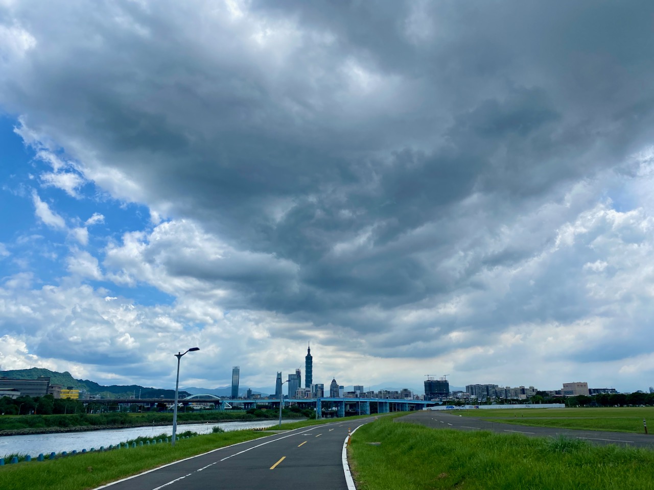
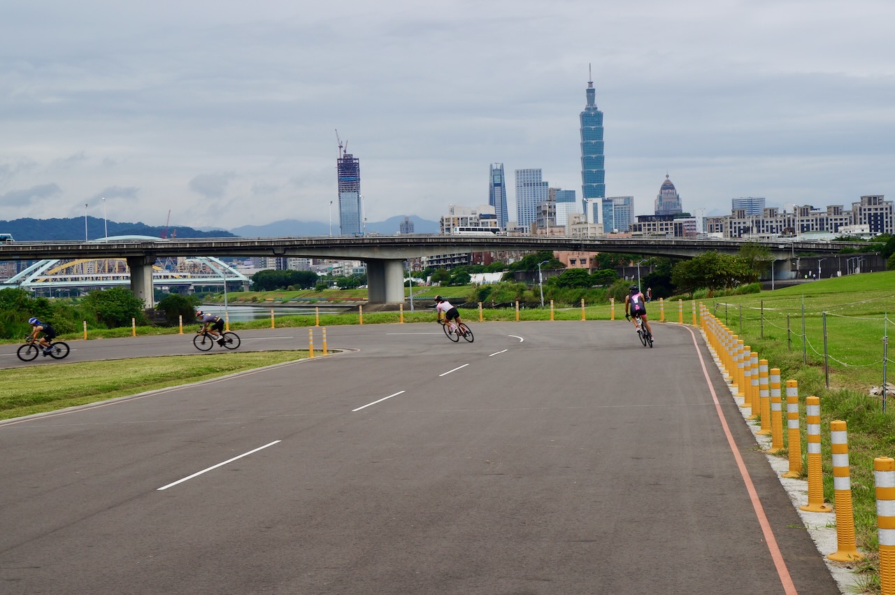
    Levke completed her cycling journey around Taiwan in April 2024. Despite their twists, turns and narrower paths, she found it more enjoyable to cycle on the riverside bikeways from Badu to Taipei. It was particularly meaningful with Taipei 101 becoming closer and larger in front of her eyes when she was riding towards the starting point of Cycling Route No. 1 in Songshan. Here, she generously shares her route with us.

  • Cycle the Five Extremes Around Taiwan – Conquering the Wuling Pass

    Cycle the Five Extremes Around Taiwan – Conquering the Wuling Pass

    Cycle the Five Extremes Around Taiwan is a cycling challenge that entails reaching the five extreme points of the Taiwan main island, including the North, East, South West, and the highest paved road at Wuling Pass, which stands at an elevation of 3,275 metres. Upon completing this challenge, you would have covered a distance of 1,237 kilometers and ascended a total of 11,143 meters.

    While the Four Extremes Around Taiwan already provide a more challenging way to cycle around the island than The Classic 9-Day Cycling Around Taiwan, some fellow cyclists seek to incorporate an epic climb into their journey. Hence, we introduce the fifth extreme at Wuling, making it a total of five.

    In this post, I will discuss the strategies for reaching the High Extreme of Wuling. For information about the other four Extremes, please refer to ‘Cycle the Four Extremes Around Taiwan.’

    Best Time to Climb Wuling

    According to Wang Shen-Chih, who has climbed Wuling Pass more than 200 times and shared his insights with us in this interview, the optimal period to climb Wuing is during autumn when the weather is typically sunny with a low chance of precipitation. Summer is also a viable option as temperatures at the summit are not excessively high. However, it’s important to plan the return trip for the morning hours to avoid the afternoon thunderstorms that are common during this season. He noted that spring tends to have frequent rain, and if it does rain, temperatures can drop below 10 degrees Celsius. Winter is considered the least favourable time for the ascent. It can bring either rain or fog, both of which can soak your clothing and sap your body heat posing challenges, especially during the descent. In the heart of winter, there may even be snow or ice on the road surface, making it hazardous for cyclists.

    Possible Road Blockage and Traffic Control

    When planning your trip, please be mindful of potential road blockages or traffic control measures in the mountain highways. The highways in these mountainous regions are occasionally subject to damage from typhoons or earthquakes. While repairs are typically carried out swiftly, some damages may take several months to fully repair. Construction workers may need to block off sections of the road to perform their work, resulting in specific time windows for passage.

    As of the current date (18 Oct, 2023), there are four sections of Provincial Highway 8, from Xincheng to Wuling, undergoing repairs. For instance, at 179K+500 near Baisha Second Bridge, the scheduled windows for passage are at 10:00, 11:30, 14:00, and after 17:00. In the Kuanyun Section at 117K+400, the passage windows are 07:00 – 08:00, 10:00-10:10, 12:00-13:00, 15:00 -15:10, and 17:00-17:10, with the road closed during other times. The remaining two sections have no fixed schedule; typically, one lane is closed, and two-way traffic takes turns using the remaining lane.

    These passage time windows significantly impact our riding schedule. It’s crucial to plan your ride carefully and have contingency options in case of unexpected delays. Avoid getting stuck on a mountain peak.

    Please refer to this post on how to check the latest road conditions:

    Strategies for Travelling Anti-Clockwise

    Route

    Climbing to Wuling

    To cycle counterclockwise on the Five Extremes Around Taiwan route, you’ll face a challenging climb from Xincheng, Hualien to Wuling, covering a distance of 87 kilometers with a total ascent of 3,768 metres. This segment is the essential route of the KOM (King of the Mountain) race, also known as the ‘Eastern Approach to Wuling’ or ‘東進武嶺’.

    Given the length and limited supply stops along this route, it’s essential to plan your journey carefully. If you cannot complete the ascent in a single day, there are two locations where you can stay overnight. The first option is Tianxiang, which is approximately 20 kilometres from Xincheng, with a total ascent of 636 meters. In Tianxing, you’ll find two hotels, Tienhsiang Youth Activity Centre and Silks Place Taroko, as well as a 7-Eleven.

    The second option is Kuanyun Lodge, located at an altitude of 2,374 metres and much closer to the summit, making it a preferable place to stay over. Keep in mind that dinners at Kuanyun Lodge are served within a specific time window. If you miss the dinner or find the portions insufficient, there is a store that sells instant noodles, available until 21:30, according to the official website.

    The ultimate challenge awaits in the last 10 kilometres, from Dayuling at 2,565 metres to Wuling. At this point, you’ll have expended much of your strength, and the air becomes thinner as you ascend. The remaining total ascent covers 767 meters within this 10.14-kilometre stretch, with 1 kilometre of descent that makes the gradient for the remaining ascent consistently over 10%. Approximately halfway, at around the 5-kilometre mark, you’ll encounter the Hehuanshan Service Station, your last opportunity for resupply.

    However, it’s important to note that the weather at this altitude can change rapidly. If you find the ascent too challenging, encounter unfavourable weather conditions, or realise it getting too late to continue safely, it’s a wise decision to abort the climb and  descend to Lishan for the staying over. It’s a 30 kilometres route with 700-meter descent. 

    Caution with the Long Steep Descent

    While climbing to Wuling presents its challenges, descending requires careful consideration due to the risks involved. Even under favourable weather conditions and ample daylight, the descent demands caution. Before descending, it’s crucial to check your brakes. Some sections are so steep that you may even catch the scent of burnt braking pads from motorbikes and cars in the air. On a particularly sharp turn, there is a wall padded with used tires in place, just in case someone fails to navigate the turn.

    Descending from Wuling in the dark is highly discouraged as it poses extreme dangers. The reduced visibility during nighttime requires a significantly slower descent, which places greater stress on the braking system. To ensure safety, plan your descent during daylight hours, allowing for ample time on your return journey. 

    It’s also essential to bring sufficient clothing to keep warm. As a general rule, for every 100 metres of altitude gain, the temperature drops by an average of 0.65 degrees Celsius. At an altitude of 3,275 metres in Wuling, the temperature is 21 degrees Celsius lower than at sea level. During the descent, your body generates less heat than during the climb. The higher speed of descent amplifies the wind chill effect, further lowering the perceived temperature. If it rains during the descent, it can become a survival challenge. Therefore, it’s advisable to commit to the last 10 kilometers of climbing from Dayuling only under favourable conditions. We could cut our route short by cycling to Lishan from Dayuling directly, which is a more manageable terrain to ride. 

    Lishan is a popular tourist destination with more hotels and restaurants, making it a comfortable location for an overnight stay. 

    Lishan to Yilan

    While the descent from Lishan to Yilan is generally a long and milder one, it’s essential to consider the two significant climbs you’ll encounter along the way. After two descents (9 kilometers, -468 metres; 3.6 kilometres, -195 metres), you’ll face two climbs (9 kilometres, 490 metres; 6.5 kilometres, 155 metres) before reaching Syiyuan Yakou, a mountain pass.

    It’s important to prepare for a significant change in weather as you pass through Siyuan Yakou, especially during winter and spring. The mountain acts as a barrier to the cool north-east prevailing wind, trapping humid air on the northern side of the pass. This results in a significant drop in temperature, typically accompanied by drizzles and fog, making the road surface wet. In such conditions, descending rapidly may not be possible, and frequent brake use is necessary. As a result, braking pads tend to wear quickly, particularly as they grind against the sand sticking to the braking surfaces in the presence of water. Carrying extra sets of braking pads is a safer approach and can alleviate our concerns.

    Strategies for Travelling Clockwise

    Route

    When following this route clockwise, after visiting Fuguijiao, the North Extreme, and Sandiaojiao, the East Extreme, the journey continues with a challenging climb to Wuling from Yilan along Provincial Highway 7 and 7甲 (7A) via Lishan. This particular route is also known as the ‘Northern Approach to Wuling’ or ‘北進武嶺’.

    As you progress between Lishan and Yilan, you’ll find several accommodations scattered along Provincial Highway 7甲 (7A) to choose from. When booking your stay, please ensure that they offer meals, as there are no nearby restaurants. For resupply options, there is one grocery store in Taiping, one FamilyMart in Nanshan Tribal Village, and one 7-Eleven in Huangshan Tribal Village as you make your way from the bottom to Lishan. 

    Lishan is considered an ideal place to stay overnight, as it marks the beginning of the final climb to Wuling, covering a distance of 40 kilometers with a total ascent of 1,474 meters. While this distance may not be extensive, it’s essential to plan adequately for the return trip to the next hotel.

    Once you reach Dayuling and pass through the iconic Hehuanshan Tunnel, the route coincides with the anti-clockwise one, encompassing the challenging 10-kilometers ascent I’ve previously discussed. 
    It’s worth emphasising that the descent from Wuling demands caution. This applies not only to the steep 10 kilometers back to Dayuling but also the remaining descent from Dayuling to Xincheng. You’ll need to navigate a descent of 3,022 meters over 77 kilometers. If you need to stay overnight before reaching sea level, consider Kuanyun Lodge. Alternatively, upon reaching Xincheng Station or Beipu Station in Hualien, you’ll find numerous hotel options to choose from.

    Alternative Route After the 403 Earthquake in Hualien

    We will head northeast from Taipei to Sandiaojiao, the East Extreme, and then ride along the beautiful coast anti-clockwise to visit Fuguijiao, the North Extreme. After checking off these two extremes, we can return to Taipei and ride along the Riverbank Bikeways until we reach Taoyuan. From there, we will climb the North Cross Island Highway to reach Datong Township in Yilan for the ascent on Provincial Highway 7甲 (7A) to Lishan. It’s recommended to plan a night there as there are hardly any hotels beyond this tourist town before reaching Wuling and descending to Qingjing or Puli for another night. In the suggested route, I guide you to the west coast and visit the West and South Extremes. However, it is fine if you prefer to stay in the mountains to head south.

    Routes Part 1:

    Routes Part 2:

  • Cycling Around Taiwan in Multiple Stages (4): Taipei, Fulong, Fuguijiao

    Cycling Around Taiwan in Multiple Stages (4): Taipei, Fulong, Fuguijiao

    This three-day itinerary around Greater Taipei is the fourth stage of the Cycling Around Taiwan in Multiple Stages series. After completing this stage, we will have closed the loop of cycling around Taiwan. At this stage, there’s no need for public transportation as we start and end at Songshan Station. Whenever you are ready, just grab your bike and ride. You will soon realise how close Taipei is to the diverse natural beauty –  with mountains,  seas -and to rich culture found in charming towns. Flexible GPS routes are included to suit different riding styles. Whether you are a leisure rider or an endurance explorer, this journey promises unforgettable views and a refreshing way to enjoy your holiday.

    Day 1 Taipei To Fulong

    We will cycle from Taipei to Fulong, a relaxing resort town on the northeastern tip of the island. The starting point I use is the official starting point of Cycle Route No. 1, located outside Songshan Train Station. If you are staying in another part of Taipei, you can use the  Riverside Bikeways to reach the starting point via a traffic-free route. Alternatively, take the MRT during weekends or non-peak hours. If you are near the Green Line, get off at Songshan MRT station. For the blue line, alight at Nangang Exhibition Center Station (if you are not aiming at the official starting point.)

    From the start, we join the Riverside Bikeways to reach County Highway 109. Once you leave the Nangang Exhibition Centre, the cityscape gives way to quiet  country towns. There is a short steep climb before reaching County Highway 106. Take it easy-you can always dismount and push your bike if needed. It is only around 2 km. The descent that follows is equally steep, so again, take your time and ride safely.

    County Highway 106 is a much gentler ride. You’ll pass through several small villages, including Jingtong, Pingxi and Shifen, which are worth visiting if you are making good progress. If you notice the GPS route branching into small streets away from County Highway 106, that’s trying to show you some interesting spots. If you are short on time, just stay on County Highway 106. We will eventually  leave county highway 106 from Shifen. Make sure you switch to Provincial Highway 2C or (2丙).

    After a brief climbing on Provincial Highway  2C or (2丙), you’ll enter a tunnel that leads to Shuangxi and then Fulong. If you see a sharp climb on the elevation profile at 38.5km up to 396 metres, don’t worry – that’s just the navigation software failing to recognise the tunnel and misreading it as a climb over a hill. You won’t have to make the climb. Instead, enjoy a thrilling descent onto a wide tranquillising country road with a gentle downward slope leading all the way to Fulong. Be sure to turn on your rear light before entering the tunnel.

    Once you reach Fulong Station, you might choose to save the final loop for the next day. This scenic loop includes fishing harbours, a lighthouse, and a bike tunnel – definitely worth lingering over. If you notice a peak starting at 60km (near the tunnel entrance), that’s another tunnel error in the GPS software.

    Garmin GPS data shows a total ascent of 1108 metres, but the two tunnels save you 318 metres, so the actual total ascent is around 790 metres.

    Route

    NOTE: To use the routes, please install the App on your smartphone. The App will launch and load the route automatically after you tap the above links on your smartphone’s browser. For Garmin Connect, you can then use the APP to send the route to your garmin device. If your Garmin device is not purchased in Taiwan, you will also need make sure you have the Taiwan map on your device. Here is our blog post on this topic.

    Day 2 Fulong to Jinshan

    There are three possible routes for this stretch:

    Coastal Route

    The coastal route is flat, straightforward, and filled with scenic views, including the Cape Bitoujiao. However, be aware that Provincial Highway 2 is busy with heavy trucks until they divert to Express Highway 62 near Ruibin. Some of the road is narrow, and there are 2-3 short tunnels. Before entering the narrow short tunnels, it is best to let vehicles pass.

    Some of the tunnels can be bypassed. For instance, a detour to Longdong Lookout can bypass a tunnel but it involves a short stairway, and the tunnel near the Bianfudon Park can be avoided via a small village — both detours are included in the GPS route.

    After the trucks switch to Express Highway 62 at, cycling becomes more enjoyable. You’ll  pass through Keelung City, which is busier, but we’ll briefly leave the city once we reach the Maritime Plaza. I’ve routed the GPS route through Waimusha Fishing Harbour for a quieter, picturesque ride. There’s even a dedicated bikeway running through a beach that leads to Wan-li Fishing Harbour.

    The popular Yehliu Geopark park is a short ride from Wan-li. If you want to explore it in depth, consider staying overnight there. Otherwise, continue to Jinshan District. 

    This route includes both the Northeast Coast (beautiful but busy) and part of the North Coast (less traffic, more leisure spots).

    Buyan Pavilion Route

    To avoid coastal traffic, you can cycle inland to Shuangxi and climb to Buyan Pavilion (516m), then descend to Jiufen – a charming area with concentrated points of interest. Jiufen Old Street and the Liukeng Slope Ropeway are included in the GPS route.

    After Jiufen Old Street, descend halfway and make a short climb to reach the Ropeway, then follow the route down to Yingyan Sea to merge with the coastal route. There are still 5 km shared with truck traffic.

    To avoid trucks completely, skip the Ropeway and descend County Highway 102 to Ruifang Station, then rejoin the coastal route. (Route not included.)

    If you have extra time, consider staying overnight in Jiufen. The atmosphere changes beautifully in the evening.

    Sandiaoling Tunnel Route

    The third option is using the Sandiaoling Tunnel to avoid both the hill climb and the heavy truck traffic on Provincial Highway 2. This is supposed to be the best route – flat, scenic, and free of charge – but it comes with some bureaucratic administration requirements: advance booking is required, the tunnel is generally closed on Mondays, and you’ll need to plan your ride to make sure you enter the tunnel within your reserved time slot, which is limited to a 2-hour window. 

    Unfortunately, all these bureaucratic requirements, along with poor design choices, really defeat the purpose of what should be a cyclist-friendly passage. The raised road surfaces are paved with stripes of rebar, creating numerous gaps, which present a tripping hazard, especially if you are using shoes with cleats for clipless pedals. Be sure to hold your smartphone or bike computer tightly to avoid dropping it through the gaps.

    Despite these inconveniences once you get through the tunnel, the ride ou’ll be rewarded with interesting remnants of the area’s coal mining history. You can also visit the Houtong Cat Village, a well-loved tourist stop. From there, it’s a pleasant ride to Ruifang Train Station, where you can merge with the coastal route at Ruibin.

    Coastal Route

    Buyan Pavilion Route

    Sandiaoling Tunnel Route

    NOTE: To use the routes, please install the App on your smartphone. The App will launch and load the route automatically after you tap the above links on your smartphone’s browser. For Garmin Connect, you can then use the APP to send the route to your garmin device. If your Garmin device is not purchased in Taiwan, you will also need make sure you have the Taiwan map on your device. Here is our blog post on this topic.

    Day 3 Jinshan to Taipei

    There are two return options. 

    Coastal Route

    Follow Provincial Highway 2 along the coast to Tamsui. The first half offers spectacular ocean views and leads you to Fuguijiao Lighthouse – the island’s northern tip – which I’ve included as a detour in the GPS route. Afterward, enjoy a local rice dumpling in a restaurant nearby.

    The GPS route then takes you onto quieter bike paths before rejoining Provincial Highway 2. The second half is less close to the sea, so views are more limited. Expect 3 to 4 small climbs before entering Tamsui District, where you can follow Riverside Bikeways back to Songshan Station. Alternatively, take the MRT from HongshulinStation with your bike. (See “How to Ride with Your Bike on Public Transportation in Taiwan” for more.)

    Yangmingshan Route

    Since the second half of the coastal route isn’t as scenic, you may prefer a final challenge: climbing Yangmingshan. County Highway 101 Connects Sanzhi District to the mountain and offers a steady climb – 900 metres over 21 km, with an average gradient of 3.8%. 

    For the descent, the GPS route avoids busy Provincial Highway 2A (2甲), taking through a quiet road instead. Then after a final 140-metre climb, you’ll reach an area with large shopping malls before entering the Riverbank Bikeways and returning to Songshan Station.

    Coastal Route

    Yangmingshan Route

    Conclusion

    This three-day cycling journey around Greater Taipei offers a rich blend of coastal scenery, mountain challenges, and cultural highlights. From the gentle riverside start in Taipei to the tranquil shores of Fulong, the rugged coastline to Jinshan, and the scenic return via either the coast or the volcanic slopes of Yangmingshan, each route provides its own unique experience. Whether you prioritize stunning sea views, hidden mountain gems, or historical towns, the GPSroute options allow for a flexible and rewarding ride tailored to your pace and preferences. Happy cycling!

  • Cycling Through Taiwan: A Seasonal Weather Guide

    Cycling Through Taiwan: A Seasonal Weather Guide

    I often receive customers asking about the weather in Taiwan. Here I would like to share with you a brief idea of the climate of the island.

    Quick Facts

    CategoryDetails
    Temperature– Annual average: 24°C (South), 22°C (North)
    – Warmest: July (average 27°C)
    – Coolest: February (15°C North, 19°C South)
    – Temperature decreases in higher altitudes.
    Winter– Short, mild, rarely below 10°C at sea level
    – Ideal for cycling
    – Few days exceed 30°C in late autumn to early spring
    Summer– Hot, especially at noon (risk of heat stroke)
    – Best to start cycling early in the morning, before sunrise
    Precipitation– Annual average: 6,700mm
    – Mostly brought by typhoons
    – More rain in mountains, east coast, and windward sides
    – Winter: North drizzly, South dry
    – Summer: South rains more, with 1–2 hr thunderstorms
    – 3.5 typhoons/year (June–October)
    Sunshine– Summer: 5:00–18:45
    – Winter: 6:30–17:00
    – Navigation can be tricky when it gets dark
    – Use sunblock even on cloudy days
    Wind– October–April: Strong northeast monsoons
    – Hengchun Peninsula: Beware of downhill winds
    – May–September: Southwestern monsoon, lighter winds

    Information source: http://twgeog.ntnugeog.org/en/climatology/

    Weather in Taiwan During Cycling Seasons

    Since most people visit Taiwan for cycling between September and April, here is detailed description of the weather based on data from the Central Weather Administration (1991-2020) and my personal experience in Taiwan. 

    Temperature

    The entire island remains hot in September. Data from 1991-2020 indicates around 20 days with maximum temperature exceeding 30℃ (hereafter referred to as “hot days”), except in higher-altitude areas like Sun Moon Lake, which only experiences 2 hot days. Locals refer to this lingering heat as the “Autumn Tiger” – the heat bikes.

    In October, the northern part of the island cools significantly, with about 6 hot days. However, the south remains warm, feeling like summer with 12-20 hot days. 

    As the winter sets in during November, hot days become rare, lasting until April when the southern region sees around 12 hot days, and the northern region fewer than 10. The average temperature across the island ranges from 16℃ to 25℃, except in high-altitude areas.

    Precipitation

    Typhoons may still affect Taiwan in September and October, bringing heavy rains that could disrupt travel plans. If you’re visiting during this period, keep an eye on Pacific typhoon activity. 

    From November to April, Taipei experiences 12 -15 rainy days per month (defined as days with over 0.1mm of precipitation). Most of these are light drizzles caused by prevailing northeast winds, making cycling still manageable due to the mild temperatures.

    Cycling southward from Taipei on an anti-clockwise route, the likelihood of rain decreases. Cities like Hsinchu, Taichung, and southern regions on the west coast have 3-9 rainy days per month, depending on the location. On the east coast, rainfall increases as it’s the windward side of the mountains. Dawu and Taitung see around 10 rainy days monthly. Further north, Su’ao and Yilan experience 18-20 wet days. So, you are cycling back to the wet zone as you head north. Prepare for wet conditions on the way back to Taipei.

    Wind

    Wind is a crucial factor when planning a cycling itinerary.

    Using the Bike Calculator, a cyclist weighing 70 km requires 70 watts of power to maintain a speed of 20km/h on a flat road. It takes 5 hours to cover a 100 km ride.However, with a 5m/s (18km/h) headwind, the speed drops to 11.7km/h, extending a 100 km ride to 8.5 hours. Conversely, a 5 m/s tailwind boosts speed to 30 km/h, reducing travel time to 3.33 hours.

    Average wind speeds in Taiwan range from 2m/s to 6m/s, but during the northeast wind season, speeds often exceed 5m/s. Following our anti-clockwise Classic 9-Day Cycling Around Taiwan Itinerary, you’ll benefit from tailwinds on the west side of the island by travelling southwards. As the west is more populous, you may follow the routes on this post – Speed Up on the West Coast to avoid the traffic lights for thrilling speed rides.

    As you climb over Shouka and descend to the east coast, headwinds become challenging. Day 5 (Pingtung County to Taitung County)  is particularly tough during the northeast wind season. After climbing a 500-metre hill, you will find yourself cycling along cliffs exposed to the Pacific Ocean, with endless, unobstructed fresh headwinds blowing in your face. Splitting this stretch into two days is advisable, as it not online allows riders more time to combat the wind but also to savour the scenic beauty.

    In Taitung, the Rift Valley provides some wind protection, with the southern section being the most picturesque. It is preferable to stay there. But if you had not enough of the sea, consider switching to Provincial Highway 11 on Provincial Highway 30 from Yuli, on 花64 (Ruigang Industrial Road) Ruisui or on Provincial Highway 11甲 (11A)  Guangfu.  “ 花64 or Ruigang Industrial Road from Ruisui to Fengbin is the most interesting route, Provincial Highway 30 from Yuili to Ningpu is the 2nd best and Provincial Highway 11A or 11甲 is good for a passage”, said Eddie Chen, the cyclist Youtuber.

    Upon reaching Yilan, prevailing winds continue to push aghast us. However,  cycling anti-clockwise means you’ll avoid the harsher headwinds of the west side, according to Eddie Chen’s experience. After turning northwest at Sandiaojiao, we’ll once again have a tailwind to propel us back to Taipei, completing the loop.

    Tips for Cycling in Taiwan During Summer

    While summer in Taiwan is often considered too hot for cycling, some enthusiasts still complete the loop. Here are some tips if you plan to ride during this season:

    Hand-pick Your Routes

    Choose shaded routes to escape the sun. Temperatures are cooler at higher altitudes, with areas like Sun Moon lake and Alishan rarely experiencing days over 30°C in July and August. If you like climbing, you may stay in the mountains by following the routes in these two posts – Slit the Sweet Potato – Cycle Through Taiwan’s Mountainous Splendor, part 1 and part 2.

    Recommended Daily Schedules

    Start early, before sunrise, to avoid the heat. Take long lunch breaks or schedule indoor activities during midday. Frequent stop at air-conditioned convenience stores can help you cool down.

    Stay Hydrated

    Drink water or electrolyte drinks regularly to combat dehydration caused by heat and humidity. Ice, available at convenience stores at the same price of a bottled water, can help keep your drinks cool.

    Wear Appropriate Clothing

    Wear lightweight, breathable, and UV-protective clothing such as Lycra or polyester. These materials wick sweat away, keeping you cool while protecting your skin from sunburn. Avoid cotton, which traps moisture and increases discomfort.

    Sunscreen is a Must

    Apply sunscreen 20-30 minutes before heading out and reapply every two hours. Use SPF lip balm and wear a tube scarf to shield your lips and neck.

    Beware of Heat Exhaustion

    Be alert for signs of heat exhaustion, including cool moist skin, heavy sweating, dizziness, or fatigue. If symptoms occur, stop cycling, rest in a cool place, and hydrate. Seek medical attention if necessary.

    Conclusion

    Cycling in Taiwan offers an unparalleled experience for riders, blending scenic landscapes with diverse weather conditions. Whether you’re navigating the autumn heat, cruising with tailwinds in winter, or tackling summer challenges, careful planning ensures a memorable journey. Embrace the unique beauty of Taiwan’s seasons and discover the joy of cycling through its captivating landscapes.

  • Cycle Around Taipei – Unveiling Cultural Heritage and Training Routes on Two Wheels

    Cycle Around Taipei – Unveiling Cultural Heritage and Training Routes on Two Wheels

    The 68 km cycling route around Taipei offers an ideal option for long-distance training within the city limits. A significant portion of the route, 52 km to be precise, follows the Riverside Bikeways, ensuring a stress-free and disruption free cycling experience, thanks to its motor-vehicle-free and traffic-light-free environment. On the east side of Taipei, cyclists have two options to complete the loop, each involving a climb over a 200-meter hill, adding a touch of intensity variety to the route.

    The first option involves ascending through Fudekeng, a tranquil graveyard with minimal traffic. Upon reaching the summit, enjoy a thrilling descent on Section 4 of Yanjiuyuan Road, leading you to Nangang District. Exercise caution and control your speed, especially considering the potential for sharp turns at the bottom of long slopes.

    The second option involves taking County Highway 106 into Shenken District of New Taipei City. Here, you’ll encounter an old street with stinky tofu and various restaurants offering lunch options. Following this, a climb over County Highway 109 is necessary to reach Nangang District and the Riverbank Bikeways. This route tends to have busier traffic, and the ascent and descent on County Highway 109 is steeper. However, it provides the flexibility to extend your ride further, perhaps to Shiding District or beyond, if the initial 68 km doesn’t satisfy our cycling appetite.

    This route could be completed within 3-4 hours, or you can choose to pause at the following points of interest for sightseeing to better explore Taipei. While I’ve selected Songshan Station as the default starting point, feel free to begin your ride anywhere. This post, Navigate Riverside Bikeways in Taipei and New Taipei, provide a list of access points to get into the Riverside Bikeways.

    Keelung River

    Starting from Songshan Station, the official starting point of Cycle Route No. 1, your journey kicks off with the picturesque Songshan Ciyou Temple greeting you at the entrance of Raohe Night Market before entering the Riverbank Bikeway. Cycling anti-clockwise, you’ll pass under several notable bridges, including the yellow and blue ones both named after the late US General, MacArthur.

    Notably, the red cable-stayed Dazhi Bridge, featuring a curved tower and a dedicated bike path, offers a fantastic vantage point to admire the bikeways with the Grand Hotel as a backdrop. Continuing westward, the Lin An Tai Historical House and Museum await just outside the Lin An Tai Evacuation Gate, providing a free glimpse into the lifestyle of a prestigious traditional Chinese household in a great house. 

    As you proceed on the bikeway, encounter the charm of the Old Children’s Amusement Park, featuring an old merry-go-round and a small ferris wheel on a lush lawn. Dating back to 1934 during the Japanese rule, this area, left to be consumed by vegetation after the opening of a new park in 2014, was lovingly restored and opened to the public in 2019. Not far from here is the old Taipei Zoo. 

    Tamsui River

    The bikeway then leads to Shezi Island, shaped like a duck head on the map. At the island’s tip, witness the majestic confluence of the Keelung River and the Tamsui River as they continue their journey into the Pacific Ocean. The area provides a sheltered space with a captivating view of the rivers, offering a perfect pot to unwind. Heading south along the Tamsui River and passing several evacuation gates, you’ll eventually reach the Dadaocheng Pier Plaza. In the evening, this plaza comes to life with containers transformed into cafes. During the Qing rule in the nineteenth century, this pier served as an important trading for local products including tea, rice and camphor. Close by is the renowned Dihua Street, where the business owners were historically situated.

    Xindian River

    Continuing our ride southward through expansive parks, the Machangting Memorial Park unfolds before us. Originally a training ground for horse riding during the Japanese ruled period. During the KMT White Terror period, the waterfront area – the memorial park – was used as an execution ground. 

    Continuing further, outside of the wall, you’ll encounter the Kishu An Forest of Literature. This park features a traditional Japanese wooden building, the remnants of a famous Japanese restaurant from the colonial era. Accessible from the Riverside Bikeway, a stairway with a ramp in the middle provides a means to climb over the wall with our bikes.

    As we approach the Gongguan district, the Treasure Hill Artist Village emerges before we bid farewell to the Xindian River and transition to the smaller Jingmei River. Nestled on a small hill behind a lush lawn, this site, once a slum housing veterans and immigrants from mainland China after the KMT lost the civil war, has transformed into an art display venue and a haven for artists.

    Heading upstream along the Jingmei River, we encounter the New Taipei Zoo, inaugurated in 1987, marking the conclusion of the bikeway before our ascent begins.

    Conclusion

    Cycling around Taipei provides not only an excellent training route but also a unique opportunity to explore the cultural heritage of the island, spanning the periods of Dutch and Spanish rule, Qing Rule, Japanese Rule, and the Republic of China Rule. Taipei stands as a city that cherishes and preserves its rich history. And hat off to those dedicated to safeguarding the island’s cultural legacy.

    A Brief History Reference:

    • Dutch and Spanish 1624 – 1662
    • Kingdom of Tungning 1662 – 1683
    • Qing Rule 1683 – 1895
    • Japanese Rule 1895 – 1945
    • Republic of China Rule 1945 – Present
      • White Terror 1947 – 1987

    For a glimpse into Dutch and Spanish rule, a visit to Tamusi, easily accessible via Riverside Bikeways, allows exploration of Fort San Domingo. While the Kingdom of Tungning left its mark on the southern part of the island, Taipei doesn’t carry significant legacy from this period.

    Route

    Via Fudekeng

    Via County Highway 106, 109

    NOTE: To use the routes, please install the App on your smartphone. The App will launch and load the route automatically after you tap the above links on your smartphone’s browser. For Garmin Connect, you can then use the APP to send the route to your garmin device. If your Garmin device is not purchased in Taiwan, you will also need make sure you have the Taiwan map on your device. Here is our blog post on this topic.

  • Speed Up on the West Coast – A Strategy to Cover the West when Cycling Around Taiwan

    Speed Up on the West Coast – A Strategy to Cover the West when Cycling Around Taiwan

    The Classic 9-Day Cycling Around Taiwan (referred to as the Classic 9-Day itinerary hereafter) offers a comprehensive route allowing cyclists to experience various facets of Taiwan, including the Riverside Bikeways, coastal areas, inland towns, farmlands, and the rift valley. However, some cyclists may find it less appealing to navigate through numerous small towns in the last 20 km of Day 2, the entire Day 3, and Day 4, as Cycle route No. 1 directs riders into the more populous areas on the west side of the island. The increased traffic and lengthy traffic lights during these three days could disrupt our tempo, test our patience, and impede our progress.

    If the itinerary of these two day doesn’t appeal to you and you’re not planning to make a detour to Sun Moon Lake, consider sticking to the less populous coast for reduced traffic and fewer traffic lights. Along this route, roads stretch forward into the limitless horizon, offering uninterrupted cycling with splendid sea views. You can stop at both big and small fishing harbours for breaks and overnight stays. During seasons with north prevailing winds providing tailwinds, it is possible to cover more than 200 km a day by combining two days or more into one. If you’re up for the challenge of cycling around the island in fewer days, this is the route to take.

    Day 1 Songshan to Hsinchu Hugging the West Coast

    Embark on a riverside bikeway journey to Guandu, then trace the west coast from Bali for an uninterrupted cruise to Hsinchu on a flat, wide route.

    In contrast to the Day 1 route in the Classic 9-Day itinerary, which follows the river to Taoyuan followed by a brief climb and descent to Hsinchu, this route takes you to Bali Old Street on the west coast. This area boasts a sparse population, allowing for a seamless seafront cruise with minimal interruptions at traffic lights. Most of the traffic is on the elevated Provincial Highway 61, leaving the ground level for bicycles and creating a quieter atmosphere. Along the way, enjoy scenic spots like the Caota Sand Dunes. After passing Yongan Fishing Harbour, consider taking the Xinwu Green Corridor, a popular bikeway. small hotels dot the coast of Hsinchu, and additional options are available in the city center, just 10 km from the coast.

    Route

    When using this route for navigation, please note that there are two highways overlapping on the west coast: the elevated Western Coastal Expy 61 and roads on the ground level (mainly Provincial Highway 15 or 15A). Bikes are not allowed on the Western Coastal Expy 61. Please stay on ground level at all times unless there is a river to cross where Provincial Highway 15  rises to the same level as Expy 61.

    NOTE: To use the routes, please install the App on your smartphone. The App will launch and load the route automatically after you tap the above links on your smartphone’s browser. For Garmin Connect, you can then use the APP to send the route to your garmin device. If your Garmin device is not purchased in Taiwan, you will also need make sure you have the Taiwan map on your device. Here is our blog post on this topic.

    Day 2 Hsinchu to Taichung or Lukang

    Cycle southward on the long, flat road along the seafront to witness the mesmerising wind farms and scenic beauty of Gaomei Wetlands. Spend the night in either the Wuqi District of Taichung or the historic port city of Lukang, renowned for its rich historical heritage.

    While the last 20 km of Day 2 in the Classic 9-Day itinerary guides you toward populous inland areas, this route directs you to the coast further south, offering thrilling speed rides. The route concludes in Lukang, providing an array of hotel and restaurant choices for dinner. Lukang, once a bustling trading port for deer skins and hides during the Dutch Period, has evolved into a popular tourist destination featuring numerous temples and traditional buildings. 

    If reaching Lukang seems challenging, the Wuqi District in Taichung also offers hotel accommodations.

    In the the suggested route for Day 2, I have included a section to go from Hsinchu Station to the Coast via a dedicated bikeway in case you stayed in near the train station the previous night.

    Route

    NOTE: To use the routes, please install the App on your smartphone. The App will launch and load the route automatically after you tap the above links on your smartphone’s browser. For Garmin Connect, you can then use the APP to send the route to your garmin device. If your Garmin device is not purchased in Taiwan, you will also need make sure you have the Taiwan map on your device. Here is our blog post on this topic.

    Day 3  Taichung or Lukang to Budai

    Bid farewell to Lukang and continue along the endless, straight, flat road until you reach teh small island of Budai.

    If you’re making good progress, consider a short detour to the lighthouse in Fangyuan, where tourists often ride tractors to visit oyster farms and experience oyster harvesting. Returning to the main route, further south, another brief detour to Dongshi offers plenty of restaurants serving fresh oysters.

    As you travel past Dongshi, you’ll pass the Tropic of Cancer, entering Taiwan’s tropical area where temperature rises.

    Upon reaching Budai, the fish market awaits, offering delicious seafood to reward your day of hard work. Please be aware that they close early.

    Route

    NOTE: To use the routes, please install the App on your smartphone. The App will launch and load the route automatically after you tap the above links on your smartphone’s browser. For Garmin Connect, you can then use the APP to send the route to your garmin device. If your Garmin device is not purchased in Taiwan, you will also need make sure you have the Taiwan map on your device. Here is our blog post on this topic.

    Day 4 Budai to Kaohsiung

    Day 4 marks another day of non-stop cycling along the west coast. We’ll depart from Chiayi, pass through Tainan, and converge with Day 5 of the Classic 9-Day itinerary in Kaohsiung. Along the way, you may notice many ponds with water wheels in Tainan. these are likely farms cultivating the ubiquitous milkfish and clams found in Taiwanese supermarkets and restaurants.

    The lengthy Provincial Highway 17 will guide us to the west side of the urban area of Tainan City. Though traffic is bustling, it’s a short distance before we exit the city on our way to Kaohsiung. In addition to oysters and milkfish, beef soup is a beloved dish in Tainan. To explore local options, search for “牛肉湯” on GoogleMaps in Tainan, and you’ll find a plethora of restaurants offering beef soup. Here are four closed to Provincial Highway 17.

    The GPS route will lead you to Nanzi Station but you may stick to Provincial Highway 17 to get to Kaohsiung Station if that’s your destination. The location to stay over will impact how we cycle through the sprawling urban area of Kaohsiung the next day. Please refer to Day 5 of the Classic 9-Day itinerary for the strategies to deal with the busy traffic in the city.

    Route

    NOTE: To use the routes, please install the App on your smartphone. The App will launch and load the route automatically after you tap the above links on your smartphone’s browser. For Garmin Connect, you can then use the APP to send the route to your garmin device. If your Garmin device is not purchased in Taiwan, you will also need make sure you have the Taiwan map on your device. Here is our blog post on this topic.

    So, these are the coastal branches for you to cover the west. Please follow the itinerary outlined in the Classic 9-Day for the rest of the trip.

  • Taming the Two Towers: Conquering a 520 km Cycling Challenge in 26 Hours

    Taming the Two Towers: Conquering a 520 km Cycling Challenge in 26 Hours

    I signed up for the Two Towers in One Day Challenge in Taiwan again in 2022 and successfully completed the 520 km challenge in 26 hours.  Here is how I did it.

    Setting a Very Firm Target

    I’ve set a very firm target for myself this year. I aim to complete the ride, regardless of how long it takes. If I can finish within 28 hours, I’ll be awarded a trophy, but that’s not my main focus. My primary goal is to finish it this year, even if it takes 35 hours or more. At the very least, I’ll have a record on Strava. I anticipate getting sleepy towards the end of the challenge in Pingtung but quitting is not an option. In the worst-case scenario, I might have to take a short nap in those convenience stores.

    Supporting Services

    To enhance my focus on cycling during the challenge, I opted for a support service package offered by XiaoChu, a friend who operates a company providing cycling tour services. This comprehensive package covers logistical aspects such as reaching the starting point before the event, supply stops during the ride, and the return trip to Taipei. Additionally, in the unlikely event that I cannot complete the ride, there’s the option to safely transition to the hotel at the destination by hopping on one of the support cars. I’ll delve into more details on how these support services played a crucial role in helping me complete the ride later.

    A Proper Bike Fitting

    Last year, I only made it to Tainan, and some issues emerged after long-distance cycling. My shoulders and elbows hurt because I relied heavily on them to support my body weight when fatigue set in, causing my posture on the bike to deform. Additionally, I experienced persistent lower back pain after cycling for more than 70 km. My forefeet were squeezed to the point where I couldn’t feel my fourth toes. Long-distance cycling serves as a stres test on my bike fitting. 

    As for the lower back pain, I initially attributed it to my own mistake of over-inflating the tires after a pinch flat from a pothole. However, after delving into more research, I identified the main causes and their solutions. According to a video by the Road Cycling Academy, it was a pair of muscles in my lower back, the Quadratus lumborum, that became victims of overloading. According to Neill Standury, the bike fitting expert in the video, I learned that these muscles play a crucial role in stabilising the pelvis during pedalling. Excessive rocking of the pelvis, caused by factors such as the saddle set too high, cleats positioned too forward, crank arms too long, or the Q-factor of the pedals being too narrow, can lead to overloading of the Quadratus lumborum. This can be confirmed by having eh pain subsided quickly after getting off from the bike and allowing these muscles to rest.

    In my case, the culprit was the saddle height. Since lowering it, the lower back pain issue has significantly improved. It tends to occur only when I exert more effort for increased speed over an extended period. However, the discomfort fades away if I ease up on the pedalling without the need to a complete stop. By managing my pace, I can delay the onset of the pain.

    Lowering the saddle also addressed another issue — the problem with my forefeet being squeezed disappeared completely. With the saddle too high, my toes had to point towards the ground beyond the 3 to 4 o’clock position with each pedal stroke. Unintentionally, I was pushing my feet into the toe box of my shoes, squeezing my toes together and restricting blood flow into my fourth toes. The lower saddle rectified this, ensuring my feet are more level and can rest on the pedals at a proper angle without any discomfort or squeezing of my toes. 
    But what about the power output? Does lowering the saddle mean sacrificing power? Not necessarily. Interestingly, a higher saddle doesn’t guarantee a better position for maximising power output. Our muscles contract to pull our bones and exert force on the pedal. As illustrated on this page – Force of Muscle Contraction, the maximum tension of our muscles is found at the middle of the contraction. As a muscle contracts to its end of range, the tension decreases rapidly. Therefore, to achieve the maximum force, we want our muscles to operate at the middle range of contraction. A higher saddle does not necessarily translate to increased muscle power output.

    For my elbows and shoulders, their role is solely for steering, not supporting my body weight. It’s crucial not to cock my elbows, as doing so would transfer all impacts directly to the joints, especially on uneven roads. Keeping the arms slightly bent allows the tendons and muscles to absorb most of the impacts. Lowering the saddle has the added benefit of shifting my center of weight away from my arms. This adjustment makes it easier to maintain my position with comfortable bent arms.  

    The Rikulau Master V9

    This year, I used the Rikulau Master V9, The V9 (Vulcan) features Rikulau’s proprietary seamless tubing made with Custom C465 stainless steel by Carpenter Technology, USA. Custom C465 stainless steel is specifically developed for aerospace and marine applications. The general corrosion resistance of the alloy, tested with exposure to 5% neutral salt spray at 35°C, resulted in no corrosion after more than 2,000 hours of exposure. 

    The tube-making and heat treatment processes are conducted in Taiwan. Achieving a balance in tensile strength (approximately 1800MPa) and good ductility is accomplished by selecting the appropriate age-hardening heat treatment temperature according to Rikulau’s introduction to this bike. 

    This is the first road bike I intend to own and ride for decades. I have travelled with it to many places in Taiwan and have already developed some emotional attachment ot it. 

    I believe a well-maintained drop-bar road bike with proper sizing should be sufficient. While a flat-bar road bike might be acceptable, it offers only two holding positions at best, limiting our ability to rotate our position. This inflexibility may lead to overworked muscles, especially considering we’ll be spending more than 24 hours on the bike.

    Logistic Preparation 

    The challenge began at midnight at Fugui Cape and was expected to last around 24 hours, encompassing two night periods. To optimise sleep opportunities, Xiaochu booked a hotel in Tamsui for us to rest after dinner. We were then transported to the starting point around 11:00 pm. Xiaochu strategically set up supply stops every 70km, allowing us to refill our bottles and snack pouches. Maintaining a consistent intake of food is crucial, as we’re expected to burn around 8,000 Kcal during this endurance period. After cycling for  40 km, I already felt so hungry and I found myself eating a piece of bread, on the saddle, that I had saved from the afternoon.

    In the darkness, spotting our own supply cars became a challenging task. Xiaochu addressed this by broadcasting the supply cars’ live locations on Velodash, proving to be immensely helpful, especially when they couldn’t park at the exact planned locations due to occupancy by other supply cars. When I was approaching the supply stop, I could just launch the app to spot them among all the support cars or the other teams. 

    Xiaochu provided glowing bands for us to wear on our ankles or arms. This simple measure ensured that the supporting staff could easily identify us from a distance and guide us to the cars at each stop.

    The Starting 

    We encountered some drizzles at Fuguijiao Lighthouse. Fortunately, my jacket was sufficient to keep my body core dry. The roads were wet, with a long stretch of participants occupying the entire lane. I proceeded cautiously, aware that even a small accident could potentially trigger a mass crash, leading to the premature retirement of many participants from the race.

    A Spontaneous Team Formed

    It became completely dry when we reached Bali District at 40 km. I made a brief stop to remove my shoe covers, which I had worn to prevent rain from wetting my feet. Surprisingly, they were wet inside, but not from rain. Instead, it was the sweat from my feet condensing on the shoe covers, which were made of the same material as swimming caps. Fortunately, I was able to remove them before my feet got drenched by my own sweat. Soon, the moisture was whisked away by the wind, and I continued cycling comfortably with dry feet.

    I must say, we were blessed with the best weather conditions this year. A very strong tailwind propelled us, and everyone was cruising at over 40 km/hour, making the ride exceptionally enjoyable. Soon, I recognized my friends Jeff and Hsunyi, along with their friend Abby, all identified by Xiaochu’s glowing bands as participants in the support services. Realising our paces were quite similar, we decided to stick together and took turns leading the group.

    BCAA to Rescue 

    At the 2nd supply stop, my legs started to show signs of cramping. xiaochu offered some BCAA pills, a type of amino acid that our body uses to build proteins. It worked like magic; I never experienced muscle cramps again. Additionally, there was an unexpected benefit: my lower back pain. Despite adjusting the saddle height, I had only managed to delay its onset. I expected it to resurface at some point, but to my surprise, it never occurred throughout the entire ride. I attribute this relief to the BCAA. If you are facing a similar problem, it’s worth considering trying BCAA supplements — they’re just supplements,  after all.

    Every Minute Counts

    As the morning broke, we decided to take an extra breakfast top stop due to our good progress. Approaching the Wuqi district of Taichung, known for its numerous traffic lights, we opted for a longer route to the coast to bypass the lights and potentially increase our speed. Upon meeting Xiaochu at the Wuqi stop for the planned breakfast, he informed us that it was a wrong call, as other participants who maintained a similar pace had already passed by sticking to the official route. Anyway, the breakfast the team prepared for us was delicious. Nothing extravagant — just some soybean milk with a sandwich from a local food store. The variety of tastes provided a welcome break from energy gels and lifted our spirits.

    He also delivered another piece of news: our chance of finishing this challenge within 24 hours was slipping away. While it wasn’t our initial target, Xiaochu’s support team was coordinating with participants aiming to reach Eluanbi within 24 hours. This meant our windows for supply stops would become smaller. If we were still on the road after 24 hours, we would have to rely on convenience stores for supplies. I found this to e a very reasonable arrangement, considering the support team’s need to take us back to Taipei the next morning after working for such a long hour. They deserved some good rest.

    Cadence at Natural Frequency

    It is said that we exhaust the carbohydrate stored in our body after two hours of exercise, and our gut might not be able to digest food quickly enough to replenish the sugar in our body. To tap into my ample body fat reserves, I cycled at lower gears with a higher cadence, maintaining over 100 rpm.

    Something fascinating occurred. It seemed as though my legs were moving on their own, requiring minimal effort to pedal. While lower gears naturally result in lower resistance from the pedals, I could also feel that my legs were lighter at this cadence. In hindsight, I believe I was cycling at the natural frequency of my legs. 

    Ever wonder why a mechanical metronome can swing for such a long time after just a couple of windings? It’s because it swings at its natural frequency, requiring very little energy to keep it going. The same principle applies to our bodies. Another example is when we walk; our legs move like a pair of pendulums at their natural frequency. However, when we run, our legs have to move at higher frequencies, working against the natural frequency and causing more fatigue after covering the same distance. Pedalling is also a periodical motion, and I discovered the existence of a natural frequency during this long ride. When can leverage this phenomenon to achieve maximum energy efficiency especially when our muscles are tired.

    Companion and Support Make a Difference

    At Tainan, Abby and I were still maintaining the same pace, but we had dropped Jeff and Hsunyi. We decided to treat ourselves to some snacks at the first 7-Eleven we spotted in the city. The shopkeeper generously provided each cyclist with an extra hard-boiled egg for free to accompany the instant noodles. 

    Last year, I felt lonely and struggled with lower back pain, wasting a lot of willpower on meaningless self-talk. Questions like,

    ‘Is it a good time for a break?’, 

    ‘Should I stop at this 7-Eleven for some snacks?’,

    ‘What should I buy?’,

    “Maybe not this one because there are too many people.”, 

    “But what if the next one is too far away?”, 

    “Maybe it’s going to be the same so why not just take a break while I have one around?”, “Should I worry about the last leg from Kaohsiung to Eluanbi?”, 

    “What if I collapse?”. 

    This year, it was wonderful to have someone to chat with, especially when sharing the same goal. With Xiaochu’s well-planned supply stops, I could focus my willpower solely on cycling. The next stop is 70 km ahead, so I just didi ti. The food he provided wasn’t extravagant, but it felt good to have someone prepare for me, and I was pleasantly surprised with some local delicacies. Xiaochu also briefed us on our progress, providing crucial information even though it was a simple calculation. In 2020, during the Taipei to Kaohsiung Challenge, I got my progress and the maths wrong when I was alone. I almost failed to make it within the time limit. 

    The Real Start in Kaohsiung

    By Around 19:00, we reached Pingshan Elementary School in Kaohsiung, the designated destination for the Taipei to Kaohsiung Challenge. Xiaochu’s team had prepared a simple yet delicious dinner awaiting us. Despite my continuous eating on the saddle, I devoured the meal and even went for two refills.

    Having already covered 400 km with 130 km left to go, it felt like a real start to me. This marked the first time I ventured further south in such a long ride. 

    Kaohsiung, with its numerous multi-lane roads, resembled a maze to me, especially in the darkness. The organisers had some helpers stationed at significant junctions to guide us, but having your route loaded onto your navigation device is advisable.

    We navigated through Kaohsiung smoothly, reuniting with Xiaochu at another supply stop. The excitement was palpable as everyone realised how far we had come. Another group of participants joined our ride for a while, as they weren’t entirely sure about the route. We welcomed the additional companionship. 

    The Confrontation by the Downhill Winds

    As we approached Checheng, I felt my strength fading. The wind shifted as we headed southeast on the Pingtung Peninsula, making it harder to keep up with Abby, and soon I lost sight of her. Abby and I met Xiaochu again at a 7-Eleven, where they were ready to head directly to Eluanbi. It was our last chance to get in the car, but we both decided to press on with the ride. I advised Abby to ride at her own pace for a better time. Soon, I was dropped again.

    The low hills of the Pingtung Peninsula directed the northeast wind upward and then funnelled it down at the west side from all directions – The notorious Downhill Wind – confronting us at the last 50 km. After enjoying a tailwind for so long, it was time to pay the price.

    Slowly, I made it to Hengchun and Kenting Street. People in the Kenting night market cheered for us. A guy with a beer in his hand even gave me a push on the back. Oh, that was nice, even if just for a second. 

    Then came the last 8 km, and I found myself all alone. The Downhill Wind intensified. To add to the eerie effect, before the wind pushed you sideways, it gave you a warning with the rattling of the trees. Once, I almost got pushed to the opposite lane. In preparation for this part, I have undertaken a challenge from Taichung to Eluanbi a couple of months ago. Otherwise, I wouldn’t have had the nerve to continue. I knew the finishing line was there; all I needed to do was keep pedalling. However, the last 5 km seemed to stretch longer. I found myself speaking to myself, ‘Pedal! Pedal! Pedal!’

    The Finishing Line

    After too many moments of self-talk, I finally caught sight of the finishing line, which I initially doubted was a hallucination. I rolled my bike into the finishing gate and heard the beep of the computer recording my finishing time. 

    Xiaochu was there to greet me and take pictures. I followed the procedures to receive my certificate and trophy. It was 2:00 a.m., and I managed to finish this ride in 26 hours. The next morning, when I woke up, I learned that Jeff and Hsuny had also made it within 28 hours.

  • Slit the Sweet Potato – Cycle Through Taiwan’s Mountainous Splendor (2)

    Slit the Sweet Potato – Cycle Through Taiwan’s Mountainous Splendor (2)

    I joined Eddie Chen’s southern half of the ‘Wuling Pass from the North towards Eluanbi – a 500-mile cross-country ride in Taiwan’ 北進武嶺南出鵝鑾鼻,縱斷台灣五百哩 in early November 2023 and completed my ‘Slit the Sweet Potato’ project on my bike, cycling through Taiwan’s mountain ranges. You may refer to the first post of this series for the northern half of my journey.

    During the northern half, we had already climbed Wuling, the highest paved road in Taiwan. In the second half, we cycled through numerous tea farms, and indigenous people’s settlements, all with rich cultural heritage.

    Day 1 Puli to Shuili to Heshe (Tongfu)

    In the northern half, we concluded the first part in Puli at the Stele of Taiwan’s Geography Center. This time, our support van took us there to start the ride.

    We followed County Highway 131 southwards, a beautiful and quiet route adorned with numerous Betel Nut trees. Our first stop was the Antique Assam Tea Farm, a tea plantation featuring a splendid building showcasing their machinery and the tea-making process.

    Subsequently, we took a brief detour from County Highway 131 and descended to Checheng Station, the terminus of the Jiji Railway Branch line running from Ershui Station. The section from Jiji Station to Checheng is currently undergoing repairs, and no trains are scheduled to run until the end of 2025.

    The Township Road 投59 was the highlight of the day. To allow more time on this route, we bypassed 15km of Provincial Highway 21 by utilizing our support car after having lunch at Shuilie. Township Road 投59 is a narrow road connecting several settlements of the Bunun and Tsou Indigenous people, including Luona (for an interesting post about this village, click here), Mamahavana, and Toungfu in Heshe, Nantou County. While cycling on this route, we could witness various crops cultivated by local farmers, enjoy a bird’s-eye view of the valley, and experience close-up views of the villages.

    Route

    NOTE: To use the routes, please install the App on your smartphone. The App will launch and load the route automatically after you tap the above links on your smartphone’s browser. For Garmin Connect, you can then use the APP to send the route to your garmin device. If your Garmin device is not purchased in Taiwan, you will also need make sure you have the Taiwan map on your device. Here is our blog post on this topic.

    Day 2 Tongfu to Tataka to Shizhao (石卓), Zhuqi Township

    We bid farewell to Tongfu and commenced our 41 km ascent on the majestic Provincial Highway 21, surrounded by mountains. To reach the peak of Tataka, a popular gathering point for hikers, including those bound for Yushan or Mount Jade, the island’s highwest summit, we needed to ascend more than 2000 meters. It’s crucial to note that the section from Caopingtou to Tataka is only open during daytime and closes from 17:00 to 7:00 the next morning due to the risk of falling rocks.

    With the assistance of numerous short tunnels cutting through the hills and easing the slopes, the gradient wasn’t too steep. As we ascended, fog began to gather, with vaporised water in the air condensing into droplets as the temperature dropped at higher altitudes. 

    During a pause to take pictures, I encountered two strong cyclists, each carrying two full loads of pannier bang on a self-supported tour. They had started from Sun Moon Lake in the morning, aiming to reach Alishan that day, covering a respectable 110 km with 2620 meters of elevation gain. At our supply stop, our driver provided them with various calorie-rich snacks to ensure they had enough “fuel” to reach their destination. 

    Tataka, situated at an elevation of 2600 meters, marked the highest point of our trip. Eddie mentioned that it typically rains on the other side, especially when the winds blow from the south. We concluded the ride at the top, and our car took us to the Tefuye Historical Trail and the Erwanping Train Station for some short hikes. 

    The Tefuye Historical Trail, once Tsou Indigenous People’s hunting trails, was utilised during the Japanese rule period for transporting logs via railways. Now it’s a picturesque hiking trail stretching more than 10 km. 

    Erwanping Train Station is one of the stations of the Alishan Forest Railway, which is not yet fully operational until the summer of 2024. That station offers a platform with a view of the majestic mountains. As no trains were running on this station yet, we walked on the track to see a tree with a giant hole. We left Nantou County and entered Chiayi County. 

    Route

    NOTE: To use the routes, please install the App on your smartphone. The App will launch and load the route automatically after you tap the above links on your smartphone’s browser. For Garmin Connect, you can then use the APP to send the route to your garmin device. If your Garmin device is not purchased in Taiwan, you will also need make sure you have the Taiwan map on your device. Here is our blog post on this topic.

    Day 3 Shizhao to Xiaolin Village Memorial Park, Car ride to Baolai Hot Spring

    We continued our descent along Provincial Highway 18 in Alishan Township after reaching Tataka the previous day. The views of the mountains, adorned with numerous tea farms, remained stunning even at lower altitudes. Eddie then led us onto Qinshan Industry Road, a steep and winding small road that brought us to Chashan Village (also known as Chayamavana), where Bunun, Tsou, and Han people live together. Here we had the opportunity to see coffee trees cultivated by the indigenous tribes.

    The afternoon featured a culminating ride through the breathtaking canyon southwards along Provincial Highway 29 from Namaxia District. Provincial Highway 29 runs along the Qishan River, switching between the right and left bank numerous times. Each river crossing presented us with a gigantic rock cliff, resembling a cinema screen. It was truly a unique cycling experience!

    We concluded our ride at Xiaolin Village Memorial Park. Beneath this memorial park lies a village where over 400 lives were buried in a landslide caused by Typhoon Morakot in 2009. It serves as a poignant reminder to respect Mother Nature and prioritise safety when exploring the mountains.

    We spent a relaxing night in a hot spring hotel in Baolai, Kaohsiung.

    Route

    NOTE: To use the routes, please install the App on your smartphone. The App will launch and load the route automatically after you tap the above links on your smartphone’s browser. For Garmin Connect, you can then use the APP to send the route to your garmin device. If your Garmin device is not purchased in Taiwan, you will also need make sure you have the Taiwan map on your device. Here is our blog post on this topic.

    Day 4 Baolai Hot Spring to Wutai

    Today, we entered the arena of the Rukai People, which holds special meaning for me as the brand of my bike, Rikulau, is named after the sacred animal of the Rukai People – a clouded leopard. Legend has it that this creature left a footprint trail to the Rukai ancestors, leading them to a forever land for their children in the deepest forest at the foothills of Da-Wu Mountain.

    As we continued our ride southwards to slit the sweet potato, we made two detours to climb to Duona in Maolin District for a lunch stop and Wutai for an overnight stay – both are Rukai villages. The most common plaster figures found on the walls of the buildings in the village are of people wearing lily flowers on their heads, signifying a prestigious status that needed to be earned. For a Rukai man, it meant hunting six or five wild boars, while for a Rukai woman, it symbolises virtue and chastity.

    Route

    NOTE: To use the routes, please install the App on your smartphone. The App will launch and load the route automatically after you tap the above links on your smartphone’s browser. For Garmin Connect, you can then use the APP to send the route to your garmin device. If your Garmin device is not purchased in Taiwan, you will also need make sure you have the Taiwan map on your device. Here is our blog post on this topic.

    Day 5 Wutai to Eluanbi

    We had an early ride today in Wutai to witness the sunrise in the mountains. Afterward, we took a walk in the Rukai village before breakfast. 

    Our visit included the last indigenous village of our trip: Linali Village. Established after 2009, it was built to accommodate the displaced victims of the Paiwan and Rukai people after Typhoon Morakot destroyed their homes. A well-written post about how the artist striked to preserve the culture in this village here.

    As we descended closer to sea level to Wanluan Township, we entered areas mostly inhabited by the Han Chinese. During the Qin rule period around 1683-1695, this region served as a frontier between the indigenous peoples and the Han Chinese, beyond the reach of the Qing administration. The Catholic Church filled this vacuum by providing welfare and protection to the people. The beautiful Wanjin Catholic Basilica was built in 1869, but its history dates back to 1861. In 1875, the Qing emperor recognized the church by erecting stone tablets in front of it after his imperial envoy reported people living in harmony under the influence of Catholicism. In 1984, Pope John Paul II conferred the title of “Basilica” (the highest rank of Catholic churches) upon the church. 

    After enjoying the famous braised pork ham hock for lunch in Wanluan, our car took us to Hengchun to finish the last leg to Eluanbi. We cycled eastwards on County Highway 200 and 200甲, then southwards on Provincial Highway 26 along the east coast, offering picturesque landscape and the deep, vibrant blue of the sea.

    Finally, we reached the southern tip of the island and visited the pristine Eluanbi Lighthouse, standing calmly in the park. 

    Route

    NOTE: To use the routes, please install the App on your smartphone. The App will launch and load the route automatically after you tap the above links on your smartphone’s browser. For Garmin Connect, you can then use the APP to send the route to your garmin device. If your Garmin device is not purchased in Taiwan, you will also need make sure you have the Taiwan map on your device. Here is our blog post on this topic.

    Conclusion

    Eddie has crafted such a fantastic itinerary to showcase the mountains of Taiwan within a limited time frame. Not only is he well-versed in the road conditions of the route, but he also knows the optimal times to reach specific locations. Working seamlessly with our driver, he skillfully skipped some less interesting parts to ensure we arrived at certain places at the perfect moments. His dedication to exploring the mountains, climbing numerous hills to meet indigenous peoples, and highlighting the best of Taiwan’s mountainous terrain reflects his deep love for the island. I feel incredibly fortunate to have joined his tour.

    In addition to cycling in a group with a support vehicle, there are various ways to experience cycling in the mountains of Taiwan. One can immerse and roam in the mountains with no fixed schedule, staying in villages and connecting with the local people for more extended periods. Alternatively, a short 3-day trip can cover a smaller part of the mountains, as the urban areas can be reached easily. For those seeking a challenge, a fast-paced approach is possible. The Taiwan Mad Bike Association, for instance, offers a cycling challeng along the mountain within 3 days – Taiwan Twin Towers via the central line.

    Regardless of your preferred style, adequate planning, monitoring road conditions, and observing the weather are essential.  Be responsible for your own safety and the mountains will reward you with unforgettable experiences.

  • Cycling Routes to Sun Moon Lake: Scenic Alternatives and Travel Tips

    Cycling Routes to Sun Moon Lake: Scenic Alternatives and Travel Tips

    Sun Moon Lake is one of the popular cycling destinations among enthusiasts and tourists in Taiwan. The lake, located in the central part of the country in Nantou County, is surrounded by picturesque landscapes and offers a scenic route that attracts cyclists from various parts of the world.

    There are various ways to cycle to Sun Moon Lake, including a detour from the Classic 9-Day Cycling Around Taiwan or taking a train to different train stations to start the ride. Here, I suggest several routes for you to consider. Given that most fellow cyclists would prefer routes with less traffic, I have chosen those routes along the small roads, mainly on the County Highways. These roads are enjoyable to cycle, but navigating them can be tricky in the dark. The road surface may deteriorate under unfavourable weather conditions. In such circumstances, please switch to the main roads, such as the Provincial Highways.

    Changhua to Sun Moon Lake

    Cycling from Changhua to Sun Moon Lake is one of the most popular routes, serving as a detour from the Classic 9-day Cycling Around Taiwan itinerary. On Day 2, we arrive at Changhua with the option to cycle to Sun Moon Lake or Chiayi the next day. The Official Cycle Route No. 1 (Day 3+1) suggests cycling mainly along Provincial Highway 14 and 21, which are well-maintained and the shortest with less climbing. However, some may find the road too busy, with heavy trucks, making it a rather unpleasant experience, especially after Caotun Township.

    So, here, I suggest an alternative route mainly on county highways. We start from Chunghua Station and soon cycle on County Highway 139, which is recognized as one of the most popular cycling routes in central Taiwan, according to a local cycling magazine. After County Highway 139, we would have covered one-third of the route, having cycled 33 km with a total ascent of 550 meters.

    The second third of the route is from Mingjian Township to Shuili, covering approximately 28 km with a total ascent of 310 meters. Mingjian Township is known for its numerous tea plantations. In Jiji Township, there is a small road that runs alongside the railways.

    The final leg to Sun Moon Lake on County Highway 131 is 21 km, with a total ascent of 523 meters, placing you on the northern side of the lake. If your hotel is closer to the other side, Provincial Highway 21 is also an alternative choice, covering a distance of 15 km with a total ascent of 582 meters.

    In addition to incorporating this route into the around Taiwan itinerary, another option is to take a train directly to Changhua Station and start the ride from there. Here is a list of trains that accommodate unbagged bikes traveling from Songshan Station in Taipei to Changhua Station on a typical weekday. For details on checking train schedules for bikes, please refer to our blog post on how to ride with your bike on public transportation.

    Official Route Changhua to Sun Moon Lake

    Alternate Route 1 Changhua to Sun Moon Lake (Northern Side)

    Alternate Route 2 Changhua to Sun Moon Lake (Southern Side)

    Routes with Less Climbs

    The Alternate Route 1 and 2 from Changhua to Sun Moon Lake that I suggest includes more climbs (1,400 m ~ 1,435 m) than the official route (866 m). One of our customers chose the official route to avoid the climbs. She mentioned that while the first portion was nicer, there were significantly more trucks and cars passing by, with limited space on the road. 

    I consulted Eddie Chen for another route with less climbing and lighter traffic. He suggested taking County Highway 137 from Changhua, followed by County Highway 152 to Jiji. From there, you can take County Highway to Shuili and reach the northern side of Sun Moon Lake via 投66. If your hotel is on the southern side of the lake, you can take Provincial Highway 21 after reaching Shuili. 

    By using these routes, we only need to climb 933 metres to 973 metres and can avoid heavy traffic.

    Changhua to Sun Moon Lake North – by Eddie Chen

    Changhua to Sun Moon Lake South – by Eddie Chen

    Sun Moon Lake to Chiayi

    After visiting Sun Moon Lake, Day 3+2 of the official Cycle Route No. 1 primarily follows Provincial Highways. This route is more direct and involves less climbing, offering a convenient and efficient option for cyclists. However, some riders may still prefer a quieter road, even if it means taking a longer route with more climbing. Here, I suggest this Alternate Route to get to Chiayi from Sun Moon Lake.

    Official Route Sun Moon Lake to Chiayi

    Alternate Route 1 Sun Moon Lake to Chiayi

    Taichung To Sun Moon Lake

    Taichung is another starting point for cycling to Sun Moon Lake, and you can also take a train to Taichung Station to commence your ride.

    Here, I suggest a route that follows county highways to Sun Moon Lake. This route includes three main climbs. The first climb is on County Highway 136, a popular training route for cyclists in Taichung, with a total ascent of 690 meters in 21 km. Most of the ascent occurs as we approach the top, making it progressively steeper.

    After descending 10 km to Guoxing Township, another climb on County Highway 147 is necessary, with a total ascent of 470 meters in 20 km.

    Following a short descent, the final climb, mainly on County Highway 131, is shorter with a total ascent of 281 meters in 10 km. Upon completing these three climbs, you will find yourself on the northern side of the lake.

    If you prefer to take the train to Taichung from Taipei, here is the train schedule that accommodates unbagged bikes on a typical weekday from Songshan station in Taipei.

    Route:

    Ershui Station to Sun Moon Lake

    Ershui Station is the train station closest to Sun Moon Lake and is accessible with bicycles. While there is a Jiji Line connecting Ershui Station to Checheng Station, which is even closer to Sun Moon Lake, unbagged bikes are not allowed on this line. Although it is stated that bagged bikes are allowed, the smaller size of the train makes it impractical to board with your bike. Additionally, the segment from Jiji Station to Checheng Station was destroyed after a typhoon or earthquake in 2022. Passengers heading to Checheng Station need to transfer to buses after Jiji Station. Consequently, it is not advisable to travel with your bikes on the Jiji Line.

    Cyclist YouTuber Eddie Chen has documented his single-day trip from Ershui to Sun Moon Lake with his wife on his video, and this is the route he shared with us.

    Route:

    More Options

    Sending your Bike Beforehand

    Changhua Station and Ershui Station provide bike shipping services. You can utilize these services to send your bike to the respective stations, allowing you to collect your bikes upon arrival and commence your ride. Here is a list of stations with bike shipping services. Typically, it takes 1 to 2 days for the bike to reach its destination. Here is a full list of train station that have bike shipping service.

    Update in June 2025: Bike shipping service in Ershui Station is currently suspended due to construction work.

    High Speed Railway (HSR)

    If you find the train ride too long, you may consider taking the High-Speed Railway (HSR) to Taichung or Changhua. The HSR Taichung Station is just 8.5 km away from Taichung Train Station, and the HSR Changhua Station is 9.5 km from Ershui Station. While a train ride from Taipei to Taichung and Changhua takes 3.5 to 4.5 hours, the HSR takes around 1 hour. To board the HSR, it’s necessary to bag your bikes with two wheels off.

  • Cycle the Four Extremes Around Taiwan: Around-the-island for the Cycleholics

    Cycle the Four Extremes Around Taiwan: Around-the-island for the Cycleholics

    Cycle the Four Extremes Around Taiwan is a cycling challenge that involves reaching the four extremes – north, east, south and west – while circumnavigating the island. It is also known as ‘Da Huan Dao’, the big around-the-island.

    While Cycle Route No. 1 provides a clear 9-day route to experience various aspects of Taiwan by bike, there are numerous other routes to explore the entire island. Many fellow cyclists challenge themselves by cycling to the four extremes of Taiwan while circumnavigating the island. These four extremes encompass the northern, eastern, southern, and western corners of the island, each adorned with picturesque lighthouses that command expansive views of the surrounding oceans. 

    North Extreme: Fuguijiao Lighthouse 
    East Extreme: Sandiaojiao Lighthouse 
    South Extreme: Eluanbi Lighthouse 
    West Extreme: Guosheng Lighthouse 

    Because reaching the extreme points requires us to hug the coastline, this creates a larger loop to cover, essentially an extended version of the classic 9-day ride around Taiwan. This expanded route spans a total distance of 1,100 kilometers with an accumulated ascent of 4,650 meters. Along ‘Da Huan Dao’, the roads are typically less crowded, with lighter traffic, providing us with many opportunities for uninterrupted, exhilarating rides. If you relish the chance of cycling long distances without pause, this route is sure to offer a thrilling experience. 

    Here are the routes and the strategies to accomplish this feat.

    Strategies for Travelling Anti-Clockwise

    Routes

    This route can be ridden in both a clockwise or anti-clockwise direction. 

    I typically recommend riding it anti-clockwise because we drive on the right-hand side of the road in Taiwan (with the driver’s seat on the left-hand side of the car). When traveling clockwise, we’ll be on the lanes closer to the sea, allowing for smoother stops, as most points of interest are situated along the seaside.

    North Coast

    To start our trip, we can either cycle or take a short train ride to Keelung. From there, we’ll cycle westwards to visit Fuguijiao and and mark off the Fuguijao Lighthouse, the North Extreme, before heading south along the west coast. The western half of the north coast features some hilly terrain, but once we pass the Guandu Bridge and reach Bali, we’ll have a flat, straight route along the west coast for smooth riding. 

    West Coast

    During late autumn, winter, and early spring, a prevailing wind from the northeast can work to our advantage on the west coast. At times, with the assistance of these winds, I’ve reached speeds of over 40km/h easily. If you aim to allocate more time for exploring the east coast, it’s quite feasible to cover over 200 kilometers on the west coast in a single day. In fact, some exceptionally strong cyclists have even completed the journey from Fuguijiao Lighthouse (North Extreme) to Eluanbi Lighthouse (South Extreme) within 24 hours during the cycling event known as ‘Two Towers in One Day’.

    We don’t need to exhaust all our energy covering just two of the Extremes because we have four to visit. In between, our next stop is the West Extreme, Guosheng Lighthouse in Tainan. However, it’s crucial to note that this lighthouse is quite remote, situated on the edge of a vast, rural area filled with fish ponds and lacking street lamps. It’s essential not to venture there after dark, as navigation can be challenging, and there’s a risk of accidentally falling into the unlit fish ponds. Additionally, sometimes the road may be covered by a thick layer of sand brought by the wind.


    After visiting the West Extreme, we’ll encounter two major cities, Tainan and Kaohsiung. Tainan’s traffic can be busy, but there’s only one short section with some traffic lights as we cycle through the western fringe of the city. Navigating Kaohsiung can be a bit tricky as we need to pass through the city center. However, I’ve shared some valuable tips on making this part of the journey smoother in ‘The Classic 9-Day Cycling Around Taiwan’.

    Hengchun Peninsula

    While Cycling through the Hengchun Peninsula on our way to the South Extreme, we may encounter ‘downhill winds’ or ‘downslope wind’ as the mountain ranges come to an end here. The Prevailing wind that has been aiding us on the west coast will be disrupted by the lower hills, resulting in gusty winds from various directions. It’s essential to grip hour handlebars firmly and proceed with extra caution during this stretch. 

    Hengchun and Kenting are renowned as holiday paradisses, offering a plethora of accommodation options. After visiting the Eluanbi Lighthouse, if you opt to continue on County Highway 200, Manzhou Township provides another excellent stopover. Remember to stock up on supplies when you have the opportunity, as the availability of supply stops becomes sparse in this region. 

    Keep in mind that after visiting the South Extreme, we’ll be cycling against the winter winds, which can significantly reduce our speed. It’s crucial to plan our days conservatively. Beyond Manzhou Township, the next stop is 55 kilometers away, with an elevation gain of over 900 meters to Daren.

    East Coast 

    After arriving on the east coast, navigation becomes straightforward – head north, passing through various townships for resupplying along the way. Upon reaching Taitung, you can consider taking the coastal route on Provincial Highway 11, provided that wind isn’t excessively strong. On one occasion, Lois and I encountered fierce winds during a December ride. Even when descending from a hill after battling the wind on the climbing, we still had to pedal. Eventually, we had to climb over Provincial Highway 30 to return to the Rift Valley, where the Coastal Mountain Range offered some protection from the relentless gusts. The East Extreme is further north in the Gongliao District of New Taipei City, by cycling in the Rift Valley, we won’t miss it.

    Beyond Xincheng Station, you’ll encounter the Suhua Highway. In the Classic 9-Day Cycle Around Taiwan on Cycle Route No. 1, it’s suggested to skip this section by taking a train from Xincheng Station to Yilan due to the highway’s risks and challenging conditions. Please refer to the ‘Cycling the Suhua Highway’ post to decide on your approach.

    Yilan is a popular, bike-friendly county. However, beyond Tucheng, you’ll need to share Provincial Highway 2 with heavy trucks on weekdays for over 20 kilometers before reaching the East Extreme at Sandiaojiao Lighthouse. To visit the lighthouse, you’ll need to make a short, steep climb (90 meters ascent), which is undoubtedly worth the effort for the breathtaking views. 

    That concludes our anticlockwise journey around the Four Extremes of the Island. To return to Taipei, you can switch to Provincial Highway 2C (2丙) to avoid heavy truck traffic. Alternatively, you can stay on Provincial Highway 2 and visit one more lighthouse – Bitoujiao Lighthouse.

    After completing the Four Extremes Around Taiwan, your GPS tracker will have traced a sweet potato shape. You can then start planning your mountainous route to ‘slit the sweet potato’ during your next cycling adventure.

    Strategies for Travelling Clockwise

    Route:

    If your primary goal is to visit the Four Extremes without completing the full island journey, it’s advisable to consider a clockwise route, especially during the northeast prevailing wind seasons. 

    We can kick off the adventure by cycling to the North Extreme from Tamsui, which is conveniently connected to Taipei via the Riverside Bikeways. Once you’re on the bikeways, there are no motorized traffic and traffic lights to contend with. 

    The North Extreme and East Extreme are mere 85 kilometers apart, making it feasible to cover both corners in a single day if your time is limited. After reaching the East Extreme, during the winter season, the prevailing wind will propel us toward the South Extreme.

    From there, we’ll only need to cycle against the wind for the final leg from the South Extreme to the West Extreme, covering a 200-kilometer stretch on flat, wide roads with numerous supply stops. Once you’ve checked off the last Extreme, you can decide how far you want to continue cycling.

    Heading north to Taipei can be challenging during the north east prevailing wind seasons. My fellow cyclist friend, Eddie Chen, has done it this way with his wife back in 2017. He documented their adventure in this video (Chinese with English subtitles). Eddie shared with me that the west side of the island is a vast, flat land with little protection from the wind. Even if you cycle close to the hills, there are still crosswinds to contend with. He recommended sticking to Provincial Highway 19 or Provincial Highway 1, which offer a more inland route for more places to stopover. 

    The route I share on this post is plotted along Provincial Highway 1 because there is a railway running parallel to it. It’s easier to use a train that allows unbagged bikes onboard. There are other public transportation options for returning to Taipei with your bike. You can find details on How to Ride With Your Bike on Public Transportation in Taiwan.