Author: Peter

  • Cycling Routes to Sun Moon Lake: Scenic Alternatives and Travel Tips

    Cycling Routes to Sun Moon Lake: Scenic Alternatives and Travel Tips

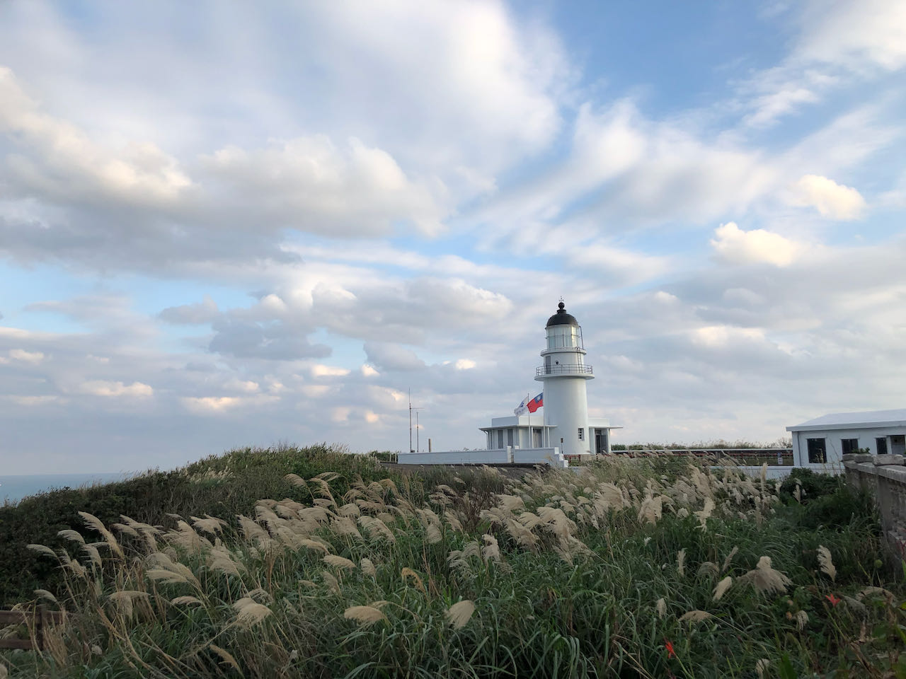
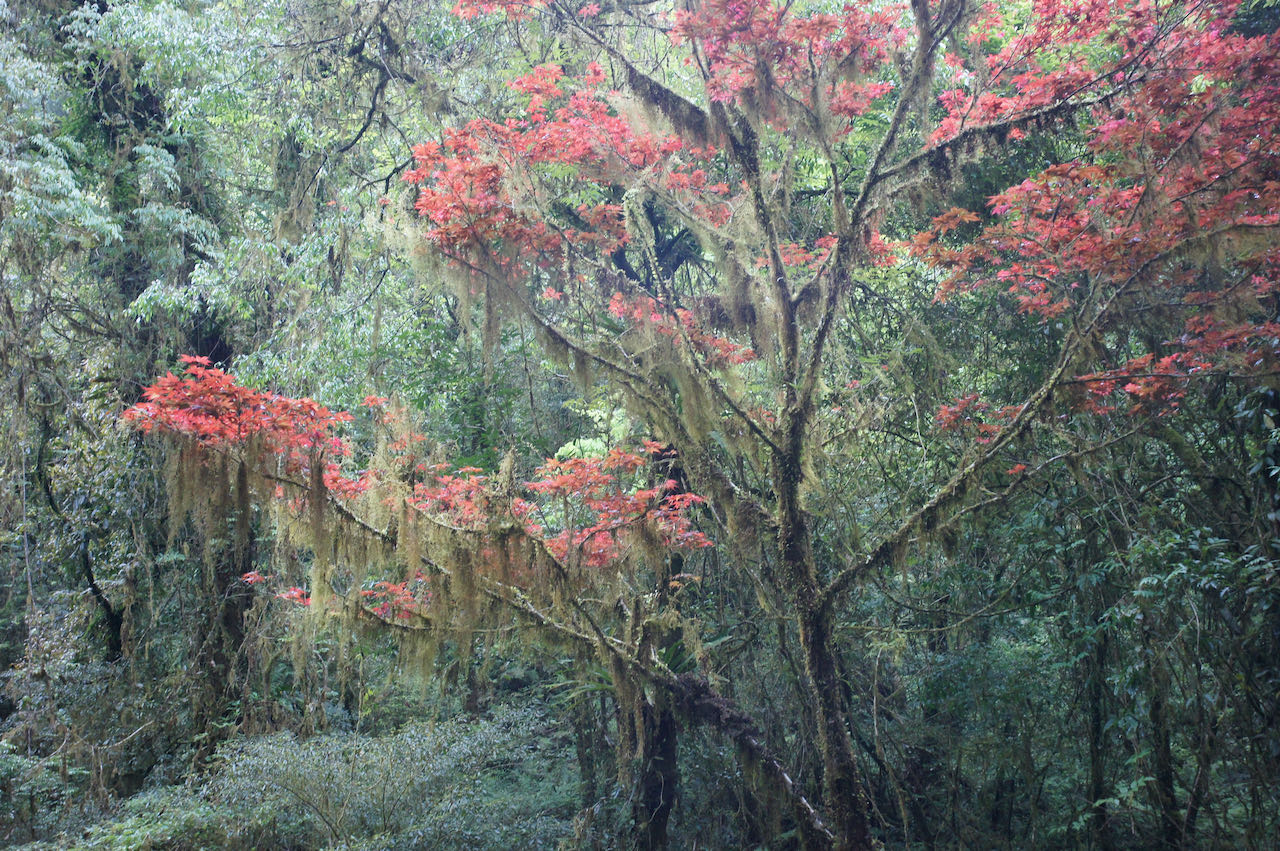
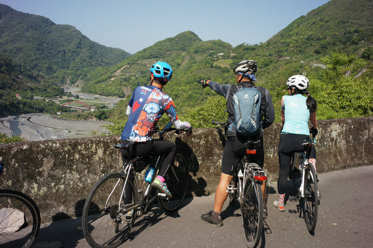
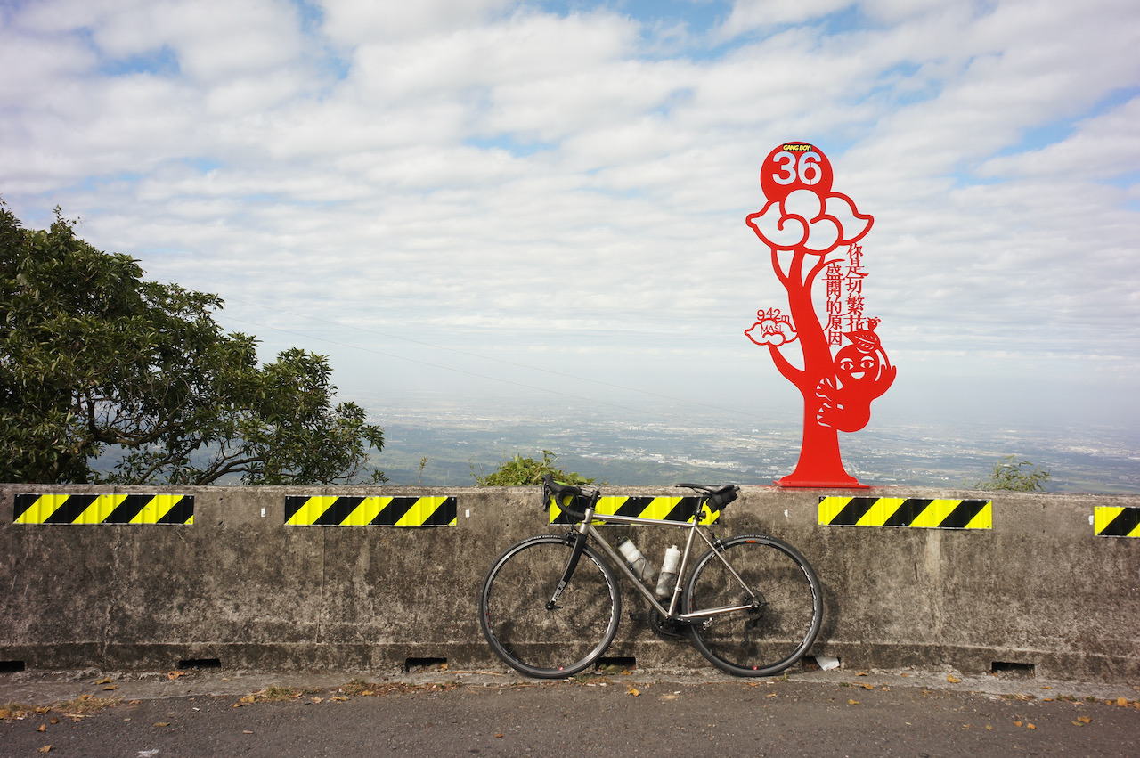
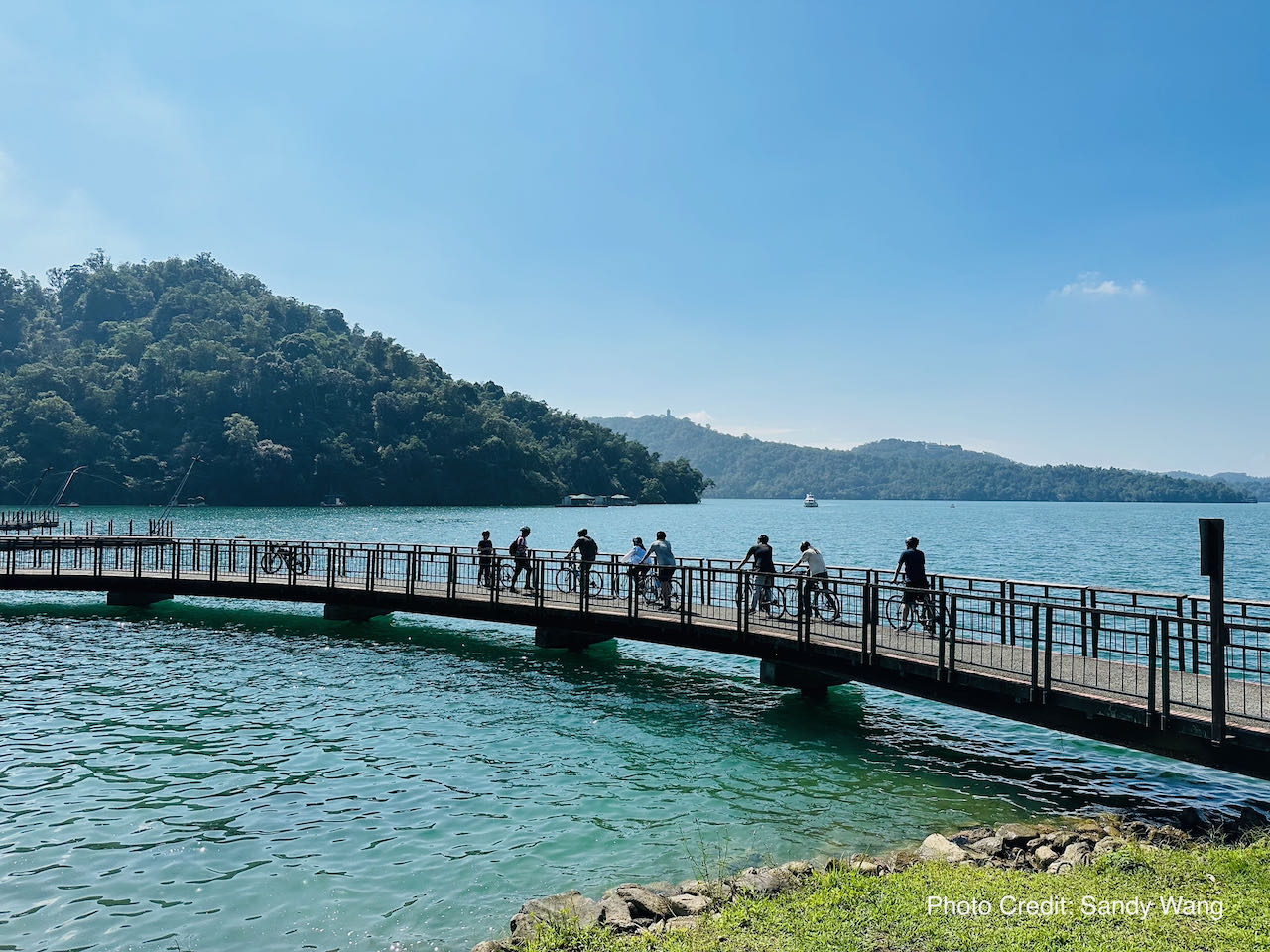
    Sun Moon Lake is one of the popular cycling destinations among enthusiasts and tourists in Taiwan. The lake, located in the central part of the country in Nantou County, is surrounded by picturesque landscapes and offers a scenic route that attracts cyclists from various parts of the world.

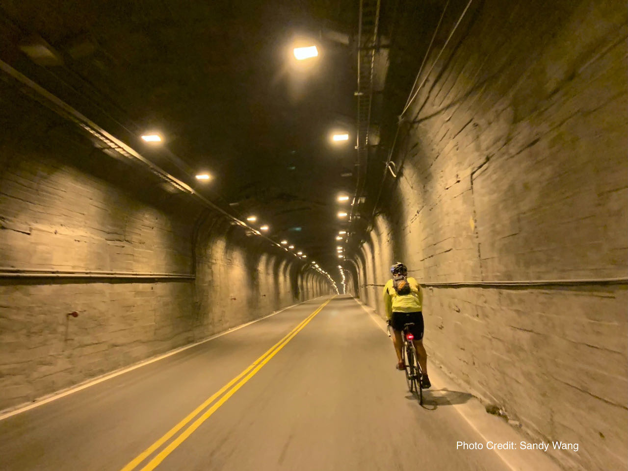
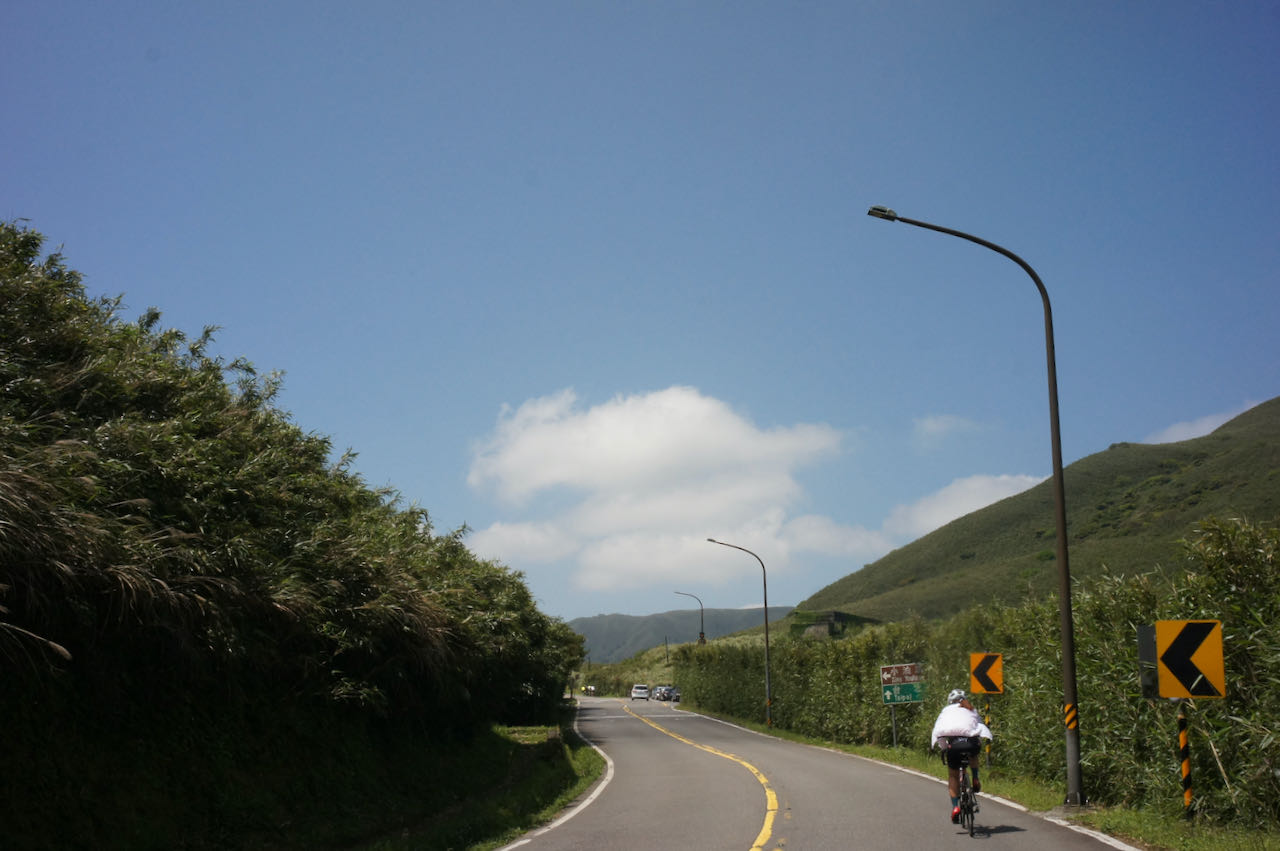
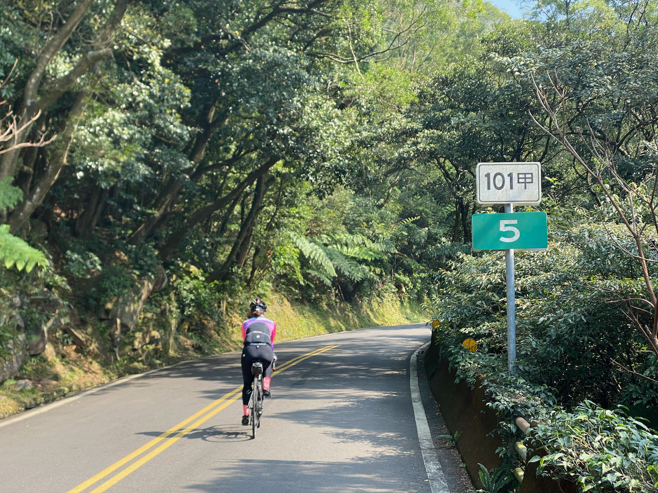
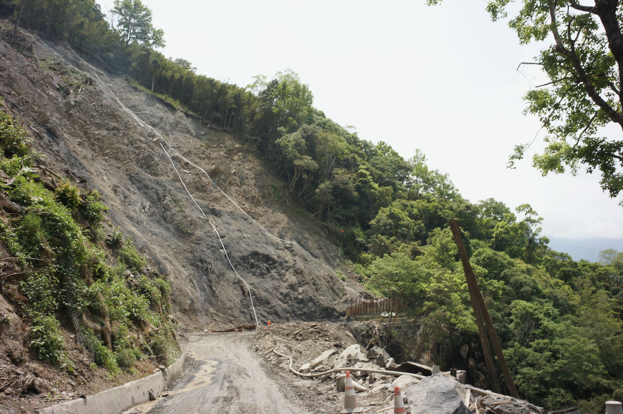
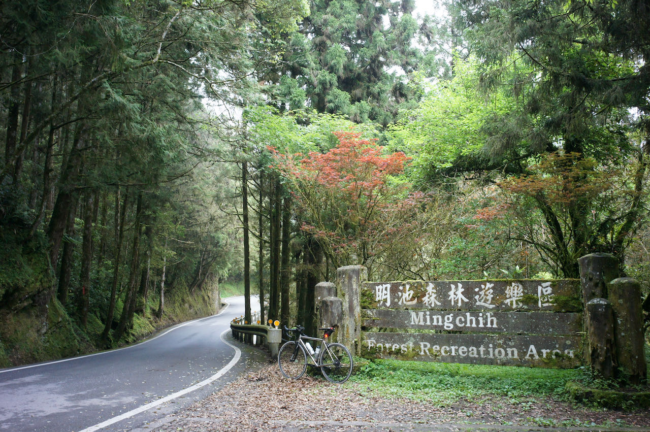
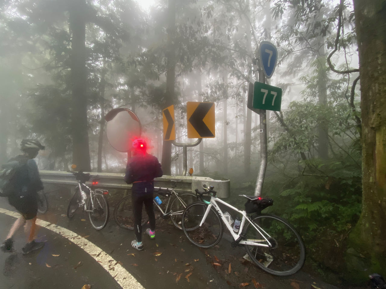
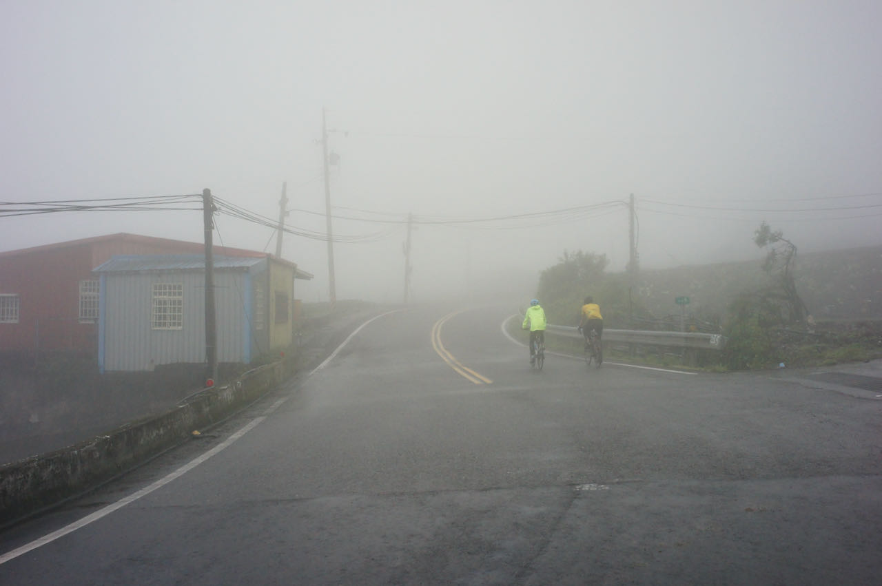
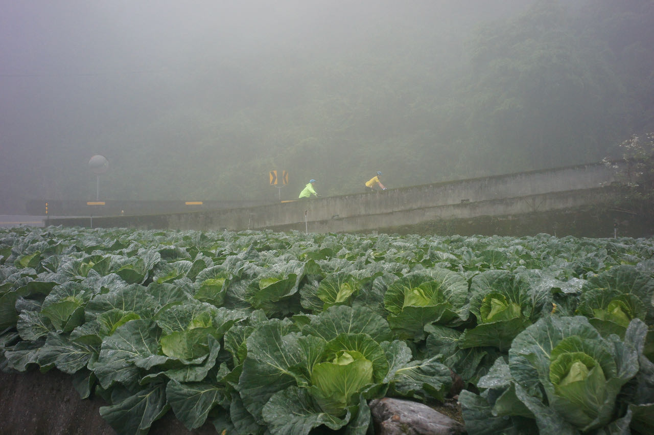
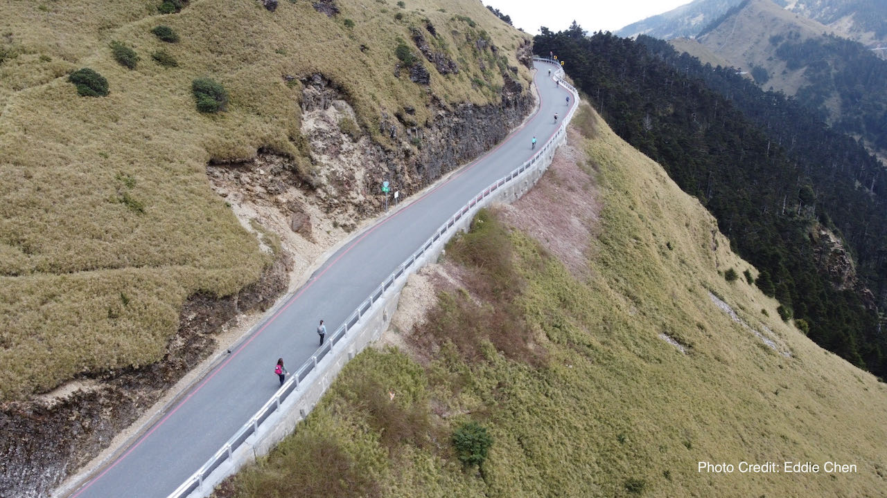
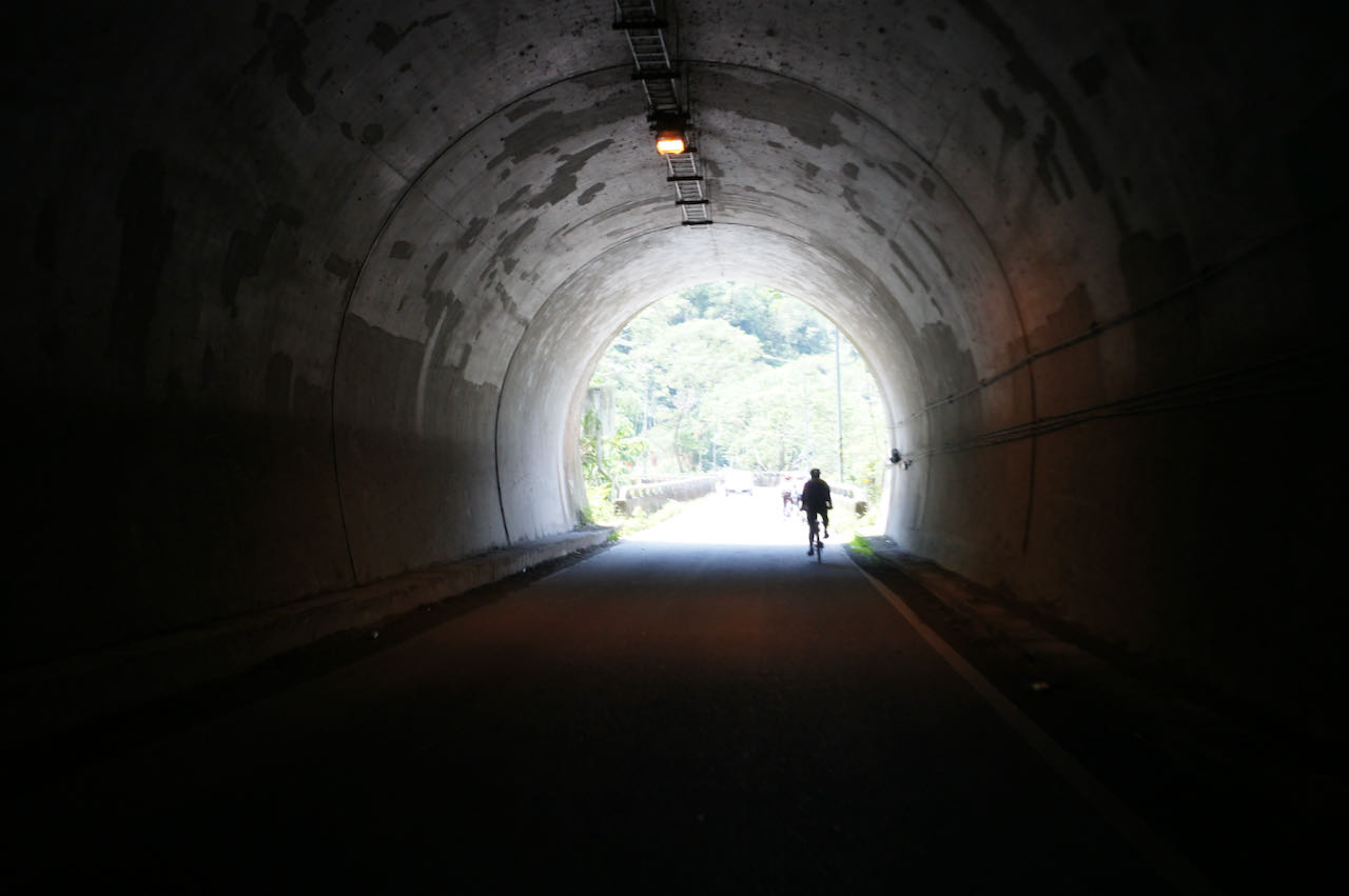
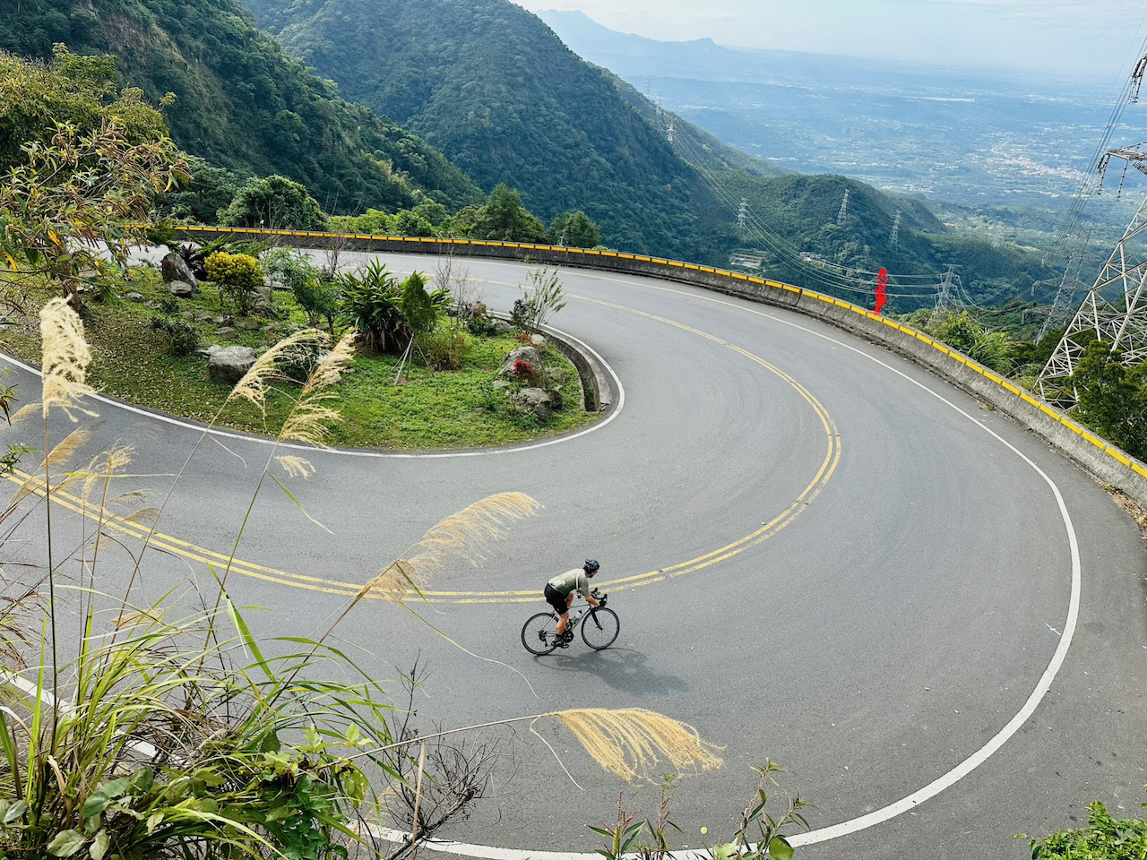
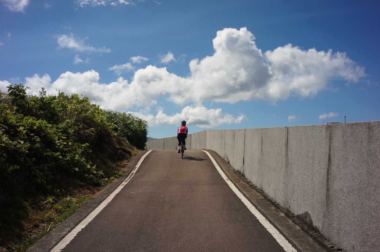
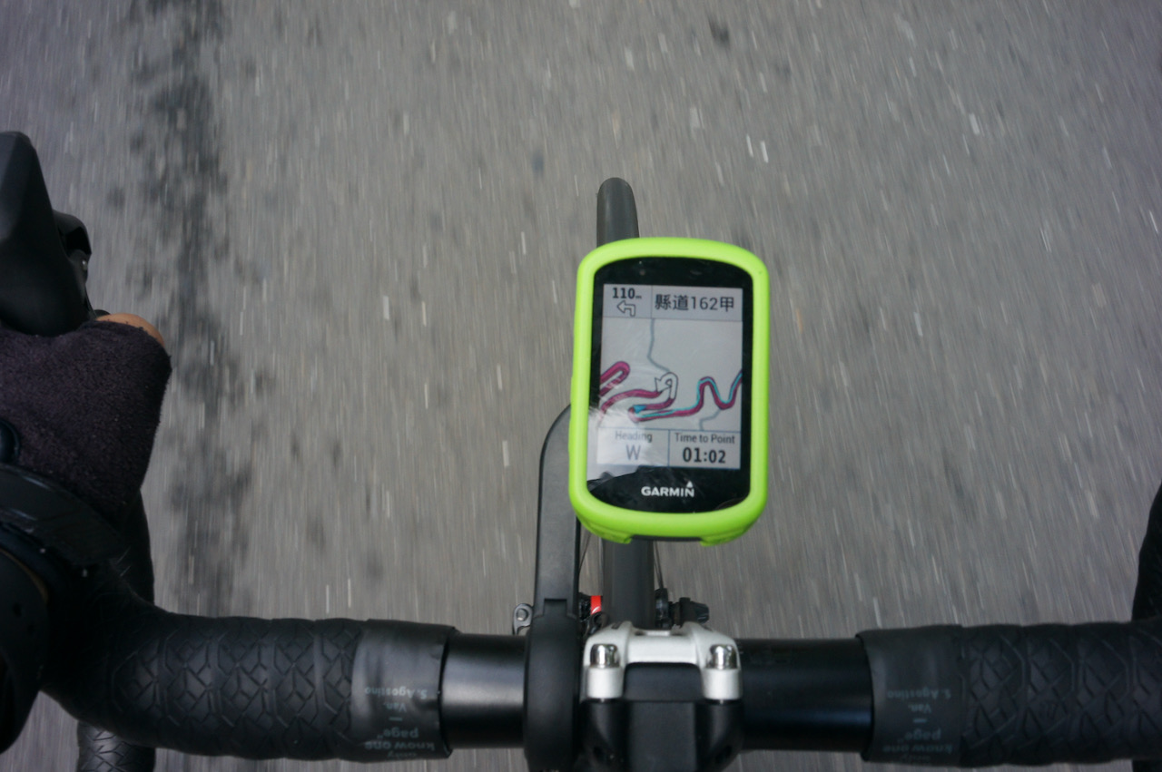
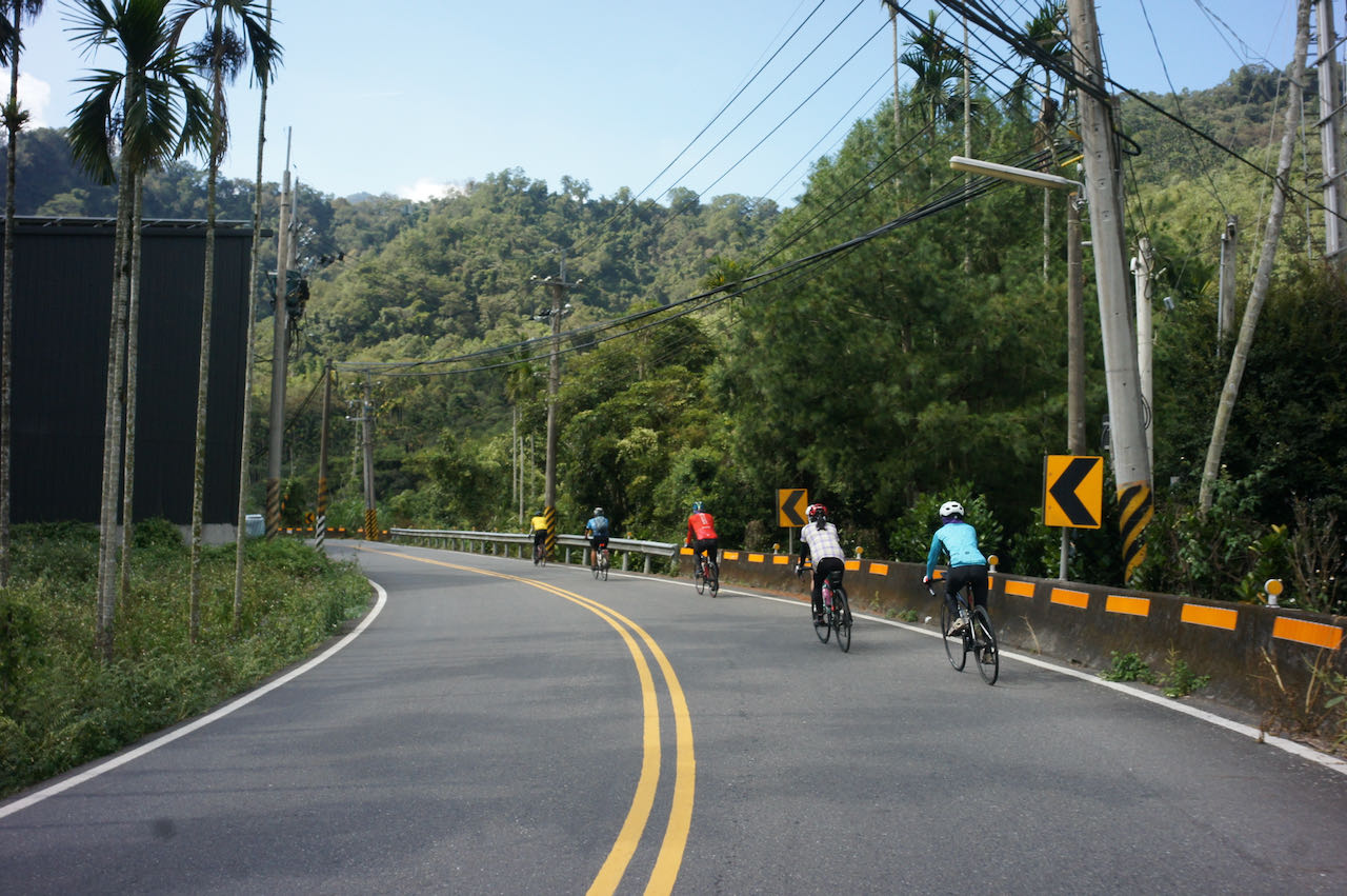
    There are various ways to cycle to Sun Moon Lake, including a detour from the Classic 9-Day Cycling Around Taiwan or taking a train to different train stations to start the ride. Here, I suggest several routes for you to consider. Given that most fellow cyclists would prefer routes with less traffic, I have chosen those routes along the small roads, mainly on the County Highways. These roads are enjoyable to cycle, but navigating them can be tricky in the dark. The road surface may deteriorate under unfavourable weather conditions. In such circumstances, please switch to the main roads, such as the Provincial Highways.

    Changhua to Sun Moon Lake

    Cycling from Changhua to Sun Moon Lake is one of the most popular routes, serving as a detour from the Classic 9-day Cycling Around Taiwan itinerary. On Day 2, we arrive at Changhua with the option to cycle to Sun Moon Lake or Chiayi the next day. The Official Cycle Route No. 1 (Day 3+1) suggests cycling mainly along Provincial Highway 14 and 21, which are well-maintained and the shortest with less climbing. However, some may find the road too busy, with heavy trucks, making it a rather unpleasant experience, especially after Caotun Township.

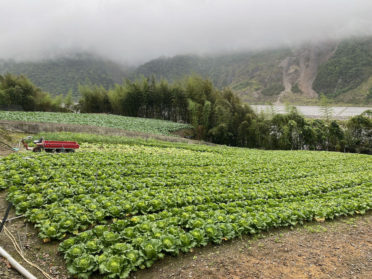
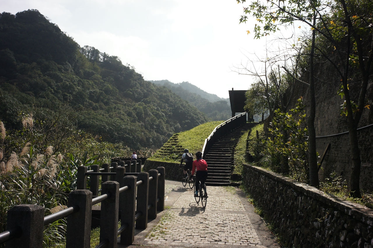
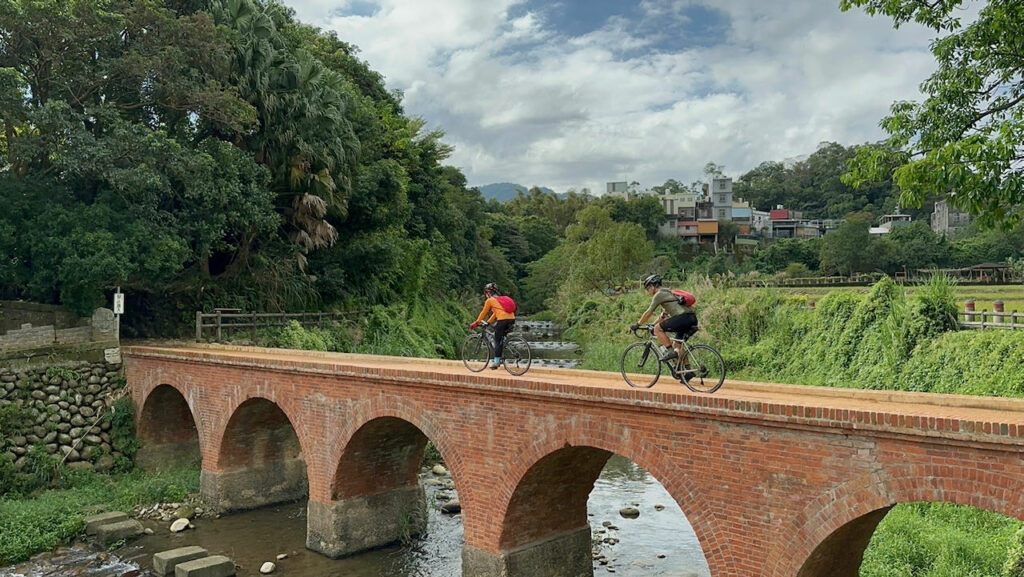
    So, here, I suggest an alternative route mainly on county highways. We start from Chunghua Station and soon cycle on County Highway 139, which is recognized as one of the most popular cycling routes in central Taiwan, according to a local cycling magazine. After County Highway 139, we would have covered one-third of the route, having cycled 33 km with a total ascent of 550 meters.

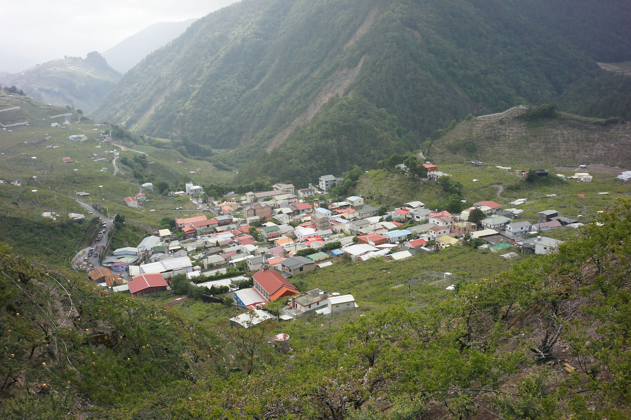
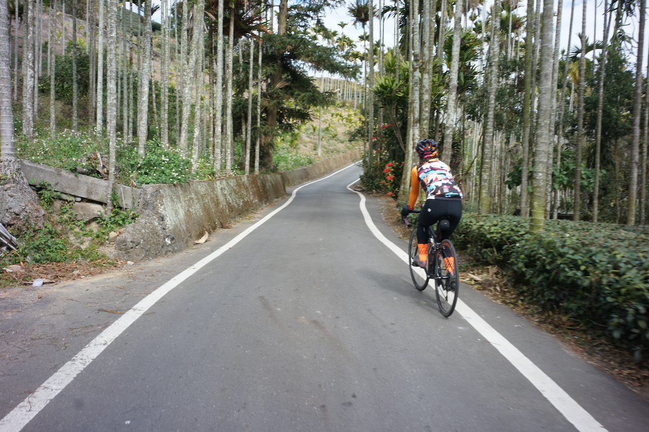
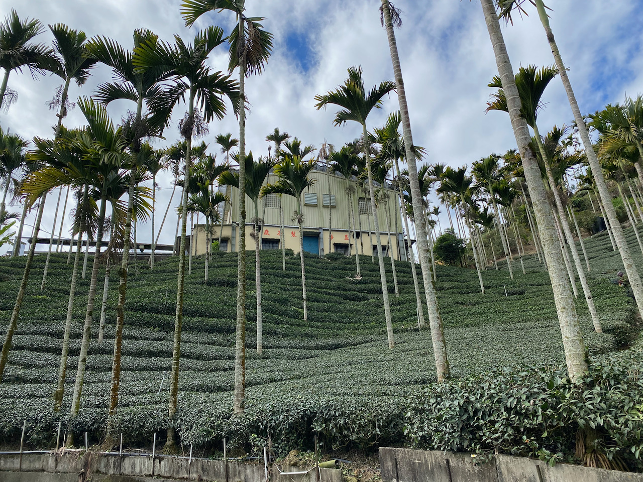
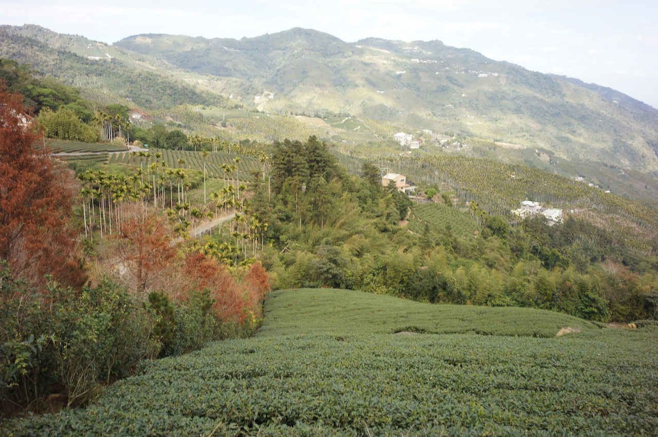
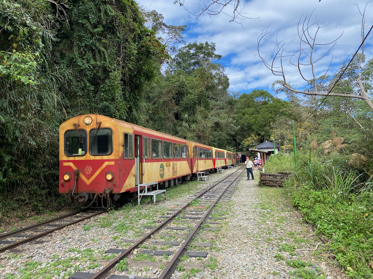
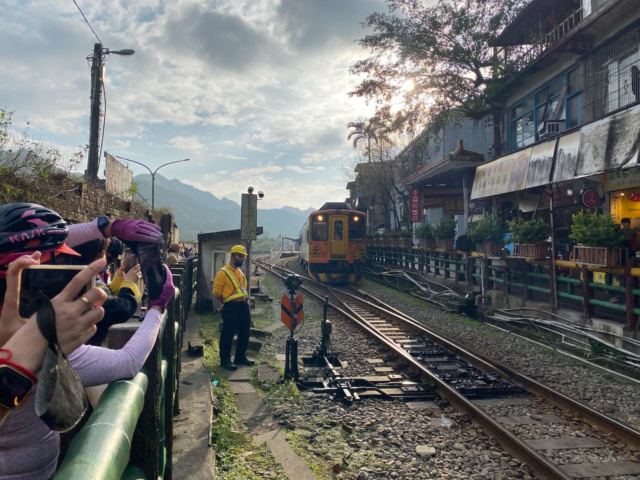
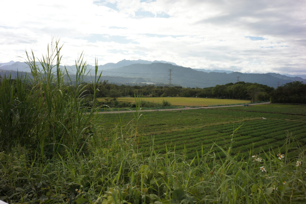
    The second third of the route is from Mingjian Township to Shuili, covering approximately 28 km with a total ascent of 310 meters. Mingjian Township is known for its numerous tea plantations. In Jiji Township, there is a small road that runs alongside the railways.

    The final leg to Sun Moon Lake on County Highway 131 is 21 km, with a total ascent of 523 meters, placing you on the northern side of the lake. If your hotel is closer to the other side, Provincial Highway 21 is also an alternative choice, covering a distance of 15 km with a total ascent of 582 meters.

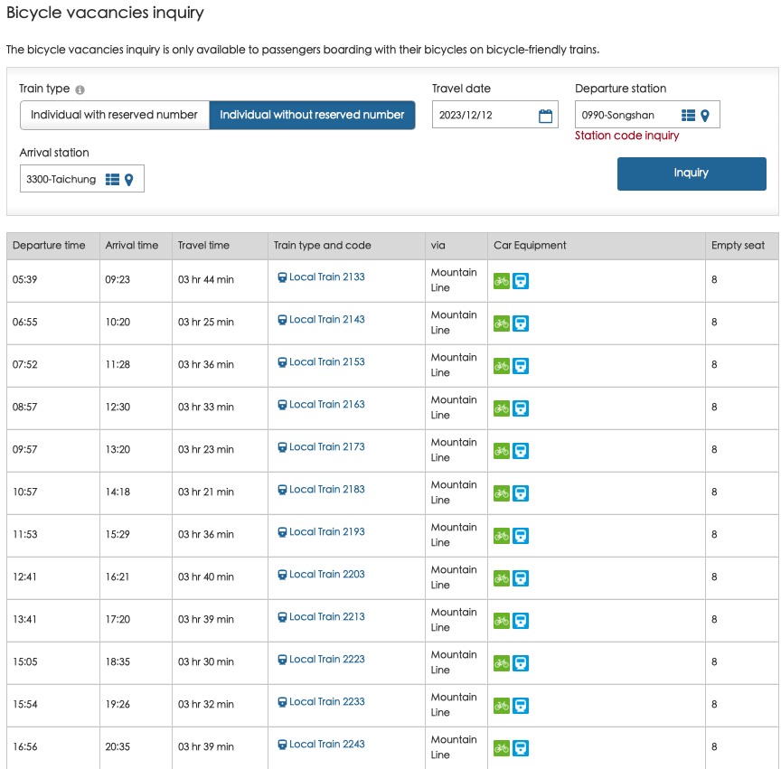
    In addition to incorporating this route into the around Taiwan itinerary, another option is to take a train directly to Changhua Station and start the ride from there. Here is a list of trains that accommodate unbagged bikes traveling from Songshan Station in Taipei to Changhua Station on a typical weekday. For details on checking train schedules for bikes, please refer to our blog post on how to ride with your bike on public transportation.

    Official Route Changhua to Sun Moon Lake

    Alternate Route 1 Changhua to Sun Moon Lake (Northern Side)

    Alternate Route 2 Changhua to Sun Moon Lake (Southern Side)

    Routes with Less Climbs

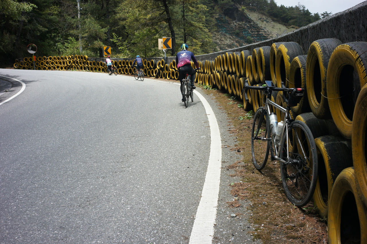
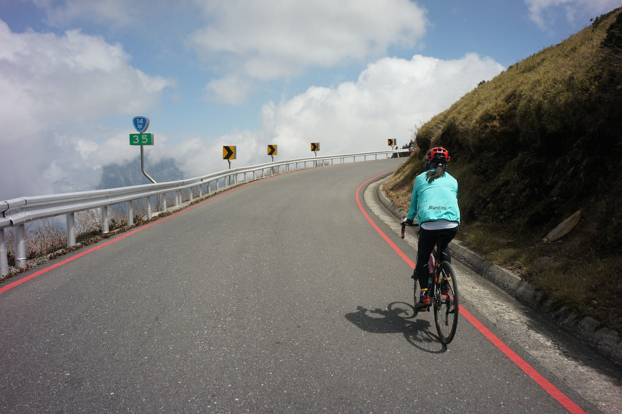
    The Alternate Route 1 and 2 from Changhua to Sun Moon Lake that I suggest includes more climbs (1,400 m ~ 1,435 m) than the official route (866 m). One of our customers chose the official route to avoid the climbs. She mentioned that while the first portion was nicer, there were significantly more trucks and cars passing by, with limited space on the road. 

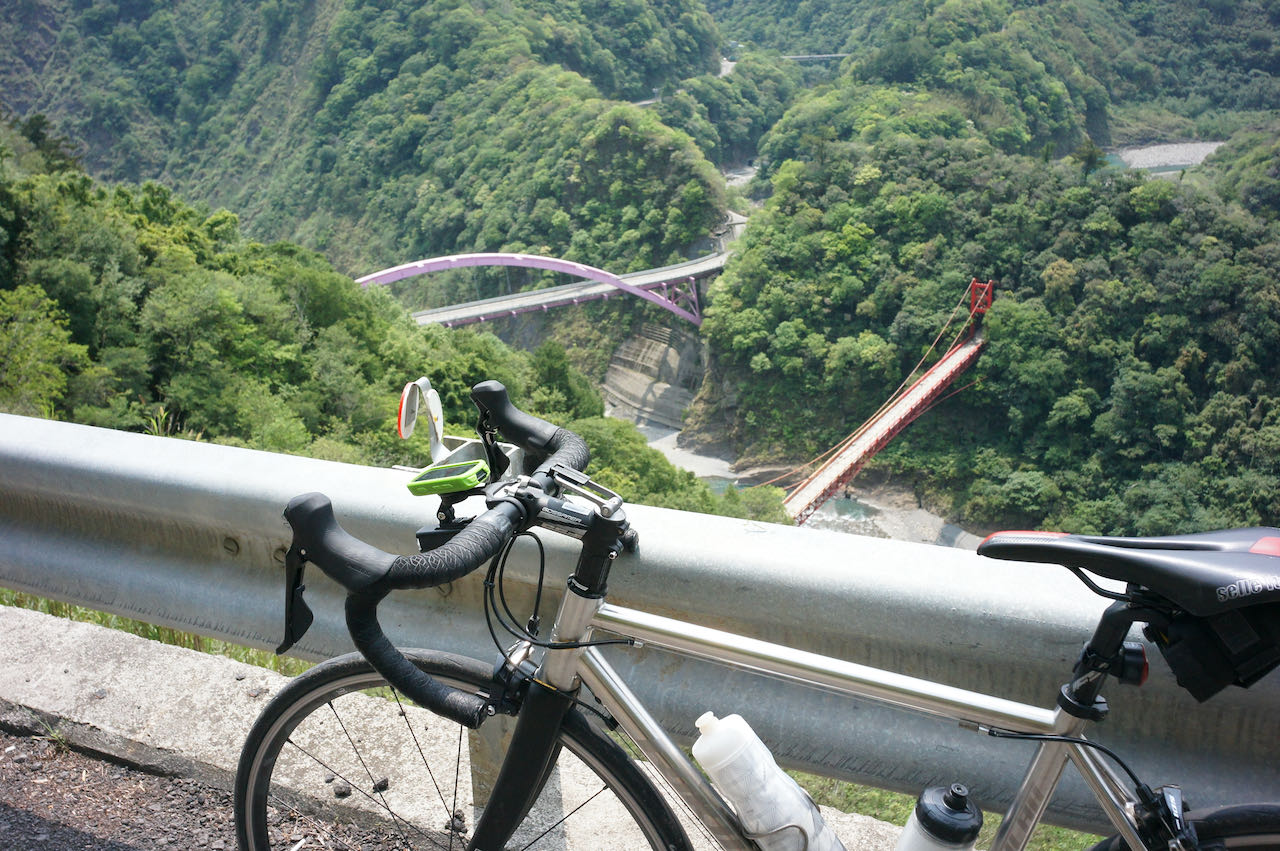
    I consulted Eddie Chen for another route with less climbing and lighter traffic. He suggested taking County Highway 137 from Changhua, followed by County Highway 152 to Jiji. From there, you can take County Highway to Shuili and reach the northern side of Sun Moon Lake via 投66. If your hotel is on the southern side of the lake, you can take Provincial Highway 21 after reaching Shuili. 

    By using these routes, we only need to climb 933 metres to 973 metres and can avoid heavy traffic.

    Changhua to Sun Moon Lake North – by Eddie Chen

    Changhua to Sun Moon Lake South – by Eddie Chen

    Sun Moon Lake to Chiayi

    After visiting Sun Moon Lake, Day 3+2 of the official Cycle Route No. 1 primarily follows Provincial Highways. This route is more direct and involves less climbing, offering a convenient and efficient option for cyclists. However, some riders may still prefer a quieter road, even if it means taking a longer route with more climbing. Here, I suggest this Alternate Route to get to Chiayi from Sun Moon Lake.

    Official Route Sun Moon Lake to Chiayi

    Alternate Route 1 Sun Moon Lake to Chiayi

    Taichung To Sun Moon Lake

    Taichung is another starting point for cycling to Sun Moon Lake, and you can also take a train to Taichung Station to commence your ride.

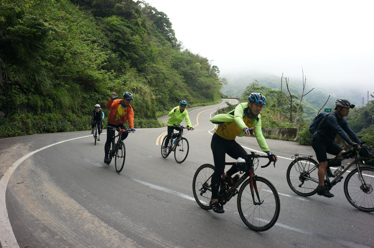
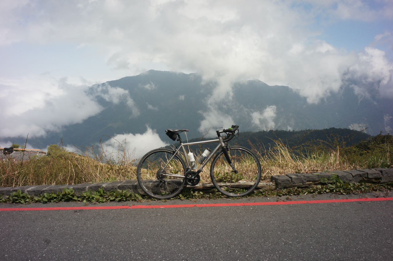
    Here, I suggest a route that follows county highways to Sun Moon Lake. This route includes three main climbs. The first climb is on County Highway 136, a popular training route for cyclists in Taichung, with a total ascent of 690 meters in 21 km. Most of the ascent occurs as we approach the top, making it progressively steeper.

    After descending 10 km to Guoxing Township, another climb on County Highway 147 is necessary, with a total ascent of 470 meters in 20 km.

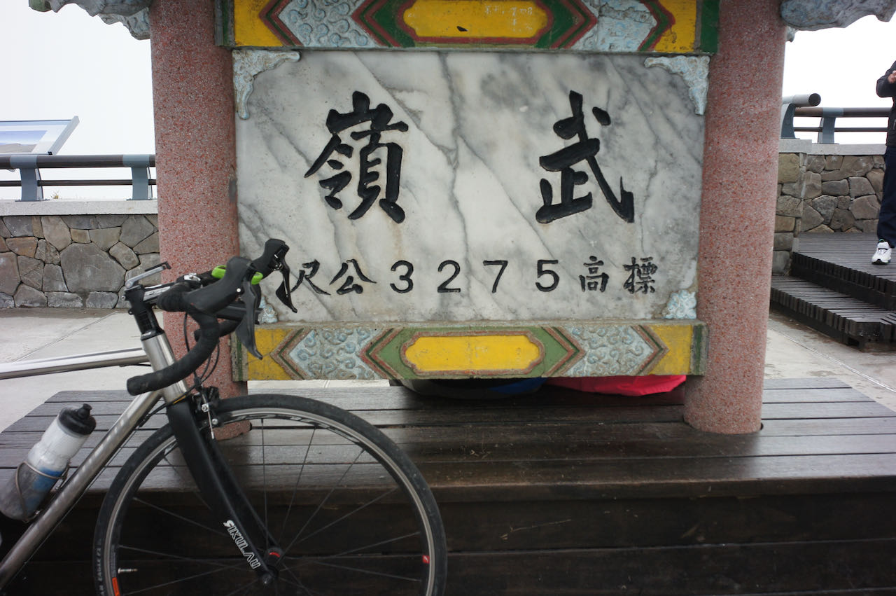
    Following a short descent, the final climb, mainly on County Highway 131, is shorter with a total ascent of 281 meters in 10 km. Upon completing these three climbs, you will find yourself on the northern side of the lake.

    If you prefer to take the train to Taichung from Taipei, here is the train schedule that accommodates unbagged bikes on a typical weekday from Songshan station in Taipei.

    Route:

    Ershui Station to Sun Moon Lake

    Ershui Station is the train station closest to Sun Moon Lake and is accessible with bicycles. While there is a Jiji Line connecting Ershui Station to Checheng Station, which is even closer to Sun Moon Lake, unbagged bikes are not allowed on this line. Although it is stated that bagged bikes are allowed, the smaller size of the train makes it impractical to board with your bike. Additionally, the segment from Jiji Station to Checheng Station was destroyed after a typhoon or earthquake in 2022. Passengers heading to Checheng Station need to transfer to buses after Jiji Station. Consequently, it is not advisable to travel with your bikes on the Jiji Line.

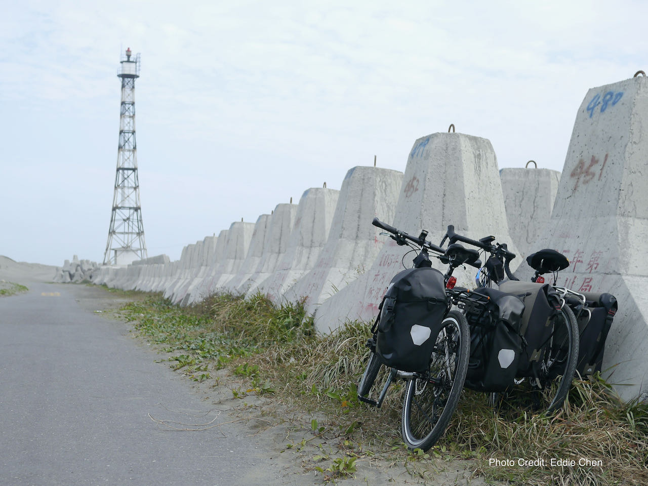
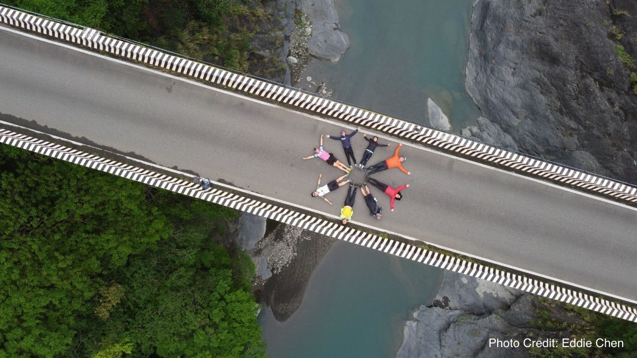
    Cyclist YouTuber Eddie Chen has documented his single-day trip from Ershui to Sun Moon Lake with his wife on his video, and this is the route he shared with us.

    Route:

    More Options

    Sending your Bike Beforehand

    Changhua Station and Ershui Station provide bike shipping services. You can utilize these services to send your bike to the respective stations, allowing you to collect your bikes upon arrival and commence your ride. Here is a list of stations with bike shipping services. Typically, it takes 1 to 2 days for the bike to reach its destination. Here is a full list of train station that have bike shipping service.

    Update in June 2025: Bike shipping service in Ershui Station is currently suspended due to construction work.

    High Speed Railway (HSR)

    If you find the train ride too long, you may consider taking the High-Speed Railway (HSR) to Taichung or Changhua. The HSR Taichung Station is just 8.5 km away from Taichung Train Station, and the HSR Changhua Station is 9.5 km from Ershui Station. While a train ride from Taipei to Taichung and Changhua takes 3.5 to 4.5 hours, the HSR takes around 1 hour. To board the HSR, it’s necessary to bag your bikes with two wheels off.

  • Cycle the Four Extremes Around Taiwan: Around-the-island for the Cycleholics

    Cycle the Four Extremes Around Taiwan: Around-the-island for the Cycleholics

    Cycle the Four Extremes Around Taiwan is a cycling challenge that involves reaching the four extremes – north, east, south and west – while circumnavigating the island. It is also known as ‘Da Huan Dao’, the big around-the-island.

    While Cycle Route No. 1 provides a clear 9-day route to experience various aspects of Taiwan by bike, there are numerous other routes to explore the entire island. Many fellow cyclists challenge themselves by cycling to the four extremes of Taiwan while circumnavigating the island. These four extremes encompass the northern, eastern, southern, and western corners of the island, each adorned with picturesque lighthouses that command expansive views of the surrounding oceans. 

    North Extreme: Fuguijiao Lighthouse 
    East Extreme: Sandiaojiao Lighthouse 
    South Extreme: Eluanbi Lighthouse 
    West Extreme: Guosheng Lighthouse 

    Because reaching the extreme points requires us to hug the coastline, this creates a larger loop to cover, essentially an extended version of the classic 9-day ride around Taiwan. This expanded route spans a total distance of 1,100 kilometers with an accumulated ascent of 4,650 meters. Along ‘Da Huan Dao’, the roads are typically less crowded, with lighter traffic, providing us with many opportunities for uninterrupted, exhilarating rides. If you relish the chance of cycling long distances without pause, this route is sure to offer a thrilling experience. 

    Here are the routes and the strategies to accomplish this feat.

    Strategies for Travelling Anti-Clockwise

    Routes

    This route can be ridden in both a clockwise or anti-clockwise direction. 

    I typically recommend riding it anti-clockwise because we drive on the right-hand side of the road in Taiwan (with the driver’s seat on the left-hand side of the car). When traveling clockwise, we’ll be on the lanes closer to the sea, allowing for smoother stops, as most points of interest are situated along the seaside.

    North Coast

    To start our trip, we can either cycle or take a short train ride to Keelung. From there, we’ll cycle westwards to visit Fuguijiao and and mark off the Fuguijao Lighthouse, the North Extreme, before heading south along the west coast. The western half of the north coast features some hilly terrain, but once we pass the Guandu Bridge and reach Bali, we’ll have a flat, straight route along the west coast for smooth riding. 

    West Coast

    During late autumn, winter, and early spring, a prevailing wind from the northeast can work to our advantage on the west coast. At times, with the assistance of these winds, I’ve reached speeds of over 40km/h easily. If you aim to allocate more time for exploring the east coast, it’s quite feasible to cover over 200 kilometers on the west coast in a single day. In fact, some exceptionally strong cyclists have even completed the journey from Fuguijiao Lighthouse (North Extreme) to Eluanbi Lighthouse (South Extreme) within 24 hours during the cycling event known as ‘Two Towers in One Day’.

    We don’t need to exhaust all our energy covering just two of the Extremes because we have four to visit. In between, our next stop is the West Extreme, Guosheng Lighthouse in Tainan. However, it’s crucial to note that this lighthouse is quite remote, situated on the edge of a vast, rural area filled with fish ponds and lacking street lamps. It’s essential not to venture there after dark, as navigation can be challenging, and there’s a risk of accidentally falling into the unlit fish ponds. Additionally, sometimes the road may be covered by a thick layer of sand brought by the wind.


    After visiting the West Extreme, we’ll encounter two major cities, Tainan and Kaohsiung. Tainan’s traffic can be busy, but there’s only one short section with some traffic lights as we cycle through the western fringe of the city. Navigating Kaohsiung can be a bit tricky as we need to pass through the city center. However, I’ve shared some valuable tips on making this part of the journey smoother in ‘The Classic 9-Day Cycling Around Taiwan’.

    Hengchun Peninsula

    While Cycling through the Hengchun Peninsula on our way to the South Extreme, we may encounter ‘downhill winds’ or ‘downslope wind’ as the mountain ranges come to an end here. The Prevailing wind that has been aiding us on the west coast will be disrupted by the lower hills, resulting in gusty winds from various directions. It’s essential to grip hour handlebars firmly and proceed with extra caution during this stretch. 

    Hengchun and Kenting are renowned as holiday paradisses, offering a plethora of accommodation options. After visiting the Eluanbi Lighthouse, if you opt to continue on County Highway 200, Manzhou Township provides another excellent stopover. Remember to stock up on supplies when you have the opportunity, as the availability of supply stops becomes sparse in this region. 

    Keep in mind that after visiting the South Extreme, we’ll be cycling against the winter winds, which can significantly reduce our speed. It’s crucial to plan our days conservatively. Beyond Manzhou Township, the next stop is 55 kilometers away, with an elevation gain of over 900 meters to Daren.

    East Coast 

    After arriving on the east coast, navigation becomes straightforward – head north, passing through various townships for resupplying along the way. Upon reaching Taitung, you can consider taking the coastal route on Provincial Highway 11, provided that wind isn’t excessively strong. On one occasion, Lois and I encountered fierce winds during a December ride. Even when descending from a hill after battling the wind on the climbing, we still had to pedal. Eventually, we had to climb over Provincial Highway 30 to return to the Rift Valley, where the Coastal Mountain Range offered some protection from the relentless gusts. The East Extreme is further north in the Gongliao District of New Taipei City, by cycling in the Rift Valley, we won’t miss it.

    Beyond Xincheng Station, you’ll encounter the Suhua Highway. In the Classic 9-Day Cycle Around Taiwan on Cycle Route No. 1, it’s suggested to skip this section by taking a train from Xincheng Station to Yilan due to the highway’s risks and challenging conditions. Please refer to the ‘Cycling the Suhua Highway’ post to decide on your approach.

    Yilan is a popular, bike-friendly county. However, beyond Tucheng, you’ll need to share Provincial Highway 2 with heavy trucks on weekdays for over 20 kilometers before reaching the East Extreme at Sandiaojiao Lighthouse. To visit the lighthouse, you’ll need to make a short, steep climb (90 meters ascent), which is undoubtedly worth the effort for the breathtaking views. 

    That concludes our anticlockwise journey around the Four Extremes of the Island. To return to Taipei, you can switch to Provincial Highway 2C (2丙) to avoid heavy truck traffic. Alternatively, you can stay on Provincial Highway 2 and visit one more lighthouse – Bitoujiao Lighthouse.

    After completing the Four Extremes Around Taiwan, your GPS tracker will have traced a sweet potato shape. You can then start planning your mountainous route to ‘slit the sweet potato’ during your next cycling adventure.

    Strategies for Travelling Clockwise

    Route:

    If your primary goal is to visit the Four Extremes without completing the full island journey, it’s advisable to consider a clockwise route, especially during the northeast prevailing wind seasons. 

    We can kick off the adventure by cycling to the North Extreme from Tamsui, which is conveniently connected to Taipei via the Riverside Bikeways. Once you’re on the bikeways, there are no motorized traffic and traffic lights to contend with. 

    The North Extreme and East Extreme are mere 85 kilometers apart, making it feasible to cover both corners in a single day if your time is limited. After reaching the East Extreme, during the winter season, the prevailing wind will propel us toward the South Extreme.

    From there, we’ll only need to cycle against the wind for the final leg from the South Extreme to the West Extreme, covering a 200-kilometer stretch on flat, wide roads with numerous supply stops. Once you’ve checked off the last Extreme, you can decide how far you want to continue cycling.

    Heading north to Taipei can be challenging during the north east prevailing wind seasons. My fellow cyclist friend, Eddie Chen, has done it this way with his wife back in 2017. He documented their adventure in this video (Chinese with English subtitles). Eddie shared with me that the west side of the island is a vast, flat land with little protection from the wind. Even if you cycle close to the hills, there are still crosswinds to contend with. He recommended sticking to Provincial Highway 19 or Provincial Highway 1, which offer a more inland route for more places to stopover. 

    The route I share on this post is plotted along Provincial Highway 1 because there is a railway running parallel to it. It’s easier to use a train that allows unbagged bikes onboard. There are other public transportation options for returning to Taipei with your bike. You can find details on How to Ride With Your Bike on Public Transportation in Taiwan.

  • Cycling the Suhua Highway: Evaluating Challenges, Experiences, and Factors to Consider

    Cycling the Suhua Highway: Evaluating Challenges, Experiences, and Factors to Consider

    Farewell to the section of Daqingshui to Horen (Provincial Highway 9D 64K to 69K)

    The 403 Earthquake in 2024 and the subsequent typhoons brought severe damage to the 5km section of Provincial Highway 9D (9丁) between Daqingshui (大清水) and Horen 和仁. The government announced in January 2026 that they won’t be repairing this section (Provincial Highway 9D 64K to 69K) anymore. all traffic is now redirected through Provincial Highway 9 between Daqingshui and Horen.

    To avoid the heavy traffic on Provincial Highway 9 and cycle only on Provincial Highway 9D, you may take a train to Heping Station, cycle to Nan’ao Station, and then take a train to Dong’ao Station to resume cycling from there.

    The Suhua Highway is a treacherous and narrow roadway that winds along the edge of a steep cliff, connecting Hualien to Yilan. It navigates through hilly terrain, featuring three major climbs and noisy tunnels. Cycling on this route is considerably more challenging compared to other sections of Cycle Route No. 1. As a result, it is often recommended to take the train with our bikes to bypass this segment.

    However, cycling on Suhua Highway offers stunning coastal views, challenging terrain, a sense of adventure, and a refreshing experience in nature. Some cyclists embrace the opportunity for the breathtaking views and the exhilarating experience of tackling the challenging terrain.

    We had customers wondering if they should do it. Here are my thoughts about whether to cycle on this part.

    Challenging: long with lots of climbing

    The Suhua Highway from Xincheng to Su’aoxin is not an easy one. We have 82 km to cover with several peaks to climb, resulting in a total ascent of 1,675m according to Garmin Connect. We need to estimate our strength and decide how challenging we want our day to be.

    Risks posed by Mother Nature

    There are also some risks involved in cycling on this route. First, the risk posed by mother nature. Landslides and falling rocks on the road, though not common, can occur, particularly after earthquakes, heavy rains, and typhoons.

    Risk posed by other vehicles

    Secondly, there is a risk posed by other road users such as heavy trucks, coaches, and cars. The road is narrow, leaving less space for those vehicles to overtake bicycles.

    Another challenge is cycling through the tunnels with those vehicles. Along the route, there are several narrow tunnels where the noises produced by heavy vehicles can be trapped inside, making it unpleasant to the ears.

    New Suhua Highway 

    The situation has improved after the Directorate General of Highways finished building the new Suhua Highway (Provincial Highway 9) in 2021. The new highway has diverted more traffic from the old one (Provincial Highway 9丁), making some of the sections more like a road exclusively for bikes. Which are shown on the map below in blue:

    • Daqingshui to Hezhong: 10.7km, Total Ascent 252m
    • Heping to Nanao: 25.9km, Total Ascent 453m
    • Dongao to Suaoxing: 18.84km, Total Ascent 420m

    Sections with Combined Traffics

    However, there are still some sections where the two highways merge and the traffic combine (shown on the map above in red). These sections are:

    • Xincheng to Daqinshui: 12.66km, Total Ascent 323m with 4 tunnels
      • 崇德隧道 (Chongde Tunnel): Length 325m, Width 7.5m
      • 匯德隧道 (Huide Tunnel): Length 1460m, Width 7.5m
      • 錦文隧道 (Jinwen Tunnel): Length 406m
      • 大清水隧道 (Daqingshui Tunnel): Length 521m, Width 7.5m
    • Hezhong to Heping: 3.63km, Total Ascent 24m
    • Nanao to Dongao: 10.94km, Total Ascent 275m with 1 tunnel
      • 新澳隧道 (Xinao Tunnel): Length 1267m, Two pipes (northbound pipe has two lanes)

    Update on January 2026: Since the Provincial Highway 9D between Daqinshui to Horen Station is severely damaged and there is no plan to repair it, the Overlapping Sections from Xincheng to Daqinshui is extended to Horen Station. The total distance from Xincheng to Horen Station is 15.6km, Total Ascent Estimated 300m (Data shown on Garmin route is exaggerated because the software failed to recognise the tunnel).

    Strategies and Tips

    If you are well-informed and decide to cycle on this part, here are some tips I would like to share with you:

    Cycle Only in Favorable Weather

    • Riding in poor weather conditions is both risky and unpleasant. Always choose to cycle when the weather is clear and stable.

    Be Mindful of Heavy Trucks

    • Although heavy trucks can be loud, their drivers are experienced and familiar with the route. They usually wait patiently for a safe opportunity to overtake cyclists. To make it easier for them, it’s best to ride in pairs rather than forming a long line, which can make overtaking more difficult.

    Cycling Northwards Is More Advantageous

    • Traveling northward (anti-clockwise around the island) offers several benefits. Most attractions are located on the sea side, and since Taiwan follows right-hand traffic, this direction allows for better coastal views without needing to cross the road. Additionally, it’s easier to spot falling rocks on this side.

    Plan Your Ride Timing Carefully

    • For Northbound Riders: Start early to pass through the four tunnels between Chongde and Daqingshui before traffic builds up. Beyond Daqingshui, most tunnels are located along the Old Suhua Highway (9丁 or 9D), where traffic is lighter. The final shared section of the new and old routes, from Nanao to Dongao, spans 11 km with a total ascent of 275 m and a 1.2 km tunnel. Assess your stamina, traffic conditions, weather, and time of day. If needed, you can take a train without bagging your bike to Dongao or Suaoxin.
    • For Southbound Riders: Start early to get through the Nanao–Dongao section before traffic increases.

    Use the Truck Drivers’ Lunch Break to Your Advantage

    • Between 12:00 and 1:00 pm, most truck drivers take their lunch break, leading to lighter traffic. Utilize this window to cycle through the busier sections more safely.

    Take the Train to Skip the Busy Sections

    If you only want to cycle on the best part of Suhua Highway (Provincial Highway 9D)  and skip those sections with heavy traffics, you can take a train from Xincheng Taoroko Station to Heping Station and then enjoy the  ride to Nan’ao Station on Provincial Highway  9D. Then take a train to Dong’ao Station and then ride all the way to Su’ao on Provincial Highway  9D. There are plenty of trains that allow you to push the bikes onboard after buying a ticket for your bike at half the adult fare. You can learn more about this from our blogpost on How to Ride with Your Bike on Public Transportation in Taiwan.

    Experience sharing from our customer

    Kevin, who did the around-the-island in September 2023, rode the Suhua Highway. He set off at 5:00 am from Xincheng and found the overlapping sections in Chongde very manageable in the early morning. When he reached Nan’ao around 10:00 am, there were heavy trucks. He said the heavy trucks usually came in waves. His strategy was to stop at the roadside to give way to the trucks first. Then he would have a window of about 10 minutes or so without the trucks. It would be long enough to cover a tunnel.

    During the Lunar New Year in 2026, JM and co. cycled north from Nan’ao and enjoyed favourable weather. They reported that the section from Nan’ao to Dong’ao was safe and wide enough for cycling, likely due to a reduced number of heavy trucks during the holiday. Furthermore, the route from Dong’ao to Su’ao was described as an “absolute dream for a cycler,” potentially ranking among the top ten cycling roads globally.

    Route – Xincheng (Taroko) Station to Su’aoxin Station

  • Five Cycling Routes to Explore Yangmingshan

    Five Cycling Routes to Explore Yangmingshan

    Yangmingshan National Park is one of Taiwan’s nine national parks, renowned for its volcanic terrain, breathtaking peaks, and tranquil lakes. The park offers a variety of hiking trails that allow visitors to explore and savour panoramic vistas, including the renowned Seven Star Mountain and the picturesque beauty of Xiaoyoukeng. Due to its elevation of over 800 metres, well-maintained roads, and convenient accessibility from Taipei, it has become a favoured destination for cycling enthusiasts.

    The nearest starting points to climb the mountain from Taipei are accessible via the Riverside Bikeways, which are Yangde Boulevard (Provincial Highway 2A or 2甲) and Zhishan Road, followed by Pingjing Street. Yangde Boulevard is a less steep and more easily navigable option, but it often experiences heavier traffic. To avoid inhaling exhaust fumes while pushing my lungs to their limits, I generally prefer not to choose this route for climbing, unless it’s early in the morning. Descending on Yangde Boulevard, however, is less physically demanding and can be completed relatively quickly. On the other hand, despite its steeper incline, I personally enjoy taking the Zhishan Road and Pingjing Street route the most, as encounters with cars are infrequent.

    If steepness is not your preference, County Highway 101 followed by County Highway 101A or 101甲 provides a more gentle approach. However, you need to get to Hongshulin to begin the climb. If you prefer not to ride there, you may take an MRT (Mass Rapid Transit) instead. The other two starting points, Jinshan District and Sanzhi District, are quite remote from the city centre.

    Here, I have plotted different routes with varying lengths and difficulties for you to choose from.

    Route 1: Ascend Pingjing Street, Descend Yangde Boulevard 36km 982m Total Ascent

    It’s a 17 km climb that takes you to Lengshuikeng Visitor Centre at 746 m where you can see the vegetation changes. Then the final kilometres on the Zhonghu Road of Armaments (中湖戰備道路) offer a captivating panoramic view with stunning vistas of the surrounding mountains. Upon reaching Xiaoyoukeng Visitor Center, you can take a short walk on a pleasant hiking trail to explore a volcanic steam vent area (fumaroles), provided you are comfortable leaving your bike unattended for an hour. If you have more time, you can take a detour to the Bamboo Lake where you can find many restaurants and flower farms. For the descent, you can take Yangde Boulevard to return to Taipei city. There is a smooth transition to get to the Riverside Bikeways that connect to the other area of the city.

    This is a flexible route. If you wish to shorten your ride before completing the climb, there are several shortcuts available that can take you directly to Yangde Boulevard.

    Routes:

    NOTE: To use the routes, please install the App on your smartphone. The App will launch and load the route automatically after you tap the above links on your smartphone’s browser. For Garmin Connect, you can then use the APP to send the route to your garmin device. If your Garmin device is not purchased in Taiwan, you will also need make sure you have the Taiwan map on your device. Here is our blog post on this topic.

    Route 2: Ascend Pingjing Street, Descend Balaka Highway (County Highway 101A or 101甲)  48 km 1267 m Total Ascent

    The climbing is the same as Route 1. However when you reach Erziping Visitor Center, you have the option to continue climbing towards the Mount Datun Air Navigation Station. This segment spans 2.36km with a total ascent of 247 m, resulting in an average gradient of over 11%. I recommend attempting this climb only under favourable weather conditions. 

    Descending on Balaka Highway (101A or 101甲) is a fun and thrilling experience due to ideal level of steepness. It’s a quiet road, but please remember not to assume sole ownership of it  as occasional cars may pass by. On County Highway 101, you’ll come across Wuji Tianyuan Temple, distinguished by its building that resembles an umbrella. The temple boasts a beautiful cherry blossom garden, which is worth visiting during the appropriate season, typically around March and April. 

    At the end of the descent, you will find yourself in Tamsui, an area with numerous tourist attractions. Among my favourites are the Hobe Fort and Fort San Domingo.

    From there, you have the option to cycle back to Taipei using the Riverside Bikeways or simply take the MRT from Hongshulin Station

    As I mentioned earlier, Balaka Highway (101A or 101甲) is less steep to climb. Therefore,  this route is equally enjoyable when done in reservse.

    Routes:

    Route 3: Ascend Pingjing Street, Descend Yangjin Road (Provincial Highway 2A or 2甲), Ascend again to Fenguizui 74km 1597 m Total ascent

    This route features two climbs. The first climb follows the same route as Route 1. By descending to Jinshan District, you will reach the picturesque north coast. The Yehliu Geopark offers a plethora of fascinating orange rock formations to explore. Afterward, you can resupply and embark on your climb back to Taipei via Fengguizui (600 m), following the suggested route. 

    Alternatively, you may cycle to Keelung through the Waimushan Seaside Scenic Area followed by a comparably flat route on Provincial Highway 5 to get back to Taipei. Yehliu to Keelung is a refreshing route to cycle. The Keelung to Taipei leg has nothing to boast of. Sometimes, I prefer to take the train from Keelung back to Taipei, alighting at Nangan, Songshan or Wanhua station. Normally, before 15:30 each day, there are 1 to 2 trains every hour that accommodate unbagged bikes. After 15:30, you’ll need to wait until 18:16.  For more details about taking trains with you bikes, refer to the provided link here

    Routes:

    Route 4: Ascend Pingjing Street, Descend to Jinshan, Ascend again on County Highway 101 and Balaka 96 km 1985 m Total Ascent

    This route features two climbs on Yangmingshan. The first half of this route is the same as Route 3, but we would head west after descending to Jinshan District and cycle along the invigorating and magnificent north coast. On weekends, you can find cafe trucks near Jhungjiao Bay. The Fugui Cape Park,  situated on the northern tip of Taiwan’s main island, presents a pristine lighthouse and is an idyllic place to visit. After a short ride from Fugui Cape, there is a popular sticky rice dumpling restaurant that provides a delicious calorie boost at a very reasonable price. The final climb begins at Sanzhi District, where you can restock your supplies. At the junction of County Highway 101 and 101A (or 101甲), there is a convenience store for further provisions before reaching the top. As you finish descending on Yangde Boulevard and check your Strava, you’ll notice you have traced a big fist on the map. Therefore, I suggest we name it the Budha’s Fist as the 5th Route is referred to as the Budhda’s Palm, a route that deserves a dedicated post

    If you don’t want to make the 2nd climb, you can simply cycle straight to Tamsui and return to Taipei. The route is a little hilly but the total ascent is smaller. 

    Routes:

    After cycling these 5 routes, there is still much more to explore within Yangmingshan National Park. The roads are well-maintained, offering numerous interesting stops along the way. Feel free to plan your own route and embark on further exploration, but it’s important to be prepared as weather conditions can change dramatically. We’ve had fellow cyclists who experienced difficulties descending from the top due to rain rapidly draining their body heat, which can lead to hypothermia. In such cases, they had to resort to hiring a van for transportation back. Stay cautious and enjoy your explorations!

  • How to Prepare Your Garmin Device for Navigation in Taiwan

    How to Prepare Your Garmin Device for Navigation in Taiwan

    If you have the latest models of the Edge series, including 1050, 1040 or 840, and the latest firmware, you will be able to download a map of your choice directly to the device, without needing a computer. You only have to follow the procedures in this post if you have older models.

    Garmin devices are preloaded only with maps of your country. If you plan to use your Garmin device for navigation overseas, you will need to load the maps of the foreign country onto your device beforehand. Otherwise, you will only see a blank screen or a single line on your display.

    According to this web page of Garmin, if you own one of the Edge® 540/840/1040 Series devices, you don’t need to purchase maps separately. You can utilize Garmin Express, a computer software tool, to perform free map swaps and load them onto your device.

    For other series, purchasing the map at USD 19.99 is required. However, even if you are willing to pay for the map, you might not find the map of Taiwan available for purchase on Garmin’s website. Thankfully, there are alternatives: OpenStreetMap and BBBike Extract Services. The process is straightforward. Simply visit this website, https://garmin3.bbbike.org/, and follow the instructions to download your desired maps. Unzip the file and copy the “gmapsupp.img” file to the “Garmin” folder on your Garmin device. If you need to download maps of multiple areas, you can rename the file, such as “gmapsupp_Taiwan.img”. When you power up the device, the map will be automatically loaded. There are various formats available, and you can find details about the formats on this link, https://garmin3.bbbike.org/garmin.html. I wanted to use UTF-8, but my Garmin EDGE 530 only supports Latin1.

    To double check that the map of Taiwan is properly loaded on your Garmin device, you can send one of our routes to your device and check if the map displays the details correctly. If the map is loaded properly, the route on your device should appear as shown in the picture below.

    Step by Step Guide to Download the OSM for Garmin devices (e.g. EDGE 530)

    • On your computer’s browser, navigate to the website: https://garmin3.bbbike.org/. This website allows you to extract data from OpenStreetMap and package it in your preferred format for Garmin devices.
    • Once you’re on the website, you’ll see various format options. Look for the “Format” section and select “Garmin Openfietsmap Lite (latin1)”.
    • Click on search and key in “Taiwan” to jump to the Taiwan section
    • Fill in your email address and click the button “here”. An orange box will appear on the map.
    • Click on the orange box. Two small circles will appear. Use the one inside the box to move it and the one on the right bottom corner to resize the box.
    • Hit Extract and the page below will appear.
    • Click on the link  “service status” page
    • The “Taiwan” is being generated. Enable the auto refresh and wait until the download link is available.
    • Click on the “Download” to download the map.
    • Unzipped the downloaded file. For MacOS computers, the file is unzipped automatically
    • Connect your Garmin Device, say Edge 530, to your computer. It will become a USB drive of the computer
    • Copy the file named gmapsupp.img to the folder “Garmin” of the USB Drive. (i.e. Garmin Edge 530)
    • Eject the USB drive from your computer and then disconnect the USB cable.
    • When the Garmin Edge 530 powers up,  it will use the map automatically.
    • Feel free to make some donations to OpenStreetMap and BBBike.org

  • Slit the Sweet Potato – Cycle Through Taiwan’s Mountainous Splendor (1)

    Slit the Sweet Potato – Cycle Through Taiwan’s Mountainous Splendor (1)

    The main island of Taiwan is shaped like a sweet potato, with a length of 394 km and width 144 km. On this small island, there are 274 peaks higher than 3000 metres above sea level. These peaks are located mainly on the centre and east side of the island, primarily in the Alishan Range 阿里山山脈, Central Mountain Range 中央山脈, Xueshan Range 雪山山脈 and Yushan Range 玉山山脈. Only 26% of the island is flat, mostly found on the west coast. 

    In the mountains, there are well maintained roads connecting the indigenous tribes and farms. Despite the frequent landslides triggered by typhoons, heavy rainfalls, and earthquakes resulting in the destruction and blockades of some of the roads, they are fixed quickly. If it takes longer, there will be traffic controls.

    When I first learned that Eddie Chen, a famous cycling writer, Vlogger and the founder of Trekking Taiwan, started a project in 2019 to cycle and document his trips of “Wuling Pass from the North towards Eluanbi – a 500-mile cross-country ride in Taiwan” 北進武嶺南出鵝鑾鼻,縱斷台灣五百哩 – from Fuguijiao 富貴角, the northern tip of the island to Eluanbi 鵝鑾鼻, the southern tip via the mountain ranges, my mind was blown. It is so daring and so ambitious. Yet it is so enticing for all cycling enthusiasts. Altitude gains are not avoided. You just cycle through the mountains with brute force like slitting the sweet potato 剖地瓜. The total distance covered is 760 km, with a total ascent of 26,087 metres and the highest elevation at Wuling Pass 武嶺 at 3,275 m.

    Eventually, in April 2023, I joined one of the 5-day cycling tours guided by Eddie to do the first half of this route, and here I share my experience. I hope it is going to help our fellow cyclists planning their routes.

    Day 1 Fuguijiao Lighthouse to Jiaobanshan (Distance 109 km, Total Ascent 1,789 m)

    We met up at Songshan Train Station at 6:00 am and hopped on our support car to get to Fuguijiao, the starting point. Those who want to do it by themselves without a support car can stay at the small hotels nearby in Baishawan 白沙灣 or Sanzhi District 三芝區 the night before. 

    The lighthouse was charming as usual but the weather was not particularly promising. It rained as we started our climb. The fog got thicker as we got closer to the top of Yangmingshan 陽明山. It was my first time on this volcano in such weather conditions. Dirt stuck on my bike’s rims and made some unpleasant grinding noise as I hit the brake, especially on the steep descending. I have a decent robust aluminium wheelset, but I was worrying about the pads. They might not make it if we were going to have five days of long, steep descents in wet conditions like this, even though they were thick. During the lunch break, one of our team members found her brake pads worn to the limit. As we cycled past Taipei city, we bought some more spares just in case.

    We called it a day at Dadaocheng Pier Plaza 大稻埕碼頭廣場 at 4:00 pm by hopping on our support car to get to Jiaobanshan 角板山. Dinner was booked at 6:00 pm there. The restaurant opened that day just for us. Soon the traffic would get busy. We did not want to keep them waiting. 

    Route

    NOTE: To use the routes, please install the App on your smartphone. The App will launch and load the route automatically after you tap the above links on your smartphone’s browser. For Garmin Connect, you can then use the APP to send the route to your garmin device. If your Garmin device is not purchased in Taiwan, you will also need make sure you have the Taiwan map on your device. Here is our blog post on this topic.

    Day 2 Jiaobanshan to Datong District of Yilan (Distance 86 km, Total Ascent 1,930 m)

    This was mainly my favourite Northern Cross-Island Highway 北橫公路. We have a traffic control beyond Baling 巴陵 on Provincial Highway 7 at 49.7k with only two windows to pass each day, ie., 11:00 – 12:00 and 16:00 – 17:00. Our support car brought us closer to make sure we could make it there before it was closed. Eddie made good use of the car and brought us to a bridge in a serene valley before we started cycling. Richard, an avid cyclist from Singapore who started the popular cycling group Cycling SG to Malaysia, suggested we all lay down in a circle for Eddie to take such a stunning picture.

    Weather was so nice. Everyone enjoyed cycling on such a beautiful winding road. But there were some hazards that we should be aware of. I saw signs showing the sections where falling rocks are prone to happen. In fact, some stones were spotted on the road surface. Eddie said whenever we hear some falling rocks, we should run away immediately as it could be the prelude of some larger rocks coming. 

    I totally appreciated how vulnerable we could be in the mountains when I was passing the traffic control spot. A large area of green vegetation was peeled off in a landslide exposing an unstable muddy slope. Even after months of work by the road construction workers, the road was still not recognizable. I had to get off my bike and push it through the muddy surface. I raised my camera without slowing my pace to take some snapshots but immediately got yelled at by a worker. I was supposed to pass the section as quickly as I could without doing anything else. Rocks could fall anytime. No hard feelings. My bad.

    The Northern Cross-Island Highway beyond Baling after the traffic control was so comfortable to ride. The slope was mild, and there was hardly any traffic. It was magical that there were strange interesting plants along the way.  We soon reached the last peak of the day at Mingchi National Forest Recreation Area 明池國家森林遊樂區 around 14:30, and the Northern Cross-Island Highway had led us into a deep, tranquil forest. The resort here makes a great place for a stay over or a long retreat. 

    The fog got slowly thicker as we were descending into the east side of the mountain. The humidity from the Pacific Ocean, carried by the prevailing wind, was forced to creep up the slope and condensed to form mist at this altitude where temperature was cooler. At some point I could only follow the white paint on the road side in front of my wheel to proceed. The sight of my team was long gone. My wheels were gathering water and dirt from the road and grinding with the braking pads again. As more dirt accumulated on the braking area, the noise got creepily louder. I released the brake a bit to let go of the dirt and then hit the brake again. The noise would then slowly build up again. I was glad that I bought some spare braking pads.

    I saw a red flag flying, which turned out to be a team of road maintenance workers. I was not sure what they were doing, but I really respect their hard work under such poor working conditions. With hindsight, the whole experience was so beautiful in a surreal way. 

    We gathered at the 77K of Provincial Highway 7 and got in the support car to get to a farm moonlighting as a B&B to stay over. Meeting my team and getting in the car was like waking up from a dream in a wonderland. It is said that there are steeper and wetter descents ahead before reaching the Baitao Bridge 百韜橋. Those who want to make the descent all by themselves should note that.

    Route

    NOTE: To use the routes, please install the App on your smartphone. The App will launch and load the route automatically after you tap the above links on your smartphone’s browser. For Garmin Connect, you can then use the APP to send the route to your garmin device. If your Garmin device is not purchased in Taiwan, you will also need make sure you have the Taiwan map on your device. Here is our blog post on this topic.

    Day 3 Datong, Yilan to Lishan  (Distance 61 km, Total Ascent 2,085 m)

    It was a long, steady climb along the Provincial Highway 7A to Lishan. As we gained  altitude, we were in the dreamy wonderland of fog once again. Today, I could relax mentally and enjoy the experience as climbing requires less focus than descending. 

    There were rows of cabbages growing on the fields on both sides. These white vegetables are ubiquitous in restaurants and on dinner tables in Taiwan, our daily staple. Among the several Atayal Tribes 泰雅族 along the main road, the Nanshan Settlement 南山部落 was the most important supply stop. There are two convenience stores and a gas station. Eddie and our driver loaded up lunches there for us to consume after some more climbing to the Siyuan Pass 思源埡口 (or formerly known as Piyanan Saddle 匹亞南鞍部), a mountain pass transferring from the Central Mountain Range to the Xueshan Range.

    It was cold once we stopped at the Siyuan Pass for lunch. I had to put on all my clothes including a polar fleece sweater, a light down jacket and a wind-stopping jacket. Humidity and thin air have drained one of our members’ body heat, making him dizzy. 

    Then the mountain did its magic. We descended from Siyuan Pass for just a few minutes and found ourselves bathing in the sun with a blue sky. The temperature jumped by more than 10 degrees. We were all energised and continued our ride to Lishan 梨山. We made it there all by ourselves. 

    Route

    NOTE: To use the routes, please install the App on your smartphone. The App will launch and load the route automatically after you tap the above links on your smartphone’s browser. For Garmin Connect, you can then use the APP to send the route to your garmin device. If your Garmin device is not purchased in Taiwan, you will also need make sure you have the Taiwan map on your device. Here is our blog post on this topic.

    Day 4 Lishan to Wuling Pass and then Ch’un-yang Hot Spring  (Distance 78.8 km, Total Ascent 1,655 m)

    Today, we reached Wuling Pass, the highest paved road of Taiwan at an altitude of 3,275 metres. The total ascent was “only” 1,655 metres, which is a typical long day climb for me. But the thin air and the steepness made it extremely challenging.

    We started from Lishan and continued the climb. The average gradient was 3.1%. It was not too bad until I reached Dayuling 大禹嶺 at 2,565 metres. Then the average gradient jumped to 8.3%. It made me feel weak especially inside the sharp hairpin turns where the steepness was way beyond the figure. It is said that the 5km between Dayuling and the Hehuanshan Service Station 合歡山服務站 is the steepest no matter if we are climbing from Hualien or Yilan.

    When we stopped before a turn to take some pictures, we noticed motorbikes and cars coming down from the top. They had to brake so intensely that smells of burnt braking pads filled the air. There was a wall padded with old tires as a buffer, just in case someone failed to slow down on that turn and hit the wall. 

    I was worrying that if I exert too vigorously, I might trigger altitude sickness. I knew how it felt when I was in Nepal hiking years ago. I failed to climb to Wuling Pass around 5 years ago when I was a novice on cycling. This was my second attempt. I did not want to ruin it. I regretted drinking a big can of beer the previous night, as it might have had an impact on my performance.  I slowly made my way up, partly cycling and partly walking. I did not mind being slow. I stopped frequently to take pictures because the stunning views after each turn were hard to ignore.

    The mountain offered a short respite by allowing me to descend 76m for around 1.2km, followed by the final 162 metres climb at an 11%+ gradient. We were lucky that the weather was so fine. I patiently climbed up the hill and made it there finally. It was magnificent up there! I lingered for a little more time to savour my accomplishment, looking at the surrounding peaks, while the rest of the team was sitting in the car ready to be taken to the hotel. I am sure I will do this again. 

    Route

    NOTE: To use the routes, please install the App on your smartphone. The App will launch and load the route automatically after you tap the above links on your smartphone’s browser. For Garmin Connect, you can then use the APP to send the route to your garmin device. If your Garmin device is not purchased in Taiwan, you will also need make sure you have the Taiwan map on your device. Here is our blog post on this topic.

    Day 5 Ch’un-yang Hot Spring to Puli ( Distance 55km, Total Ascent 855m)

    It was the last day of the trip. After climbing Wuling, most people would descend along the Provincial Highway 14甲 (or 14A ) to Puli 埔里 directly. However, Eddie led us to Wujie 武界, where the indigenous Bunun 布農族 people live. This route involved more climbing, but it was more enjoyable due to less traffic.  We had a delicious lunch prepared by a chef from the Bunun Tribe. The final descent from Wujie to Puli was not to be taken lightly. It was a steep long descent with occasional metal drain grates laid across the road, which could become slippery when wet.  

    That’s it for my 5-day trip. Thanks to the good weather in the last 3 days, my braking pads survived. In fact, there were still some lives in them. 

    Route

    NOTE: To use the routes, please install the App on your smartphone. The App will launch and load the route automatically after you tap the above links on your smartphone’s browser. For Garmin Connect, you can then use the APP to send the route to your garmin device. If your Garmin device is not purchased in Taiwan, you will also need make sure you have the Taiwan map on your device. Here is our blog post on this topic.

    Conclusion 

    I had a great time cycling with Eddie and the team members. Each one of them is an extraordinary and tenacious cyclist. Despite the limitations in the mountains, Eddie arranged clean and comfortable places for us to rest after our day-long workouts. We were well-fed with a variety of food. Our support car showed up at the best locations to provide us with supplies and access to our personal belongings. Although I did not cover the entire planned route on my bike,  thanks to Eddie’s organised tour, I was able to get a glimpse of what it is like to cycle in the mountains, especially in high-altitude locations.

    Eddie has been cycling in the mountains for years. And he is familiar with the indigenous people who live there. Every Christmas, he organises a ride in Baling to meet the Atayal people. However, on this trip, we had hardly any chance to interact with the indigenous people. Eddie explained that it was because we were accompanied by a support car. People knew that we would be well taken care of and didn’t require their help. When Eddit travelled with just his bicycle, the barrier between people were gone. He often encountered generous individuals who were ready to share the best food from their kitchen and hospitality with him.

    As a free-spirited individual, I prefer embarking on cycling trips planned by myself. In an ideal world, I enjoy carrying my own luggages and roaming in the mountains at my own pace. However, as a father of two small kids and with a company to run, I am unable to do so at this stage. If you are an experienced cyclist who knows your abilities, you can do such trips independently. Just ensure to meticulously plan your route, including supply stops and accommodations.

    Keep an eye on weather conditions and potential road blockages. Be aware that there are some areas without cell phone signals. Some of our customers had done their own research and plotted their route in the mountains like this. All they need is a brief comment from me regarding the latest condition and then a bike and some necessary accessories from our end. 

    If you wish to plan your own trip, there are several useful sources of information:

  • Cycling Route: Taiping 36 Bends – Climb Training

    Cycling Route: Taiping 36 Bends – Climb Training

    Taiping 36 Bends, or Meishan 36 Bends 梅山36彎 as known in Chinese, is a 15km route with 800m elevation gain in Meishan, Chiayi. It’s famous among local cyclists for its 36 hairpin turns and beautiful scenery along the way. It’s also the course of a popular cycling challenge. Even if you are not participating in the challenge, anytime when you have completed the course, you can get a certificate from the local government office by paying a nominal admin fee of NT$100. 

    I hadn’t had a chance to ride this route because it is more than 250 km away from Taipei, where I live. Invited by my cycling fellows, I finally decided to do it on a Saturday in January by joining a cycling group in Taiwan.

    In the small hours of that Saturday, we boarded a coach bound for the starting point with our bikes. We were going to spend the morning cycling and then hop on the same coach to get back to Taipei later in the day.

    We arrived at Meishan Park, the starting point, around 8:00 a.m. and started our ride right away. The climb began immediately. I wasn’t quite ready for it after a sleepless night. But then there was the sign of the first bend which is stylised as Traditional Chinese paper cutting in bright red. It was encouraging to me. Some of our group members decided to take pictures with all the 36 signs. 

    As we slowly passed more bends and gained our elevation, we got better and better views of the Chiayi-Tainan Plain 嘉南平原. After spending 2 hours climbing and finishing all the 36 bends, we reached Taiping Old Street. Actually there is much much more to climb if you want to. You can reach Alishan National Forest Recreation Area ultimately at 2,200m of elevation. I would like to do a multi-day cycling trip with that as the destination.

    It would have been fun to descend back to Meishan Park via the 36 bends, but we had other plans. We continued on the Township Road 嘉154, saw lots of beautiful tea farms and reached Liyuanliao Station 梨園寮車站, one of the stations of the Alishan Forest Railway. The long descent back to Provincial Highway No. 3 was mild and long without many bends. It was a very pleasant ride but it could be dangerous as we accumulated more speed while comfortably going down hill with our alert level getting lower. Sandy said she could have fallen asleep.

    We cycled back to Meishan Park for lunch along Provincial Highway No. 3 and then took the coach back to Taipei. It was totally dark when we were back home.

    Doing It Yourself


    To ride this route without joining an organised tour, you can take a train to Dalin Station, which is around 13 km from Meishan Park. It’ll take around 5 hours from Taipei to Dalin. The other option is HSR, which takes around 1.5 hours to get from Taipei to Yunlin Station, about 28 km away from the starting point. Here are some details on how to take public transportation with a bike. Please note that there is only one convenience store as a decent supply stop at Taiping Old Street. Some grocery stores can be found on GoogleMaps after passing Taiping Old Street, but I am not sure about the opening hours. So, plan your water consumption and supply carefully.

    Route:

    NOTE: To use the routes, please install the App on your smartphone. The App will launch and load the route automatically after you tap the above links on your smartphone’s browser. For Garmin Connect, you can then use the APP to send the route to your garmin device. If your Garmin device is not purchased in Taiwan, you will also need make sure you have the Taiwan map on your device. Here is our blog post on this topic.

  • Navigation Tools for Cycling in Taiwan

    Navigation Tools for Cycling in Taiwan

    cyclist on bike trail

    GoogleMaps, Velodash, komoot and bike computers are the navigation tools I find very useful when I am having a cycling trip in Taiwan. The pros and cons are also discussed in each sections.

    When using the navigation tools, please pay attention to traffic conditions and obey traffic rules. Some roads do not allow bicycles, such as freeways and expressways. You can identify these roads by looking for four yellow Chinese characters, ‘禁行機車’, painted on the road surface at their entrances.

    For more details, please refer to this post: https://www.bikeexpress.com.tw/2019/my-first-cycling-trip-in-taiwan-day-2/#trafficrules

    Google Maps

    Google Maps is an essential tool for travelling. I use it to find restaurants for meals and places to stay when planning my cycling trips on my desktop or smartphone. Once the destination is found, it routes on the fly and guides us there by giving us clear turn-by-turn instructions. Google Maps in Taiwan has had a cycling mode for several years. With this mode, we can see the elevation profile and estimate how difficult the route is going to be. It is also getting better at routing us to the dedicated bikeways in Taiwan. However, on some rare occasions, I found myself being guided to some paths that were closed.

    Google Maps is good at finding the shortest route for you but that may cause you to miss some nice spots or scenic roads if you don’t plan carefully. We need to do our research and plot the route by ourselves if we want a better experience.

    One time I managed to load a GPX route to Google Maps and tried to use it for navigation. Not only did the process involve lots of taps, the turn-by-turn navigation feature was not available in this mode. Furthermore, the route could disappear suddenly. So my conclusion is we need some dedicated cycling Apps to guide us along the way. But I still use Google Maps when there is a change of plan or get to my hotel for the night when I am on a trip.

    Tips from Our Customer

    Kevin, who did the around-the-island in September 2023, shared a trick with us that will help save your phone’s battery when using Google Maps for navigation. 

    After launching the Google Maps app and hitting start, Kevin would switch the phone to Airplane mode and turn off the screen, relying solely on voice guidance (either via the phone’s speaker or your ear pieces) for navigation. This might not work too well in the urban areas, and that’s when he would check out the screen from time to time. But once he left the cities, the voice guidance would be good enough. 

    Turning off the screen will surely help save a lot of energy. Also, by enabling Airplane mode, he forced the app to use only offline maps for navigation and thus avoid the need of constant communication with the signal towers, which will help further reduce battery consumption.

    Velodash

    Velodash is a cycling event management App. We can either use the App itself or the Velodash website on desktop to plot a route, or import a GPX route into our account. Then we can follow the route on the App. Turn-by-turn navigation is not available on this App so we need to figure out the turns by ourselves. But once we get out of the cities, the roads in Taiwan are rather simple and straightforward. 

    If you are cycling with a group of friends, you can create an Event on this App and invite your friends to join. You can then see each other’s location and speed on the App. We love this feature! Even if you are cycling as a group, some may want to stay a bit longer at a particular spot for photos, some may want to do a spin from time to time. It can be annoying if you always have to wait for someone or try to catch up. With Velodash, we can check on each other without keeping each other in sight, stay on the same course without being bound by the speed of others. I have a post on how to do it.

    komoot

    I started looking into komoot after learning that many of our customers from Europe are using this App. The minute I tried the App and realised that it provides turn by turn navigation, I decided to import all the routes on our website to komoot and post the links for our users. It’s very easy and convenient to use. Once you click on the link, you can use the route to navigate right away.

    To create your own route, you can import the GPX route to your account with a desktop computer or with the App running on a smartphone. Or you can just plot a route all by yourself. If you find the route you’ve imported is going in the opposite direction, you can copy the route to your account and use the built-in function to reverse the direction of the route. 

    The routes and the map information can be stored locally for off-line use. Even if you have unlimited mobile data, this feature still comes in useful because it will save your phone’s battery life as your phone will consume less energy when it does not need to communicate with the server frequently for the map data. Not to mention that you might be cycling in an area with no mobile phone signal coverage. 

    You can also connect your Garmin account to komoot. The routes in komoot will Appear in your Garmin account. Then you can load the routes in your komoot to a Garmin device.

    Limitations of Smartphone Apps

    So, the abovementioned Apps running on our smartphones should be enough for navigation when cycling in Taiwan. I believe there are a lot more good Apps available out there. When you hire a bike from us, we will provide a smartphone case mounted on the handle bar for your convenience. 

    However, there are limitations when using a smartphone for navigation. All navigation Apps drain battery especially in the sun, when the screen is put to maximum brightness. A powerbank is essential for a full day trip.

    On the other hand, most of our phones are not waterproof. Even if they are when they are brand new, they will no longer be after several months of use. I once had my iPhone 8’s lens all fogged up after using the phone in the rain for hours for navigation. It will help to put the phone inside a waterproof zipper bag. But then the water will make it quite difficult to operate the touchscreen.

    That is why I use a dedicated bike computer, such as a Garmin Edge 530.

    Garmin

    Garmin specialises in GPS technology for aviation, marine, automotive and outdoor activities. They have been making portable GPS devices well before the age of smartphones. I have a Garmin Edge 530, which is specifically designed for cycling. I usually plot my routes on the Garmin Connect website (https://connect.garmin.com). The map on the website has a Popularity Heatmap showing how popular a road is among fellow cyclists. Once a route is saved in our account, we can load it to our Garmin devices. There are different ways to do that. The most handy one is using the Garmin Connect App on a smartphone paired up with the device. However, you need to prepare your Garmin device before you can use it for navigation in Taiwan if your device is not purchased in Taiwan.

    I love my Garmin Edge 530. It’s amazing that even with such a small screen, it can still give me very clear turn-by-turn directions. Prompts for upcoming turns are pushed to me in advance. When I see that the next turn is, say, 10 km away, I can just relax, follow my current route, and enjoy the scenery or other interesting things to see. If I deviate from the planned route, the device will plot a new one immediately for me to get back to my route.

    The device will also analyse the route for sharp turns and long climbs. Warnings are sent in advance. When it’s time for climbing, it will turn to climbing mode by showing the elevation profile, the steepness and how many metres left to climb. All this info helps me allocate my effort and manage my speed more efficiently and effectively. 

    The device can operate under very harsh conditions. The screen is still very clear even on a very bright sunny day. Rains pose no issues, too. The battery can easily handle a full day trip.

    When it comes to limitations and short-comings, I think it is not easy to zoom out and get an overview of the route. It’s also not easy to plan a route on the road. You can give the Garmin Connect a destination and it will make a route for you, just like what Google Maps does. You can then load it to the device. But you cannot plan a very detailed one. Also the device cannot reverse the direction of an existing route. You will have to do it on a desktop. The Garmin Connect App on smartphones can reverse short routes only. For longer ones, you can use komoot to do the job before uploading it to the device. 

    In short, it’s better to plan your route in advance on a desktop and you have to do it very carefully. If you put a waypoint on the opposite side of a road, the Garmin device will prompt you to make a U-turn to get there. This could happen when we import a route or when the GPS position is not precise enough. So, we still need to get an overview of our route before using the navigation.

    To load the routes in the posts of this website to your Garmin device, just install the Garmin app “Connect” (Android iOS) on your smart phone. Tap on the link of the route and the Connect will be launched to open the link. You can then send the route to your Garmin device. You will need to load the maps of Taiwan to your Garmin device if your are bringing your Garmin from overseas.

    Garmin happens to be the only bike computer I’ve used. Again, I am sure there are other great options out there.

  • Houtong Coal Mines and Sandiaoling Tunnel

    Houtong Coal Mines and Sandiaoling Tunnel

    I went cycling with my friends on a Sunday in January to explore a route plotted by Sandy. We took a train from Taipei (you can board the train at Wanhua Station 萬華站, Songshan Station 松山站 or Nangang Station 南港站) to Ruifang Station 瑞芳站 and started our ride right away. We have visited the Houtong Cat Village 猴銅貓村, the Houtong Miner’s Culture & History Museum 猴銅礦工文史館 and the Sandiaoling Tunnel 三貂嶺隧道 – an  old railroad tunnel that had been closed for 37 years and then was reopened in 2022 as a bike trail. On our way back to Taipei, we went to watch people flying their sky lanterns in Shifen Old Street 十分老街. This is a route with lots of interesting historical and cultural sites.

    Sandiaoling Tunnel

    Sandiaoling Tunnel is free of charge but there are some measures to control the traffics. Here are the details: https://www.sdltbikepath.com.tw/tw/apply/index.aspx

    Opening hours: 8:30 ~ 16:30 everyday except Monday. If the Monday falls in a long consecutive holiday, it’ll still open. And in this case, the next working day is closed. Visitors need to to make a booking on the link above to secure a place.

    Safety Precautions: The entrance of the tunnel is flooded. It’s a feature (not a bug) for people to take pictures of their reflection. But it could be slippery. The whole tunnel’s floor is laid with rows of steels with wide gaps. It can be a trap for those who wear SPD-SL or Look Keo cleats. Be careful not to stick the cleats into the gaps when you need to stop to walk. It’s dark inside and there are lots of pedestrians. Please limit your speed.

    The most direct route to cycle back to Taipei is via Provincial Highway 2C (or 2丙) and County Highway 106. But it can be busy with traffic especially during weekends. Sandy had instead routed through some small roads to avoid the traffic. I have provided my GPS record below in Garmin, Velodash, and komoot. The GPX route on the entrance of Sandiaoling Tunnel is difficult to edit because the new bike path and the entrance are not yet recognised by the map. Please follow the sign on the road when you are in that area.

    This is a perfect route for a 1 day cycling trip close to Taipei. If you find the route too long, you can hop on a train on Shuangxi Train Station 雙溪站 with your bike to get back to Taipei. You can also extend the route a little to make it part of your around the island trip.

    Routes:

    NOTE: To use the routes, please install the App on your smartphone. The App will launch and load the route automatically after you tap the above links on your smartphone’s browser. For Garmin Connect, you can then use the APP to send the route to your garmin device. If your Garmin device is not purchased in Taiwan, you will also need make sure you have the Taiwan map on your device. Here is our blog post on this topic.

  • Cycling Route No. 1 – Alternative for Day 1 with Great Views

    Cycling Route No. 1 – Alternative for Day 1 with Great Views

    I went cycling with my friends on a Sunday in November to explore a route plotted by Sandy. She was about to lead a local cycling group to do part of the around-the-island in the northern part of Taiwan. Since it’s already the 3rd time the group did the around-the-island, Sandy wanted to try something different. The route she plotted turned out to be a very nice one with beautiful views on the countryside. Most of the time you’ll be riding on the bikeways. It’s also quiet and without much climbs. 

    I have converted my GPS record that day to a Garmin Course for navigation, with the starting point set at Songshan Train Station, which is the official starting point of Taiwan Cycling Route No. 1. The GPX route is available for download at the end of this post. 

    If you are planning for an around-the-island trip, instead of following the official route, you may consider using this route for your day 1 itinerary. The route ends at an old town called Beipu 北埔 in Hsinchu 新竹, which is a small town with limited hotel choices. If you cannot book one, you may need to switch to Hsinchu City 新竹市 from Zhudong 竹東. There are more hotels to choose from. 

    Here are more details about the route.

    Road Conditions

    Starting from Songshan Train Station 松山火車站, you will head west and cut across Taipei on Nanjing East Road 南京東路. Nanjing East Road is very bike friendly because there are bike lanes on the wide sidewalks. It’s also fine if you want to cycle with the other vehicles on the road. The road is wide in general. For some parts, bus stops are built on the fast lanes so that bicycles and scooters won’t be fighting for roadside spaces with buses. Once you reach the Dadaocheng Pier Plaza 大稻埕碼頭廣場, you will begin a 55 km ride along the Riverside Bikeways with minimal motorised vehicles. If you want to avoid city traffic as much as possible, you can get into the Riverside Bikeways directly via the evacuation gate at Rainbow Bridge 彩虹橋 from Songshan. Besides the Riverside Bikeways, the rest of the route is mostly done on the well-maintained Provincial Highway No. 3. Sandy has plotted carefully to skip most of the climbs.

    Places to Visit and Things to See

    What you will see along this route are mostly rural landscapes and some old infrastructure like canals and bridges. There are also some old towns and old streets where you can stop by for supply and meals.

    Comparison with Other Routes

    So far I have tried 3 routes to cover the first day of the around-the-island, starting from Songshan and ending in Hsinchu. 

    The west coast route (green one on the map) is flat and wide so that we can cycle as fast as we can. It offers panoramic views of the sea while we are cycling. There are also sections of bikeways for us to get away from the traffic though it’s not too busy. There are less towns there but it’s not difficult to find supply. There are also not too many trees to provide shade. Therefore it can be very hot in the summer. 

    Day 1 of the official Taiwan Cycling Route No. 1 (blue one on the map) is mainly done along Provincial Highway No. 3. It’s well maintained but with lots of slopes. You will have to go up and down again and again. There are a couple interesting towns to stop by along the way. Provincial Highway No. 3 is also a popular route for motorbike riders to hone their cornering skills. So, it could get very noisy especially during weekends. 

    If you take the route plotted by Sandy (orange one on the map), you will spend much more time on dedicated bikeways and rural country roads. It is flat and quiet. You can cycle more leisurely and enjoy the views. But you may tend to spend more time pausing to take photos. If it gets dark, it will become very difficult to navigate. So, make sure you get back to the main roads before the sun sets. Also pay attention to the local weather before you set off. After heavy rain, those bikeways could be flooded.

    Routes:

    NOTE: To use the routes, please install the App on your smartphone. The App will launch and load the route automatically after you tap the above links on your smartphone’s browser. For Garmin Connect, you can then use the APP to send the route to your garmin device. If your Garmin device is not purchased in Taiwan, you will also need make sure you have the Taiwan map on your device. Here is our blog post on this topic.